Burial Plantation

Wood, Forest in Fife

Scotland

Burial Plantation

A91 Cupar Road
A91 Cupar Road Credit: Mark Anderson

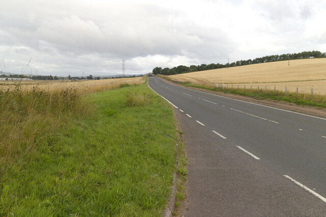
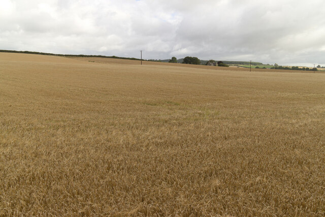
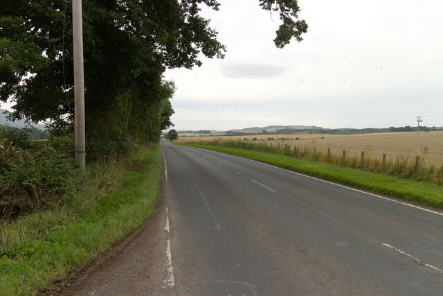
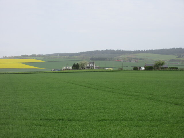
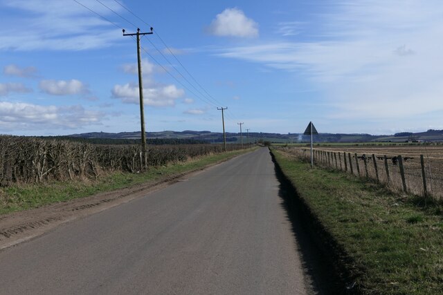
Burial Plantation, located in Fife, Scotland, is a captivating woodland area known for its rich history and stunning natural beauty. Covering a vast expanse of land, the plantation stands as a testament to the region's diverse ecosystem and serves as a tranquil retreat for nature enthusiasts and history buffs alike.

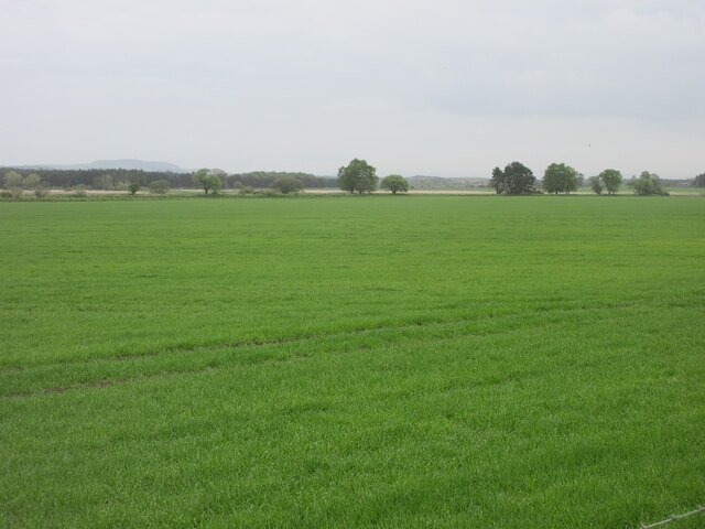
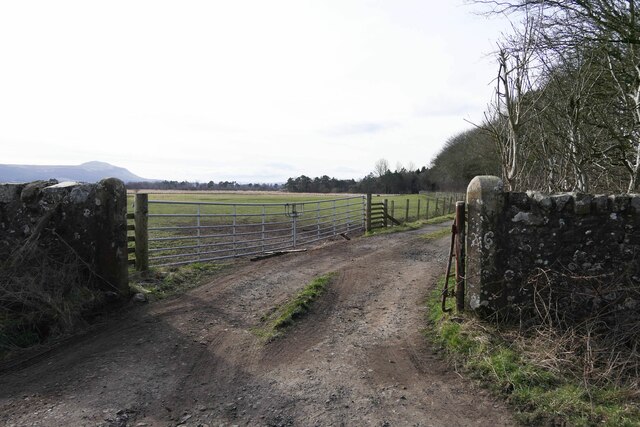
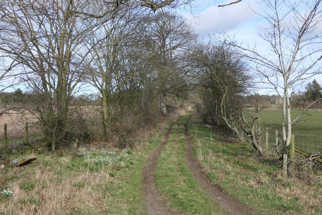
The plantation is characterized by its dense woodland, primarily consisting of a variety of trees including oak, birch, and beech. These towering trees create a lush canopy that provides shade and shelter for a wide array of flora and fauna, making it an ideal habitat for many species of birds, mammals, and insects.

One of the most intriguing aspects of Burial Plantation is its historical significance. The site was once home to ancient burial grounds, dating back hundreds of years. These burial sites, known as tumuli, are an integral part of the plantation's heritage and provide valuable insights into the lives and traditions of the people who lived in the area centuries ago.

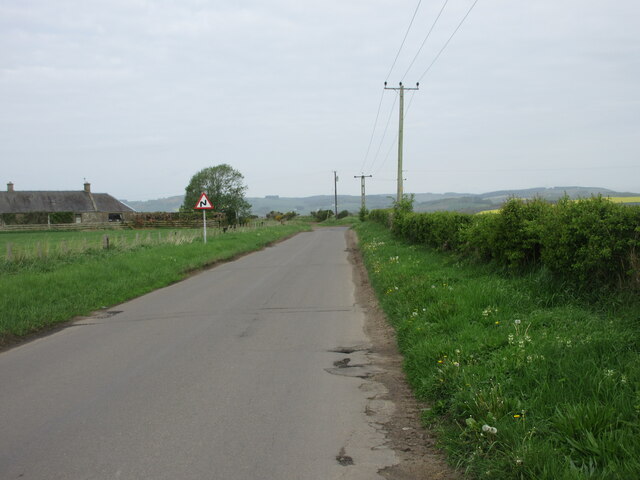
In addition to its natural and historical allure, Burial Plantation offers a range of recreational opportunities for visitors. The well-maintained paths and trails that wind through the woodland make it a popular destination for hiking and walking enthusiasts. The tranquil atmosphere of the plantation also makes it an ideal spot for picnicking, birdwatching, and photography.

Overall, Burial Plantation, Fife, is a captivating woodland area that combines natural beauty, historical significance, and recreational opportunities. Whether one seeks solace in nature, wishes to learn about the region's past, or simply wants to enjoy a peaceful day outdoors, this plantation offers an enriching and unforgettable experience.

If you have any feedback on the listing, please let us know in the comments section below.

Burial Plantation Images

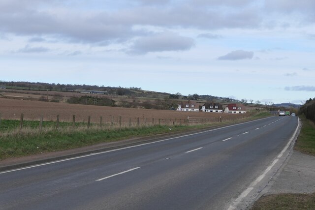
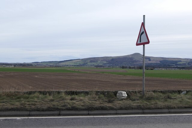
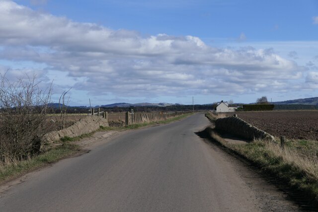
Images are sourced within 2km of 56.295639/-3.1841394 or Grid Reference NO2612. Thanks to Geograph Open Source API. All images are credited.

A91 Cupar Road
A91 Cupar Road
Field near Rossie
Field near Rossie
The A91 near Lizziewells and Drumley
Looking north to Daubs Looking north to Daubs from the C57 (Fife) road between Dunshalt and Ladybank.
Looking north to Daubs
Looking north to Daubs from the C57 (Fife) road between Dunshalt and Ladybank.
Field in the Howe of Fife Large green field in the centre of the Howe of Fife near Bowhouse.
Field in the Howe of Fife
Large green field in the centre of the Howe of Fife near Bowhouse.
C57 (Fife) Road near Bowhouse The C57 road heading for Dunshalt near Bowhouse Farm.
C57 (Fife) Road near Bowhouse
The C57 road heading for Dunshalt near Bowhouse Farm.
Benchmark, Rossieden Cottage, Auchtermuchty Ordnance Survey benchmark, described on database at <span class="nowrap"><a title="https://www.bench-marks.org.uk/bm44695" rel="nofollow ugc noopener" href="https://www.bench-marks.org.uk/bm44695">Link</a><img style="margin-left:2px;" alt="External link" title="External link - shift click to open in new window" src="https://s1.geograph.org.uk/img/external.png" width="10" height="10"/></span>. For context photo, see: <a href="https://www.geograph.org.uk/photo/7429948">NO2411 : Rossieden Cottage, Auchtermuchty</a>
Benchmark, Rossieden Cottage, Auchtermuchty
Ordnance Survey benchmark, described on database at LinkExternal link. For context photo, see: NO2411 : Rossieden Cottage, Auchtermuchty
Entrance to Rossie House Gateposts to Rossie House. There is an Ordnance Survey benchmark on the right hand gatepost. See <a href="https://www.geograph.org.uk/photo/7430102">NO2711 : Benchmark on gatepost to Rossie House</a>.
Entrance to Rossie House
Gateposts to Rossie House. There is an Ordnance Survey benchmark on the right hand gatepost. See NO2711 : Benchmark on gatepost to Rossie House.
Rosslem Cottages on A91
Milestone on A91 near Auchtermuchty To Kinross 11; To Cupar 8
Milestone on A91 near Auchtermuchty
To Kinross 11; To Cupar 8
Bridge over Auchtermuchty Burn near Dunshalt
Rossieden Cottage, Auchtermuchty There is an Ordnance Survey benchmark on this cottage. For photo, see: <a href="https://www.geograph.org.uk/photo/7429901">NO2411 : Benchmark, Rossieden Cottage, Auchtermuchty</a>
Rossieden Cottage, Auchtermuchty
There is an Ordnance Survey benchmark on this cottage. For photo, see: NO2411 : Benchmark, Rossieden Cottage, Auchtermuchty
Track to Drumley
Track to Drumley
Road from Dunshalt to Freuchie
Sign to Backhouse Rossie Estate
Benchmark on gatepost to Rossie House Ordnance Survey benchmark, described on database at <span class="nowrap"><a title="https://www.bench-marks.org.uk/bm187340" rel="nofollow ugc noopener" href="https://www.bench-marks.org.uk/bm187340">Link</a><img style="margin-left:2px;" alt="External link" title="External link - shift click to open in new window" src="https://s1.geograph.org.uk/img/external.png" width="10" height="10"/></span>. See also <a href="https://www.geograph.org.uk/photo/7429916">NO2711 : Entrance to Rossie House</a>.
Benchmark on gatepost to Rossie House
Ordnance Survey benchmark, described on database at LinkExternal link. See also NO2711 : Entrance to Rossie House.
Crested porcupines at Fife Zoo The small zoo off the B937 is affordable to visit and ideal for younger children.
Crested porcupines at Fife Zoo
The small zoo off the B937 is affordable to visit and ideal for younger children.
Ring-tailed lemurs, Fife Zoo This is a 'walk through' enclosure to get close to these intriguing primates, who seem indifferent to humans.    They are judged to be 'endangered' in the wild due to habitat destruction.
Ring-tailed lemurs, Fife Zoo
This is a 'walk through' enclosure to get close to these intriguing primates, who seem indifferent to humans. They are judged to be 'endangered' in the wild due to habitat destruction.
Show me another place!

Burial Plantation is located at Grid Ref: NO2612 (Lat: 56.295639, Lng: -3.1841394)

Unitary Authority: Fife

Police Authority: Fife

What 3 Words

///patching.cookery.crusaders. Near Auchtermuchty, Fife

Nearby Locations

Burial Plantation

Related Wikis

Birnie Loch

Birnie Loch is located in North East Fife, Scotland, adjacent to the crossroads between the A91 and B937 roads. It is entirely artificial in nature, being...

Collessie railway station

Collessie railway station served the village of Collessie, Fife, Scotland from 1847 to 1955 on the Edinburgh and Northern Railway. == History == The station...

Collessie

Collessie is a village and parish of Fife, Scotland. The village is set on a small hillock centred on a historic church. Due to rerouting of roads, it...

Auchtermuchty railway station

Auchtermuchty railway station served the village of Auchtermuchty, in Fife, Scotland. == History == Opened by the Fife and Kinross Railway, it became part...

Nearby Amenities

Located within 500m of 56.295639,-3.1841394
Power: pole
Lat/Long: 56.2965414/-3.188821
Power: pole
Lat/Long: 56.2971095/-3.1893071
Power: pole
Lat/Long: 56.2976408/-3.1897497
Power: pole
Lat/Long: 56.2982066/-3.1902089
The data included in this document is from www.openstreetmap.org. The data is made available under ODbL.

Have you been to Burial Plantation?

Leave your review of Burial Plantation below (or comments, questions and feedback).