Catsham

Settlement in Somerset Mendip

England

Catsham

Donkeys at West Town, Baltonsborough
Donkeys at West Town, Baltonsborough Credit: Patrick Mackie

Catsham is a small village located in the county of Somerset, England. Situated in the Mendip Hills, it lies approximately 8 miles west of the town of Frome and 17 miles south of the city of Bath. The village is nestled in a picturesque countryside setting, with rolling green hills and scenic landscapes.

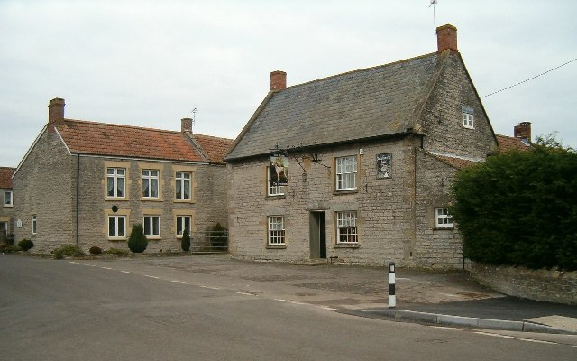
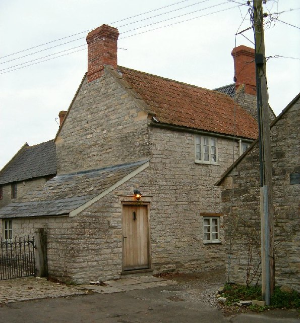
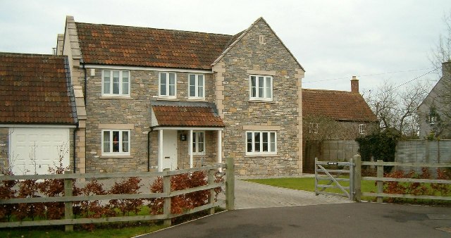
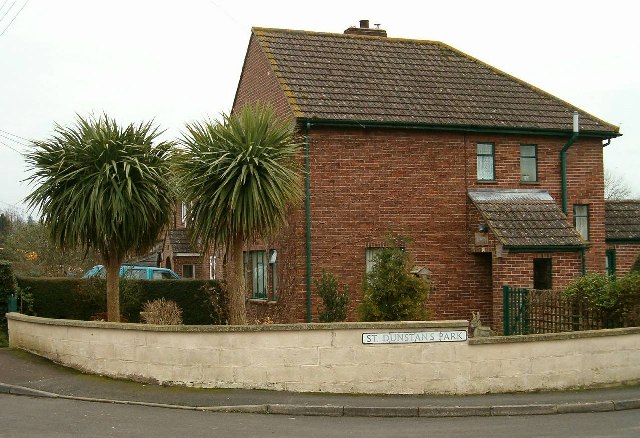
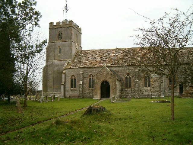
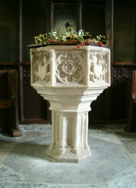
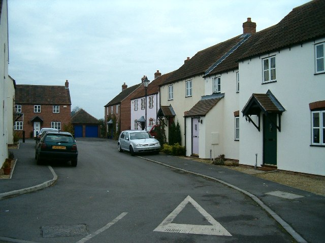
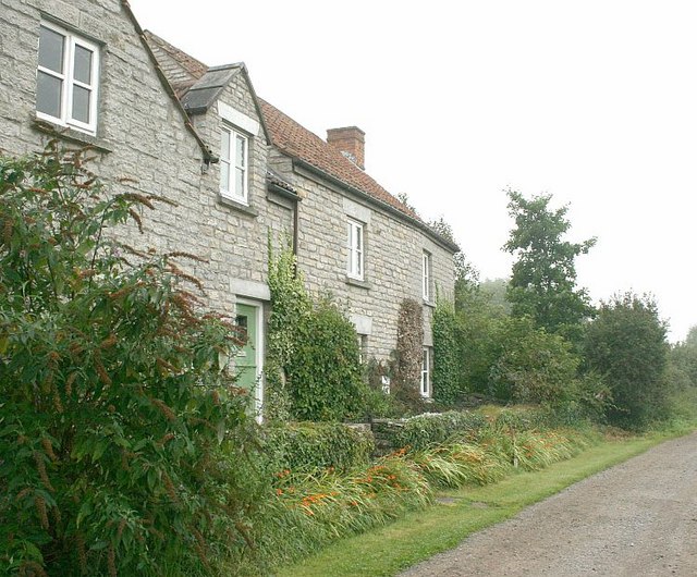
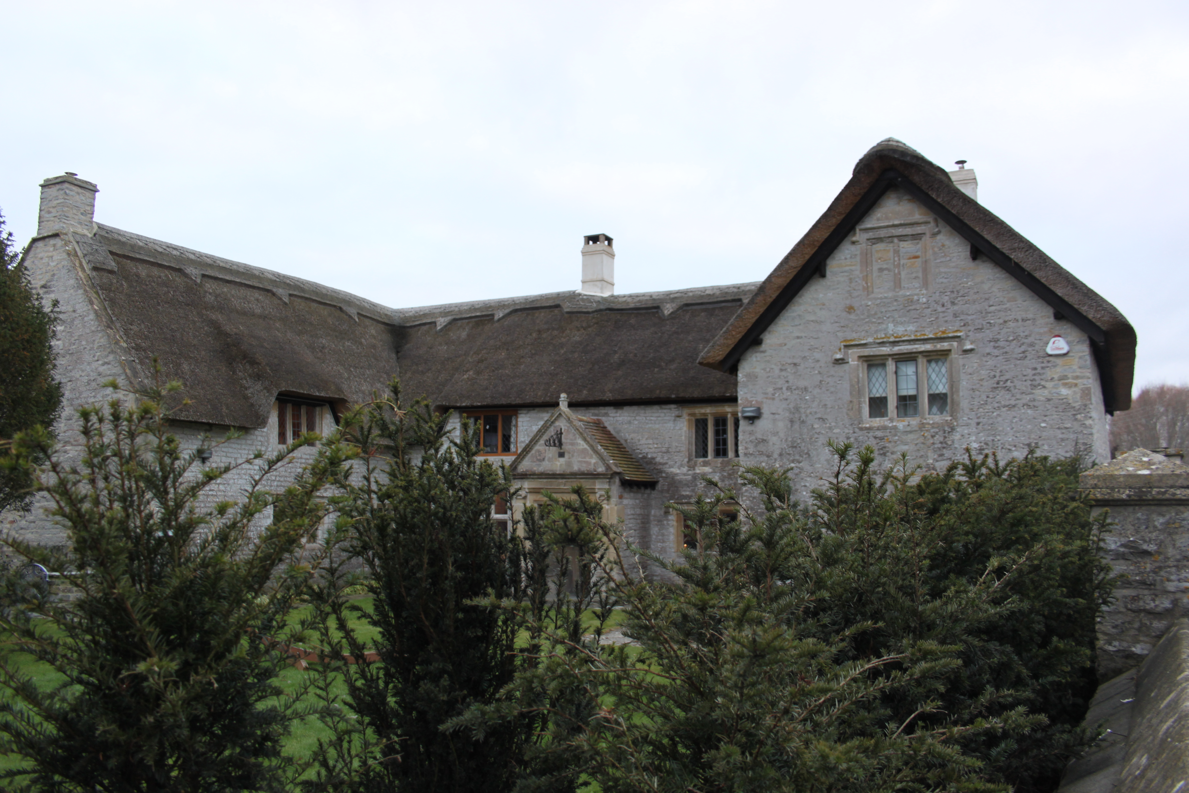
With a population of around 200 residents, Catsham maintains a tight-knit community atmosphere. The village is characterized by its traditional English charm, with many historic buildings and thatched-roof cottages still standing. The local parish church, St. Mary's, dates back to the 14th century and serves as a prominent landmark.

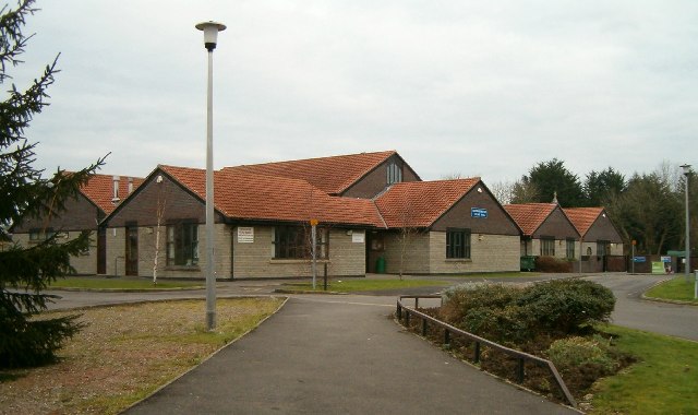
Despite its small size, Catsham offers various amenities for its residents. These include a village hall, which serves as a hub for community events and gatherings, as well as a primary school that caters to the educational needs of local children. Additionally, there is a village pub where residents and visitors can enjoy a pint and traditional British cuisine.

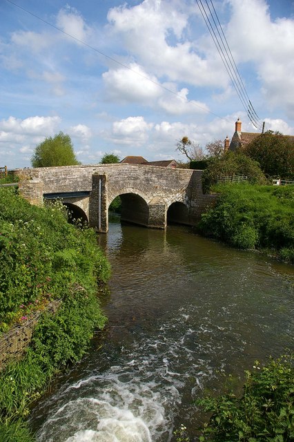
The surrounding natural beauty of Catsham makes it an ideal location for outdoor enthusiasts. The Mendip Hills, designated an Area of Outstanding Natural Beauty, offer ample opportunities for hiking, cycling, and exploring nature trails. The nearby River Frome is popular for fishing and boating activities.

Overall, Catsham is a tranquil and idyllic village that offers a peaceful lifestyle amidst stunning natural surroundings. Its rich history, community spirit, and proximity to beautiful landscapes make it an attractive place to live or visit for those seeking a quintessential English countryside experience.

If you have any feedback on the listing, please let us know in the comments section below.
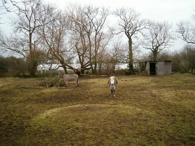
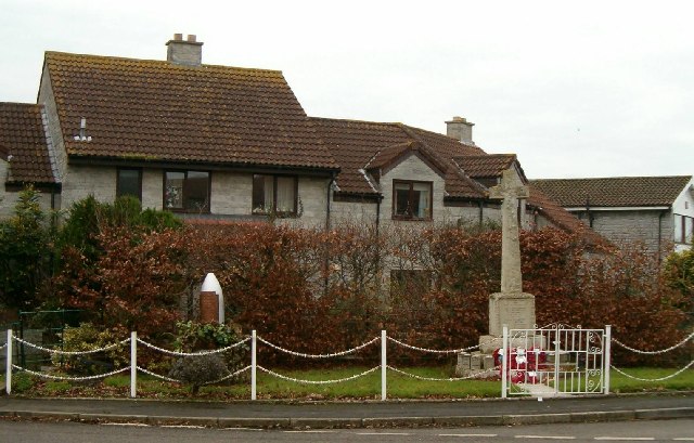
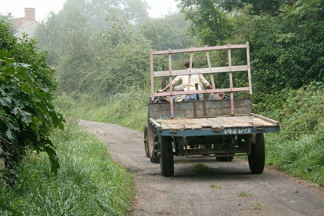
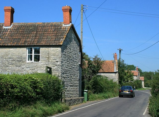
Catsham Images

Images are sourced within 2km of 51.101142/-2.641811 or Grid Reference ST5533. Thanks to Geograph Open Source API. All images are credited.

Donkeys at West Town, Baltonsborough
The Greyhound Inn, Baltonsborough
Clerks Cottage This small cottage, in local vernacular and built of lias stone, lies beside the churchyard.
Clerks Cottage
This small cottage, in local vernacular and built of lias stone, lies beside the churchyard.
War Memorial
War Memorial
A New House
A New House
Palm Trees in Somerset
New Village Hall and Primary School
St Dunstan's Church The church dates from the fifteenth century and is a complete work of one period.
Both nave and chancel have waggon roofs of rather low pitch and are covered externally with stone tiles.
The chancel roof has three purlins, the side purlins being nearer to the walls than the centre line of the roof. There is a rich wall plate with three hollow mouldings, each containing carved paterae or leaf ornaments, with an angel at the spring of each base. There are carved bosses at the intersections of the ribs.
The nave roof is similar, except that the wall plate is plain and without angels. At its eastern side, however, there is an interesting and valuable enriched section with eleven short purlins dividing this section into twenty four small rectangular compartments. The reason for this particular enrichment is the desire to form a kind of canopy of honour over the great Rood and its accompanying figures, which stood on a loft on the screen. The existing screen is modern.
The above is an extract from a report written on the church in 1922.
St Dunstan's Church
The church dates from the fifteenth century and is a complete work of one period. Both nave and chancel have waggon roofs of rather low pitch and are covered externally with stone tiles. The chancel roof has three purlins, the side purlins being nearer to the walls than the centre line of the roof. There is a rich wall plate with three hollow mouldings, each containing carved paterae or leaf ornaments, with an angel at the spring of each base. There are carved bosses at the intersections of the ribs. The nave roof is similar, except that the wall plate is plain and without angels. At its eastern side, however, there is an interesting and valuable enriched section with eleven short purlins dividing this section into twenty four small rectangular compartments. The reason for this particular enrichment is the desire to form a kind of canopy of honour over the great Rood and its accompanying figures, which stood on a loft on the screen. The existing screen is modern. The above is an extract from a report written on the church in 1922.
Font in St Dunstan's Church
Mill Leat at Baltonsborough Taken from the churchyard of St Dunstan's Church.
Mill Leat at Baltonsborough
Taken from the churchyard of St Dunstan's Church.
New Houses On the site of the former paper mill at Baltonsborough.
New Houses
On the site of the former paper mill at Baltonsborough.
Tootle Bridge, Barton St David Tootle Bridge is on the River Brue, the white water is from and old  mill stream that has its confluence at this point.
Tootle Bridge, Barton St David
Tootle Bridge is on the River Brue, the white water is from and old mill stream that has its confluence at this point.
2007 : Cottages at Gosling Street At the end of a lane from Barton St.David on low lying land, the main business here seems to be sheep and cattle farming.
2007 : Cottages at Gosling Street
At the end of a lane from Barton St.David on low lying land, the main business here seems to be sheep and cattle farming.
2007 : Traffic of the Area At Gosling Street.  Barton Lower Farm is about 150 yards behind the camera position.
2007 : Traffic of the Area
At Gosling Street. Barton Lower Farm is about 150 yards behind the camera position.
2007 : Rush Hour at Catsham On a quiet road between Barton St. David and Baltonsborough.
2007 : Rush Hour at Catsham
On a quiet road between Barton St. David and Baltonsborough.
Pasture land near Southwood East of Southwood, looking south east over meadow and wood.
Pasture land near Southwood
East of Southwood, looking south east over meadow and wood.
Dunstan's Dyke Part of the River Brue, Dunstan's Dyke runs beside Honey Mead Lane south of Catsham.
Probably named for St.Dunstan born in 909 AD in nearby Baltonsborough. <span class="nowrap"><a title="http://en.wikipedia.org/wiki/Dunstan" rel="nofollow ugc noopener" href="http://en.wikipedia.org/wiki/Dunstan">Link</a><img style="margin-left:2px;" alt="External link" title="External link - shift click to open in new window" src="https://s1.geograph.org.uk/img/external.png" width="10" height="10"/></span>
Dunstan's Dyke
Part of the River Brue, Dunstan's Dyke runs beside Honey Mead Lane south of Catsham. Probably named for St.Dunstan born in 909 AD in nearby Baltonsborough. LinkExternal link
2007 : Southwood, near Manor Farm A hamlet on the road east of Catsham.
2007 : Southwood, near Manor Farm
A hamlet on the road east of Catsham.
Show me another place!

Catsham is located at Grid Ref: ST5533 (Lat: 51.101142, Lng: -2.641811)

Administrative County: Somerset

District: Mendip

Police Authority: Avon and Somerset

What 3 Words

///unscrew.courts.gown. Near Street, Somerset

Nearby Locations

Southwood Catsham

Related Wikis

Baltonsborough

Baltonsborough is a village and civil parish in Somerset, England. The parish had a population of 864 at the 2011 Census. As well as Baltonsborough village...

The Gatehouse, Baltonsborough

The Gatehouse in Baltonsborough, Somerset, England, is a thatched house dating from the 16th century. It has been designated a Grade I listed building...

Barton St David

Barton St David or commonly referred to as Barton is a village and civil parish on the River Brue adjacent to Keinton Mandeville at the foot of Combe Hill...

Church of St Peter, Lydford-on-Fosse

The Church of St Peter in Lydford-on-Fosse, Somerset, England was built in 1846. It is a Grade II* listed building. == History == The church was built...

Church of St Mary, West Bradley

The Anglican Church of St Mary in Lottisham, West Bradley, Somerset, England, was built in 1876. It is a Grade II* listed building. == History == The church...

West Lydford

West Lydford is a village and former civil parish, now in the parish of Lydford-on-Fosse in Somerset, England. The village is spread along a stretch of...

Church of St David, Barton St David

The Anglican Church of St David in Barton St David, Somerset, England, was built in the 12th to 15th centuries. It is a Grade II* listed building. ��2...

Butleigh

Butleigh is a small village and civil parish, located in Somerset. The nearest village to it is Barton St David, and it is located a short distance from...

Nearby Amenities

Located within 500m of 51.101142,-2.641811
Waterway: weir
Lat/Long: 51.1019839/-2.6469533
The data included in this document is from www.openstreetmap.org. The data is made available under ODbL.

Have you been to Catsham?

Leave your review of Catsham below (or comments, questions and feedback).