Berrybush Forest
Wood, Forest in Selkirkshire
Scotland
Berrybush Forest

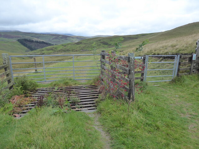
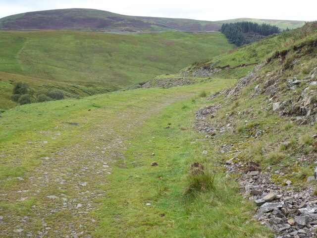
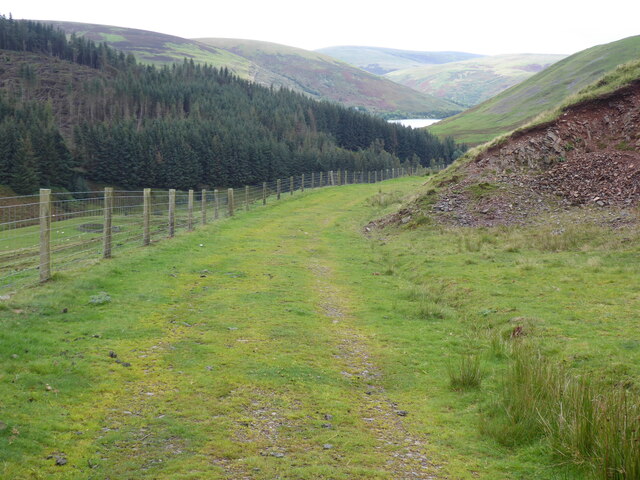
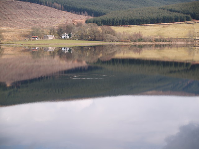
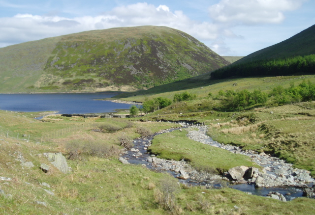
Berrybush Forest, located in Selkirkshire, is a picturesque woodland area renowned for its natural beauty and diverse ecosystem. Covering an expansive area of approximately 500 acres, this enchanting forest is situated in the southern part of Scotland, near the town of Selkirk.
The forest is predominantly composed of a variety of native tree species, including oak, beech, birch, and pine. These majestic trees form a dense canopy that provides shade and shelter for an array of wildlife. The forest floor is adorned with a vibrant carpet of lush green ferns, wildflowers, and mosses, creating a serene and tranquil atmosphere.
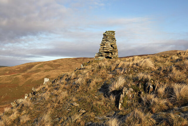
Wandering through the forest, visitors can discover a network of walking trails that meander through the ancient woodland. These paths offer an opportunity to immerse oneself in the natural surroundings and observe the rich biodiversity that thrives within the forest. Wildlife enthusiasts can spot an assortment of animals, such as red squirrels, roe deer, badgers, and a myriad of bird species, including woodpeckers and owls.
Berrybush Forest also boasts a small stream that ambles through its heart, providing a source of water for the local flora and fauna. The babbling brook adds to the forest's idyllic charm and serves as a peaceful backdrop for those seeking solace in nature.
The forest is a popular destination for outdoor activities, including hiking, nature photography, and picnicking. Its accessibility and well-maintained trails make it suitable for individuals of all ages and fitness levels.
Overall, Berrybush Forest offers a captivating and immersive experience for nature lovers, providing a tranquil escape from the hustle and bustle of everyday life.
If you have any feedback on the listing, please let us know in the comments section below.
Berrybush Forest Images
Images are sourced within 2km of 55.458808/-3.1669344 or Grid Reference NT2618. Thanks to Geograph Open Source API. All images are credited.


Berrybush Forest is located at Grid Ref: NT2618 (Lat: 55.458808, Lng: -3.1669344)
Unitary Authority: The Scottish Borders
Police Authority: The Lothians and Scottish Borders
What 3 Words
///licks.intruding.placidly. Near Ettrick, Scottish Borders
Nearby Locations
Related Wikis
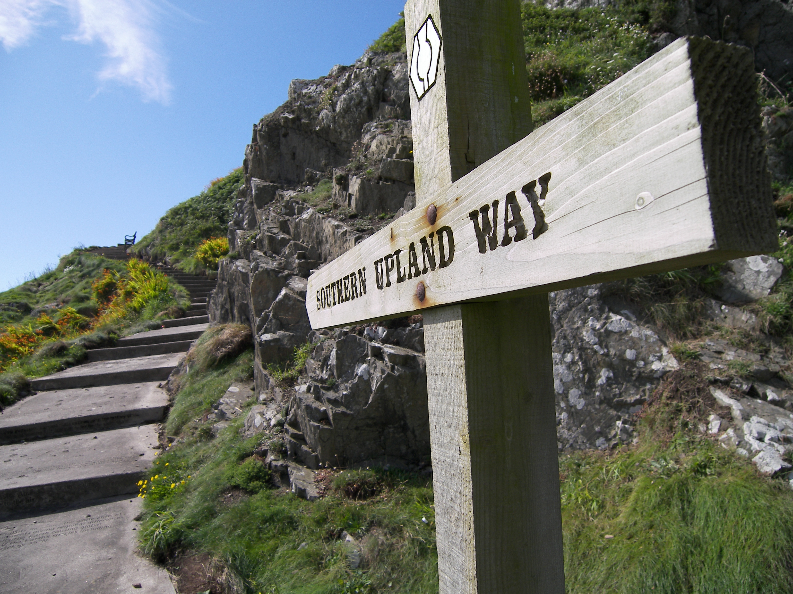
Southern Upland Way
The Southern Upland Way is a 344-kilometre (214 mi) coast-to-coast long-distance footpath in southern Scotland. The route links Portpatrick in the west...
Bowerhope
Bowerhope is a village off the A708, in the Scottish Borders area of Scotland, on the banks of St Mary's Loch in Ettrick Forest. == See also == List of...
Megget Water
Megget Water is a river in the parish of Yarrow, Selkirkshire in the Scottish Borders area of Scotland. The Water rises at Broad Law (2,760 ft), passes...

Tushielaw Tower
Tushielaw Tower is a 16th-century tower house, about 2.5 miles (4.0 km) north and east of Ettrick, Scottish Borders, Scotland, and west of Ettrick Water...
Have you been to Berrybush Forest?
Leave your review of Berrybush Forest below (or comments, questions and feedback).