Owl Plantation

Wood, Forest in Fife

Scotland

Owl Plantation

A91 Cupar Road
A91 Cupar Road Credit: Mark Anderson

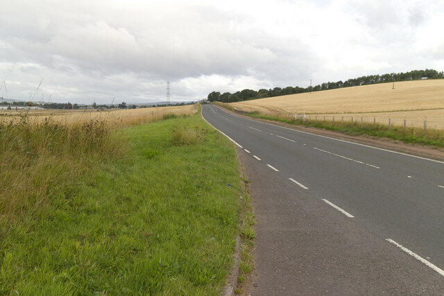
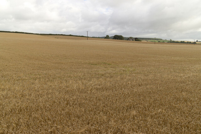
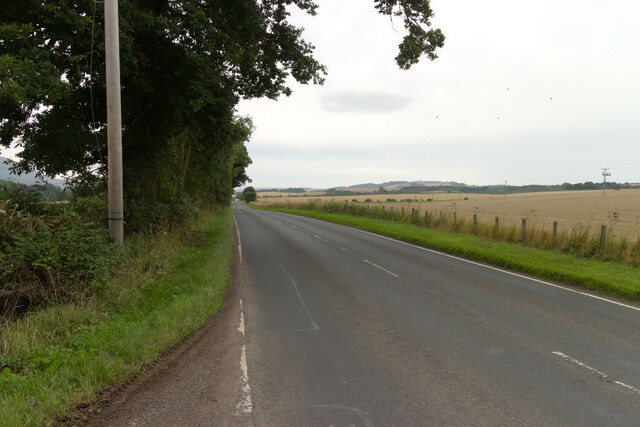
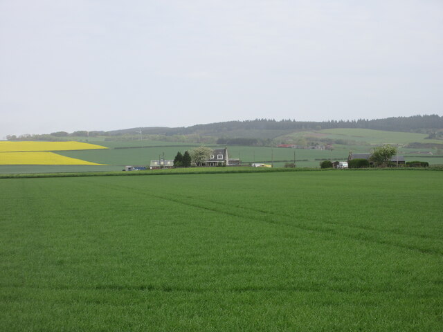
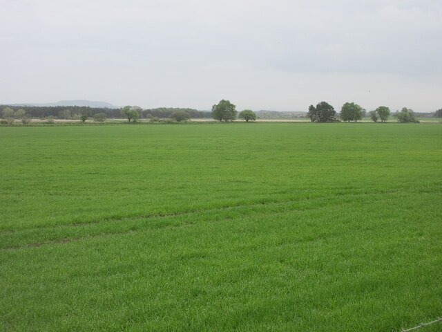
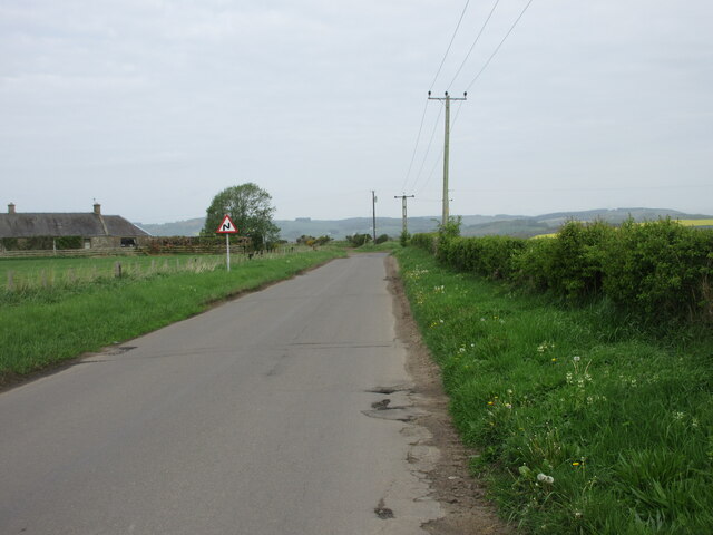
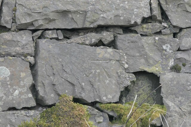
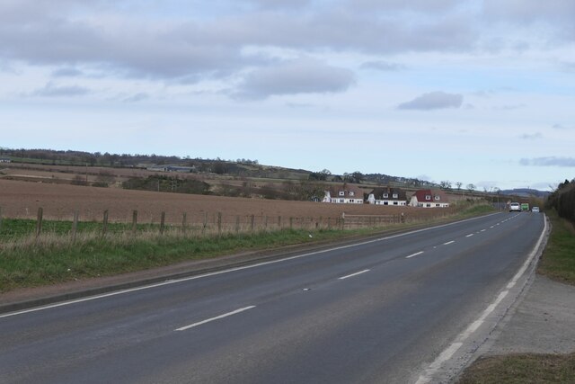
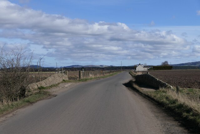
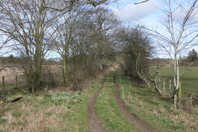
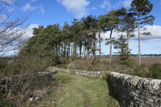
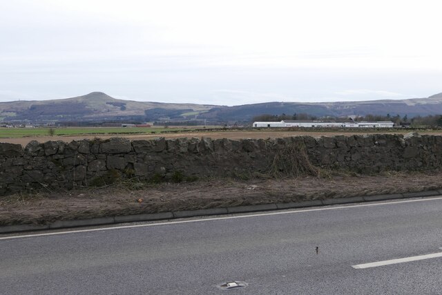
Owl Plantation is a scenic woodland located in Fife, Scotland. Spread across a vast area, the plantation is renowned for its rich biodiversity and stunning natural beauty. With its dense canopy and lush undergrowth, Owl Plantation provides a perfect habitat for a variety of wildlife species.

The woodland comprises a diverse range of trees, including oak, birch, beech, and pine, which contribute to its unique ecosystem. These trees provide shelter and nesting sites for numerous bird species, such as owls, woodpeckers, and songbirds, hence the plantation's name. The presence of these birds adds to the enchanting ambiance of the forest, especially during twilight when their hooting and chirping can be heard echoing through the trees.

Aside from its avian inhabitants, Owl Plantation is also home to a diverse array of mammals, including red squirrels, badgers, and foxes. These animals thrive in the woodland's abundant food sources and are often spotted by visitors exploring the forest trails.

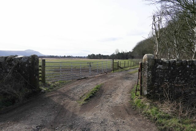
The plantation offers several well-maintained walking trails, allowing visitors to explore its natural wonders at their own pace. These trails meander through the woodland, providing breathtaking views of the surrounding landscape. Along the way, there are benches strategically placed where visitors can rest and soak in the serenity of the forest.

Owl Plantation is a popular destination for nature lovers and outdoor enthusiasts. Its tranquil atmosphere, coupled with its remarkable flora and fauna, make it an ideal place for relaxation and exploration. Whether one seeks a peaceful retreat or an opportunity to observe wildlife in its natural habitat, Owl Plantation captivates visitors with its timeless beauty.

If you have any feedback on the listing, please let us know in the comments section below.

Owl Plantation Images

Images are sourced within 2km of 56.290931/-3.1925244 or Grid Reference NO2611. Thanks to Geograph Open Source API. All images are credited.

A91 Cupar Road
A91 Cupar Road
Field near Rossie
Field near Rossie
The A91 near Lizziewells and Drumley
B936 into Dunshalt The B936 heading north into the village of Dunshalt.
B936 into Dunshalt
The B936 heading north into the village of Dunshalt.
Looking north to Daubs Looking north to Daubs from the C57 (Fife) road between Dunshalt and Ladybank.
Looking north to Daubs
Looking north to Daubs from the C57 (Fife) road between Dunshalt and Ladybank.
Field in the Howe of Fife Large green field in the centre of the Howe of Fife near Bowhouse.
Field in the Howe of Fife
Large green field in the centre of the Howe of Fife near Bowhouse.
C57 (Fife) Road near Bowhouse The C57 road heading for Dunshalt near Bowhouse Farm.
C57 (Fife) Road near Bowhouse
The C57 road heading for Dunshalt near Bowhouse Farm.
Benchmark, Rossieden Cottage, Auchtermuchty Ordnance Survey benchmark, described on database at <span class="nowrap"><a title="https://www.bench-marks.org.uk/bm44695" rel="nofollow ugc noopener" href="https://www.bench-marks.org.uk/bm44695">Link</a><img style="margin-left:2px;" alt="External link" title="External link - shift click to open in new window" src="https://s1.geograph.org.uk/img/external.png" width="10" height="10"/></span>. For context photo, see: <a href="https://www.geograph.org.uk/photo/7429948">NO2411 : Rossieden Cottage, Auchtermuchty</a>
Benchmark, Rossieden Cottage, Auchtermuchty
Ordnance Survey benchmark, described on database at LinkExternal link. For context photo, see: NO2411 : Rossieden Cottage, Auchtermuchty
Benchmark, Southfield, Auchtermuchty Ordnance Survey benchmark on wall, described on database at <span class="nowrap"><a title="https://www.bench-marks.org.uk/bm187337" rel="nofollow ugc noopener" href="https://www.bench-marks.org.uk/bm187337">Link</a><img style="margin-left:2px;" alt="External link" title="External link - shift click to open in new window" src="https://s1.geograph.org.uk/img/external.png" width="10" height="10"/></span>. See also <a href="https://www.geograph.org.uk/photo/7429980">NO2411 : Wall on A91 near Auchtermuchty</a>.
Benchmark, Southfield, Auchtermuchty
Ordnance Survey benchmark on wall, described on database at LinkExternal link. See also NO2411 : Wall on A91 near Auchtermuchty.
Entrance to Rossie House Gateposts to Rossie House. There is an Ordnance Survey benchmark on the right hand gatepost. See <a href="https://www.geograph.org.uk/photo/7430102">NO2711 : Benchmark on gatepost to Rossie House</a>.
Entrance to Rossie House
Gateposts to Rossie House. There is an Ordnance Survey benchmark on the right hand gatepost. See NO2711 : Benchmark on gatepost to Rossie House.
Rosslem Cottages on A91
Milestone on A91 near Auchtermuchty To Kinross 11; To Cupar 8
Milestone on A91 near Auchtermuchty
To Kinross 11; To Cupar 8
Bridge over Auchtermuchty Burn near Dunshalt
Benchmark 1 Cupar Road, Auchtermuchty Ordnance  Survey benchmark on cottage, described on database at <span class="nowrap"><a title="https://www.bench-marks.org.uk/bm37589" rel="nofollow ugc noopener" href="https://www.bench-marks.org.uk/bm37589">Link</a><img style="margin-left:2px;" alt="External link" title="External link - shift click to open in new window" src="https://s1.geograph.org.uk/img/external.png" width="10" height="10"/></span>. See also <a href="https://www.geograph.org.uk/photo/7430048">NO2411 : 1 Cupar Road, Auchtermuchty</a>.
Benchmark 1 Cupar Road, Auchtermuchty
Ordnance Survey benchmark on cottage, described on database at LinkExternal link. See also NO2411 : 1 Cupar Road, Auchtermuchty.
Rossieden Cottage, Auchtermuchty There is an Ordnance Survey benchmark on this cottage. For photo, see: <a href="https://www.geograph.org.uk/photo/7429901">NO2411 : Benchmark, Rossieden Cottage, Auchtermuchty</a>
Rossieden Cottage, Auchtermuchty
There is an Ordnance Survey benchmark on this cottage. For photo, see: NO2411 : Benchmark, Rossieden Cottage, Auchtermuchty
Track to Drumley
Track to Drumley
Bridge over Rossie Drain, near Easter Kilwhiss
Wall on A91 near Auchtermuchty There is an Ordnance Survey benchmark on this wall, more or less directly below East Lomond. See also <a href="https://www.geograph.org.uk/photo/7429912">NO2411 : Benchmark, Southfield, Auchtermuchty</a>.
Wall on A91 near Auchtermuchty
There is an Ordnance Survey benchmark on this wall, more or less directly below East Lomond. See also NO2411 : Benchmark, Southfield, Auchtermuchty.
Show me another place!

Owl Plantation is located at Grid Ref: NO2611 (Lat: 56.290931, Lng: -3.1925244)

Unitary Authority: Fife

Police Authority: Fife

What 3 Words

///cave.decently.december. Near Auchtermuchty, Fife

Nearby Locations

Owl Plantation

Related Wikis

Auchtermuchty railway station

Auchtermuchty railway station served the village of Auchtermuchty, in Fife, Scotland. == History == Opened by the Fife and Kinross Railway, it became part...

Myres Castle

Myres Castle is a Scottish castle situated in Fife near the village of Auchtermuchty. Its history is interleaved with that of nearby Falkland Palace with...

Birnie Loch

Birnie Loch is located in North East Fife, Scotland, adjacent to the crossroads between the A91 and B937 roads. It is entirely artificial in nature, being...

Auchtermuchty Town House

Auchtermuchty Town House is a municipal structure in the High Street, Auchtermuchty, Fife, Scotland. The structure, which accommodates the local public...

Have you been to Owl Plantation?

Leave your review of Owl Plantation below (or comments, questions and feedback).