The Forest

Wood, Forest in Dumfriesshire

Scotland

The Forest

Cottage  at Blackwoodridge On the B722 and possibly associated with the old quarry here.
Cottage at Blackwoodridge Credit: M J Richardson

The requested URL returned error: 429 Too Many Requests

If you have any feedback on the listing, please let us know in the comments section below.
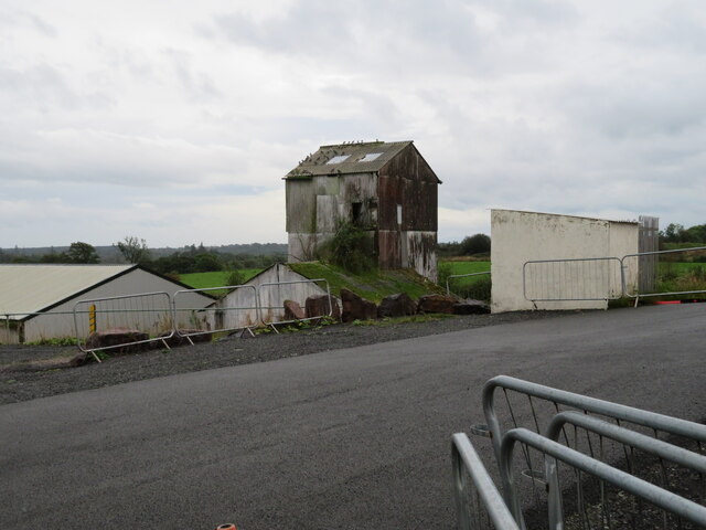
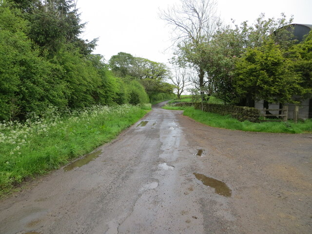
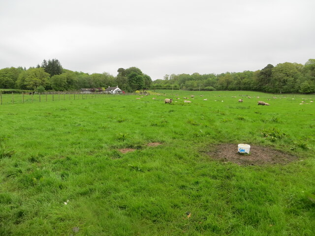
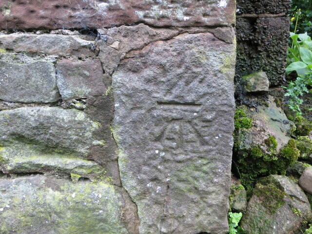
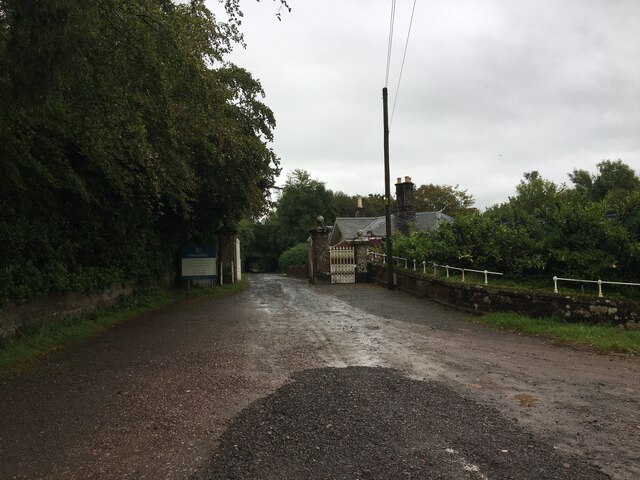
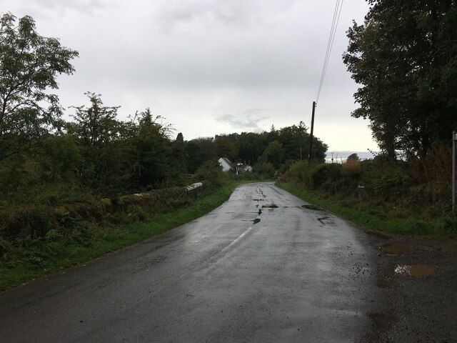
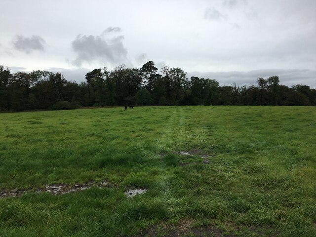
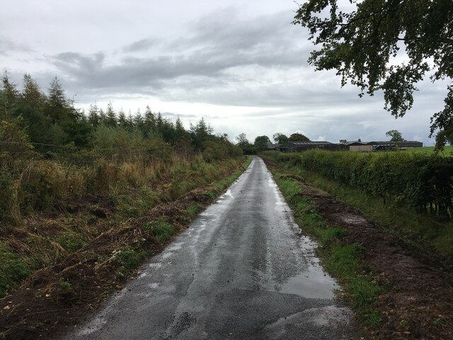
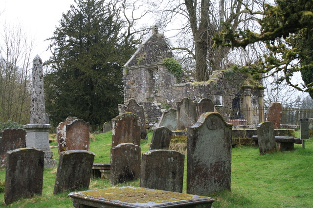
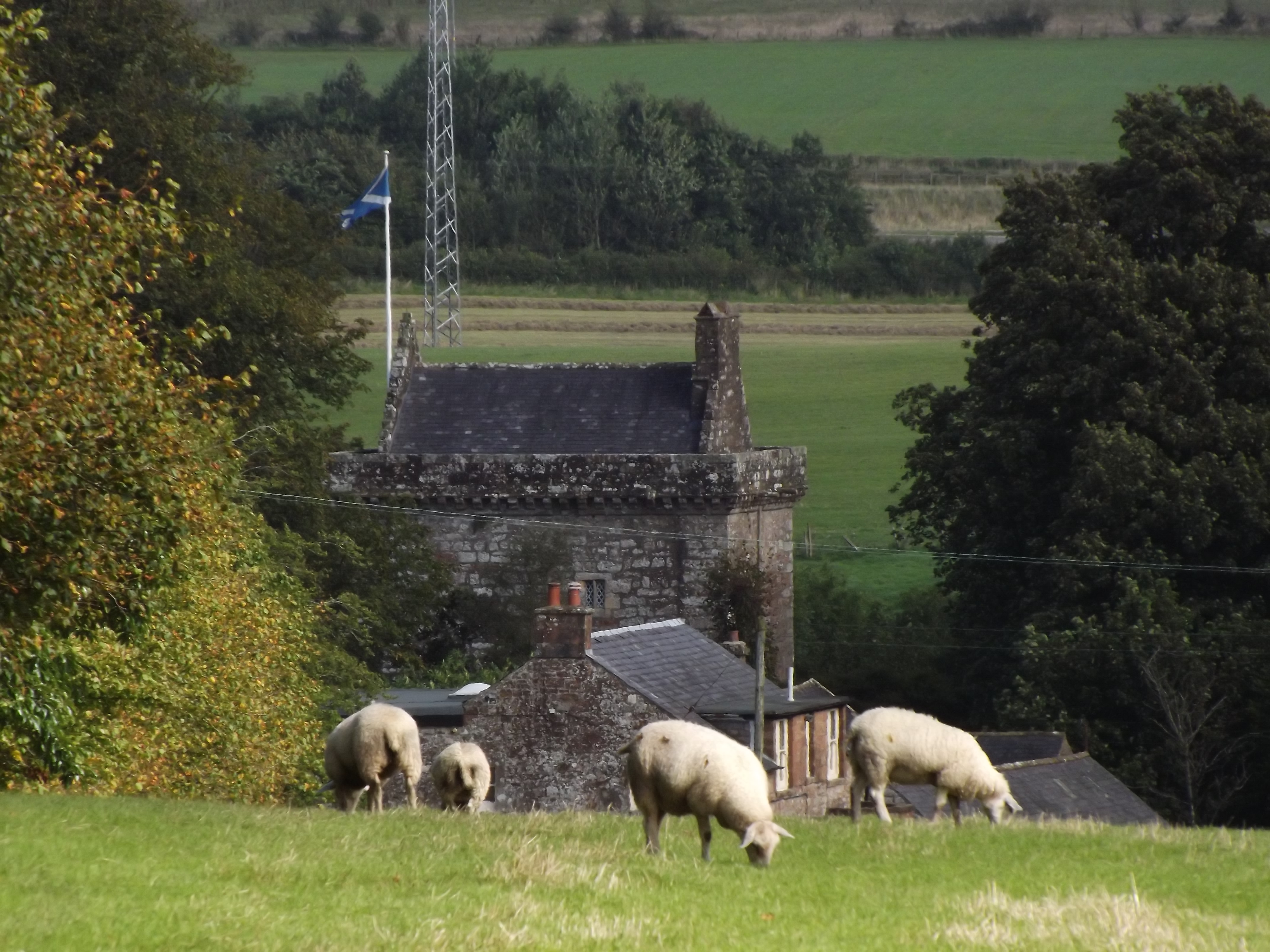
The Forest Images

Images are sourced within 2km of 55.069222/-3.1591377 or Grid Reference NY2675. Thanks to Geograph Open Source API. All images are credited.

Cottage  at Blackwoodridge On the B722 and possibly associated with the old quarry here.
Cottage at Blackwoodridge
On the B722 and possibly associated with the old quarry here.
Works at Blackwoodridge On the site of an old quarry.
Works at Blackwoodridge
On the site of an old quarry.
Minor road at Sharksfields Looking eastward.
Minor road at Sharksfields
Looking eastward.
Pastureland hosting sheep and their lambs Looking northward.
Pastureland hosting sheep and their lambs
Looking northward.
Ordnance Survey Cut Mark This mark can be found on the wall of a barn at Sharksfields.
The recorded details give a height of 89.958 metres above sea level.
For more detail see : <span class="nowrap"><a title="https://www.bench-marks.org.uk/bm171813" rel="nofollow ugc noopener" href="https://www.bench-marks.org.uk/bm171813">Link</a><img style="margin-left:2px;" alt="External link" title="External link - shift click to open in new window" src="https://s1.geograph.org.uk/img/external.png" width="10" height="10"/></span>
Ordnance Survey Cut Mark
This mark can be found on the wall of a barn at Sharksfields. The recorded details give a height of 89.958 metres above sea level. For more detail see : LinkExternal link
Track in field near Blackwoodridge
Entrance to Springkell
Minor road near Eaglesfield
Sheep grazing near Caldronlee
Field near Blackcleugh
Recent drainage works beside road near Sharkshields Farm
Cottage at Blackwoodridge
Track near Blackwoodridge
Kirkconnel Churchyard The ruins of the kirk associated with the tragedy of 'Fair Helen'.
Kirkconnel Churchyard
The ruins of the kirk associated with the tragedy of 'Fair Helen'.
Track leading to the road Near Bakethin Bridge.
Track leading to the road
Near Bakethin Bridge.
Woodland edge and wet grassland This grassland looks to have been improved at some stage but then allowed to revert to its more natural state.
Woodland edge and wet grassland
This grassland looks to have been improved at some stage but then allowed to revert to its more natural state.
Rough track to Dick's Rig Runs through an area of rough grazing.
Rough track to Dick's Rig
Runs through an area of rough grazing.
Track to a disused quarry Passes through an area of rough grazing.
Track to a disused quarry
Passes through an area of rough grazing.
Show me another place!

The Forest is located at Grid Ref: NY2675 (Lat: 55.069222, Lng: -3.1591377)

Unitary Authority: Dumfries and Galloway

Police Authority: Dumfries and Galloway

What 3 Words

///emporium.bunk.recent. Near Eastriggs, Dumfries & Galloway

Nearby Locations

The Forest Birkie Strip

Related Wikis

Eaglesfield, Dumfries and Galloway

Eaglesfield is a village in south east Dumfriesshire in the local authority area of Dumfries and Galloway, Scotland. == History == Eaglesfield is of ancient...

Kirtlebridge

Kirtlebridge is a village in Dumfries and Galloway, southern Scotland. It is located 8 kilometres (5.0 mi) north-east of Annan, 5 kilometres (3.1 mi) north...

Bonshaw Tower

Bonshaw Tower is an oblong tower house, probably dating from the mid-16th century, one mile south of Kirtlebridge, Dumfries and Galloway, Scotland, above...

Kirtlebridge railway station

Kirtlebridge railway station was a station which served the rural area around Kirtlebridge and Eaglesfield, north of Annan in Dumfriesshire, Scotland;...

Nearby Amenities

Located within 500m of 55.069222,-3.1591377
Power: pole
Lat/Long: 55.0729004/-3.1551279
Power: pole
Lat/Long: 55.073185/-3.1568152
Power: pole
Lat/Long: 55.0725951/-3.1573613
Power: pole
Lat/Long: 55.0720037/-3.1578971
The data included in this document is from www.openstreetmap.org. The data is made available under ODbL.

Have you been to The Forest?

Leave your review of The Forest below (or comments, questions and feedback).