Cats Edge
Settlement in Staffordshire Staffordshire Moorlands
England
Cats Edge

Cats Edge is a charming village located in the county of Staffordshire, England. Nestled within the picturesque landscape of the Staffordshire Moorlands, this tranquil village offers a serene escape from the hustle and bustle of city life. With a population of around 500 residents, Cats Edge exudes a strong sense of community and a welcoming atmosphere.
The village is surrounded by lush green fields, rolling hills, and breathtaking views, making it a haven for nature enthusiasts and outdoor lovers. It is situated near the southern edge of the Peak District National Park, providing easy access to stunning hiking trails, cycling routes, and scenic picnic spots.
Cats Edge is home to a variety of traditional English cottages, some dating back several centuries. These charming homes add to the village's character and give a glimpse into its rich history. The local pub, The Cat's Whiskers, is a popular gathering spot for both residents and visitors, offering delicious food and a selection of local ales.
Despite its small size, Cats Edge boasts a strong sense of community spirit. The village hosts various events throughout the year, including summer fairs, Christmas markets, and sports tournaments. These events bring the community together, fostering a warm and friendly environment.
For those seeking a peaceful retreat in the heart of Staffordshire, Cats Edge offers a tranquil and idyllic setting. With its stunning natural surroundings, quaint architecture, and close-knit community, this village is truly a hidden gem within the Staffordshire Moorlands.
If you have any feedback on the listing, please let us know in the comments section below.
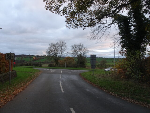
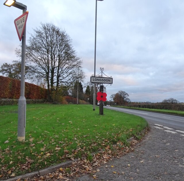
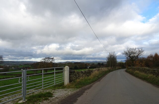
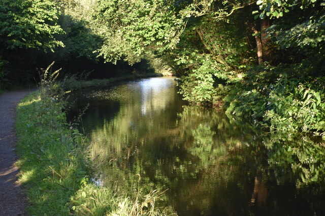
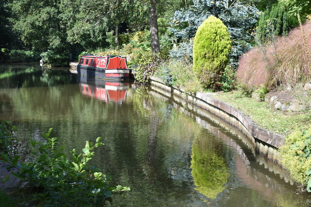
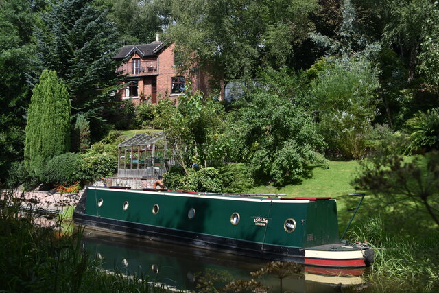
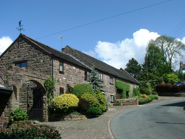
Cats Edge Images
Images are sourced within 2km of 53.071941/-2.079072 or Grid Reference SJ9452. Thanks to Geograph Open Source API. All images are credited.


Cats Edge is located at Grid Ref: SJ9452 (Lat: 53.071941, Lng: -2.079072)
Administrative County: Staffordshire
District: Staffordshire Moorlands
Police Authority: Staffordshire
What 3 Words
///talkative.perfectly.ports. Near Cheddleton, Staffordshire
Nearby Locations
Related Wikis

Deep Hayes Country Park
Deep Hayes Country Park is a country park in Staffordshire, England. It is about 3 miles (4.8 km) south-west of Leek, a short distance south of the A53...
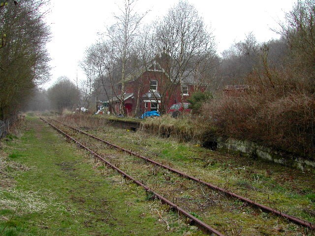
Wall Grange railway station
Wall Grange railway station is a disused railway station in Staffordshire, England. == History == The Stoke–Leek line was opened by the North Staffordshire...
Stanley, Staffordshire
Stanley is a small village in the Staffordshire Moorlands district of Staffordshire, England, about 4 miles (6.4 km) southwest of Leek. The village of...

Endon and Stanley
Endon and Stanley is a civil parish in Staffordshire, England, containing the villages Endon and Stanley. The civil parish (replacing a civil parish containing...
Nearby Amenities
Located within 500m of 53.071941,-2.079072Have you been to Cats Edge?
Leave your review of Cats Edge below (or comments, questions and feedback).