Cat's Ash

Settlement in Monmouthshire

Wales

Cat's Ash

A449 near Kemeys Inferior
A449 near Kemeys Inferior Credit: Colin Pyle

Cat's Ash is a small village located in Monmouthshire, Wales. Situated in the southeastern part of the county, it lies about 3 miles east of the town of Chepstow. The village is nestled in a picturesque rural area, characterized by rolling hills, lush green fields, and scattered woodlands.

Cat's Ash is a tight-knit community with a population of around 500 residents. The village has a rich history dating back centuries, and evidence of its past can be seen in the charming traditional stone cottages that dot the landscape. The name "Cat's Ash" is believed to have originated from the Celtic word "cat" meaning battle, possibly indicating a historical connection to ancient conflicts.

While Cat's Ash is primarily a residential area, it offers a peaceful and serene environment for its inhabitants. The village is well-connected to surrounding towns and cities, making it an ideal place for those seeking a quiet rural lifestyle while still having access to modern amenities. The nearby town of Chepstow provides residents with a range of facilities including schools, shops, and healthcare services.

Nature enthusiasts are drawn to Cat's Ash due to its proximity to the beautiful Wye Valley Area of Outstanding Natural Beauty. This designation ensures the preservation of the area's stunning landscapes, diverse wildlife, and numerous walking trails. Outdoor activities such as hiking, cycling, and bird-watching are popular pastimes for both residents and visitors alike.

In conclusion, Cat's Ash is a charming village in Monmouthshire that offers a tranquil setting, a close-knit community, and easy access to the natural beauty of the surrounding area.

If you have any feedback on the listing, please let us know in the comments section below.
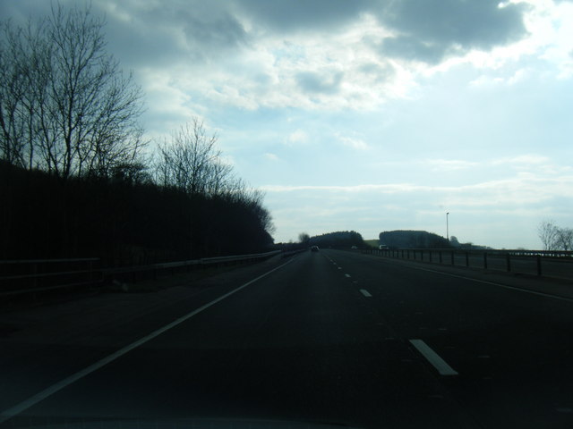
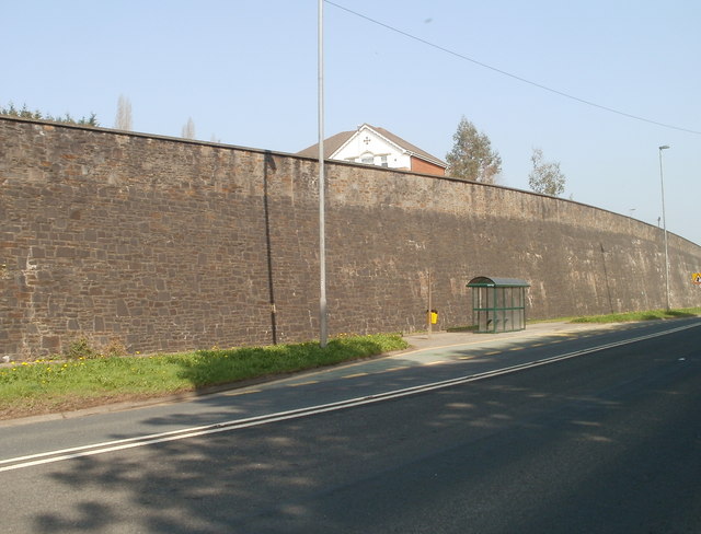
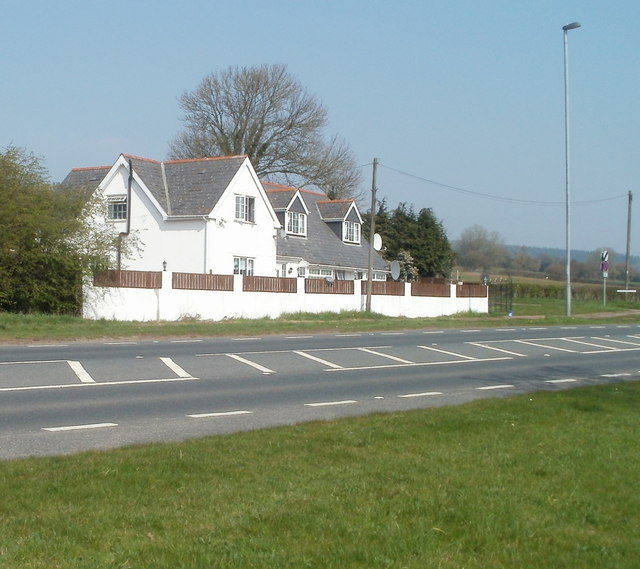
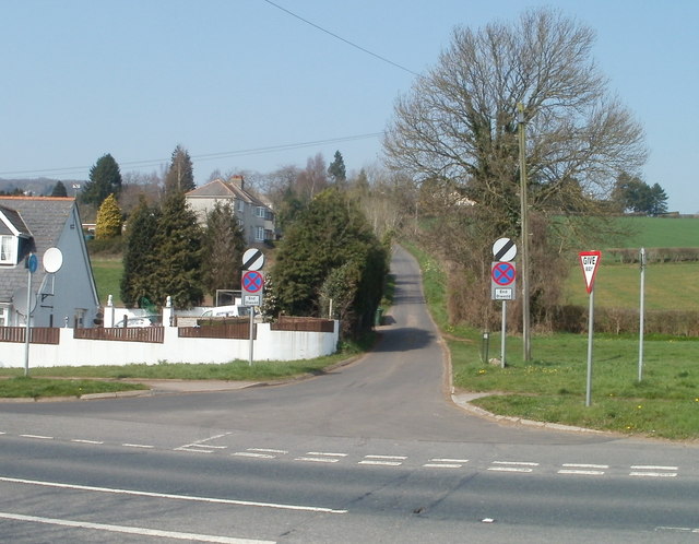
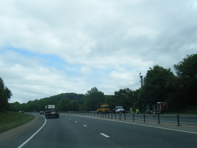
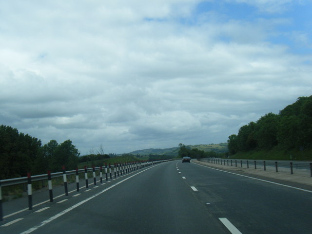
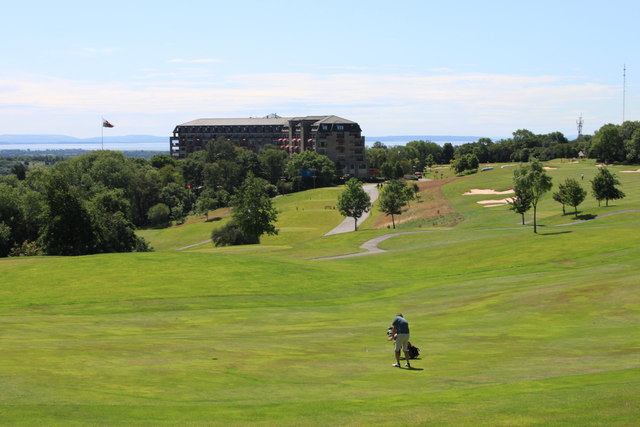
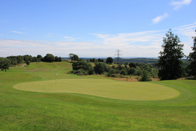
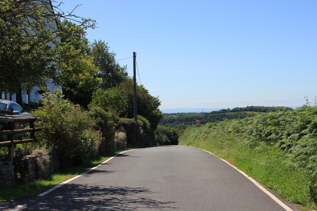
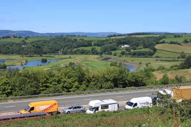
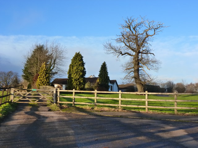
Cat's Ash Images

Images are sourced within 2km of 51.61309/-2.908971 or Grid Reference ST3790. Thanks to Geograph Open Source API. All images are credited.

A449 near Kemeys Inferior
Speed camera, A48, Langstone The speed camera is located NE of the Magor Road junction. <a title="https://www.geograph.org.uk/photo/1668003" href="https://www.geograph.org.uk/photo/1668003">Link</a>
Speed camera, A48, Langstone
The speed camera is located NE of the Magor Road junction. Link
NE boundary of Langstone The speed limit along Chepstow Road (A48) reduces from 50mph to 40mph at the Langstone boundary. Signs advise of the presence of speed cameras. <a title="https://www.geograph.org.uk/photo/2348168" href="https://www.geograph.org.uk/photo/2348168">Link</a>
NE boundary of Langstone
The speed limit along Chepstow Road (A48) reduces from 50mph to 40mph at the Langstone boundary. Signs advise of the presence of speed cameras. Link
Concrete bus shelter, A48 near Llanbedr The small, bleak bus shelter on the south side of Chepstow Road (A48) contrasts with the altogether more welcoming glass and metal shelter <a title="https://www.geograph.org.uk/photo/2348204" href="https://www.geograph.org.uk/photo/2348204">Link</a> on the other side of the road.
Concrete bus shelter, A48 near Llanbedr
The small, bleak bus shelter on the south side of Chepstow Road (A48) contrasts with the altogether more welcoming glass and metal shelter Link on the other side of the road.
Bus shelter and long high wall, A48 near Llanbedr The top of a house peeping above the wall is on Tregarn Road, several metres above  Chepstow Road (A48).
Bus shelter and long high wall, A48 near Llanbedr
The top of a house peeping above the wall is on Tregarn Road, several metres above Chepstow Road (A48).
Germania, Tregarn Road near Langstone Sellers of Audi, VW, Seat and Skoda cars. The firm also does repairs and servicing. Located on the north side of the A48 (Chepstow Road) near the NE end of a long high wall. <a title="https://www.geograph.org.uk/photo/2348204" href="https://www.geograph.org.uk/photo/2348204">Link</a>
Germania, Tregarn Road near Langstone
Sellers of Audi, VW, Seat and Skoda cars. The firm also does repairs and servicing. Located on the north side of the A48 (Chepstow Road) near the NE end of a long high wall. Link
Llanbedr houses, Monmouthshire Houses on the south side of Chepstow Road (A48), opposite Germania. <a title="https://www.geograph.org.uk/photo/2348226" href="https://www.geograph.org.uk/photo/2348226">Link</a>
Llanbedr houses, Monmouthshire
Houses on the south side of Chepstow Road (A48), opposite Germania. Link
Oak Tree House, Llanbedr, Monmouthshire Located on the corner of Chepstow Road (A48) and Mill Lane.
Oak Tree House, Llanbedr, Monmouthshire
Located on the corner of Chepstow Road (A48) and Mill Lane.
Mill Lane, Llanbedr, Monmouthshire Mill Lane heads away from Chepstow Road (A48) towards Llanbedr Farm and The Old Mill.
Mill Lane, Llanbedr, Monmouthshire
Mill Lane heads away from Chepstow Road (A48) towards Llanbedr Farm and The Old Mill.
Corner of Chepstow Road and Caerlicken Lane, Llanbedr Viewed across Chepstow Road (A48). The turning for Caerlicken Lane <a title="https://www.geograph.org.uk/photo/2348301" href="https://www.geograph.org.uk/photo/2348301">Link</a> is on the right edge of the house.
Corner of Chepstow Road and Caerlicken Lane, Llanbedr
Viewed across Chepstow Road (A48). The turning for Caerlicken Lane Link is on the right edge of the house.
Caerlicken Lane, Llanbedr Caerlicken Lane heads north away from Chepstow Road (A48).
Caerlicken Lane, Llanbedr
Caerlicken Lane heads north away from Chepstow Road (A48).
A449 northbound
A449 northbound
A449 heading north
A449 heading north
The 'Roman Road' golf course at Celtic Manor
Green at Celtic Manor golf course
Lane to Usk ascends Catsash hill
Summer traffic jam on the A449 A lorry fire near the Brynglas tunnels has closed the M4 motorway and traffic builds up on the A449 approaching the Coldra motorway junction. Sadly, vehicles heading south were stuck for hours.The Celtic Manor Ryder Cup course and the River Usk can be seen in the background.
Summer traffic jam on the A449
A lorry fire near the Brynglas tunnels has closed the M4 motorway and traffic builds up on the A449 approaching the Coldra motorway junction. Sadly, vehicles heading south were stuck for hours.The Celtic Manor Ryder Cup course and the River Usk can be seen in the background.
Lane at Mount Tudor, Catsash, near Newport
Show me another place!

Cat's Ash is located at Grid Ref: ST3790 (Lat: 51.61309, Lng: -2.908971)

Unitary Authority: Newport

Police Authority: Gwent

What 3 Words

///stealing.regarding.forgiving. Near Langstone, Newport

Nearby Locations

Cat's Ash

Related Wikis

Cat's Ash

Cat's Ash (Welsh: Cathonnen) is a small hamlet to the east of the city centre of the city of Newport, South East Wales. The placename in both English and...

Langstone, Newport

Langstone is a community and village of the city of Newport, Wales. The area is governed by the Newport City Council. The community had a population of...

International Convention Centre Wales

The International Convention Centre Wales (ICC Wales) (Welsh: Canolfan Gynadledda Rhyngwladol Cymru) is a 5,000-capacity venue in the city of Newport,...

Celtic Manor Resort

Celtic Manor Resort is a golf, spa and leisure hotel and resort in the city of Newport, South East Wales. Owned by Sir Terry Matthews, the resort is located...

Glen Usk, Llanhennock

Glen Usk, Llanhennock, Monmouthshire is a country house dating from 1820. It was built for Sir Digby Mackworth, Bt. in the Neoclassical style. The house...

Celtic Classic

The Celtic Classic was a professional golf tournament held 13 to 16 August 2020 on the Twenty-Ten Course at the Celtic Manor Resort, in Newport, Wales...

Wales Open

The Wales Open was a professional golf tournament on the European Tour played at the Celtic Manor Resort. It was played annually from 2000 to 2014, as...

2010 Ryder Cup

The 38th Ryder Cup was held 1–4 October 2010 at the Celtic Manor Resort in Newport, Wales. It was the 17th time the Ryder Cup had been staged in Britain...

Related Videos

OUR LOCKDOWN HOLIDAY

Hi my name is Ben and welcome to my vlog My wife Lauren, son Cole and I headed to coldra court hotel for a fantastic weekend.

Trip to Roman museum and baths

Outing with Elle and Bea.

Nearby Amenities

Located within 500m of 51.61309,-2.908971
Catsash
Alt Name: Cat's Ash
Is In City: Newport
Name Cy: Cathonnen
Place: hamlet
Wikidata: Q5050960
Lat/Long: 51.6124618/-2.9085968
Man Made: tower
Tower Construction: lattice_steel
Tower Type: communication
Lat/Long: 51.6132205/-2.9061628
Ford: yes
Lat/Long: 51.6156866/-2.9112373
Ford: yes
Lat/Long: 51.614167/-2.9123121
Direction: 165
Generator Method: photovoltaic
Generator Output Electricity: yes
Generator Solar Modules: 7
Generator Source: solar
Generator Type: solar_photovoltaic_panel
Location: roof
Power: generator
Lat/Long: 51.6149571/-2.9039982
Direction: 255
Generator Method: photovoltaic
Generator Output Electricity: yes
Generator Solar Modules: 18
Generator Source: solar
Generator Type: solar_photovoltaic_panel
Location: roof
Power: generator
Lat/Long: 51.6125121/-2.9088852
The data included in this document is from www.openstreetmap.org. The data is made available under ODbL.

Have you been to Cat's Ash?

Leave your review of Cat's Ash below (or comments, questions and feedback).