Cluny Muir

Wood, Forest in Fife

Scotland

Cluny Muir

Strathore trig pillar Strathore is flat and low lying. Land use is divided between farming and the remains of the coal industry. The pillar is beside a private drive running across arable land.
Strathore trig pillar Credit: Richard Webb

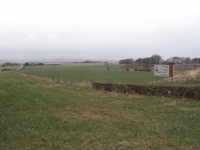
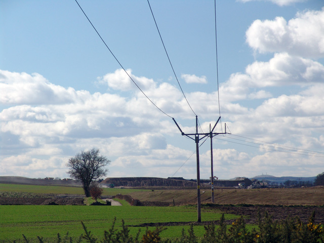
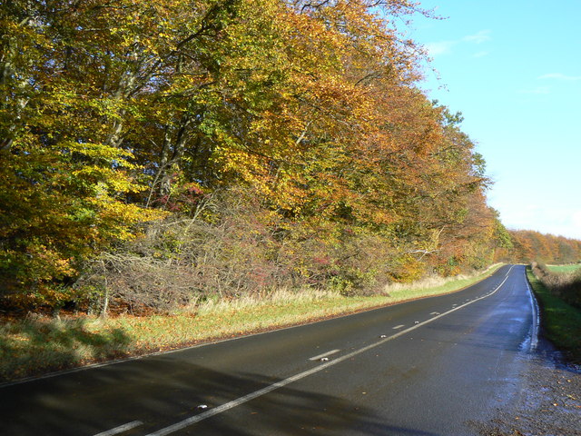
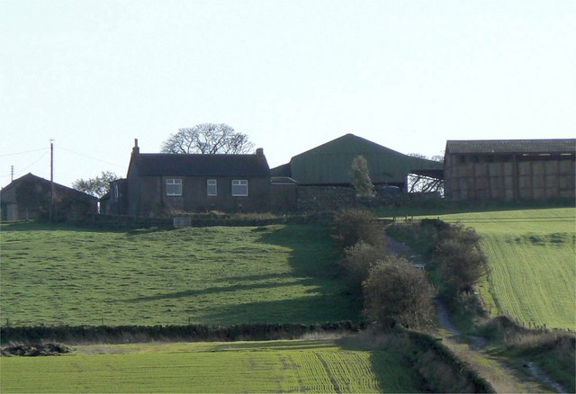
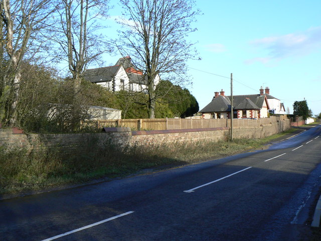
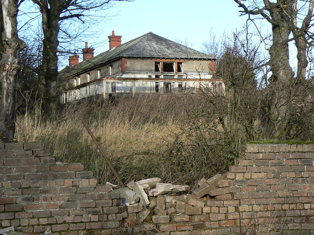
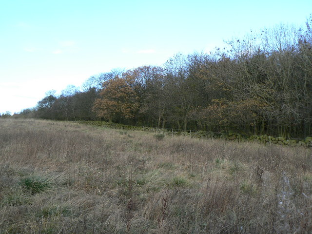
Cluny Muir, located in Fife, Scotland, is a picturesque wood nestled in the heart of the countryside. Spanning over 100 acres, it is a haven for nature enthusiasts and a popular destination for local residents and tourists alike.

The wood is predominantly composed of native Scottish trees, including oak, birch, and beech, which create a lush and vibrant environment. The dense foliage provides a natural habitat for a variety of wildlife, such as red squirrels, deer, and numerous bird species, making it an ideal spot for birdwatching and wildlife photography.

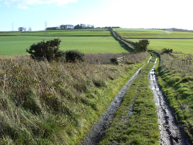
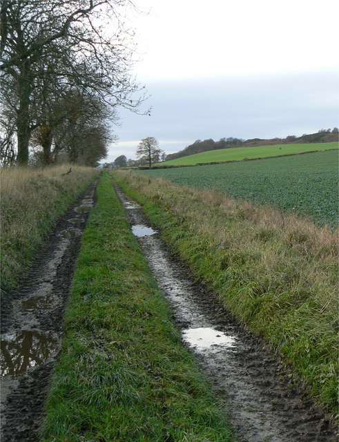
Cluny Muir offers a network of well-maintained paths that wind their way through the wood, allowing visitors to explore its beauty at their own pace. These trails cater to all ages and fitness levels, making it accessible for families, casual walkers, and seasoned hikers. Along the paths, visitors can enjoy the tranquility of the forest while listening to the soothing sounds of birdsong and the rustling of leaves underfoot.

The wood also features a designated picnic area, where visitors can relax and enjoy a meal amidst the natural surroundings. Additionally, there are several benches scattered throughout the wood, providing opportunities for rest and contemplation.

Cluny Muir is easily accessible, with ample parking available for visitors. The wood is open year-round, allowing visitors to experience its ever-changing beauty throughout the seasons. Whether it's a leisurely stroll, a family outing, or a chance to connect with nature, Cluny Muir offers a peaceful and rejuvenating experience for all.

If you have any feedback on the listing, please let us know in the comments section below.
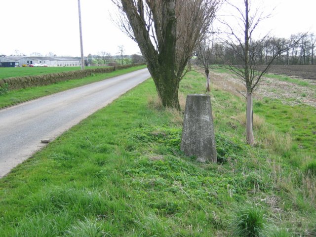
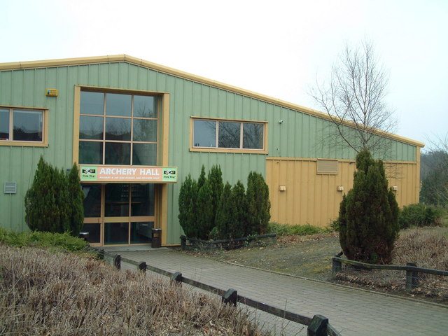
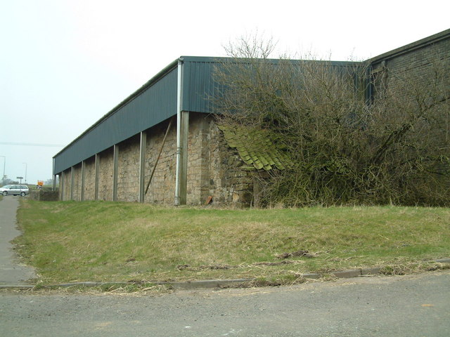
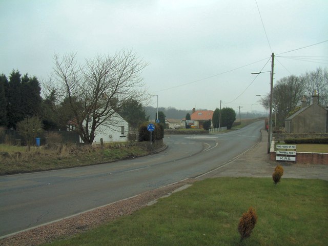
Cluny Muir Images

Images are sourced within 2km of 56.156728/-3.2121262 or Grid Reference NT2496. Thanks to Geograph Open Source API. All images are credited.

Strathore trig pillar Strathore is flat and low lying. Land use is divided between farming and the remains of the coal industry. The pillar is beside a private drive running across arable land.
Strathore trig pillar
Strathore is flat and low lying. Land use is divided between farming and the remains of the coal industry. The pillar is beside a private drive running across arable land.
Cluny Clays Archery Hall Archery (indoors and outdoors) is only one of the many activities available at Cluny Clays. There's a golf course, shooting, restaurant etc too.
Cluny Clays Archery Hall
Archery (indoors and outdoors) is only one of the many activities available at Cluny Clays. There's a golf course, shooting, restaurant etc too.
Dothan Farm Viewed from the north
Dothan Farm
Viewed from the north
Clunie roundabout Mini roundabout at Clunie road junction, viewed from the south
Clunie roundabout
Mini roundabout at Clunie road junction, viewed from the south
The Begg Farm OCCS Looking east from near Dothan Farm, The Begg Farm is not really a farm anymore but an open cast coal pit.  <span class="nowrap"><a title="http://www.ihbrown.com/CoalMining.aspx" rel="nofollow ugc noopener" href="http://www.ihbrown.com/CoalMining.aspx">Link</a><img style="margin-left:2px;" alt="External link" title="External link - shift click to open in new window" src="https://s1.geograph.org.uk/img/external.png" width="10" height="10"/></span>
The Begg Farm OCCS
Looking east from near Dothan Farm, The Begg Farm is not really a farm anymore but an open cast coal pit. LinkExternal link
Bridge across the River Ore Railway bridge carrying the link from Cardenden to Thornton over the fast flowing Ore. A three span bridge. The span on the left is a tunnel to allow access for vehicles to Fosserton.
Bridge across the River Ore
Railway bridge carrying the link from Cardenden to Thornton over the fast flowing Ore. A three span bridge. The span on the left is a tunnel to allow access for vehicles to Fosserton.
Goon Tower A lofted Trap to get those clays out and up high.  Nothing moves in these woods. If it does it is shot.  Littered with orange painted pieces of clay, the upper class twits, and sometimes even the likes of me, can be heard ... "Puuuuuwwwwlllll"
Goon Tower
A lofted Trap to get those clays out and up high. Nothing moves in these woods. If it does it is shot. Littered with orange painted pieces of clay, the upper class twits, and sometimes even the likes of me, can be heard ... "Puuuuuwwwwlllll"
Farmland Looking towards Fosterton Farm
Farmland
Looking towards Fosterton Farm
Rough Park Plantation The B981 to Kirkcaldy is in the foreground.
Rough Park Plantation
The B981 to Kirkcaldy is in the foreground.
The muddy road to Pitlochie Farm track just south of the railway bridge.
The muddy road to Pitlochie
Farm track just south of the railway bridge.
Pitlochie Farm Isolated farm, south of Kinglassie.
Pitlochie Farm
Isolated farm, south of Kinglassie.
Cluny Mains The barn at Cluny Mains is the home of Elite Falconry. This shows some of the falcons enjoying the November sunshine outside.
Cluny Mains
The barn at Cluny Mains is the home of Elite Falconry. This shows some of the falcons enjoying the November sunshine outside.
Once a hospital These buildings were built as an isolation hospital (serving mainly patients with diphtheria, scarlet fever, meningitis etc); later one building was used as a hotel but now the whole place seems to have been abandoned.
Once a hospital
These buildings were built as an isolation hospital (serving mainly patients with diphtheria, scarlet fever, meningitis etc); later one building was used as a hotel but now the whole place seems to have been abandoned.
Derelict building These buildings were built as part of an isolation hospital (serving mainly patients with diphtheria, scarlet fever, meningitis etc); later one building was used as a hotel but now the whole place seems to have been abandoned.
Derelict building
These buildings were built as part of an isolation hospital (serving mainly patients with diphtheria, scarlet fever, meningitis etc); later one building was used as a hotel but now the whole place seems to have been abandoned.
Birchwood railway sidings Used now it seems, mainly for coal traffic.
Birchwood railway sidings
Used now it seems, mainly for coal traffic.
Spray plant Lineside equipment for spraying wagons loaded with coal.
Spray plant
Lineside equipment for spraying wagons loaded with coal.
Inchdairniemuir Plantation A dry-stane dyke marks the western boundary of this piece of woodland.
Inchdairniemuir Plantation
A dry-stane dyke marks the western boundary of this piece of woodland.
Track to Dogton Used, it appears, more by tractors than by cars (other than 4x4s).
Track to Dogton
Used, it appears, more by tractors than by cars (other than 4x4s).
Show me another place!

Cluny Muir is located at Grid Ref: NT2496 (Lat: 56.156728, Lng: -3.2121262)

Unitary Authority: Fife

Police Authority: Fife

What 3 Words

///recording.matchbox.courier. Near Kinglassie, Fife

Nearby Locations

Cluny Muir

Related Wikis

Kinglassie

Kinglassie (Scottish Gaelic: Cill Ghlaise) is a small village and parish in central Fife, Scotland. It is located two miles southwest of Glenrothes. It...

Fife Airport

Fife Airport (ICAO: EGPJ) (Scottish Gaelic: Port-adhair Fìobha) is an unlicensed aerodrome located 2 nautical miles (3.7 km; 2.3 mi) west of Glenrothes...

Cardenden railway station

Cardenden railway station is a railway station in Cardenden, Fife, Scotland. The station is managed by ScotRail and is on the Fife Circle Line, 27 miles...

Thornton Junction TMD

Thornton Junction TMD was a traction maintenance depot located in Thornton, Fife, Scotland. The depot is situated on the Fife Circle Line and was near...

Cardenden

Cardenden ( ) is a Scottish town located on the south bank of the River Ore in the parish of Auchterderran, Fife. It is approximately 4 miles (6.4 km)...

Dundonald Bluebell F.C.

Dundonald Bluebell Football Club are a Scottish football club based in Cardenden, Fife. The team plays in the East of Scotland League Premier Division...

Kirkcaldy High School

Kirkcaldy High School is a 6-year co-educational comprehensive state school in Kirkcaldy, Fife, Scotland. == History == The school was established in 1582...

Auchterderran

Auchterderran () is a village in Fife, Scotland. It is sometimes thought as part of the larger village, Cardenden, although Cardenden is part of the parish...

Nearby Amenities

Located within 500m of 56.156728,-3.2121262
Railway: switch
Lat/Long: 56.1560496/-3.2089663
Railway: switch
Lat/Long: 56.1555171/-3.2098853
Power: tower
Lat/Long: 56.1593287/-3.211052
Power: tower
Lat/Long: 56.1582871/-3.2068742
Power: tower
Lat/Long: 56.1603198/-3.215027
Railway: switch
Lat/Long: 56.1551885/-3.2105274
Railway: switch
Lat/Long: 56.154856/-3.2111198
Clunybridge Junction
Railway: junction
Lat/Long: 56.1555051/-3.2098638
Power: pole
Lat/Long: 56.1593451/-3.2073408
Power: pole
Lat/Long: 56.1596244/-3.2062226
Railway: signal
Railway Signal Direction: backward
Railway Signal Main: GB-NR:main
Ref: ET767
Lat/Long: 56.1533388/-3.2144863
Railway: signal
Railway Signal Direction: backward
Railway Signal Shunting: GB-NR:shunting
Ref: ET947
Lat/Long: 56.1547189/-3.2113862
Railway: signal
Railway Signal Direction: forward
Railway Signal Main: GB-NR:main
Ref: ET772
Lat/Long: 56.1566732/-3.2073806
Railway: signal
Railway Signal Direction: forward
Railway Signal Main: GB-NR:main
Ref: ET774
Lat/Long: 56.1567055/-3.2074239
Railway: signal
Railway Signal Direction: backward
Railway Signal Main: GB-NR:main
Ref: ET768
Lat/Long: 56.1567679/-3.2076042
The data included in this document is from www.openstreetmap.org. The data is made available under ODbL.

Have you been to Cluny Muir?

Leave your review of Cluny Muir below (or comments, questions and feedback).