Cluny Strip
Wood, Forest in Fife
Scotland
Cluny Strip
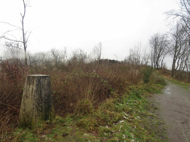
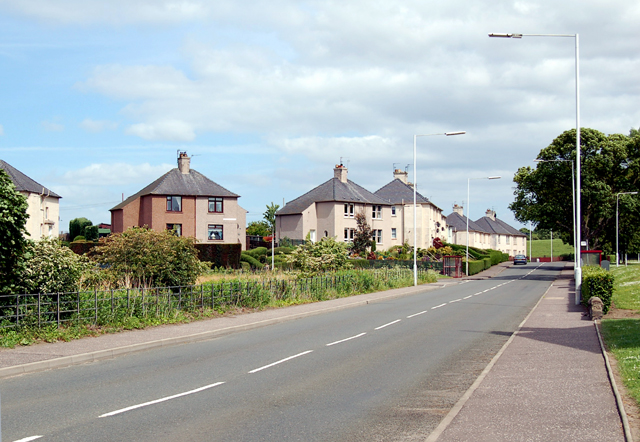
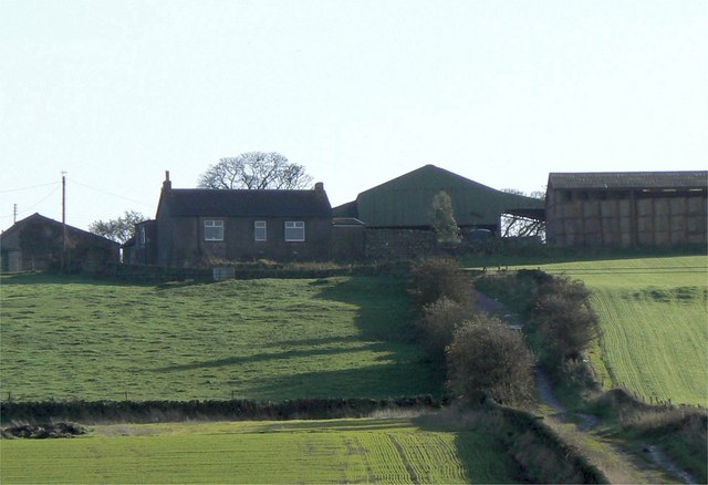
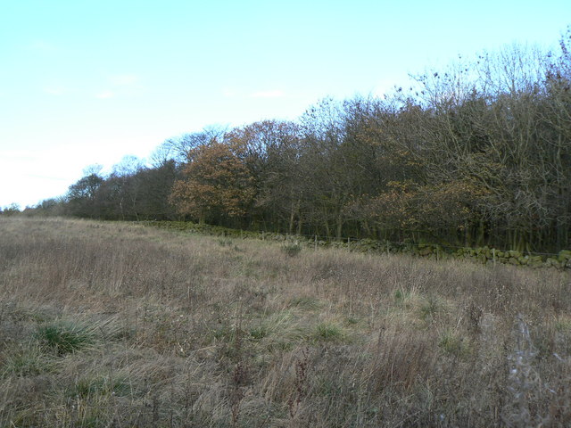
Cluny Strip is a picturesque woodland area located in Fife, Scotland. Situated near the village of Cluny, this strip of forest is a popular destination for nature enthusiasts and those seeking a peaceful retreat.
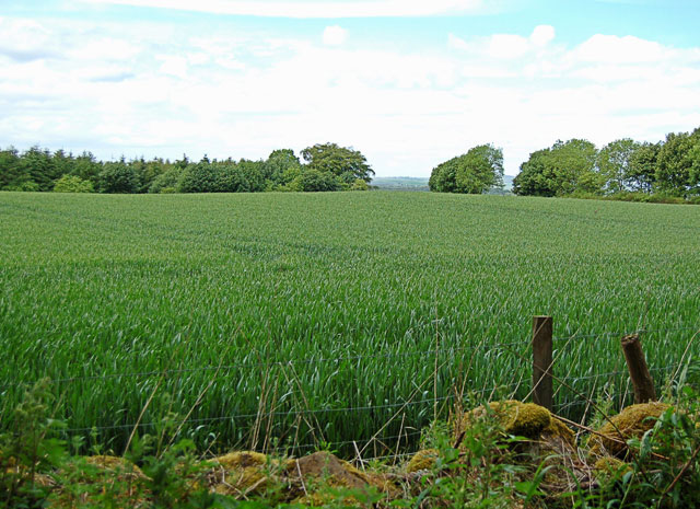
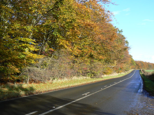
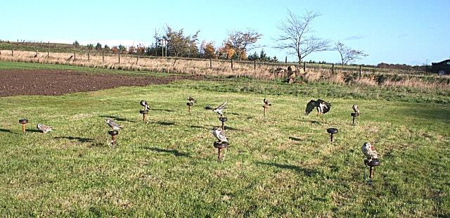
The woodland in Cluny Strip is characterized by a diverse range of tree species, including oak, beech, and birch. These trees create a dense canopy that provides shade and shelter for a variety of wildlife. Birds such as woodpeckers, owls, and songbirds are commonly spotted here, while small mammals like squirrels and rabbits can also be found scurrying through the undergrowth.
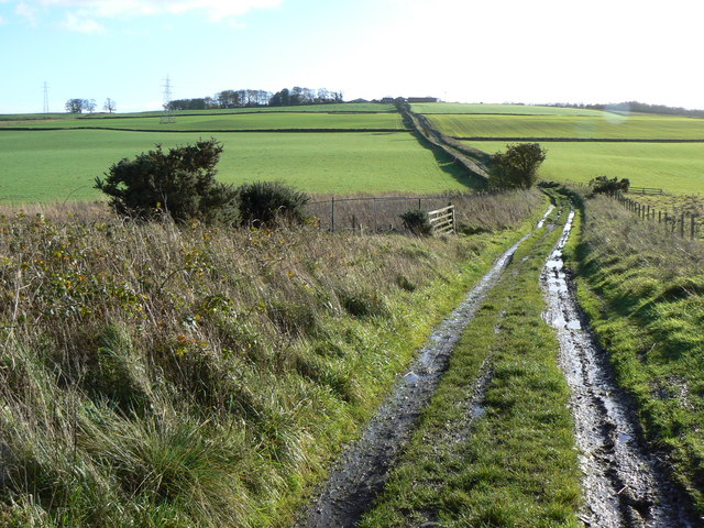
Tranquil walking trails wind their way through the forest, allowing visitors to explore the beauty of Cluny Strip at their own pace. The paths are well-maintained and signposted, making it easy for visitors to navigate their way through the woodland. Along the way, benches and picnic areas provide opportunities for rest and relaxation.
One of the highlights of Cluny Strip is the Cluny House Gardens, which are situated within the woodland. These stunning gardens boast a wide array of plants and flowers, including rhododendrons, azaleas, and magnolias. The gardens are meticulously maintained and offer a tranquil and serene atmosphere for visitors to enjoy.
Cluny Strip is not only a haven for nature lovers but also a valuable ecosystem that provides vital habitats for numerous species. Its accessibility, well-maintained trails, and beautiful gardens make it a popular destination for individuals and families looking to immerse themselves in the beauty of nature.
If you have any feedback on the listing, please let us know in the comments section below.
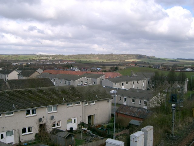
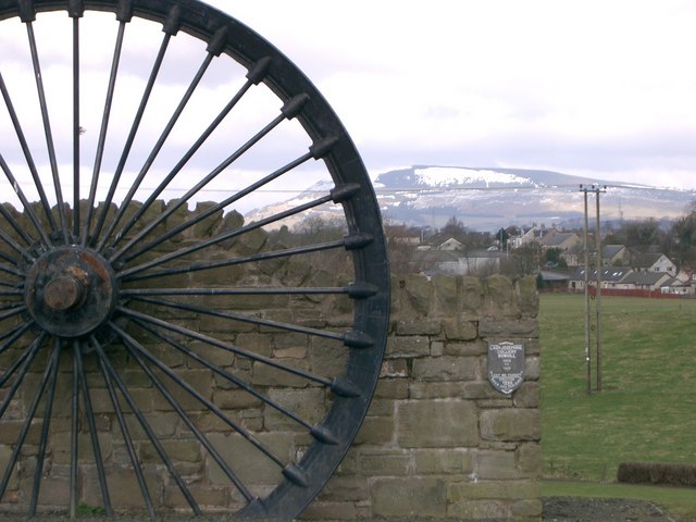
Cluny Strip Images
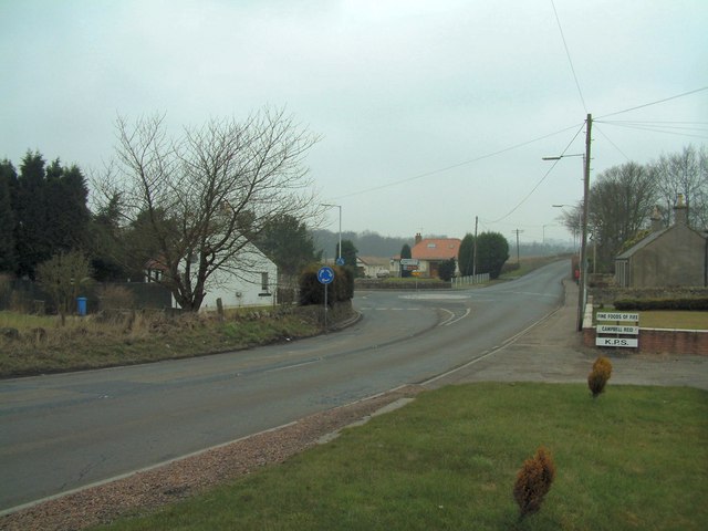
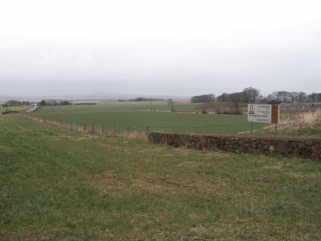
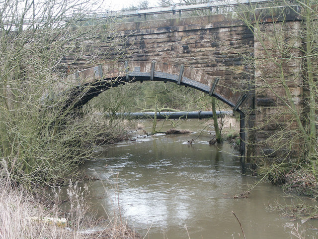
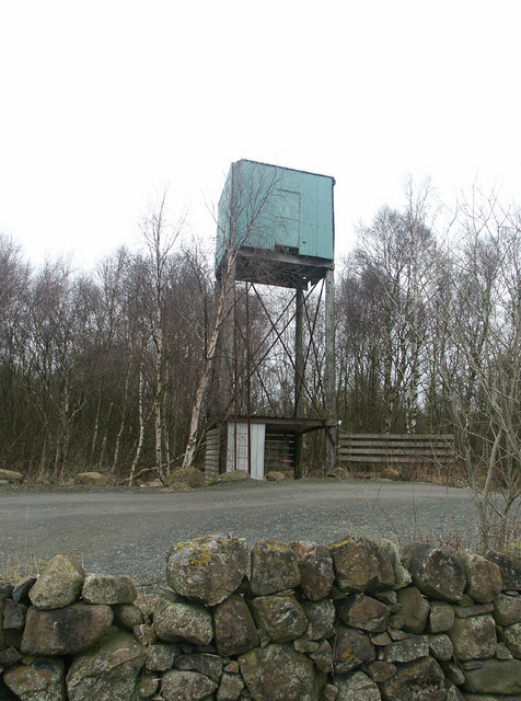
Images are sourced within 2km of 56.151292/-3.2285035 or Grid Reference NT2396. Thanks to Geograph Open Source API. All images are credited.

Cluny Strip is located at Grid Ref: NT2396 (Lat: 56.151292, Lng: -3.2285035)
Unitary Authority: Fife
Police Authority: Fife
What 3 Words
///whisk.otherwise.dressy. Near Cardenden, Fife
Nearby Locations
Related Wikis

Kinglassie
Kinglassie (Scottish Gaelic: Cill Ghlaise) is a small village and parish in central Fife, Scotland. It is located two miles southwest of Glenrothes. It...

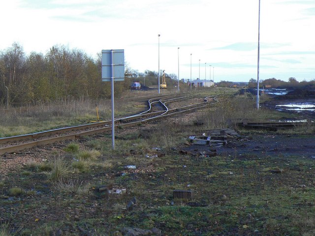
Cardenden railway station
Cardenden railway station is a railway station in Cardenden, Fife, Scotland. The station is managed by ScotRail and is on the Fife Circle Line, 27 miles...
Cardenden
Cardenden ( ) is a Scottish town located on the south bank of the River Ore in the parish of Auchterderran, Fife. It is approximately 4 miles (6.4 km)...

Dundonald Bluebell F.C.
Dundonald Bluebell Football Club are a Scottish football club based in Cardenden, Fife. The team plays in the East of Scotland League Premier Division...
Auchterderran
Auchterderran () is a village in Fife, Scotland. It is sometimes thought as part of the larger village, Cardenden, although Cardenden is part of the parish...
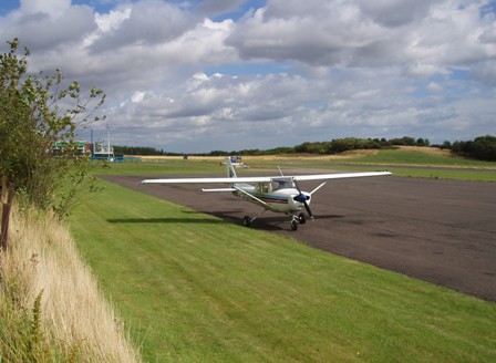
Fife Airport
Fife Airport (ICAO: EGPJ) (Scottish Gaelic: Port-adhair Fìobha) is an unlicensed aerodrome located 2 nautical miles (3.7 km; 2.3 mi) west of Glenrothes...
Driftland
Driftland is a purpose-built race track for drifting inspired by the drift tracks of Japan at the Lochgelly Motorsport Complex, Fife, Scotland. The facility...

A921 road
The A921 road is a road that connects Kirkcaldy with the M90 motorway in Fife, Scotland. Before 1990, the road was classed as the A92. == References ==
Nearby Amenities
Located within 500m of 56.151292,-3.2285035Have you been to Cluny Strip?
Leave your review of Cluny Strip below (or comments, questions and feedback).