Moss Wood
Wood, Forest in Dumfriesshire
Scotland
Moss Wood
Moss Wood, located in Dumfriesshire, Scotland, is a picturesque forest that stretches across a vast area of approximately 500 acres. This ancient woodland is known for its rich biodiversity and stunning natural beauty, attracting nature enthusiasts, hikers, and photographers from all over the world.
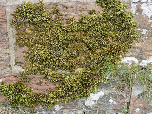
The woodland is primarily composed of dense, mature trees, including oak, beech, and birch, which provide a serene and tranquil atmosphere. The forest floor is covered with a thick carpet of moss, hence the name "Moss Wood," creating a lush and fairy-tale-like environment. The moss not only adds to the aesthetic appeal but also plays a crucial role in maintaining the forest's ecosystem by retaining moisture and providing a habitat for various species of insects and small animals.
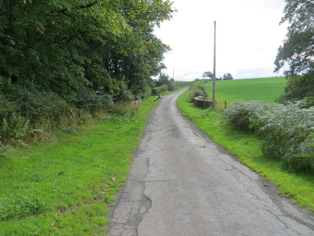
Visitors can explore Moss Wood through a network of well-maintained trails that wind through the forest, offering breathtaking views and glimpses of wildlife. The forest is home to a diverse range of flora and fauna, including rare bird species like the red kite and buzzard, as well as small mammals such as red squirrels and badgers. Nature lovers can also spot a variety of wildflowers, mushrooms, and ferns, adding to the enchanting ambiance.
Moss Wood is not only a haven for wildlife but also a popular recreational destination. It offers ample opportunities for outdoor activities such as hiking, birdwatching, and photography. Picnic areas and benches are scattered throughout the forest, allowing visitors to relax and soak in the tranquility of the surroundings.
Overall, Moss Wood in Dumfriesshire is a captivating forest that provides a unique and immersive experience for nature enthusiasts and those seeking solace in the beauty of the natural world.
If you have any feedback on the listing, please let us know in the comments section below.
Moss Wood Images
Images are sourced within 2km of 55.025707/-3.1946118 or Grid Reference NY2370. Thanks to Geograph Open Source API. All images are credited.


Moss Wood is located at Grid Ref: NY2370 (Lat: 55.025707, Lng: -3.1946118)
Unitary Authority: Dumfries and Galloway
Police Authority: Dumfries and Galloway
What 3 Words
///buzzards.stumpy.sulked. Near Eastriggs, Dumfries & Galloway
Nearby Locations
Related Wikis
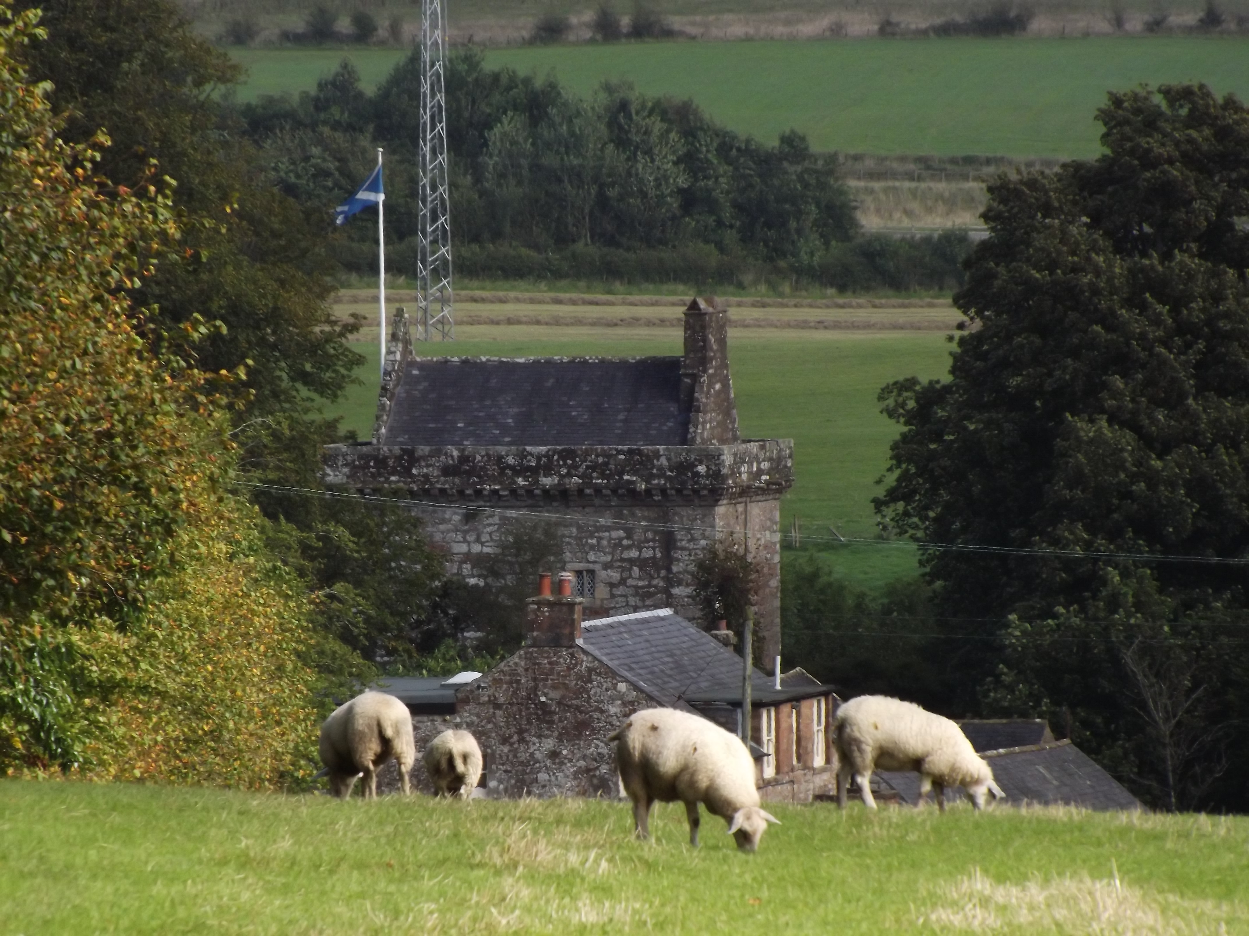
Bonshaw Tower
Bonshaw Tower is an oblong tower house, probably dating from the mid-16th century, one mile south of Kirtlebridge, Dumfries and Galloway, Scotland, above...
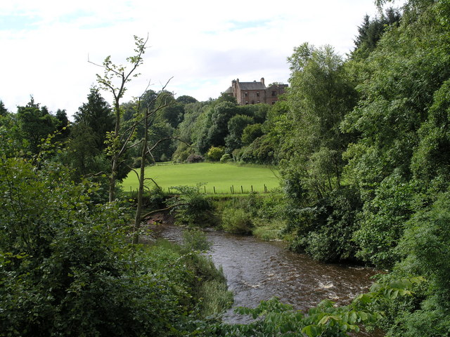
Robgill Tower
Robgill Tower is a tower house near Kirkpatrick Fleming on the banks of the river Kirtle. It was one of a number of towers built along the border as protection...

Kirtlebridge
Kirtlebridge is a village in Dumfries and Galloway, southern Scotland. It is located 8 kilometres (5.0 mi) north-east of Annan, 5 kilometres (3.1 mi) north...
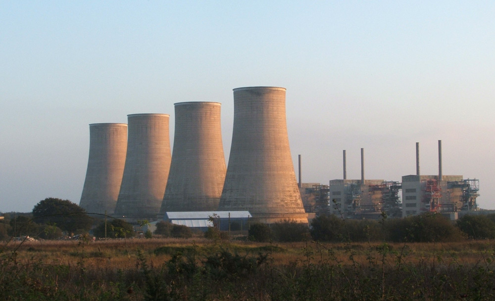
Chapelcross nuclear power station
Chapelcross nuclear power station is a former Magnox nuclear power station undergoing decommissioning. It is located in Annan in Dumfries and Galloway...
Have you been to Moss Wood?
Leave your review of Moss Wood below (or comments, questions and feedback).