Balgove Wood
Wood, Forest in Angus
Scotland
Balgove Wood
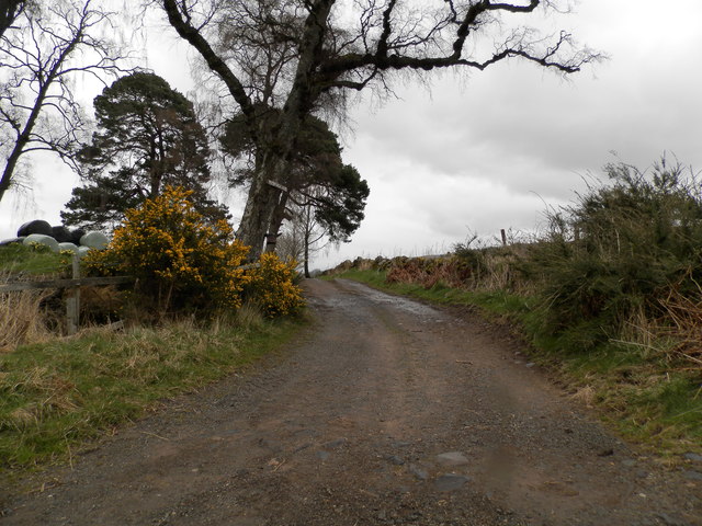
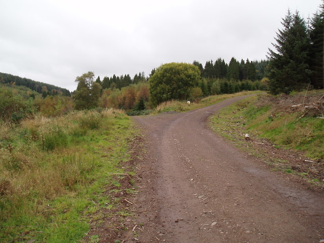
Balgove Wood is a stunning natural woodland located in the county of Angus, Scotland. Covering an area of approximately 100 acres, it is a diverse and thriving forest that offers visitors a peaceful and tranquil escape from the hustle and bustle of everyday life.
The wood is primarily composed of a mixture of broadleaf and coniferous trees, including oak, beech, birch, and pine. This creates a rich tapestry of colors throughout the year, with vibrant greens in the summer and stunning autumnal hues in the fall. The forest floor is carpeted with a variety of wildflowers, ferns, and mosses, adding to the enchanting atmosphere.
Balgove Wood is home to a wide range of wildlife, making it a haven for nature enthusiasts. Birdwatchers can spot a variety of species, including woodpeckers, owls, and various songbirds. Red squirrels and roe deer are frequently sighted, adding to the sense of wilderness and natural beauty.
For those looking to explore the wood, there are several well-maintained walking trails that wind through the forest. These paths offer visitors the opportunity to immerse themselves in the peaceful surroundings and discover hidden gems within the woodland, such as a picturesque pond and ancient stone walls.
Furthermore, Balgove Wood is also a popular destination for outdoor activities such as picnicking, photography, and nature study. The serene atmosphere and breathtaking scenery make it an ideal location for those seeking a peaceful retreat or a place to reconnect with nature.
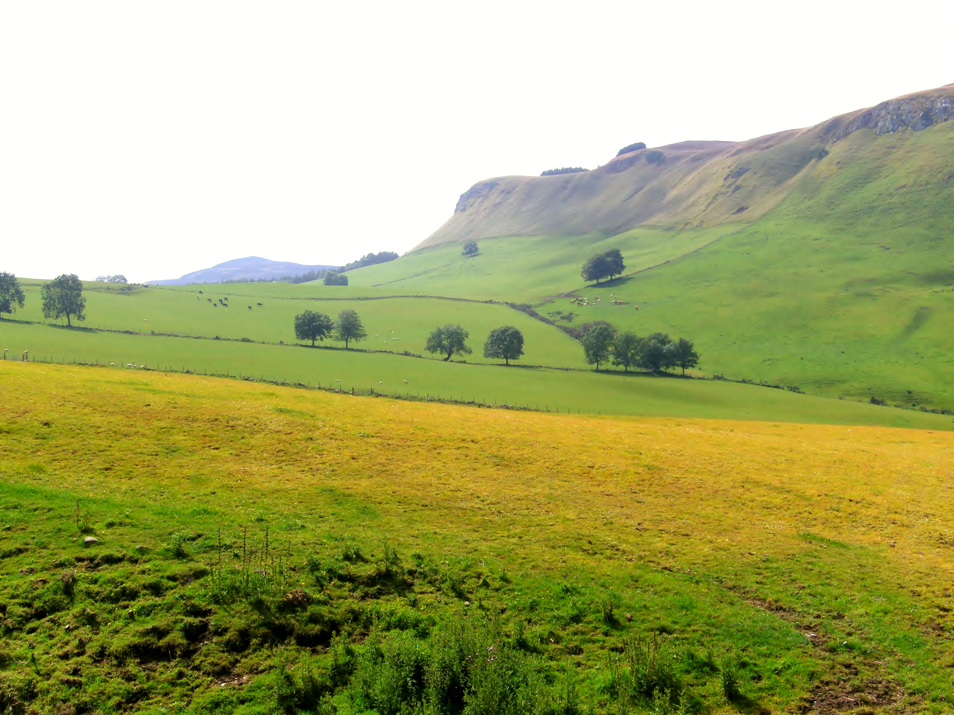
Overall, Balgove Wood is a truly magical place that showcases the beauty of Scotland's natural landscapes. With its diverse flora and fauna, well-maintained trails, and peaceful ambiance, it is a must-visit destination for nature lovers and those in search of tranquility.
If you have any feedback on the listing, please let us know in the comments section below.
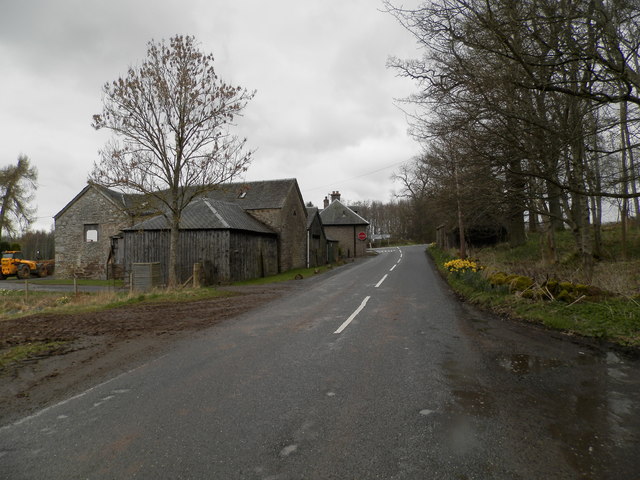
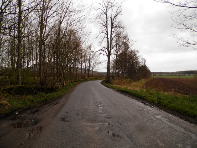
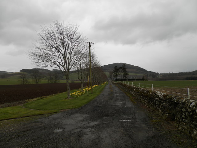
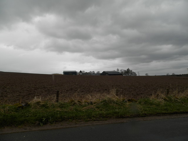
Balgove Wood Images
Images are sourced within 2km of 56.518469/-3.2414659 or Grid Reference NO2336. Thanks to Geograph Open Source API. All images are credited.


Balgove Wood is located at Grid Ref: NO2336 (Lat: 56.518469, Lng: -3.2414659)
Unitary Authority: Perth and Kinross
Police Authority: Tayside
What 3 Words
///vowel.handicaps.thuds. Near Coupar Angus, Perth & Kinross
Nearby Locations
Related Wikis

Pitcur
Pitcur is a hamlet at the eastern edge of Perth and Kinross, Scotland, about 2.5 miles (4.0 km) southeast of Coupar Angus.It is home to the ruined 16th...

Kettins
Kettins is a village in Perth and Kinross, Scotland about 14 miles (23 kilometres) northeast of Perth and 11 miles (18 kilometres) northwest of Dundee...

Campmuir
Campmuir () is a small village in the Perth and Kinross area of Scotland.Campmuir is located less than 1 mile (2 kilometres) south of the main A94 road...

Northballo Hill
Northballo Hill is one of the hills of the Sidlaw range in South East Perthshire, and is located near Coupar Angus. It is popular with dog walkers and...
Gask Hill
Gask Hill is one of the least climbed hills of the Sidlaw range in south east Perthshire, Scotland. Gask Hill is located near Coupar Angus and is seen...
Coupar Angus railway station
Coupar Angus railway station served the town of Coupar Angus, Perth and Kinross, Scotland from 1837 to 1967 on the Scottish Midland Junction Railway....

Coupar Angus Town Hall
Coupar Angus Town Hall is a municipal structure in Union Street in Coupar Angus, Perth and Kinross, Scotland. The structure, which is used as a community...
Coupar Angus
Coupar Angus ( ; Gaelic: Cùbar Aonghais) is a town in Perth and Kinross, Scotland, 4 miles (6 kilometres) south of Blairgowrie. The name Coupar Angus serves...
Nearby Amenities
Located within 500m of 56.518469,-3.2414659Have you been to Balgove Wood?
Leave your review of Balgove Wood below (or comments, questions and feedback).