Whin Wood
Wood, Forest in Peeblesshire
Scotland
Whin Wood
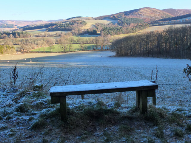
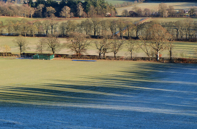
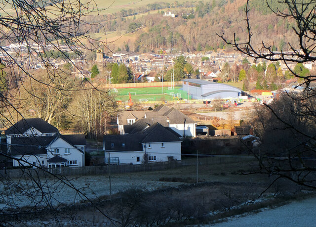
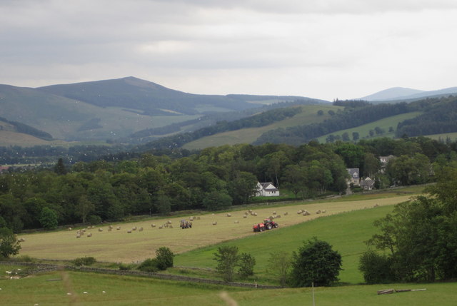
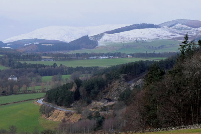
Whin Wood is a picturesque forest located in the region of Peeblesshire, Scotland. Covering an area of approximately 100 hectares, this enchanting woodland is a popular destination for nature enthusiasts and outdoor adventurers alike.
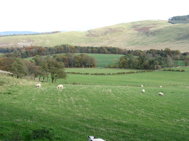
The wood is predominantly composed of a diverse mixture of broadleaf and coniferous trees, including oak, beech, birch, and spruce. These towering trees create a dense canopy, casting dappled sunlight on the forest floor below. The woodland is also adorned with an array of vibrant wildflowers during the spring and summer months, adding a burst of color to the surroundings.
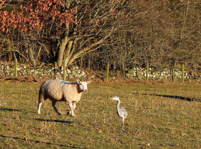
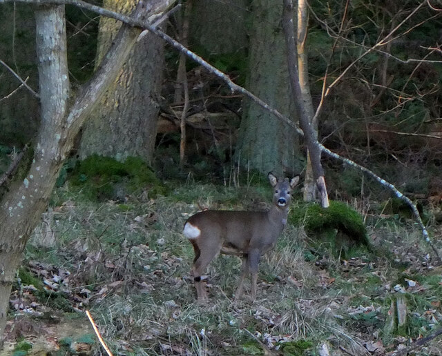
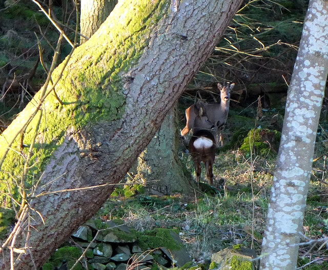
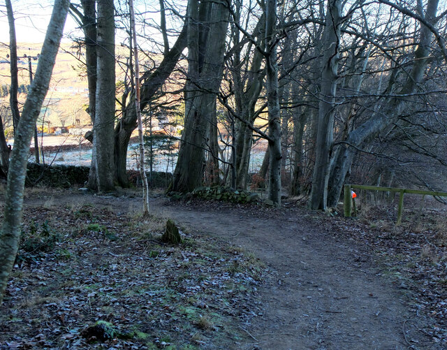
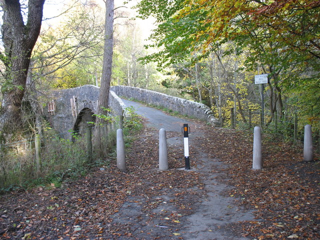
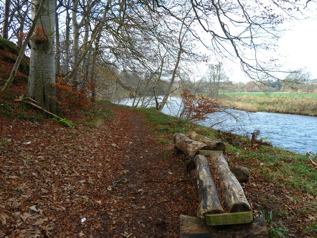
Tranquil walking trails meander through the wood, offering visitors the opportunity to immerse themselves in its natural beauty. These paths wind their way around the forest, leading explorers through a variety of landscapes, from open clearings to shady glens. Along the way, walkers may encounter an abundance of wildlife, including red squirrels, deer, and a wide variety of bird species.
Whin Wood is also home to a small, secluded loch, adding to its allure. The still waters reflect the surrounding trees, creating a serene and idyllic setting. Visitors can enjoy a leisurely stroll along the loch's shore or simply sit and take in the peaceful ambiance.
With its stunning scenery, diverse flora and fauna, and tranquil atmosphere, Whin Wood is a true gem in the Peeblesshire region. Whether one is seeking a peaceful retreat or an opportunity for outdoor exploration, this enchanting woodland offers something for everyone.
If you have any feedback on the listing, please let us know in the comments section below.
Whin Wood Images
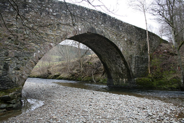
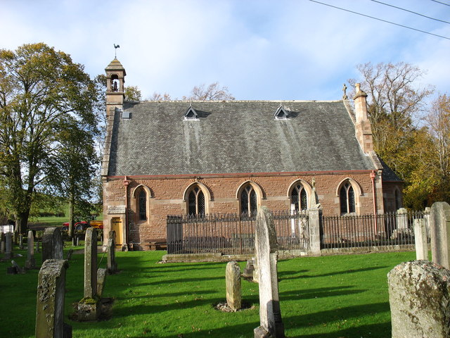
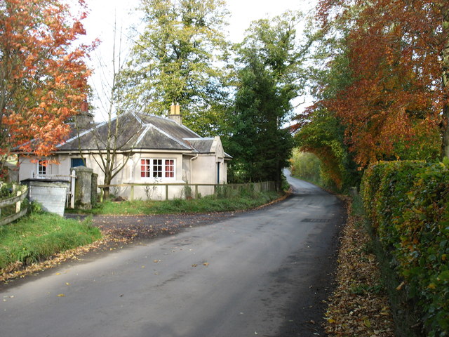
Images are sourced within 2km of 55.641371/-3.2201165 or Grid Reference NT2339. Thanks to Geograph Open Source API. All images are credited.

Whin Wood is located at Grid Ref: NT2339 (Lat: 55.641371, Lng: -3.2201165)
Unitary Authority: The Scottish Borders
Police Authority: The Lothians and Scottish Borders
What 3 Words
///awakening.title.petrified. Near Peebles, Scottish Borders
Nearby Locations
Related Wikis

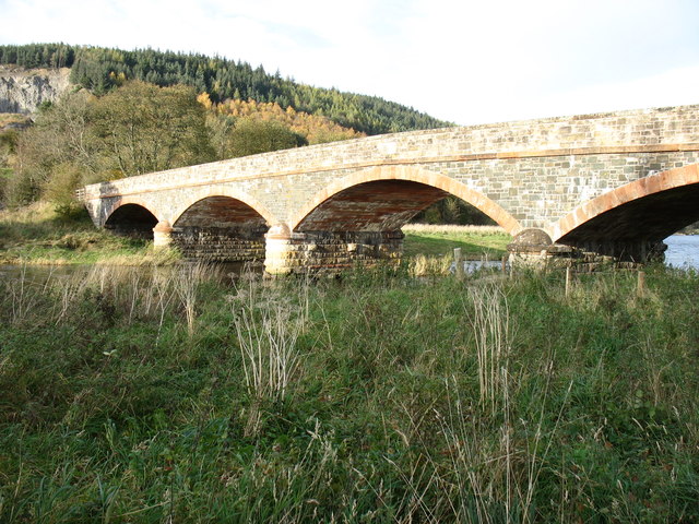
Neidpath Viaduct
Neidpath Viaduct, occasionally known as the Queen's Bridge, consists of eight stone skew arches and was built to carry the Symington to Peebles branch...

John Buchan Way
The John Buchan Way is a walking route from Peebles to Broughton in the Scottish Borders, a distance of approximately 22 km (13 miles). The route is waymarked...

Neidpath Castle
Neidpath Castle is an L-plan rubble-built tower house, overlooking the River Tweed about 1 mile (1.6 km) west of Peebles in the Borders of Scotland. The...

Manor Water
Manor Water is a river in the parish of Manor, Peeblesshire in the Scottish Borders. It rises in the Ettrick Forest and flows down through the Maynor valley...
Nearby Amenities
Located within 500m of 55.641371,-3.2201165Have you been to Whin Wood?
Leave your review of Whin Wood below (or comments, questions and feedback).