Chancefield Wood
Wood, Forest in Fife
Scotland
Chancefield Wood

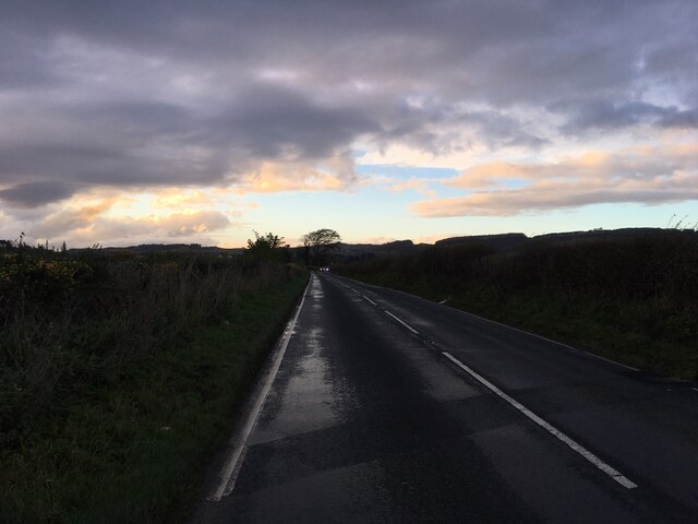
Chancefield Wood is a picturesque forest located in Fife, Scotland. Covering an area of approximately 100 hectares, this enchanting woodland is a haven for nature lovers and outdoor enthusiasts alike. The wood is situated just a few miles south of the town of Cupar and is easily accessible to visitors.
The forest is predominantly composed of native broadleaf trees, including oak, birch, and beech, which create a stunning canopy that stretches across the rolling landscape. The wood is also home to a diverse range of plant species, including bluebells and wild garlic, which create a vibrant and colorful display during the spring months.
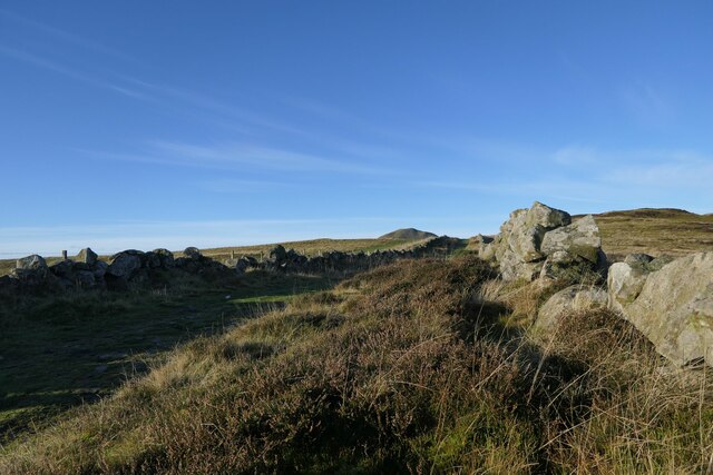
Walking through Chancefield Wood, visitors can explore a network of well-maintained trails that wind through the trees, offering breathtaking views of the surrounding countryside. The paths cater to all levels of fitness and are suitable for both casual strolls and more challenging hikes. Along the way, visitors may encounter various wildlife species such as red squirrels, roe deer, and a wide variety of birdlife.
The wood is not only a tranquil escape for nature enthusiasts but also serves as an important ecological site. It provides a vital habitat for many species, helping to maintain biodiversity in the area. The local council, in collaboration with environmental organizations, has implemented conservation measures to protect and preserve the woodland ecosystem.
Chancefield Wood offers a perfect retreat from the hustle and bustle of everyday life, providing visitors with an opportunity to immerse themselves in the beauty of nature and enjoy the peace and serenity of this remarkable forest.
If you have any feedback on the listing, please let us know in the comments section below.
Chancefield Wood Images
Images are sourced within 2km of 56.26034/-3.2407457 or Grid Reference NO2308. Thanks to Geograph Open Source API. All images are credited.


Chancefield Wood is located at Grid Ref: NO2308 (Lat: 56.26034, Lng: -3.2407457)
Unitary Authority: Fife
Police Authority: Fife
What 3 Words
///written.exporters.leads. Near Falkland, Fife
Nearby Locations
Related Wikis

Brunton House, Falkland
Brunton House is a Category A listed building in the village of Falkland in Fife, Scotland. It was formerly the residence of the hereditary falconers to...

Falkland Town Hall
Falkland Town Hall is a municipal building in the High Street, Falkland, Fife, Scotland. The structure, which has been converted for use as offices and...
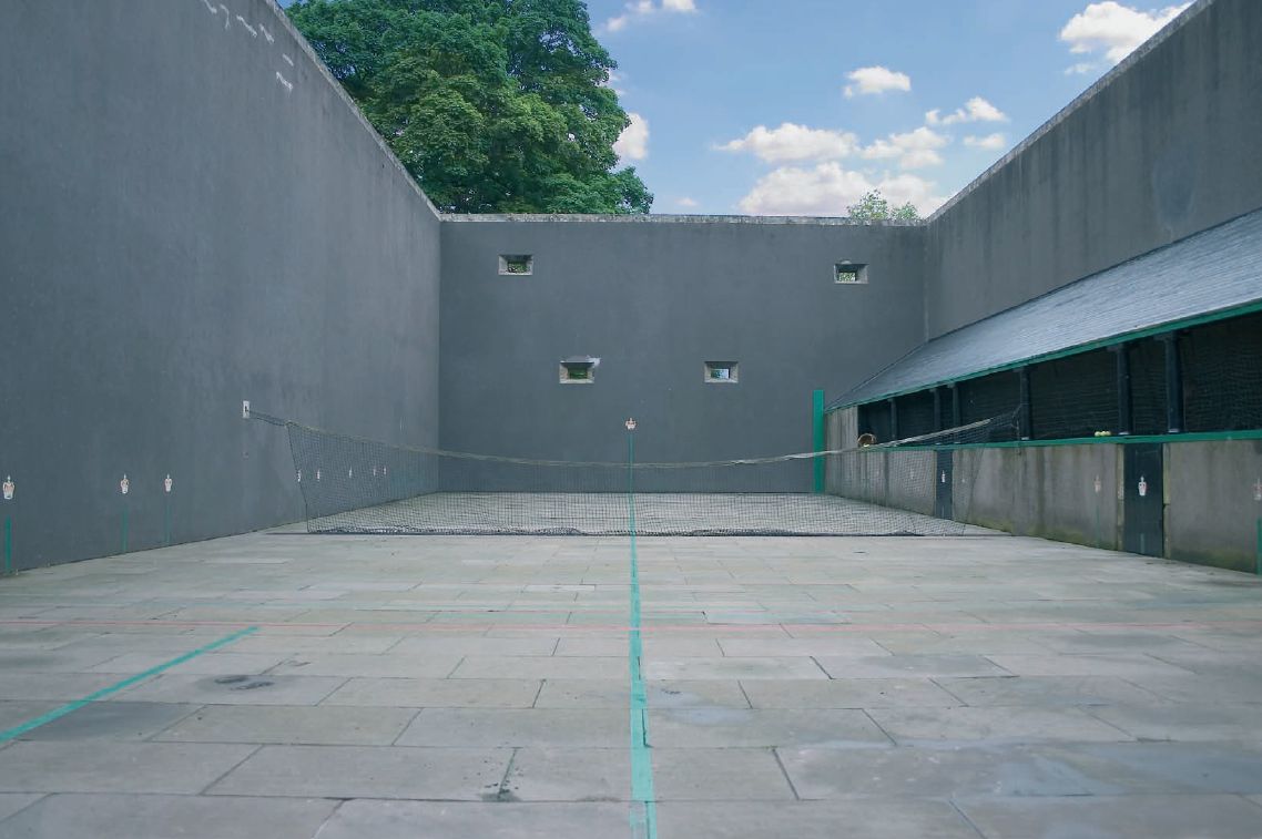
Falkland Palace Royal Tennis Club
The Falkland Palace Royal Tennis Club (also previously called the Falkland Palace Real Tennis Club) organizes play at the real tennis court in the gardens...
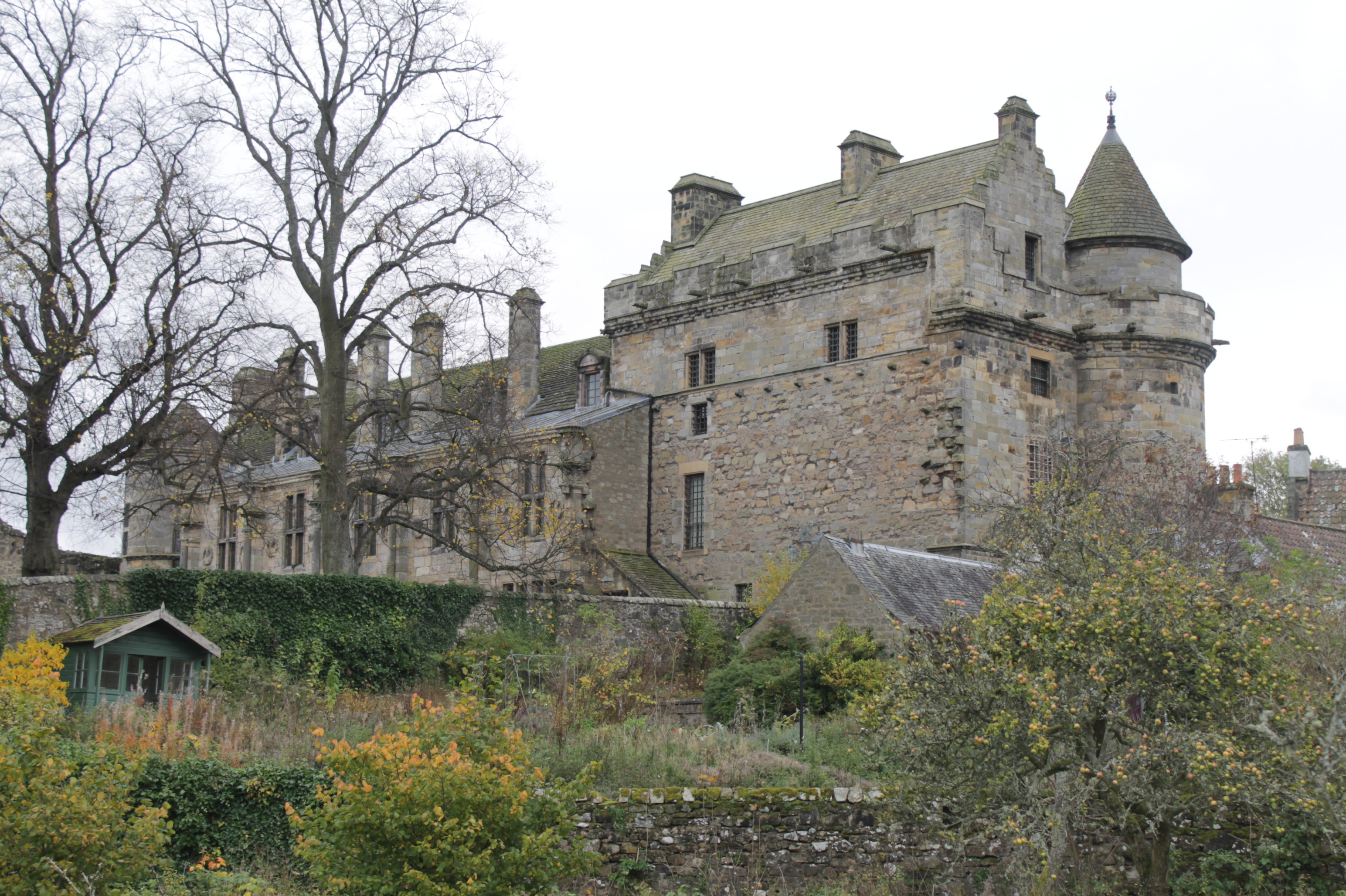
Falkland Palace
Falkland Palace, in Falkland, Fife, Scotland, is a royal palace of the Scottish Kings. It was one of the favourite places of Mary, Queen of Scots, providing...
Related Videos

A Vacation Within Our Vacation | Falkland, Scotland: Palace, Outlander Filming Locations
Falkland is one of the most charming places we've visited in Scotland. A beautiful castle, gorgeous architecture and plenty of ...

Falkland, Fife Walking Tour | Outlander Filming Locations | Scotland in 4K
Falkland is a picturesque town in Fife, famous for its royal palace. Falkland nestles between the two Lomond Hills in the Howe of ...

Maspie Den
First Video of 2022 Maspie Den, Falkland Extreme Hot Day for Scotland 29 °C A steady accenting walk up a narrow glen, taking ...

We will take you up the hills...and further.
A wee walk up a cloudy hill...come with The Wee Scottish Touring Company for a fun filled day out in Scotand. Add us to your ...
Nearby Amenities
Located within 500m of 56.26034,-3.2407457Have you been to Chancefield Wood?
Leave your review of Chancefield Wood below (or comments, questions and feedback).