Cathpair
Settlement in Midlothian
Scotland
Cathpair

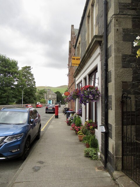
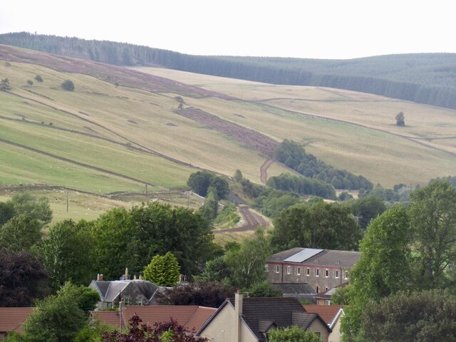
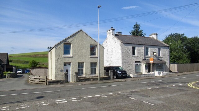
Cathpair is a small village located in the Midlothian region of Scotland. Situated approximately 10 miles south of Edinburgh, it is nestled amongst picturesque countryside and offers a tranquil setting for its residents. The village is known for its rich history and charming atmosphere.
Cathpair is home to a population of around 500 residents, making it a tight-knit community where neighbors often know one another. The village primarily consists of traditional stone-built houses and cottages, giving it a distinct rural character. The surrounding landscape is dotted with lush green fields and rolling hills, providing breathtaking views.
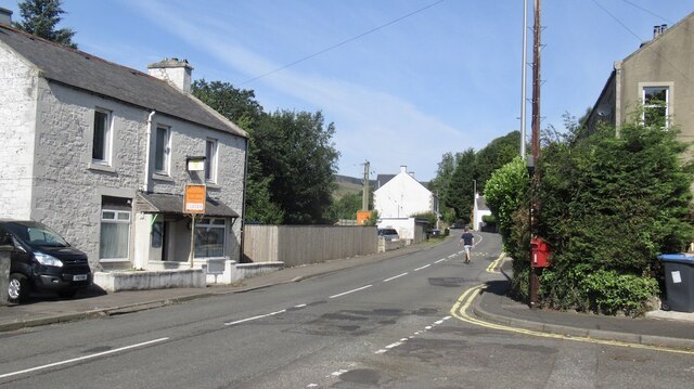
Despite its small size, Cathpair offers a range of amenities and services to its residents. These include a local convenience store, a post office, and a community center which hosts various activities and events throughout the year. The village also has a primary school, ensuring that families with young children have access to education within close proximity.
For those who enjoy outdoor activities, Cathpair is an ideal location. The nearby Pentland Hills Regional Park offers ample opportunities for hiking, cycling, and wildlife spotting. Additionally, the village is within easy reach of several golf courses and country parks, providing residents with plenty of options for recreation.
Transport links are well-established in Cathpair, with regular bus services connecting the village to nearby towns and cities. The proximity to Edinburgh also allows for easy access to a wider range of amenities, including shopping centers, restaurants, and cultural attractions.
Overall, Cathpair offers a peaceful and picturesque setting for its residents, with a strong sense of community and access to a range of amenities and outdoor activities.
If you have any feedback on the listing, please let us know in the comments section below.
Cathpair Images
Images are sourced within 2km of 55.704424/-2.860836 or Grid Reference NT4646. Thanks to Geograph Open Source API. All images are credited.


Cathpair is located at Grid Ref: NT4646 (Lat: 55.704424, Lng: -2.860836)
Unitary Authority: The Scottish Borders
Police Authority: The Lothians and Scottish Borders
What 3 Words
///squares.landowner.incline. Near Lauder, Scottish Borders
Nearby Locations
Related Wikis

Stow of Wedale
Stow of Wedale, or more often Stow, is a village in the Scottish Borders area of Scotland (historically Midlothian), 7 miles (11 kilometres) north of...

Stow of Wedale Town Hall
Stow of Wedale Town Hall is a municipal building in Earlston Road, Stow of Wedale, Scottish Borders, Scotland. The structure, which serves as a community...
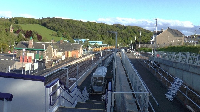
Stow railway station
Stow is a railway station on the Borders Railway, which runs between Edinburgh Waverley and Tweedbank. The station, situated 26 miles 45 chains (43 km...

Allanshaugh
Allanshaugh is a fermtoun in the Scottish Borders area of Scotland. == See also == List of places in the Scottish Borders List of places in Scotland...
Nearby Amenities
Located within 500m of 55.704424,-2.860836Have you been to Cathpair?
Leave your review of Cathpair below (or comments, questions and feedback).