Hill West Wood

Wood, Forest in Perthshire

Scotland

Hill West Wood

The Silvery Tay On the track from Glenduckie to Newburgh, looking West. Newburgh is on the left, in the bend of the River Tay. Mid-November and lots of snow on the hills. Ben Vorlich and the hills around Glen Artney are visible in the distance.
The Silvery Tay Credit: David

The requested URL returned error: 429 Too Many Requests

If you have any feedback on the listing, please let us know in the comments section below.

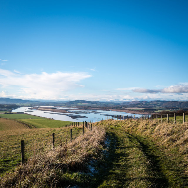
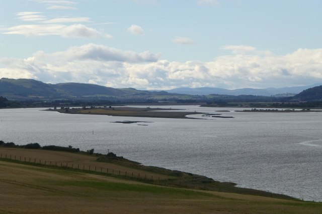
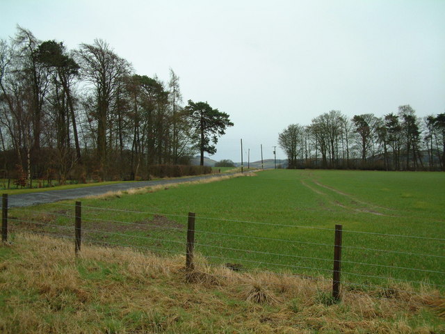
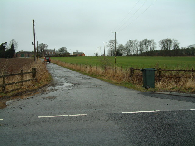
Hill West Wood Images

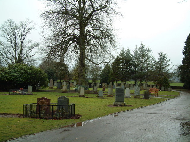
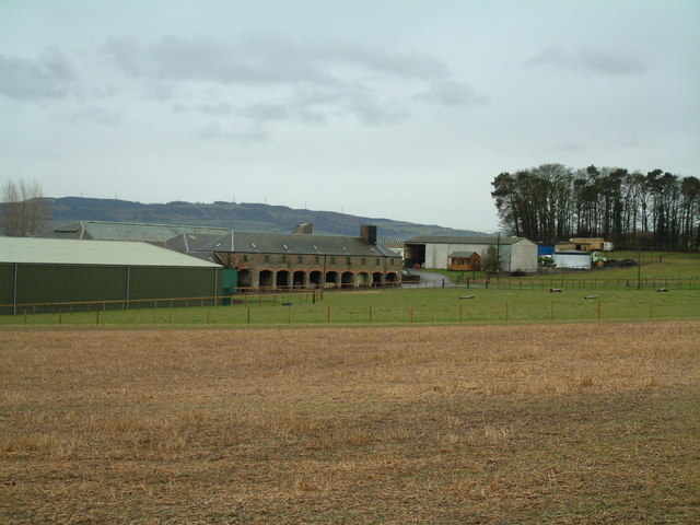
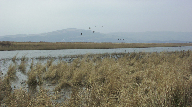
Images are sourced within 2km of 56.374677/-3.2556324 or Grid Reference NO2220. Thanks to Geograph Open Source API. All images are credited.

The Silvery Tay On the track from Glenduckie to Newburgh, looking West. Newburgh is on the left, in the bend of the River Tay. Mid-November and lots of snow on the hills. Ben Vorlich and the hills around Glen Artney are visible in the distance.
The Silvery Tay
On the track from Glenduckie to Newburgh, looking West. Newburgh is on the left, in the bend of the River Tay. Mid-November and lots of snow on the hills. Ben Vorlich and the hills around Glen Artney are visible in the distance.
Mugdrum Island  In the River Tay north of Newburgh.
Mugdrum Island
In the River Tay north of Newburgh.
Agriculture in Leetown The field containing this machinery store is occupied by a few sheep. Looking northwards across Glencarse.
Agriculture in Leetown
The field containing this machinery store is occupied by a few sheep. Looking northwards across Glencarse.
Track in Carse of Gowrie Looking south towards Paddockmuir Wood, backed by the hills above Newburgh on the opposite bank of the Tay.
Track in Carse of Gowrie
Looking south towards Paddockmuir Wood, backed by the hills above Newburgh on the opposite bank of the Tay.
Pump This fine pump stands outside a farm on the edge of Leetown.
Pump
This fine pump stands outside a farm on the edge of Leetown.
Farm sale A displenish sale at Gallowflat Farm.
Farm sale
A displenish sale at Gallowflat Farm.
Gallowflat Farm Seen from the south.
Gallowflat Farm
Seen from the south.
Hill of Errol Farm Road Level farm road leading to the rather perversely named farm on the virtually billiard-table flat alluvial plain of the River Tay
Hill of Errol Farm Road
Level farm road leading to the rather perversely named farm on the virtually billiard-table flat alluvial plain of the River Tay
Track by the wood Track leading north along the west side of Murie wood
Track by the wood
Track leading north along the west side of Murie wood
Crossroads by Ardgaith The road ahead leads towards Ardgaith.
Crossroads by Ardgaith
The road ahead leads towards Ardgaith.
Mains of Murie farm road Looking north
Mains of Murie farm road
Looking north
Murie Cemetery
Murie Cemetery
Mains of Errol
Mains of Errol
The Tay Estuary, Perthshire This is a view looking southwest from the track which runs west from Port Allen.
The Tay Estuary, Perthshire
This is a view looking southwest from the track which runs west from Port Allen.
Shelter belt A belt of trees south west of Hill of Errol farm. The water glimpsed in the background is the estuary of the Tay.
Shelter belt
A belt of trees south west of Hill of Errol farm. The water glimpsed in the background is the estuary of the Tay.
Tayside trees A belt of trees beside the estuary of the Tay, protecting fields south of Hill of Errol farm.
Tayside trees
A belt of trees beside the estuary of the Tay, protecting fields south of Hill of Errol farm.
Hill of Errol A farm perched on a slight eminence, north of the Firth of the Tay
Hill of Errol
A farm perched on a slight eminence, north of the Firth of the Tay
Gallows Hill Shown on the O.S. as Law Knowe this clump of trees on a small hill is known locally as Gallows Hill. Criminals were tried here and the guilty were then taken down to Gallowflat, near Cottown, and hanged at Gallows Knowe near the claypits there.
Gallows Hill
Shown on the O.S. as Law Knowe this clump of trees on a small hill is known locally as Gallows Hill. Criminals were tried here and the guilty were then taken down to Gallowflat, near Cottown, and hanged at Gallows Knowe near the claypits there.
Show me another place!

Hill West Wood is located at Grid Ref: NO2220 (Lat: 56.374677, Lng: -3.2556324)

Unitary Authority: Perth and Kinross

Police Authority: Tayside

What 3 Words

///cardinal.watchdogs.finishes. Near Newburgh, Fife

Nearby Locations

Hill West Wood

Related Wikis

Leetown, Perth and Kinross

Leetown is a small community located at the western end of the Carse of Gowrie along the eastern seaboard of Scotland. It lies between the A90 road and...

Cottown, Perth and Kinross

Cottown is a village in Perth and Kinross, Scotland, east of the village of St.Madoes and approximately 8 miles (13 kilometres) east of Perth. This area...

Mugdrum Island

Mugdrum Island lies in the Firth of Tay, offshore from the town of Newburgh, Fife, in the east of Scotland. == Geography == Mugdrum is low-lying and reedy...

Pitfour Castle

Pitfour Castle is an 18th-century country house situated on the southeast edge of the village of St Madoes in the Carse of Gowrie, Perthshire, Scotland...

Nearby Amenities

Located within 500m of 56.374677,-3.2556324
Power: pole
Lat/Long: 56.3785853/-3.2519186
Power: pole
Lat/Long: 56.3757957/-3.249461
Power: pole
Lat/Long: 56.376218/-3.2490649
Power: pole
Lat/Long: 56.3766931/-3.2486666
The data included in this document is from www.openstreetmap.org. The data is made available under ODbL.

Have you been to Hill West Wood?

Leave your review of Hill West Wood below (or comments, questions and feedback).