Buiternach Wood

Wood, Forest in Banffshire

Scotland

Buiternach Wood

Corner of plantation, Knockandhu A young Scots pine plantation with some rowan and birch planted along the southern end.
Corner of plantation, Knockandhu Credit: Dorothy Carse

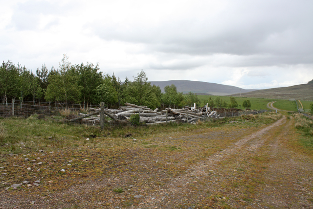
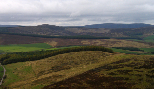
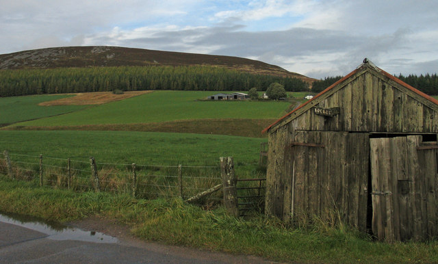
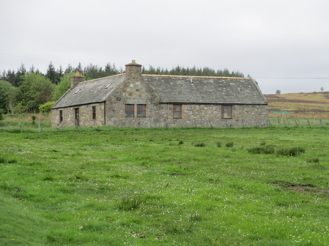
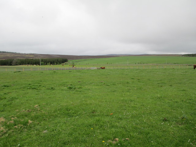
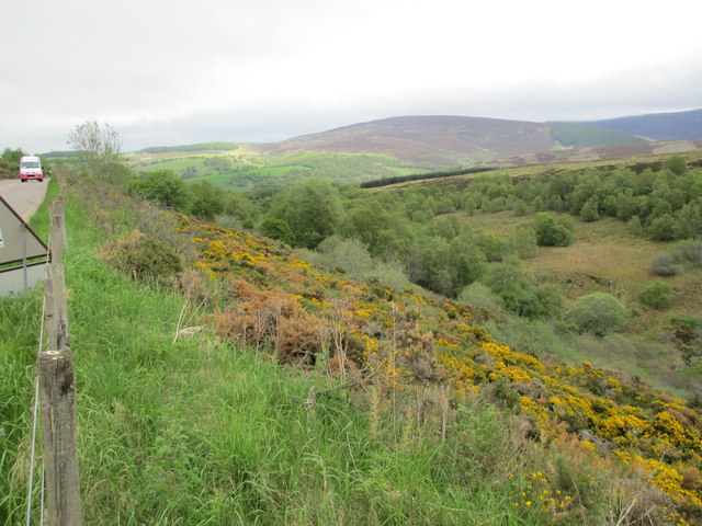
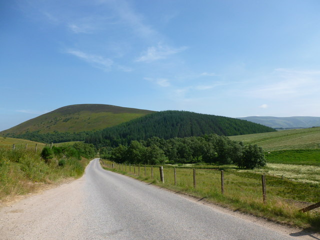
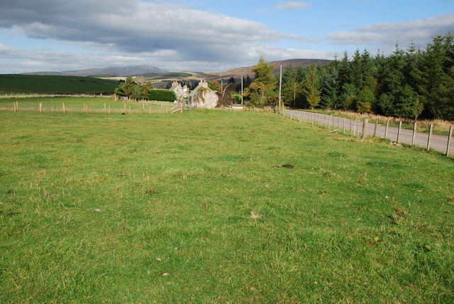
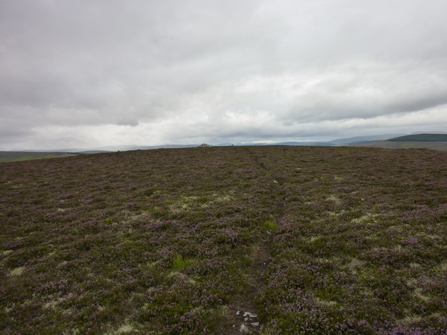
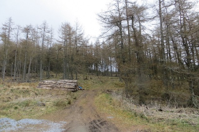
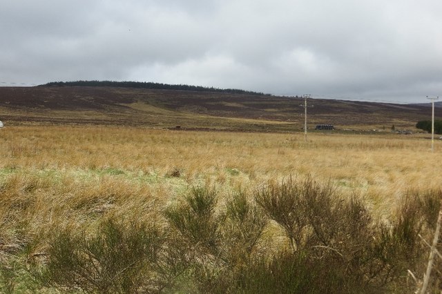
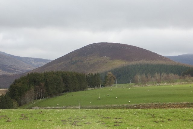
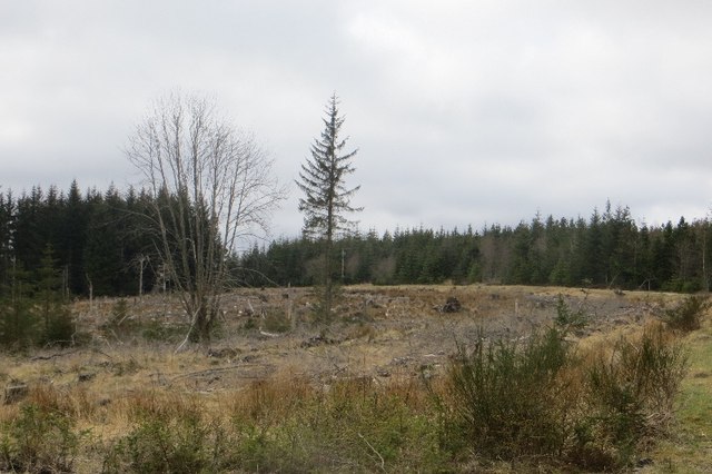
Buiternach Wood is a picturesque forest located in Banffshire, Scotland. With an area covering approximately 100 hectares, it is a popular destination for nature enthusiasts and hikers alike. The wood is situated near the village of Aberchirder, providing easy access to visitors from both local and surrounding areas.

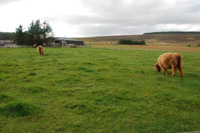
The woodland is primarily composed of native tree species, including oak, birch, and rowan, which create a diverse and vibrant ecosystem. The thick canopy of foliage provides a haven for wildlife, making it an ideal spot for birdwatching and animal spotting. Visitors may have the opportunity to observe various bird species, such as the great spotted woodpecker and the tawny owl, as well as mammals like red squirrels and roe deer.

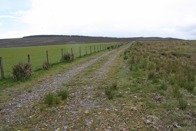
Trails and footpaths weave through the wood, offering visitors the chance to explore the enchanting scenery and soak in the tranquility of the surroundings. The well-maintained paths cater to all levels of fitness, making it suitable for families and individuals of all ages. Wooden benches are strategically placed along the trails, allowing visitors to rest and appreciate the beauty of the wood.

Buiternach Wood is also home to a variety of plant species, including bluebells, wild garlic, and wood sorrel, which create a stunning carpet of colors during the spring season. This natural spectacle attracts many photographers and nature enthusiasts, who come to capture the beauty of the wood.

Overall, Buiternach Wood offers a peaceful retreat where visitors can immerse themselves in nature and enjoy the captivating sights and sounds of the Scottish countryside.

If you have any feedback on the listing, please let us know in the comments section below.

Buiternach Wood Images

Images are sourced within 2km of 57.287895/-3.2993044 or Grid Reference NJ2122. Thanks to Geograph Open Source API. All images are credited.

Corner of plantation, Knockandhu A young Scots pine plantation with some rowan and birch planted along the southern end.
Corner of plantation, Knockandhu
A young Scots pine plantation with some rowan and birch planted along the southern end.
Track near Knockandhu Passing grazing fields at Muir of Croftbain.
Track near Knockandhu
Passing grazing fields at Muir of Croftbain.
West ridge of The Bochel The heather and grass slopes of the west ridge of The Bochel descend towards coniferous plantings. The conical hill left of centre is Carn Daimh and the more distant flat-topped hill to the right is Carn a’ Ghille Chearr, one of the Hills of Cromdale.
West ridge of The Bochel
The heather and grass slopes of the west ridge of The Bochel descend towards coniferous plantings. The conical hill left of centre is Carn Daimh and the more distant flat-topped hill to the right is Carn a’ Ghille Chearr, one of the Hills of Cromdale.
Shed and barns at Bochel The farm buildings at the centre of the image are those of Bochel. The hill rising beyond is called The Bochel.
Shed and barns at Bochel
The farm buildings at the centre of the image are those of Bochel. The hill rising beyond is called The Bochel.
A dwelling at Auchnarrow
Heatherhills Fold, Glenlivet Their speciality is Highland cattle.
Heatherhills Fold, Glenlivet
Their speciality is Highland cattle.
Looking towards Croftbain From the B9008.
Looking towards Croftbain
From the B9008.
The Bochel and the Glenlivet road The Bochel is the rounded hill in this view.  Its name probably derives from the Gaelic word Buachaille, meaning shepherd or herdsman.
The Bochel and the Glenlivet road
The Bochel is the rounded hill in this view. Its name probably derives from the Gaelic word Buachaille, meaning shepherd or herdsman.
Upland Pasture Just outside of Knockando on the B9008.
Upland Pasture
Just outside of Knockando on the B9008.
Highland cows and farm This Farm and cows is on the edge of Knockando. A very peaceful scene.
Highland cows and farm
This Farm and cows is on the edge of Knockando. A very peaceful scene.
Highland cow This one seemed friendly enough behind a fence! It even came over for a stroke.
Highland cow
This one seemed friendly enough behind a fence! It even came over for a stroke.
Heatherhills Fold Most of this area is part of the Glenlivet Estate, here in the field to my left they rear Highland Cows. The road is the B9008 just outside of Knockando.
Heatherhills Fold
Most of this area is part of the Glenlivet Estate, here in the field to my left they rear Highland Cows. The road is the B9008 just outside of Knockando.
Bochel Summit Narrow path through the heather leading to the summit cairn.
Bochel Summit
Narrow path through the heather leading to the summit cairn.
Woodland, Knockandhu A small conifer plantation.
Woodland, Knockandhu
A small conifer plantation.
Rough grazing, Auchnarrow
Auchnarrow Entering the long settlement of Auchnarrow and Knockandhu on the B9008.
Auchnarrow
Entering the long settlement of Auchnarrow and Knockandhu on the B9008.
Auchnarrow Farmland in Glen Livet with a view of The Bochel.
Auchnarrow
Farmland in Glen Livet with a view of The Bochel.
Woodland, Auchnarrow Part of a large conifer plantation.
Woodland, Auchnarrow
Part of a large conifer plantation.
Show me another place!

Buiternach Wood is located at Grid Ref: NJ2122 (Lat: 57.287895, Lng: -3.2993044)

Unitary Authority: Moray

Police Authority: North East

What 3 Words

///eaten.shippers.singing. Near Grantown-on-Spey, Highland

Nearby Locations

Buiternach Wood

Related Wikis

Auchnarrow

Auchnarrow (Scottish Gaelic: Achadh an Arbha) is a village in Moray, Scotland.

Clashnoir

Clashnoir is a settlement in Glenlivet, Moray, Scotland, 92 miles north of Edinburgh and 25 miles south of Elgin.

County of Moray

The County of Moray; (Scottish Gaelic: Moireibh [ˈmɤɾʲəv]) or Morayshire, called Elginshire until 1919, is a historic county, registration county and lieutenancy...

Glenlivet Estate

The Glenlivet Estate is located in Glenlivet, Scotland in the Cairngorms National Park. It measures 58,000 acres (230 km2) and is part of The Crown Estate...

Nearby Amenities

Located within 500m of 57.287895,-3.2993044
Power: pole
Lat/Long: 57.2914863/-3.3042017
The data included in this document is from www.openstreetmap.org. The data is made available under ODbL.

Have you been to Buiternach Wood?

Leave your review of Buiternach Wood below (or comments, questions and feedback).