Edge Plantation

Wood, Forest in Peeblesshire

Scotland

Edge Plantation

A symbolic gravestone at Lyne Kirkyard The skull and crossed femur bones are symbols of mortality on this 18th century stone. The inscription on the reverse side reads:

HERE LYETH
THE BODY OF
ADAM BRYDEN
TENANT IN FLIMIN
G TOWN MILL WHO
DYED APPRIL THE 5TH 1737
HIS AGE 76 AND
JANET SMITH HIS
SPOUSE WHO DYED
MAY 16 1721 AGED 63
A symbolic gravestone at Lyne Kirkyard Credit: Walter Baxter

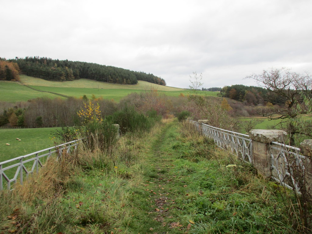
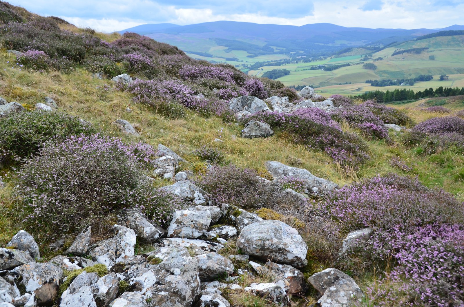
Edge Plantation is a picturesque woodland located in the Peeblesshire region of Scotland. Covering an area of approximately 500 acres, it is a prominent forested area known for its natural beauty and diverse range of flora and fauna.

The plantation is primarily composed of deciduous trees, including oak, beech, and birch, which provide a stunning display of colors during the autumn months. The dense canopy of these trees creates a sheltered and serene environment, making it a popular destination for nature lovers and hikers.

Traversing through the plantation, one can find a network of well-maintained walking trails that offer breathtaking views of the surrounding countryside. These trails cater to all levels of experience and provide an opportunity to explore the woodland's rich biodiversity. Bird enthusiasts can spot a variety of species, including woodpeckers, owls, and various songbirds.

The Edge Plantation is meticulously managed, with efforts made to preserve its natural ecosystem. The forest is home to numerous animal species, such as red squirrels, roe deer, and foxes. Conservation initiatives have been implemented to protect these inhabitants and maintain the delicate balance of the ecosystem.

Visitors can also find picnic areas and benches scattered throughout the plantation, allowing them to relax and immerse themselves in the tranquil surroundings. Additionally, educational programs and guided tours are regularly organized to provide visitors with insights into the plantation's history, wildlife, and conservation efforts.

In summary, Edge Plantation in Peeblesshire is a captivating woodland that offers a serene escape into nature. With its diverse range of trees, wildlife, and well-maintained trails, it provides an ideal location for outdoor enthusiasts and those seeking a peaceful retreat.

If you have any feedback on the listing, please let us know in the comments section below.

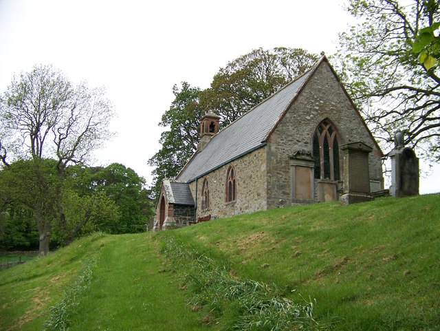
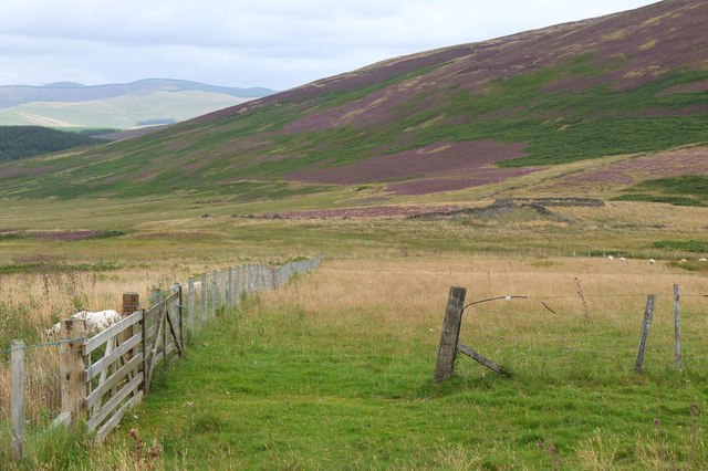
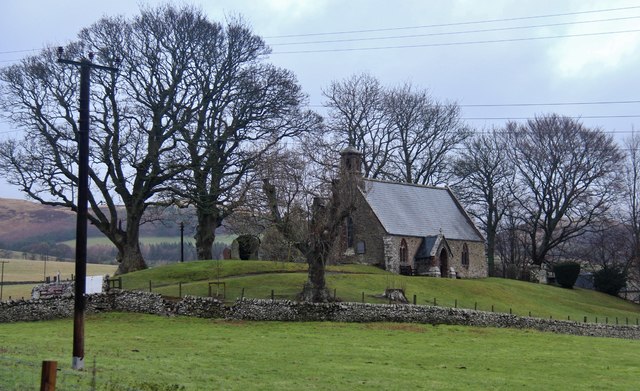
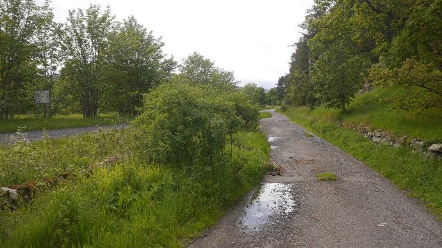
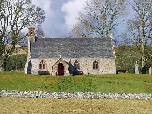
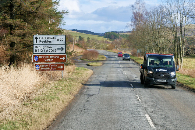
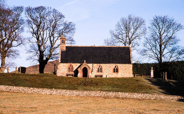
Edge Plantation Images

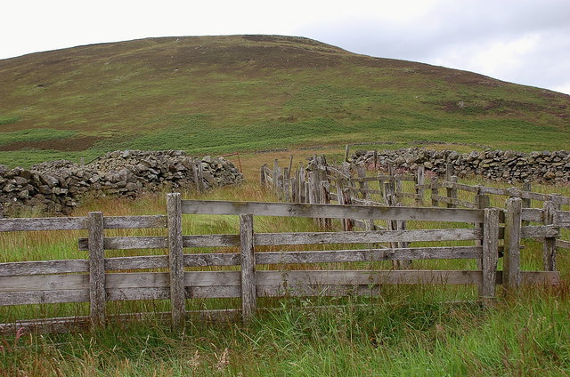
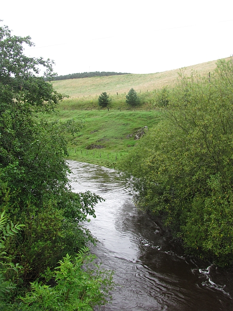
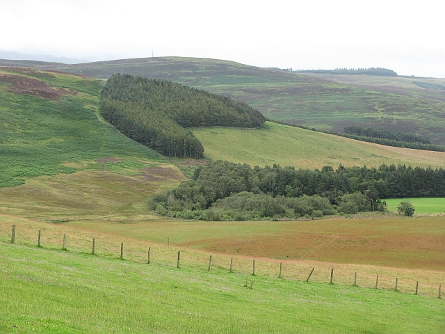
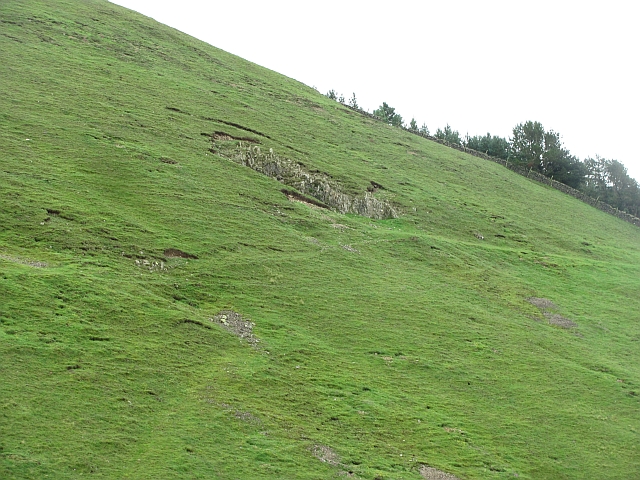
Images are sourced within 2km of 55.656154/-3.2634901 or Grid Reference NT2041. Thanks to Geograph Open Source API. All images are credited.

A symbolic gravestone at Lyne Kirkyard The skull and crossed femur bones are symbols of mortality on this 18th century stone. The inscription on the reverse side reads:

HERE LYETH
THE BODY OF
ADAM BRYDEN
TENANT IN FLIMIN
G TOWN MILL WHO
DYED APPRIL THE 5TH 1737
HIS AGE 76 AND
JANET SMITH HIS
SPOUSE WHO DYED
MAY 16 1721 AGED 63
A symbolic gravestone at Lyne Kirkyard
The skull and crossed femur bones are symbols of mortality on this 18th century stone. The inscription on the reverse side reads: HERE LYETH THE BODY OF ADAM BRYDEN TENANT IN FLIMIN G TOWN MILL WHO DYED APPRIL THE 5TH 1737 HIS AGE 76 AND JANET SMITH HIS SPOUSE WHO DYED MAY 16 1721 AGED 63
Lyne Kirk In Peeblesshire Looking towards the east.
Lyne Kirk In Peeblesshire
Looking towards the east.
Old sheepfold below Black Meldon Wooden fencing within a larger area enclosed by a partly ruined stone wall.
Old sheepfold below Black Meldon
Wooden fencing within a larger area enclosed by a partly ruined stone wall.
Lyne Water Looking upstream from Five Mile Bridge. The river is in spate after two days of continuous heavy rain.
Lyne Water
Looking upstream from Five Mile Bridge. The river is in spate after two days of continuous heavy rain.
Hare Stell Plantation Sheltering woodland above Lyne.
Hare Stell Plantation
Sheltering woodland above Lyne.
Quarry, Hamildean Hill A small quarry on the grassy flanks of Hamildean Hill.
Quarry, Hamildean Hill
A small quarry on the grassy flanks of Hamildean Hill.
East gateway of the Roman Fort at Lyne
The reverse side of the Adam and Eve gravestone at Lyne Parish Churchyard According to the information leaflet available in the church, the inscription reads "Here lyes Janne Veitch daughter to John Veitch Tennent in Hamiltoune, who dyed the 31 of January 1712 aged 16 years & 6 weiks.  Life is the road to death and death heavens gate must be.  Heaven is the thron of Christ and Christ is life to me"
The reverse side of the Adam and Eve gravestone at Lyne Parish Churchyard
According to the information leaflet available in the church, the inscription reads "Here lyes Janne Veitch daughter to John Veitch Tennent in Hamiltoune, who dyed the 31 of January 1712 aged 16 years & 6 weiks. Life is the road to death and death heavens gate must be. Heaven is the thron of Christ and Christ is life to me"
Lyne Kirk In Peeblesshire The earliest mention of a chapel at Lyne dates from the 12th century AD.  The present church was thought to have been built between 1640 and 1644.  Restoration was done in 1888 and the porch added in 1988-89
Lyne Kirk In Peeblesshire
The earliest mention of a chapel at Lyne dates from the 12th century AD. The present church was thought to have been built between 1640 and 1644. Restoration was done in 1888 and the porch added in 1988-89
Abbey Knowe at Lyne in Peeblesshire This is thought to be the site of a church of the late 5th. or early 6th. century and was described by Dr. Gunn, in his book on Lyne and Meggat Churches, as the 'Cradle of Christianity' in Peeblesshire. In much more recent times three burial cists were found indication an organised burial site. Just to the west of the Knowe is situated the site of a major, 2nd. century Roman Fort which was headquarters to both centurions and cavalry. The outline of the site can be clearly seen from Abbey Knowe.
Abbey Knowe at Lyne in Peeblesshire
This is thought to be the site of a church of the late 5th. or early 6th. century and was described by Dr. Gunn, in his book on Lyne and Meggat Churches, as the 'Cradle of Christianity' in Peeblesshire. In much more recent times three burial cists were found indication an organised burial site. Just to the west of the Knowe is situated the site of a major, 2nd. century Roman Fort which was headquarters to both centurions and cavalry. The outline of the site can be clearly seen from Abbey Knowe.
Approaching the old sheepfold, Black Meldon Colourful heather and deep bracken clothe the slopes of Black Meldon at this time of year.
Approaching the old sheepfold, Black Meldon
Colourful heather and deep bracken clothe the slopes of Black Meldon at this time of year.
Lyne Kirk
Lyne Kirk
Five Mile Bridge Plaque
Old road alignment, Hallyne The A72 had been straightened out sometime in the past.
Old road alignment, Hallyne
The A72 had been straightened out sometime in the past.
Lyne Water at Hamildean A view towards Hamildean Hill with the Lyne Water, a tributary of the River Tweed, in the foreground.
Lyne Water at Hamildean
A view towards Hamildean Hill with the Lyne Water, a tributary of the River Tweed, in the foreground.
Lyne Kirk Lyne Kirk is an ancient and historic kirk or church, of the Church of Scotland, founded in the 12th century. It is situated on top of a mound adjacent to the A72 trunk route 4½ miles to the west of Peebles. The church fell into disrepair during the 16th century and was described as ruinous in 1600. The church was greatly renovated in 1644, and refurbished to form the fine building seen today Further major renewal work was carried out in 1889.

Lyne Kirk is a Category B listed building (Historic Environment Scotland LB15357 <span class="nowrap"><a title="http://portal.historicenvironment.scot/designation/LB15357" rel="nofollow ugc noopener" href="http://portal.historicenvironment.scot/designation/LB15357">Link</a><img style="margin-left:2px;" alt="External link" title="External link - shift click to open in new window" src="https://s1.geograph.org.uk/img/external.png" width="10" height="10"/></span> ). It is open to visitors.
Lyne Kirk
Lyne Kirk is an ancient and historic kirk or church, of the Church of Scotland, founded in the 12th century. It is situated on top of a mound adjacent to the A72 trunk route 4½ miles to the west of Peebles. The church fell into disrepair during the 16th century and was described as ruinous in 1600. The church was greatly renovated in 1644, and refurbished to form the fine building seen today Further major renewal work was carried out in 1889. Lyne Kirk is a Category B listed building (Historic Environment Scotland LB15357 LinkExternal link ). It is open to visitors.
A72 near Hallyne The A72 road is a major route in Scotland connecting Hamilton in South Lanarkshire, with Galashiels in the Scottish Borders. Its scenic route travels for over 60 miles along the Clyde and Tweed valleys, passing the towns of Larkhall, Lanark, Biggar and Peebles.
A72 near Hallyne
The A72 road is a major route in Scotland connecting Hamilton in South Lanarkshire, with Galashiels in the Scottish Borders. Its scenic route travels for over 60 miles along the Clyde and Tweed valleys, passing the towns of Larkhall, Lanark, Biggar and Peebles.
Lyne Kirk Lyne Kirk is a Church of Scotland place of worship lying to the north of the A72, some kilometres west of Peebles.  It's a Category B listed building under the Scottish system of listing.
Lyne Kirk
Lyne Kirk is a Church of Scotland place of worship lying to the north of the A72, some kilometres west of Peebles. It's a Category B listed building under the Scottish system of listing.
Show me another place!

Edge Plantation is located at Grid Ref: NT2041 (Lat: 55.656154, Lng: -3.2634901)

Unitary Authority: The Scottish Borders

Police Authority: The Lothians and Scottish Borders

What 3 Words

///sifts.improvise.snowballs. Near Peebles, Scottish Borders

Related Wikis

Lyne, Scottish Borders

Lyne (Scottish Gaelic: An Lainn) is a small village and civil parish in the Scottish Borders area of Scotland, 4 miles (6.4 km) west of the market town...
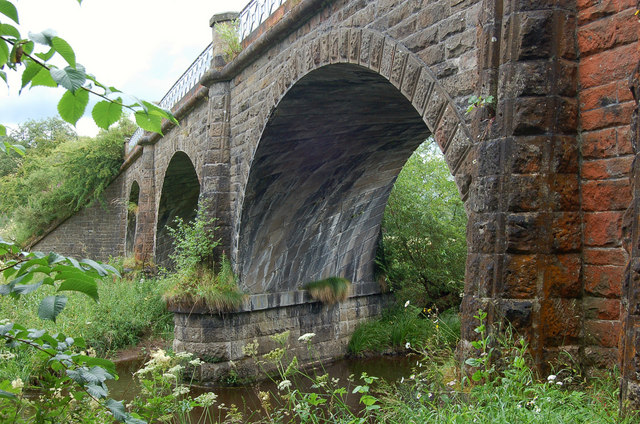
Lyne Viaduct

Lyne Viaduct is a viaduct at Lyne in the Scottish Borders of Scotland. It consists of three stone skew arches and a plate girder approach span over a minor...

Lyne railway station

Lyne railway station served the village of Lyne, Scottish Borders, Scotland from 1864 to 1950 on the Symington, Biggar and Broughton Railway. == History... ==

Black Meldon

Black Meldon is a prehistoric site, a hillfort near the village of Lyne and about 4 miles (6 km) west of Peebles, in the Scottish Borders, Scotland. It...

Nearby Amenities

Located within 500m of 55.656154,-3.2634901
Barrier: cattle_grid
Source: survey
Lat/Long: 55.6577727/-3.2593649
Lyne
Place: locality
Wikidata: Q6708784
Wikipedia: en:Lyne, Scottish Borders
Lat/Long: 55.6561575/-3.2701545
Give Way
Direction: forward
Lat/Long: 55.6547881/-3.2603437
Power: pole
Lat/Long: 55.6518818/-3.2620028
Power: pole
Lat/Long: 55.6523231/-3.2636553
Power: pole
Lat/Long: 55.6527288/-3.2651543
Power: pole
Lat/Long: 55.653189/-3.2668446
Power: pole
Lat/Long: 55.653603/-3.268373
Power: pole
Lat/Long: 55.6540264/-3.2699435
The data included in this document is from www.openstreetmap.org. The data is made available under ODbL.

Have you been to Edge Plantation?

Leave your review of Edge Plantation below (or comments, questions and feedback).