Catforth

Settlement in Lancashire Preston

England

Catforth

Old Milestone Marker 48-09 F (between bridges 35-34), Lancaster Canal Old Milestone located by the side of the Lancaster Canal
This milestone is 9 miles from the centre of Preston and 48 miles from Kendal

Inscription reads:- 
Preston / 9 (missing) :: Garstang / 8 (missing) 

Milestone Society National ID: LAN-09
Old Milestone Marker 48-09 F (between bridges 35-34), Lancaster Canal Credit: Cactus Chris

Catforth is a small village located in the county of Lancashire, England. Situated approximately 6 miles northwest of the city of Preston, it falls within the civil parish of Woodplumpton. With a population of around 400 residents, Catforth is known for its quiet and rural atmosphere.

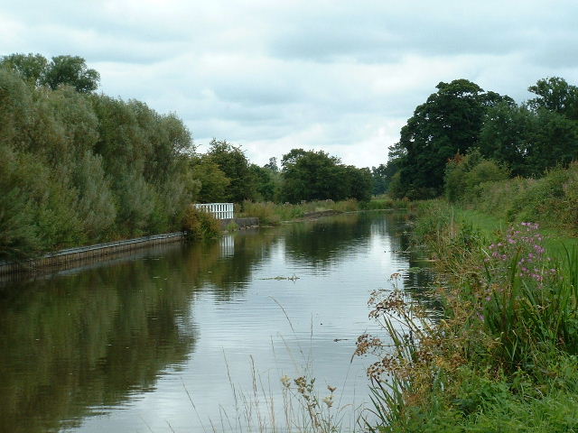
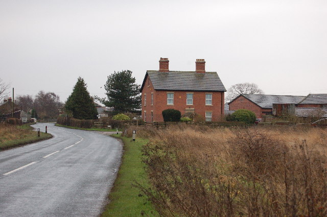
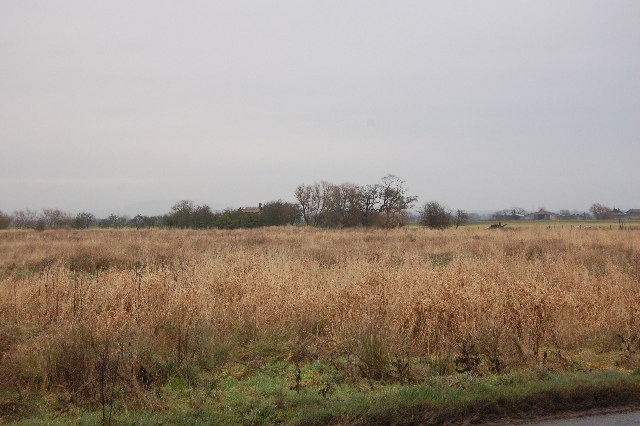
The village is surrounded by picturesque countryside, offering stunning views and a peaceful environment. The area's landscape is primarily agricultural, with lush green fields and farmlands dominating the scenery. The village itself consists of a cluster of traditional stone-built cottages and houses, giving it a charming and idyllic appearance.

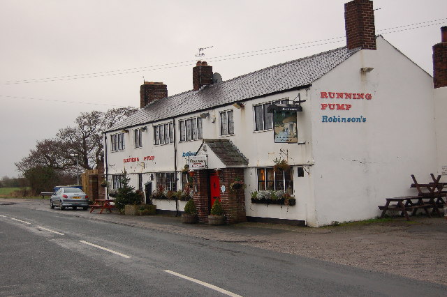
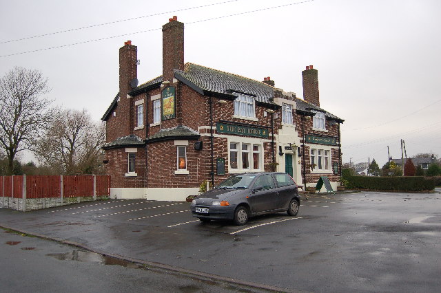
Despite its small size, Catforth has a strong sense of community and a few local amenities to serve its residents. The village features a local pub, The Fleece Inn, which is a popular meeting place for both villagers and visitors. Additionally, there is a village hall that hosts various community events and gatherings.

Catforth's location provides easy access to nearby towns and cities, with Preston being the closest major urban center. This allows residents to enjoy the tranquility of village life while having the convenience of urban amenities within reach.

For those seeking recreational opportunities, the village is surrounded by beautiful countryside, offering plenty of walking and cycling trails. Additionally, the nearby Brockholes Nature Reserve provides a peaceful retreat for nature lovers, with its diverse wildlife and scenic lakes.

Overall, Catforth offers a charming rural lifestyle, making it an attractive place to live for those who value peace, community spirit, and natural beauty.

If you have any feedback on the listing, please let us know in the comments section below.
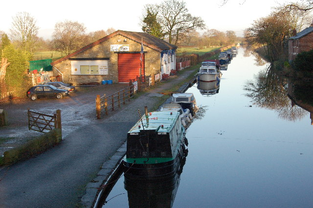
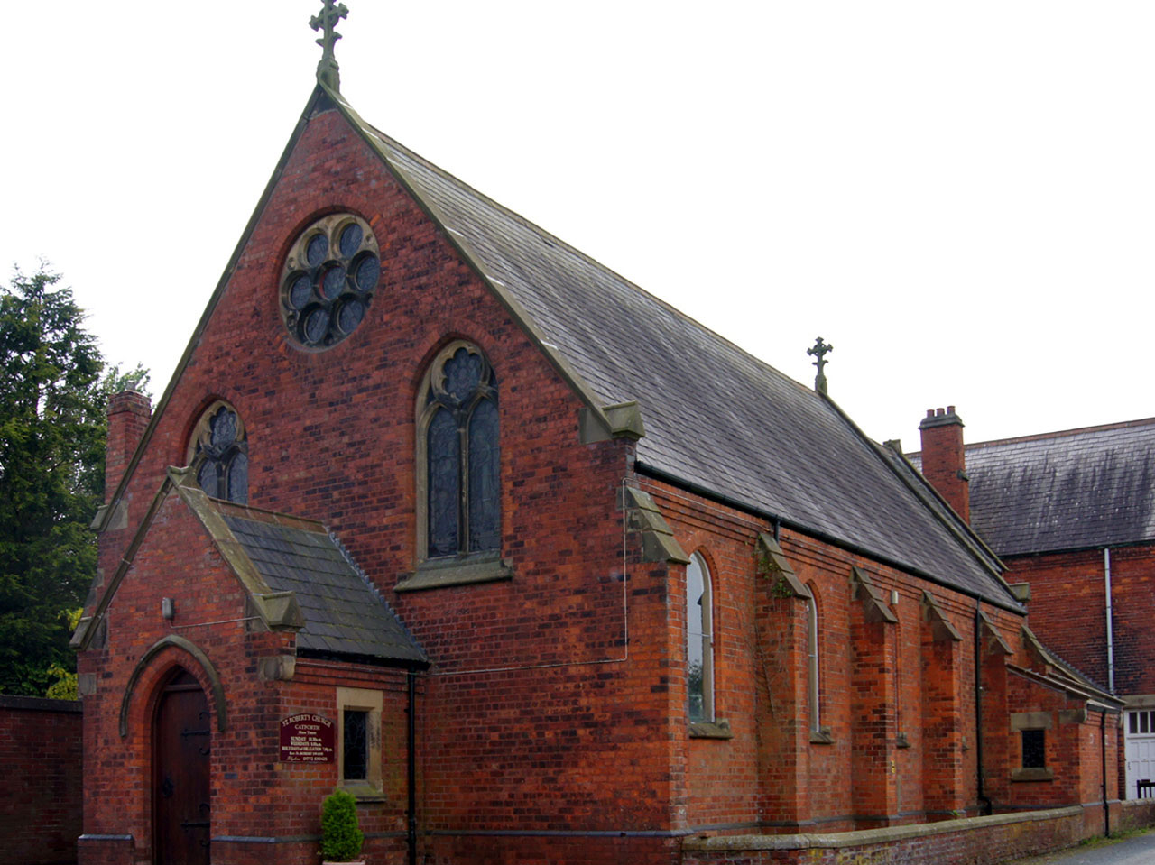
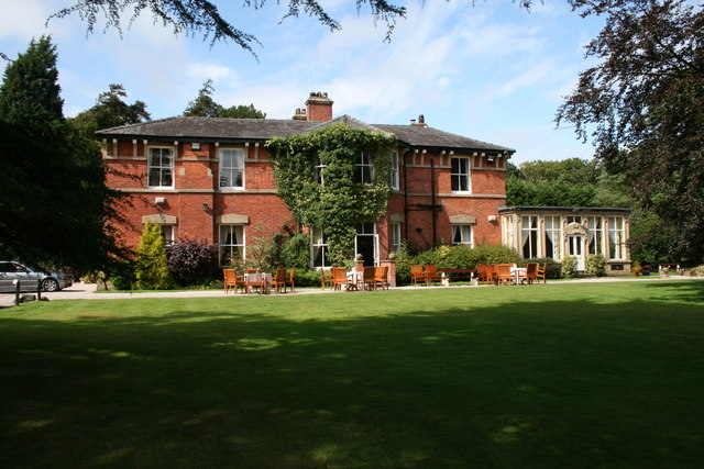
Catforth Images

Images are sourced within 2km of 53.814871/-2.792342 or Grid Reference SD4735. Thanks to Geograph Open Source API. All images are credited.

Old Milestone Marker 48-09 F (between bridges 35-34), Lancaster Canal Old Milestone located by the side of the Lancaster Canal
This milestone is 9 miles from the centre of Preston and 48 miles from Kendal

Inscription reads:- 
Preston / 9 (missing) :: Garstang / 8 (missing) 

Milestone Society National ID: LAN-09
Old Milestone Marker 48-09 F (between bridges 35-34), Lancaster Canal
Old Milestone located by the side of the Lancaster Canal This milestone is 9 miles from the centre of Preston and 48 miles from Kendal Inscription reads:- Preston / 9 (missing) :: Garstang / 8 (missing) Milestone Society National ID: LAN-09
Old Milestone Marker 49-08 F (between bridges 32-31), Lancaster Canal Old Milestone located by the side of the Lancaster Canal
This milestone is 8 miles from the centre of Preston and 49 miles from Kendal

Inscription reads:- 
Preston / 8 (missing) :: Garstang / 9 (missing) 

Milestone Society National ID: LAN-08
Old Milestone Marker 49-08 F (between bridges 32-31), Lancaster Canal
Old Milestone located by the side of the Lancaster Canal This milestone is 8 miles from the centre of Preston and 49 miles from Kendal Inscription reads:- Preston / 8 (missing) :: Garstang / 9 (missing) Milestone Society National ID: LAN-08
Old Milestone Marker 50-07 F (between bridges 30-29), Lancaster Canal Old Milestone located by the side of the Lancaster Canal
This milestone is 7 miles from the centre of Preston and 50 miles from Kendal

Inscription reads:- 
Preston / 7 :: Garstang / 10 

Milestone Society National ID: LAN-07
Old Milestone Marker 50-07 F (between bridges 30-29), Lancaster Canal
Old Milestone located by the side of the Lancaster Canal This milestone is 7 miles from the centre of Preston and 50 miles from Kendal Inscription reads:- Preston / 7 :: Garstang / 10 Milestone Society National ID: LAN-07
Milestone Marker 48-09 F (between bridges 35-34), Lancaster Canal Milestone located by the side of the Lancaster Canal
This milestone is 9 miles from the centre of Preston and 48 miles from Kendal

Inscription reads:-
Preston / 9 :: Garstang / 8

Milestone Society National ID: LAN-09R 

Note: The original milestone is badly damaged, but is still in situ behind the replacement, but deep in the bushes.
Milestone Marker 48-09 F (between bridges 35-34), Lancaster Canal
Milestone located by the side of the Lancaster Canal This milestone is 9 miles from the centre of Preston and 48 miles from Kendal Inscription reads:- Preston / 9 :: Garstang / 8 Milestone Society National ID: LAN-09R Note: The original milestone is badly damaged, but is still in situ behind the replacement, but deep in the bushes.
Newly Planted trees at Junction 3 of the M55
Canal nr Moor Side Lancaster canal looking SW
Canal nr Moor Side
Lancaster canal looking SW
Lancaster Canal, Kellet's Bridge
Field gate, with M55 beyond
The Running Pump Pub well known for its fine beers and home cooked food.
The Running Pump
Pub well known for its fine beers and home cooked food.
The Bay Horse at Catforth Friendly pub with good food.
The Bay Horse at Catforth
Friendly pub with good food.
Bridge over Barton Brook Bridge over Barton Brook near Cuddy Hill.
Bridge over Barton Brook
Bridge over Barton Brook near Cuddy Hill.
Farm House at Woodsfold. Woodsfold near Carr house Green Common.
Farm House at Woodsfold.
Woodsfold near Carr house Green Common.
Carr House Green Common. A special wild area of moss and sedges great for wildlife.
Carr House Green Common.
A special wild area of moss and sedges great for wildlife.
The Boat Yard Catforth The Boat yard and mooring at this point on the Lancaster Canal used to be known as The Jolly Roger.
The Boat Yard Catforth
The Boat yard and mooring at this point on the Lancaster Canal used to be known as The Jolly Roger.
Catforth Village Hall Village hall with great bowling green
Catforth Village Hall
Village hall with great bowling green
Kellets Bridge Bridge on the Preston to Lancaster Canal
Kellets Bridge
Bridge on the Preston to Lancaster Canal
Trig Point, just off Cinder Lane
Looking across farmland to old thatched farmhouse
Show me another place!

Catforth is located at Grid Ref: SD4735 (Lat: 53.814871, Lng: -2.792342)

Administrative County: Lancashire

District: Preston

Police Authority: Lancashire

What 3 Words

///backpack.bearable.mirror. Near Kirkham, Lancashire

Nearby Locations

Catforth

Related Wikis

Catforth

Catforth is a village in the English civil parish of Woodplumpton and the City of Preston district, in Lancashire, England. There is a village hall and...
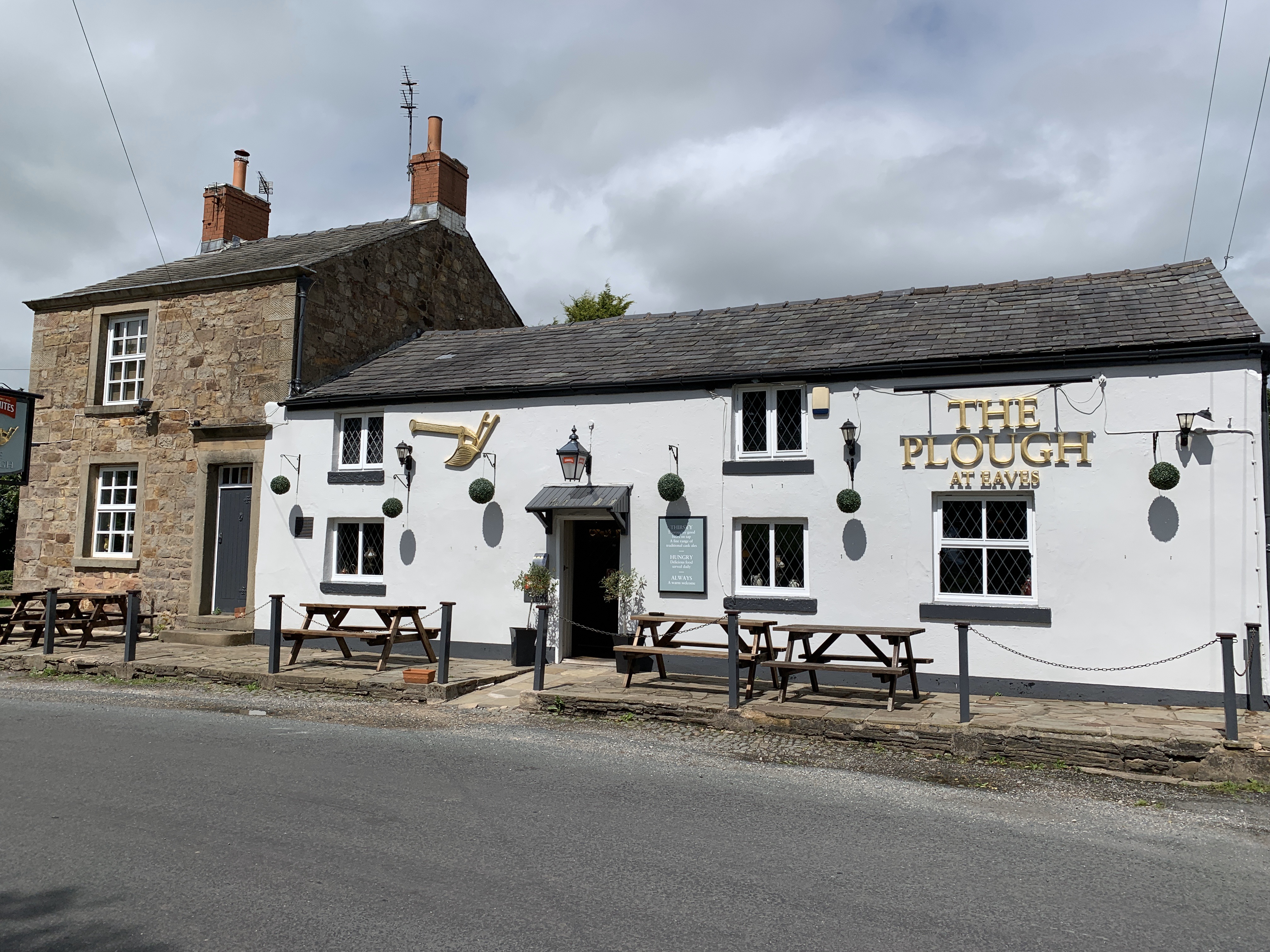
Eaves, Lancashire

Eaves is a hamlet in Lancashire, England, six miles north of Preston. It is part of the Fylde, a flat area of land between the Forest of Bowland and the...

Woodplumpton

Woodplumpton is a village and civil parish in the City of Preston, Lancashire, England, located 5 miles (8 km) north of Preston. == Geography == It is...

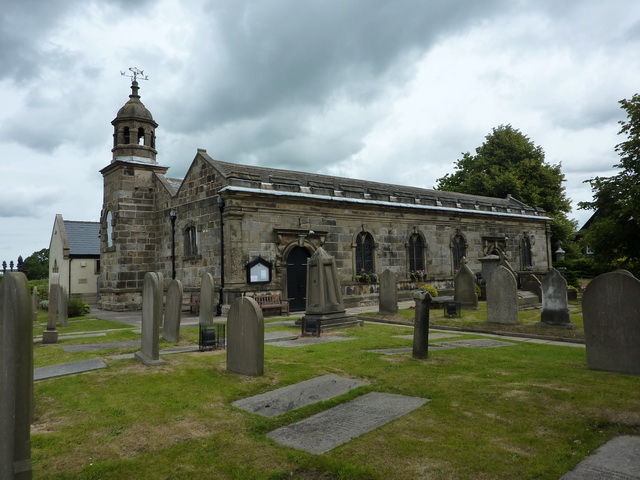
St Anne's Church, Woodplumpton

St Anne's is a church in the village of Woodplumpton in Lancashire, England. It is an active Anglican parish church in the Diocese of Blackburn, and the...

Nearby Amenities

Located within 500m of 53.814871,-2.792342
Catforth
Place: village
Source: npe and gazetteer
Wikidata: Q5051999
Lat/Long: 53.8156004/-2.7935321
Addr Postcode: PR4 0HH
Addr Street: Catforth Road
Disused Shop: yes
Lat/Long: 53.8186595/-2.7960897
Post Box
Collection Times: Mo-Fr 16:00; Sa 10:30
Operator: Royal Mail
Ref: PR4 238
Lat/Long: 53.8152364/-2.7971375
Bench
Backrest: yes
Lat/Long: 53.8157145/-2.7976559
Defibrillator
Defibrillator Location: outside Catforth Village Hall
Emergency: defibrillator
Indoor: no
Lat/Long: 53.8117179/-2.7911398
The data included in this document is from www.openstreetmap.org. The data is made available under ODbL.

Have you been to Catforth?

Leave your review of Catforth below (or comments, questions and feedback).