Balloch Plantation

Wood, Forest in Aberdeenshire

Scotland

Balloch Plantation

Lone tree in Glen Feardar Lone tree on the moorland. The pallets in the foreground are sometimes used for beehives.
Lone tree in Glen Feardar Credit: David Robertson

Balloch Plantation is a picturesque woodland area located in Aberdeenshire, Scotland. Spread across a vast expanse of approximately 200 acres, this plantation is renowned for its stunning natural beauty and diverse range of flora and fauna. It is situated near the village of Ballogie, in close proximity to the River Dee.

The plantation is primarily composed of various species of coniferous and deciduous trees, including Scots pine, European larch, and birch. These trees create a dense canopy that provides shelter and habitat for numerous wildlife species. Visitors to Balloch Plantation can enjoy peaceful walks along the well-maintained trails, taking in the serene atmosphere and immersing themselves in nature.

The plantation offers a haven for birdwatchers, with a wide variety of avian species, including woodpeckers, owls, and various songbirds. Red squirrels are also frequently spotted in the area, adding to the charm and natural appeal of the plantation.

Aside from its natural beauty, Balloch Plantation has historical significance as well. The plantation is part of the Ballogie Estate, which has been in the ownership of the Farquharson family for centuries. The estate itself dates back to the 16th century and has played a significant role in the local community.

Overall, Balloch Plantation is a tranquil and enchanting woodland area that offers visitors a chance to escape the hustle and bustle of everyday life and immerse themselves in the beauty of nature. Whether it's a leisurely stroll or a birdwatching adventure, this plantation has something to offer for everyone.

If you have any feedback on the listing, please let us know in the comments section below.

Balloch Plantation Images

Images are sourced within 2km of 57.036673/-3.3177608 or Grid Reference NO2094. Thanks to Geograph Open Source API. All images are credited.

Lone tree in Glen Feardar Lone tree on the moorland. The pallets in the foreground are sometimes used for beehives.
Lone tree in Glen Feardar
Lone tree on the moorland. The pallets in the foreground are sometimes used for beehives.
Ruin above Balmore
Ruin above Balmore
Feed point on the moor Cattle(?) feed point on the moorland in Glen Feardar
Feed point on the moor
Cattle(?) feed point on the moorland in Glen Feardar
Orienteering race arena Setting up for the final day of the 2017 Scottish 6 Day Orienteering festival. The photo was taken early in the morning before most of the 3,000 competitors had arrived. <span class="nowrap"><a title="https://www.scottish6days.com/2017" rel="nofollow ugc noopener" href="https://www.scottish6days.com/2017">Link</a><img style="margin-left:2px;" alt="External link" title="External link - shift click to open in new window" src="https://s1.geograph.org.uk/img/external.png" width="10" height="10"/></span>
Orienteering race arena
Setting up for the final day of the 2017 Scottish 6 Day Orienteering festival. The photo was taken early in the morning before most of the 3,000 competitors had arrived. LinkExternal link
Glen Feardar towards Balmore
Aged larch above Glen Feardar
Glen Feardar Farmland by Balnoe with birch woods covering former fields on the hillsides.
Glen Feardar
Farmland by Balnoe with birch woods covering former fields on the hillsides.
Road, Aberarder Beyond the end of the public road, the estate road continues to Keilor  through fine scenery.
Road, Aberarder
Beyond the end of the public road, the estate road continues to Keilor through fine scenery.
Pair of roads, Glen Feardar Right for Balmore, left for Keilor.
Pair of roads, Glen Feardar
Right for Balmore, left for Keilor.
Road to Keilor from Glean Feardar
Towards Middleton of Aberarder A high visibility fence, so that grouse can see and avoid it. Middleton was a series of houses and enclosed fields, lost to depopulation during the 20th century.
Towards Middleton of Aberarder
A high visibility fence, so that grouse can see and avoid it. Middleton was a series of houses and enclosed fields, lost to depopulation during the 20th century.
Along the Felagie Burn Moorland north of the woodland on Meall Alvie.  View past the remains of Middleton of Aberarder towards Craig Leek.
Along the Felagie Burn
Moorland north of the woodland on Meall Alvie. View past the remains of Middleton of Aberarder towards Craig Leek.
Middleton of Aberarder Ruins of houses abandoned in the 20th century
Middleton of Aberarder
Ruins of houses abandoned in the 20th century
Road to Keilor from Glean Feardar
Woodland north of Meall Alvie
Head of the Fealgie Burn Looking over self seeded Scots pine towards Craig Leek.
Head of the Fealgie Burn
Looking over self seeded Scots pine towards Craig Leek.
Woodland north of Meall Alvie Trees, with their roots are being removed and taken to Glen Gairn. What they are being used for up there is uncertain, but I suspect some form of conservation work. <a href="https://www.geograph.org.uk/photo/6276986">NJ2302 : Road in Glen Gairn</a>
Woodland north of Meall Alvie
Trees, with their roots are being removed and taken to Glen Gairn. What they are being used for up there is uncertain, but I suspect some form of conservation work. NJ2302 : Road in Glen Gairn
Felagie Burn The burn drains a marshy area off Glen Feardar, behind Meall Alvie. This is a view from a bridge near Balnoe which is being renovated.
Felagie Burn
The burn drains a marshy area off Glen Feardar, behind Meall Alvie. This is a view from a bridge near Balnoe which is being renovated.
Show me another place!

Balloch Plantation is located at Grid Ref: NO2094 (Lat: 57.036673, Lng: -3.3177608)

Unitary Authority: Aberdeenshire

Police Authority: North East

What 3 Words

///lucky.evaporate.nesting. Near Inverey, Aberdeenshire

Nearby Locations

Balloch Plantation

Related Wikis

Invercauld Castle

Invercauld Castle () is a country house situated in Royal Deeside near Braemar in Scotland. It is protected as a category A listed building, and the grounds...

Culardoch

Culardoch (900 m) is a mountain in the Cairngorms of Scotland, located northeast of Braemar in Aberdeenshire. A smooth and heathery peak southeast of the...

Balmoral cairns

There are sixteen stone cairns on the Balmoral estate in Deeside, Scotland, including a single cairn on the adjoining Birkhall estate. The cairns commemorate...
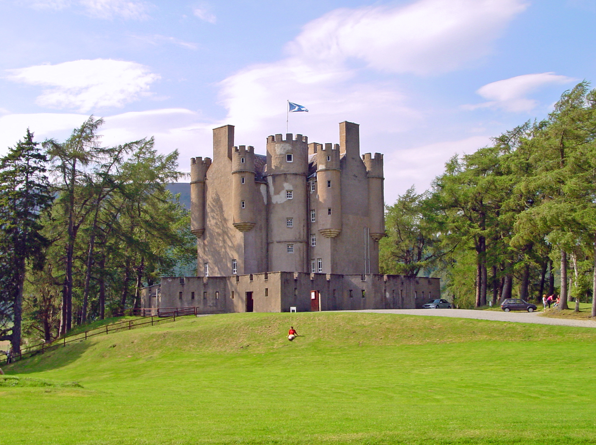
Braemar Castle

Braemar Castle is situated near the village of Braemar in Aberdeenshire, Scotland. It is a possession of the chief of Clan Farquharson and is leased to...

Nearby Amenities

Located within 500m of 57.036673,-3.3177608
The data included in this document is from www.openstreetmap.org. The data is made available under ODbL.

Have you been to Balloch Plantation?

Leave your review of Balloch Plantation below (or comments, questions and feedback).