Sawmill Wood

Wood, Forest in Perthshire

Scotland

Sawmill Wood

Sheep near Stewartshill Sheep scattered over the hillside near Stewartshill, with the Firth of Tay beyond.
Sheep near Stewartshill Credit: Scott Cormie

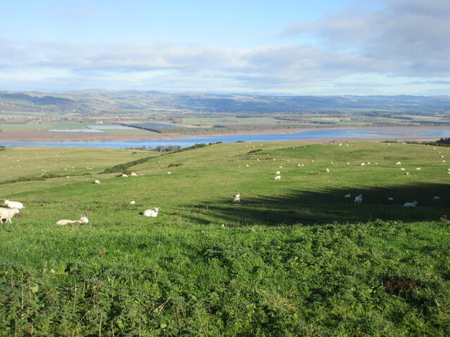
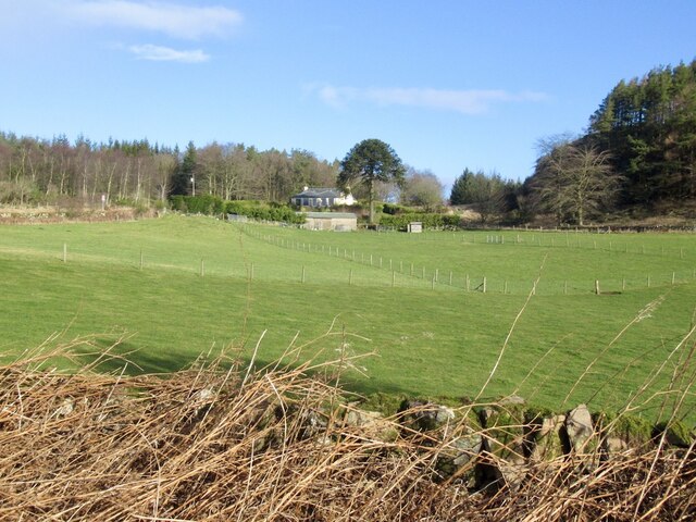
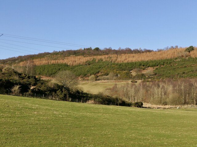
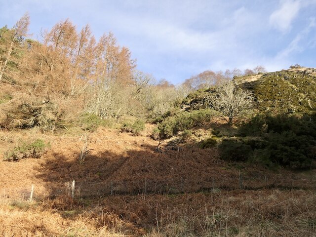
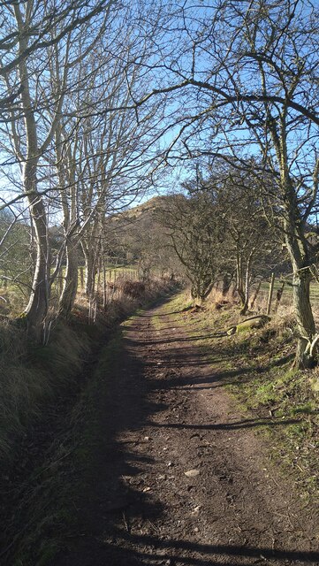
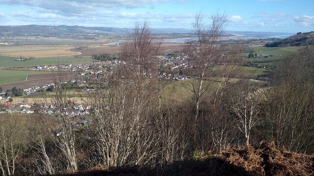
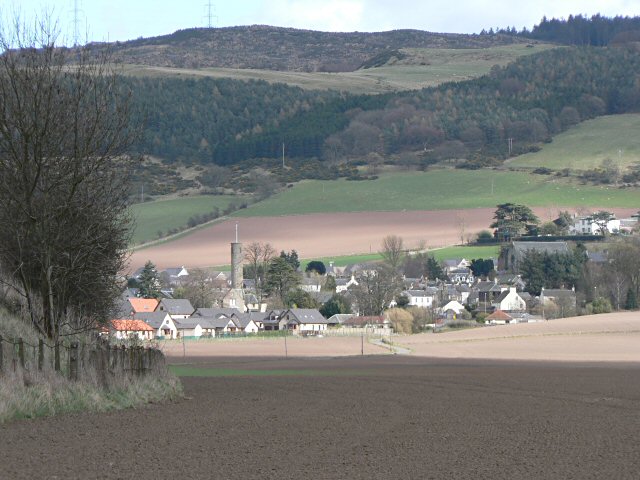
Sawmill Wood, located in Perthshire, Scotland, is a picturesque forest that covers an area of approximately 200 acres. The wood is renowned for its stunning natural beauty, offering visitors a tranquil and immersive experience within its lush green surroundings.

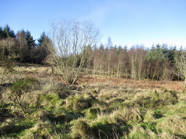
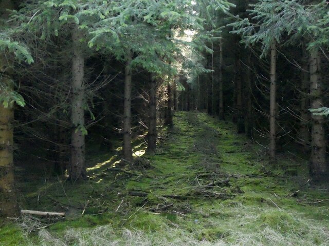
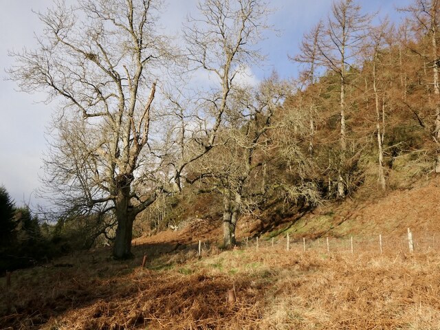
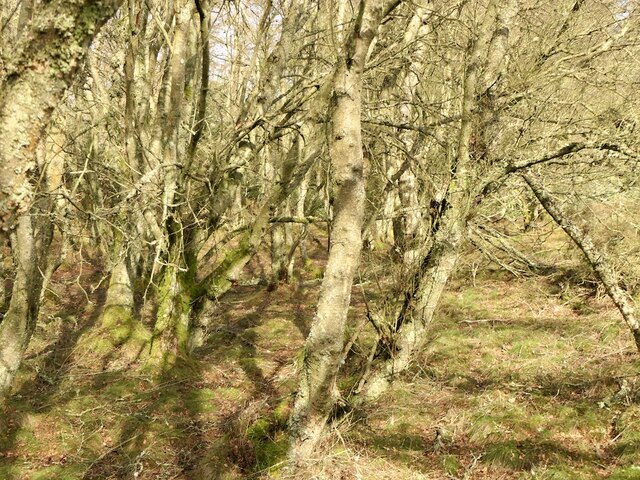
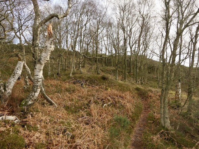
The forest is predominantly composed of a variety of deciduous and coniferous trees, including oak, birch, Scots pine, and Douglas fir, creating a diverse and vibrant ecosystem. Walking through Sawmill Wood, visitors can expect to encounter an array of flora and fauna, such as bluebells, ferns, and various species of birds and butterflies.

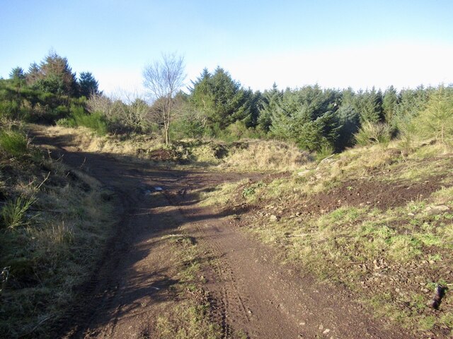
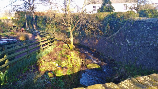
The wood is intersected by a network of well-maintained trails, making it accessible for walkers, hikers, and nature enthusiasts of all ages and abilities. These paths guide visitors through the enchanting forest, providing glimpses of its hidden treasures, including a peaceful stream that meanders through the wood, adding to the overall serenity of the experience.

Sawmill Wood is also home to a renowned sawmill, which has been operating for generations. This sawmill utilizes sustainable practices and plays a vital role in the local timber industry. The wood produced here is known for its high quality and is used in various construction and woodworking projects.

Visitors to Sawmill Wood can enjoy a range of activities, including picnicking, birdwatching, or simply taking a leisurely stroll amidst the calming ambiance of nature. The wood offers a true escape from the hustle and bustle of everyday life, allowing visitors to reconnect with the natural world and appreciate the beauty that surrounds them.

If you have any feedback on the listing, please let us know in the comments section below.
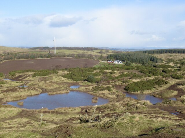
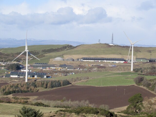
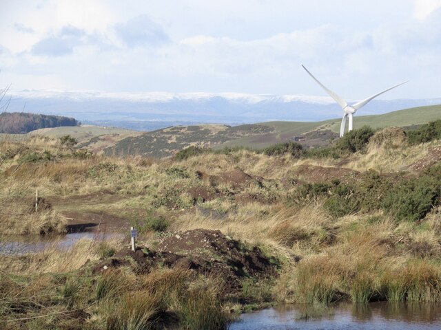
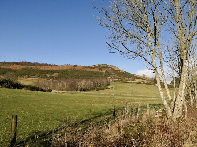
Sawmill Wood Images

Images are sourced within 2km of 56.314656/-3.3129121 or Grid Reference NO1814. Thanks to Geograph Open Source API. All images are credited.

Sheep near Stewartshill Sheep scattered over the hillside near Stewartshill, with the Firth of Tay beyond.
Sheep near Stewartshill
Sheep scattered over the hillside near Stewartshill, with the Firth of Tay beyond.
Glen Cottage At the summit of the pass between Strathmiglo and Abernethy.
Glen Cottage
At the summit of the pass between Strathmiglo and Abernethy.
Woodland near Balvaird
Four wheel drive track, Beins Law The Scottish Off-Road Driving Centre. Quiet today so a chance to get up Beins Law.
Four wheel drive track, Beins Law
The Scottish Off-Road Driving Centre. Quiet today so a chance to get up Beins Law.
Scottish Off Road Driving Centre View of the tracks from the summit of Beins Law.
Scottish Off Road Driving Centre
View of the tracks from the summit of Beins Law.
Waste processing, Binn Hill Once a landfill site, it is now home to an anaerobic digester and some turbines.
Waste processing, Binn Hill
Once a landfill site, it is now home to an anaerobic digester and some turbines.
Ponds and mounds, Beins Law A view past a turbine to the snow covered Highlands from the Scottish Off Road Driving Centre.
Ponds and mounds, Beins Law
A view past a turbine to the snow covered Highlands from the Scottish Off Road Driving Centre.
Abernethy Glen View towards the Castle Law fort.
Abernethy Glen
View towards the Castle Law fort.
Castle Law View from Abernethy Glen. The hill has a fearsome appearance with gorse everywhere, but there are several paths up.
Castle Law
View from Abernethy Glen. The hill has a fearsome appearance with gorse everywhere, but there are several paths up.
Ride, Drumcairn Sitka plantation beneath Castle Law.
Ride, Drumcairn
Sitka plantation beneath Castle Law.
Woods, Castle Law Beside the big crumbly crag of Cutty's How.
Woods, Castle Law
Beside the big crumbly crag of Cutty's How.
Woodland, Castle Law
Woodland, Castle Law The higher parts of the hill are very pleasant with open mixed woodlands.
Woodland, Castle Law
The higher parts of the hill are very pleasant with open mixed woodlands.
Path, Castle Law The path goes down the hill to the forestry gate near Drumcairn <a href="https://www.geograph.org.uk/photo/683519">NO1714 : Gate into Forest</a>
Path, Castle Law
The path goes down the hill to the forestry gate near Drumcairn NO1714 : Gate into Forest
The Ballo Burn in Abernethy
Elizabeth Peattie Memorial Garden The garden is dedicated to the memory of Elizabeth Peattie who was the District Nurse for Abernethy and surrounding area for almost 30 years from 1936 to 1963.
Elizabeth Peattie Memorial Garden
The garden is dedicated to the memory of Elizabeth Peattie who was the District Nurse for Abernethy and surrounding area for almost 30 years from 1936 to 1963.
The path back to Abernethy
View from Castle Law over Abernethy In the distance the confluence of the Rivers Earn and Tay may be seen.
View from Castle Law over Abernethy
In the distance the confluence of the Rivers Earn and Tay may be seen.
Show me another place!

Sawmill Wood is located at Grid Ref: NO1814 (Lat: 56.314656, Lng: -3.3129121)

Unitary Authority: Perth and Kinross

Police Authority: Tayside

What 3 Words

///finer.ranking.train. Near Abernethy, Perth & Kinross

Related Wikis

Abernethy Round Tower

The Abernethy Round Tower is a stone-built Irish-style round tower which stands in School Wynd, at the edge of the village cemetery, in Abernethy, Perth...

Abernethy, Perth and Kinross

Abernethy (Scottish Gaelic: Obar Neithich) is a village in Perth and Kinross, Scotland, situated 8 miles (13 km) south-east of Perth. == Etymology == Abernethy...

Abernethy railway station

Abernethy railway station served the village of Abernethy, in Scotland. == History == Initially Abernethy Road opened concurrently with the Edinburgh and...

Aberargie

Aberargie (Scottish Gaelic: Obar Fhargaidh) is a village in the south eastern region of Perth and Kinross. It lies on the western edge of the old Abernethy...

Nearby Amenities

Located within 500m of 56.314656,-3.3129121
Site of saw mill
1860name: Saw Mill
Pont: no
Stobie1783: no
Designation: Historic Mill
Historic: archaeological_site
Source: OS Six inch First Series
Lat/Long: 56.3130919/-3.3145462
Generator Method: wind_turbine
Generator Source: wind
Generator Type: wind_turbine
Power: generator
Lat/Long: 56.3177587/-3.3071821
Generator Method: wind_turbine
Generator Source: wind
Generator Type: wind_turbine
Power: generator
Lat/Long: 56.3174394/-3.3073749
Parking
Operator: Forestry Commission Scotland
Lat/Long: 56.3125477/-3.3138757
Power: pole
Lat/Long: 56.3158448/-3.3172865
Power: pole
Lat/Long: 56.3167085/-3.3173254
Power: pole
Lat/Long: 56.3177527/-3.3173537
Location: pole
Power: transformer
Lat/Long: 56.3179481/-3.3090417
Power: pole
Lat/Long: 56.3147482/-3.3172557
Power: pole
Lat/Long: 56.3132377/-3.3188788
Ford: yes
Lat/Long: 56.3105641/-3.3129136
The data included in this document is from www.openstreetmap.org. The data is made available under ODbL.

Have you been to Sawmill Wood?

Leave your review of Sawmill Wood below (or comments, questions and feedback).