Knockandhu Wood
Wood, Forest in Morayshire
Scotland
Knockandhu Wood
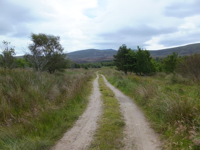
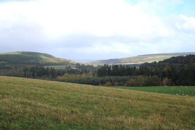
Knockandhu Wood is a picturesque woodland located in Morayshire, a region in northeastern Scotland. Covering an area of approximately 100 hectares, this enchanting forest is nestled amidst rolling hills and offers a tranquil escape for nature enthusiasts and hikers alike.
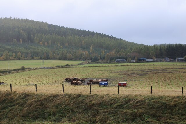
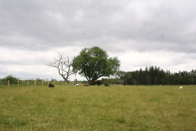
The wood is predominantly composed of native Scottish tree species, such as Scots pine, birch, and oak, which create a diverse and vibrant ecosystem. These trees provide a natural habitat for a variety of wildlife, including red squirrels, roe deer, and numerous bird species, making it a popular spot for birdwatching and wildlife spotting.
The woodland is crisscrossed by a network of well-maintained trails, allowing visitors to explore its beauty at their own pace. The paths wind through the dense forest, offering breathtaking views of the surrounding countryside and glimpses of the nearby River Spey.
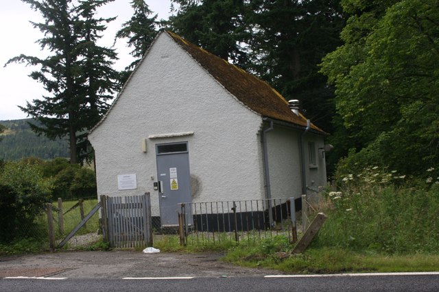
In addition to its natural wonders, Knockandhu Wood also has a rich historical significance. It is believed that the woodland has been in existence for centuries, with some areas showing signs of ancient settlement. There are also remnants of old structures, which serve as reminders of the area's past.
Knockandhu Wood is easily accessible by car, with ample parking available nearby. The forest is open to the public year-round, making it an ideal destination for outdoor activities such as hiking, picnicking, and photography. Its serene atmosphere and awe-inspiring beauty make it a must-visit location for anyone seeking a peaceful retreat in the heart of Morayshire.
If you have any feedback on the listing, please let us know in the comments section below.
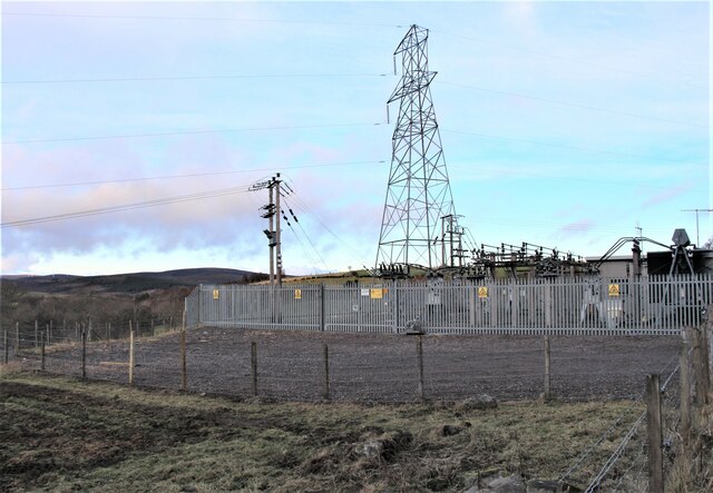
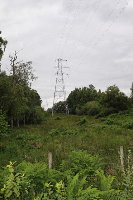
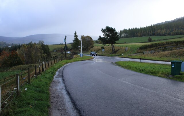
Knockandhu Wood Images
Images are sourced within 2km of 57.405403/-3.3528628 or Grid Reference NJ1835. Thanks to Geograph Open Source API. All images are credited.


Knockandhu Wood is located at Grid Ref: NJ1835 (Lat: 57.405403, Lng: -3.3528628)
Unitary Authority: Moray
Police Authority: North East
What 3 Words
///cheeses.exacts.fidelity. Near Charlestown of Aberlour, Moray
Nearby Locations
Related Wikis
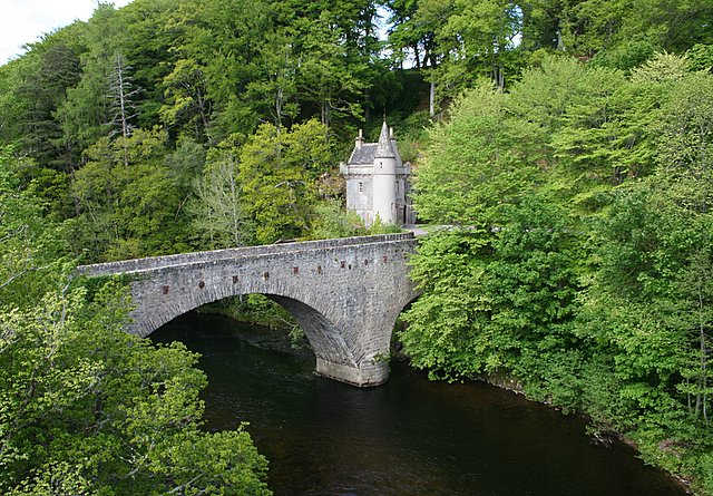
Bridge of Avon
The Bridge of Avon is a bridge over the River Avon at Ballindalloch in Moray, Scotland, built between 1800 and 1801 by George Burn. The bridge is mainly...

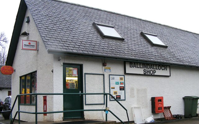
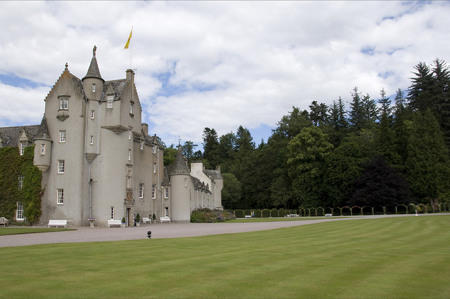
Ballindalloch
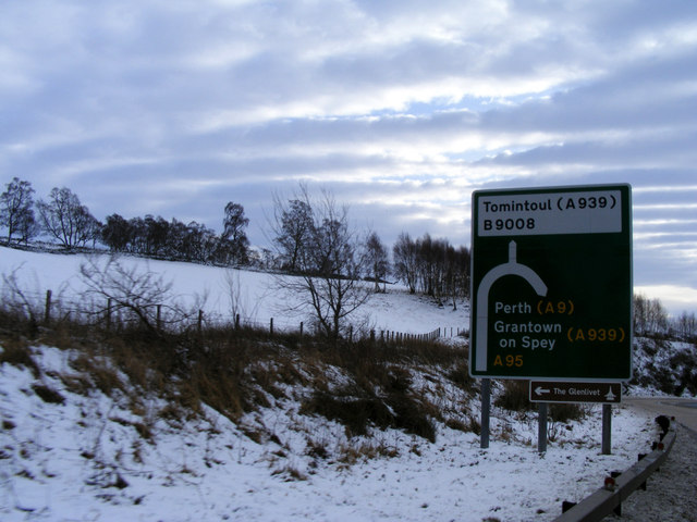
Ballindalloch (Scottish Gaelic: Baile na Dalach) is a small village on the River Spey in Scotland. It is known for its whisky distilleries and for Ballindalloch...

River Avon, Strathspey
The River Avon (locally “Aan” /ɑːn/) is a river in the Strathspey area of the Scottish Highlands, and a tributary of the River Spey. It drains the north...

Ballindalloch Railway Bridge
The Ballindalloch Railway Bridge is a former railway bridge on the crossing the River Spey at Ballindalloch in Moray, Scotland. Built in 1863 as a part...
Nearby Amenities
Located within 500m of 57.405403,-3.3528628Have you been to Knockandhu Wood?
Leave your review of Knockandhu Wood below (or comments, questions and feedback).