Birkhill Wood
Wood, Forest in Fife
Scotland
Birkhill Wood
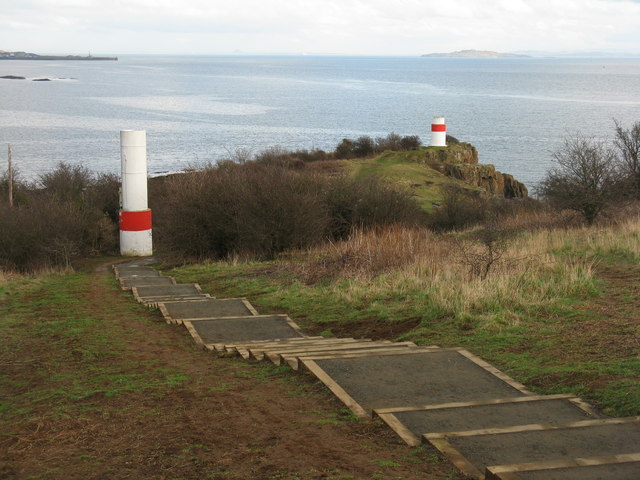
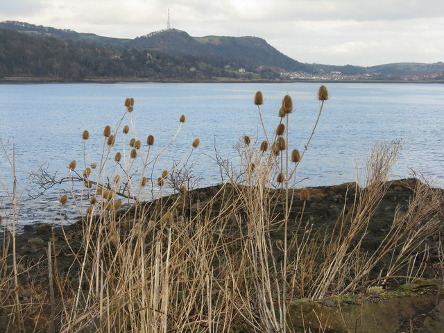
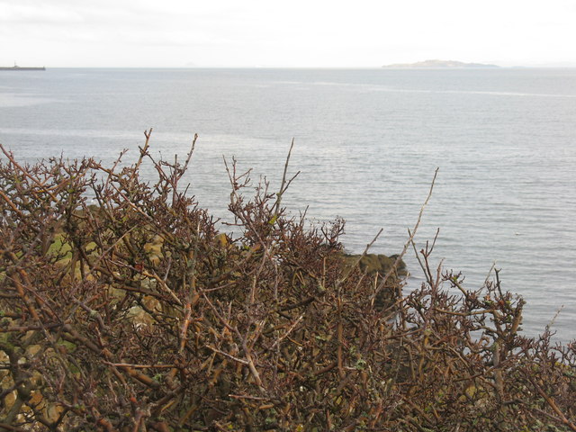
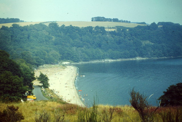
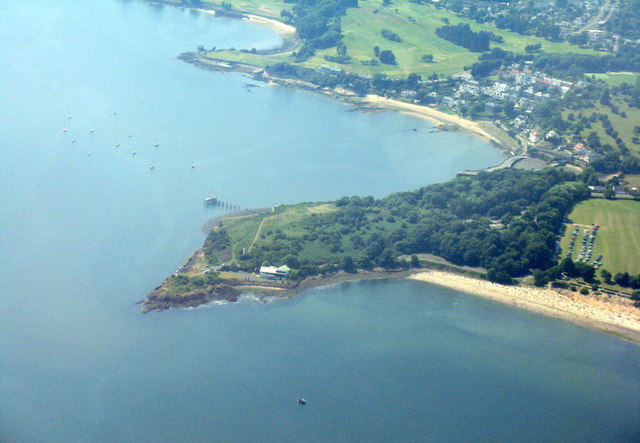
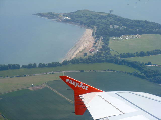
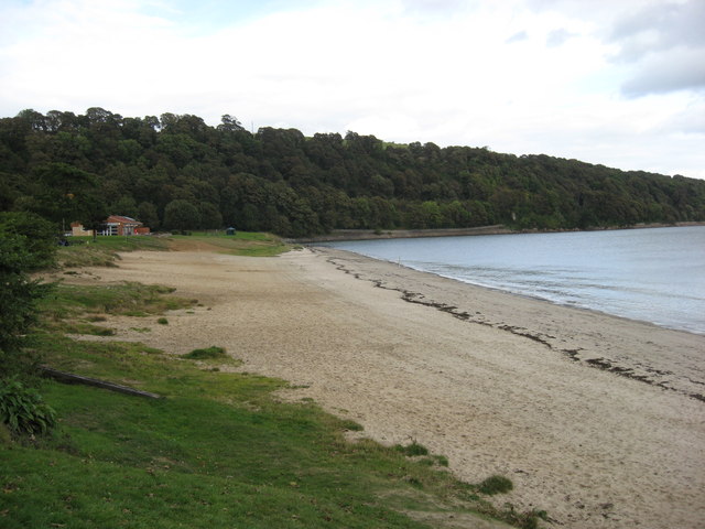
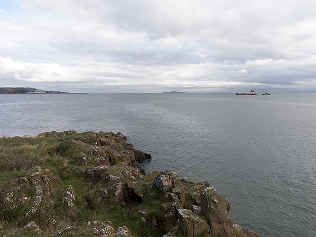
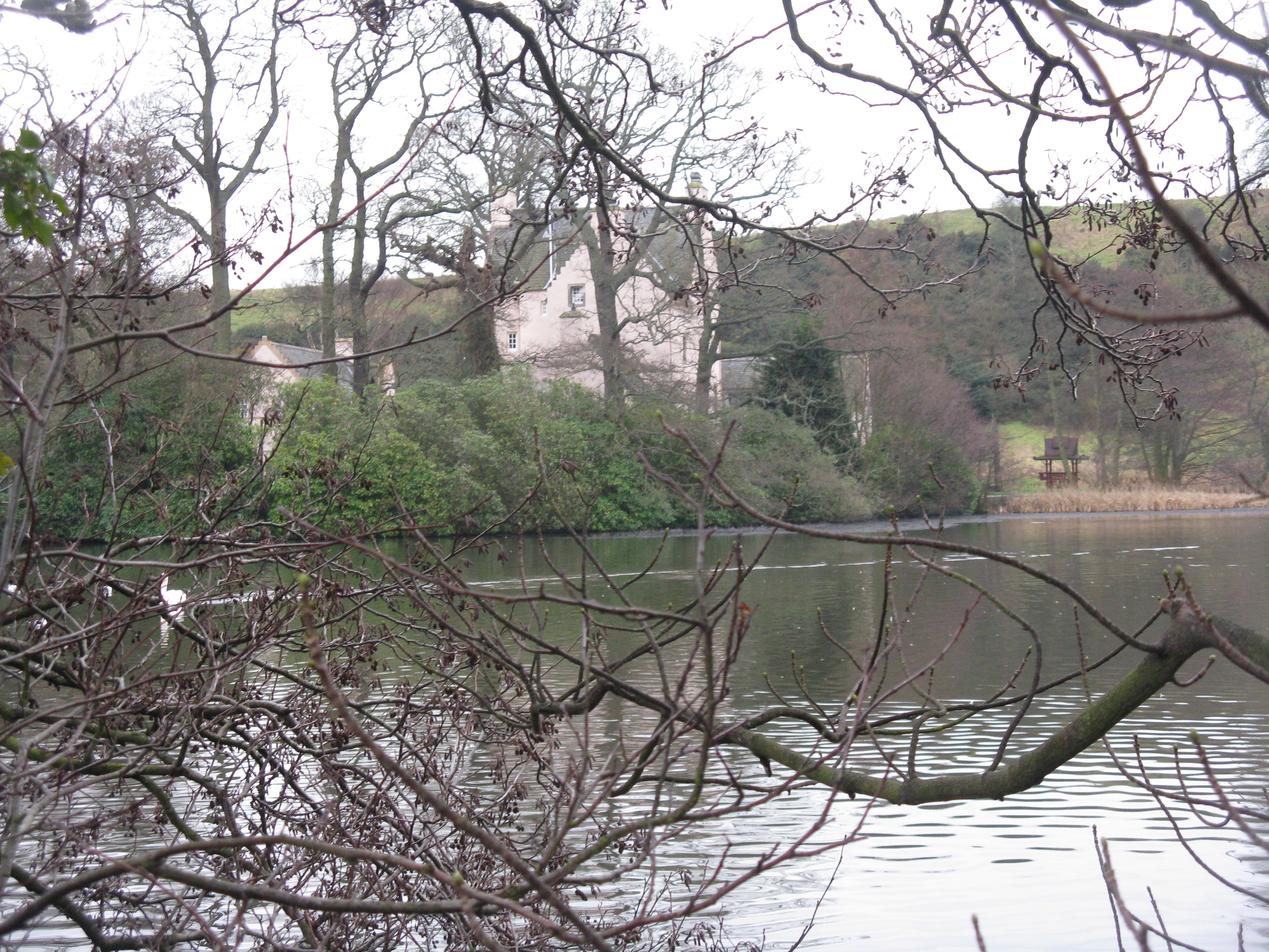
Birkhill Wood is a beautiful woodland located in Fife, Scotland. It covers an area of approximately 55 hectares and is known for its diverse range of flora and fauna. The wood is situated on the slopes of the Birkhill Hill, providing visitors with stunning views of the surrounding countryside.
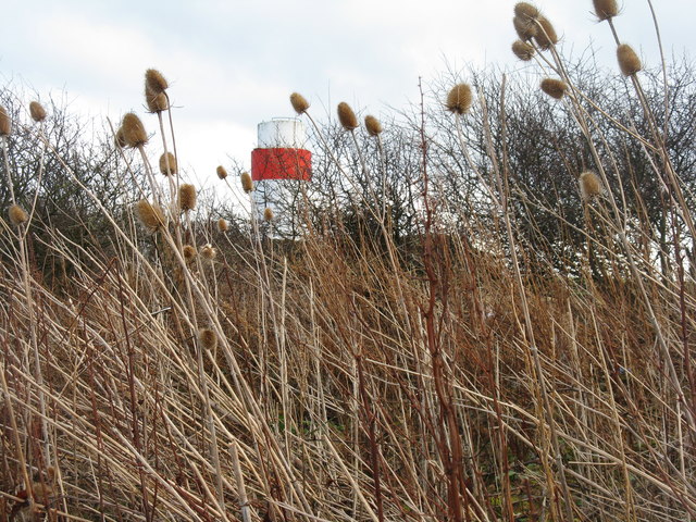
The wood is primarily composed of broadleaf trees, including oak, birch, and beech, which create a dense canopy that provides shade and protection for the forest floor. The undergrowth is rich in native wildflowers, such as bluebells and primroses, which create a vibrant carpet of colors during the spring months.
Birkhill Wood is home to a variety of wildlife, making it a popular spot for nature enthusiasts and birdwatchers. Visitors may catch a glimpse of red squirrels, roe deer, and a wide range of bird species, including woodpeckers, thrushes, and owls.
There are several well-maintained paths that wind through the wood, allowing visitors to explore the area at their own pace. These paths are suitable for walkers of all abilities, and there are also designated areas for picnicking and relaxation.
The wood has a rich history, with evidence of human activity dating back to Roman times. It is believed that Birkhill Wood was once part of the ancient Caledonian Forest, which covered much of Scotland. Today, the woodland is protected by the Woodland Trust, ensuring its preservation for future generations to enjoy.
In summary, Birkhill Wood is a captivating woodland in Fife, Scotland, offering a peaceful retreat for nature lovers. Its diverse range of trees, wildflowers, and wildlife make it a haven for biodiversity, while its walking paths provide a pleasant opportunity for exploration and relaxation.
If you have any feedback on the listing, please let us know in the comments section below.
Birkhill Wood Images
Images are sourced within 2km of 56.053543/-3.3146069 or Grid Reference NT1885. Thanks to Geograph Open Source API. All images are credited.


Birkhill Wood is located at Grid Ref: NT1885 (Lat: 56.053543, Lng: -3.3146069)
Unitary Authority: Fife
Police Authority: Fife
What 3 Words
///fists.speaker.replaying. Near Aberdour, Fife
Nearby Locations
Related Wikis
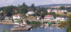
Aberdour
Aberdour ( ; Scots: , Scottish Gaelic: Obar Dobhair) is a scenic and historic village on the south coast of Fife, Scotland. It is on the north shore of...

Aberdour railway station
Aberdour railway station is a railway station in the village of Aberdour, Fife, Scotland. The station is managed by ScotRail and is on the Fife Circle...
Couston Castle
Couston Castle is an L-plan tower house dating from the late sixteenth or early seventeenth centuries, just north east of Dalgety Bay, at the edge of Otterston...

St Bridget's Kirk
St. Bridget's Kirk is a ruined church on the outskirts of Dalgety Bay, Fife, Scotland. It is a shell of a medieval church, dating back at least as far...
Nearby Amenities
Located within 500m of 56.053543,-3.3146069Have you been to Birkhill Wood?
Leave your review of Birkhill Wood below (or comments, questions and feedback).