Garline Wood
Wood, Forest in Banffshire
Scotland
Garline Wood
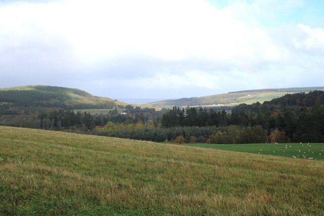
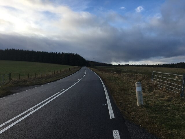
Garline Wood is a picturesque forest located in Banffshire, Scotland. Spanning over a vast area, this woodland is known for its rich natural beauty and diverse ecosystem. The forest is named after the Garline Burn, a small river that meanders through the wood, adding to its charm.
The Wood is home to a variety of tree species, including oak, birch, and pine, which create a dense canopy and provide a habitat for numerous wildlife species. The forest floor is adorned with a vibrant carpet of mosses, ferns, and wildflowers, offering a breathtaking sight to visitors.
The tranquil atmosphere of Garline Wood makes it a haven for outdoor enthusiasts and nature lovers. There are several walking trails that wind through the forest, offering a chance to explore its hidden gems. These trails vary in difficulty, catering to both casual walkers and experienced hikers.
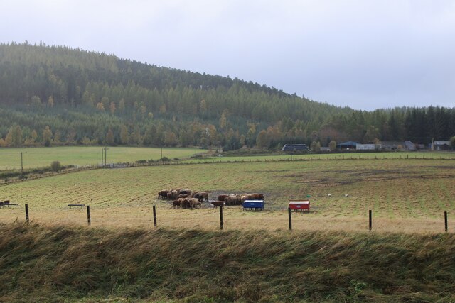
Birdwatchers will delight in the diverse avian population that calls Garline Wood home. From songbirds to birds of prey, the forest provides a sanctuary for a wide range of species. Lucky visitors may even catch a glimpse of the elusive red squirrel or deer that roam freely within the woodland.
Garline Wood is also steeped in history, with remnants of old stone walls and ruins scattered throughout the forest. These remnants serve as a reminder of the area's past and add an element of intrigue to the overall experience.
Overall, Garline Wood in Banffshire is a captivating destination that offers a serene escape into nature's embrace. Its beauty, biodiversity, and historical significance make it a must-visit for those seeking tranquility and adventure.
If you have any feedback on the listing, please let us know in the comments section below.
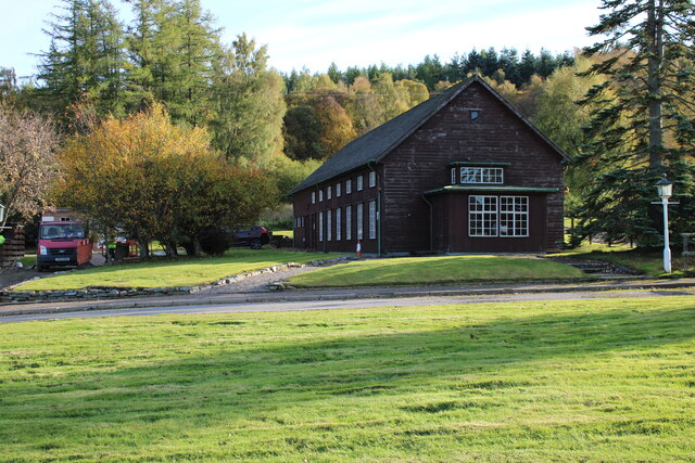
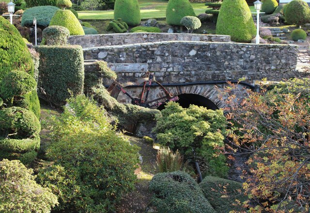
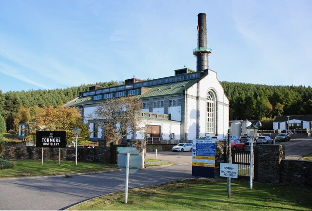
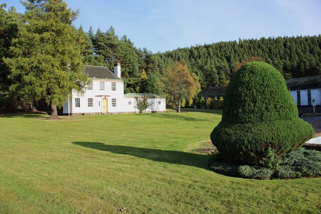
Garline Wood Images
Images are sourced within 2km of 57.405267/-3.3868455 or Grid Reference NJ1635. Thanks to Geograph Open Source API. All images are credited.


Garline Wood is located at Grid Ref: NJ1635 (Lat: 57.405267, Lng: -3.3868455)
Unitary Authority: Moray
Police Authority: North East
What 3 Words
///joined.breaches.youngest. Near Charlestown of Aberlour, Moray
Nearby Locations
Related Wikis

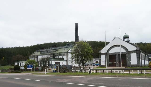
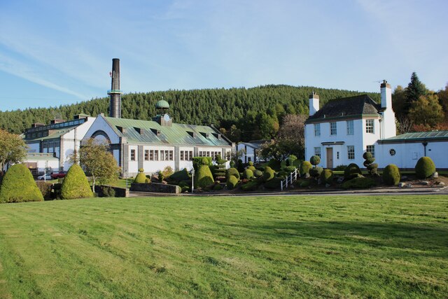
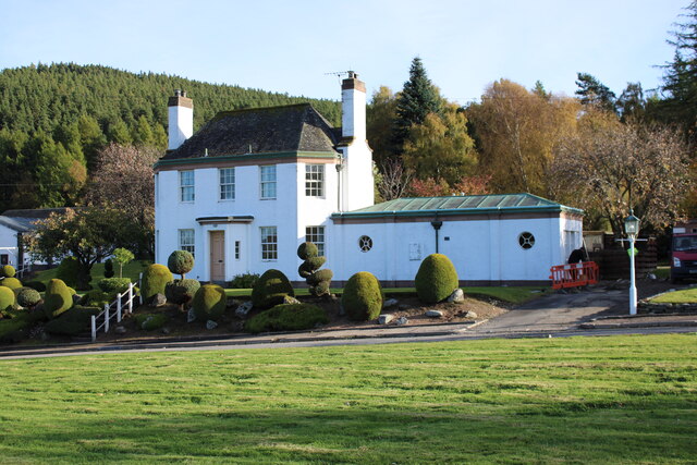
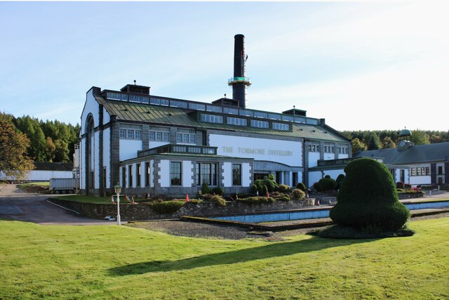
Cragganmore distillery
Cragganmore distillery is a Scotch whisky distillery situated in the village of Ballindalloch in Banffshire, Scotland. == History == The distillery was...

Ballindalloch railway station
Ballindalloch railway station served the village of Ballindalloch, Banffshire, Scotland from 1863 to 1965 on the Strathspey Railway. == History == The...

Ballindalloch Railway Bridge
The Ballindalloch Railway Bridge is a former railway bridge on the crossing the River Spey at Ballindalloch in Moray, Scotland. Built in 1863 as a part...

River Avon, Strathspey
The River Avon (locally “Aan” /ɑːn/) is a river in the Strathspey area of the Scottish Highlands, and a tributary of the River Spey. It drains the north...
Nearby Amenities
Located within 500m of 57.405267,-3.3868455Have you been to Garline Wood?
Leave your review of Garline Wood below (or comments, questions and feedback).