Harmeny Wood

Wood, Forest in Midlothian

Scotland

Harmeny Wood

A sad site/sight Property at Balerno, on the 'bends' on the A70, as one leaves Balerno, which has appeared to have been abandoned for some years, looks as if something is happening at last.
A sad site/sight Credit: M J Richardson

Harmeny Wood is a picturesque woodland area located in Midlothian, Scotland. Spanning over 300 acres, it is a significant natural asset in the region. The wood is situated around 10 miles southwest of Edinburgh, making it easily accessible for both locals and tourists.

This enchanting forest is home to a diverse range of flora and fauna, making it an ideal destination for nature lovers and wildlife enthusiasts. The wood boasts a variety of tree species, including oak, beech, sycamore, and birch, which create a stunning canopy of colors throughout the year. The forest floor is adorned with a carpet of wildflowers, adding to its natural beauty.

Harmeny Wood offers several walking trails that wind through its dense foliage, giving visitors the opportunity to explore and immerse themselves in the peaceful surroundings. These paths cater to all fitness levels, ranging from gentle strolls to more challenging hikes. The trails are well-maintained and clearly marked, ensuring a safe and enjoyable experience for all.

Birdwatchers will be delighted to know that the wood is a haven for various bird species. From buzzards and owls to woodpeckers and finches, the forest provides a perfect habitat for these feathered creatures. Additionally, it is not uncommon to spot roe deer and red squirrels darting among the trees.

Overall, Harmeny Wood is a haven of tranquility and natural beauty. It offers a welcome escape from the hustle and bustle of city life, allowing visitors to reconnect with nature and enjoy the peacefulness and serenity of this wonderful woodland.

If you have any feedback on the listing, please let us know in the comments section below.

Harmeny Wood Images

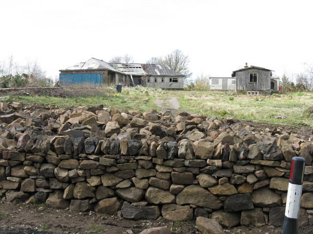
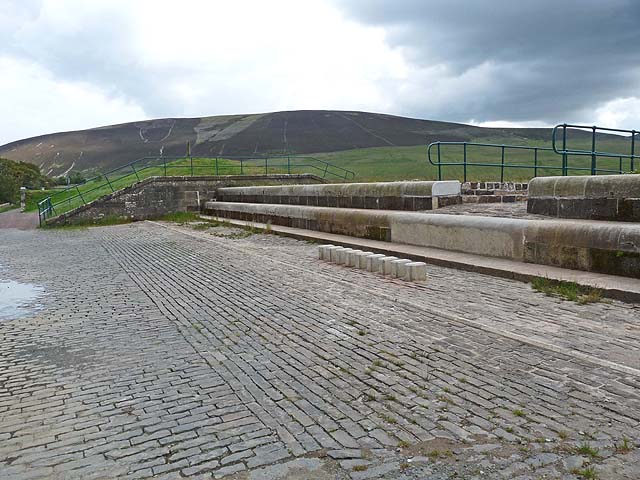
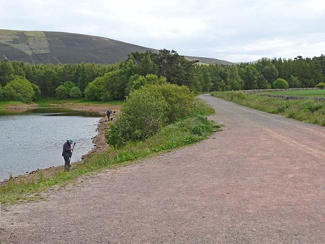
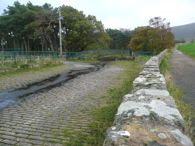
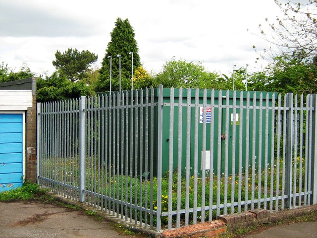
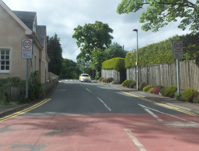
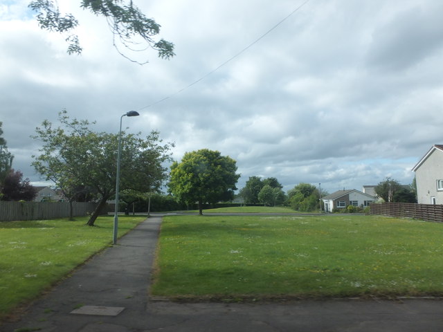
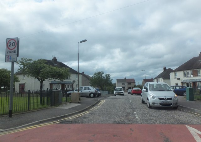
Images are sourced within 2km of 55.878671/-3.3332585 or Grid Reference NT1665. Thanks to Geograph Open Source API. All images are credited.

A sad site/sight Property at Balerno, on the 'bends' on the A70, as one leaves Balerno, which has appeared to have been abandoned for some years, looks as if something is happening at last.
A sad site/sight
Property at Balerno, on the 'bends' on the A70, as one leaves Balerno, which has appeared to have been abandoned for some years, looks as if something is happening at last.
Spillway at Threipmuir Reservoir The spillway carries surplus water from Threipmuir Reservoir down into Harlaw Reservoir, as part of a system to control flows in the Water of Leith. The level of water in the reservoir at the time of the photograph was a long way below that required to bring the spillway into operation.

Black Hill <a href="https://www.geograph.org.uk/gridref/NT1863">NT1863</a> beyond.
Spillway at Threipmuir Reservoir
The spillway carries surplus water from Threipmuir Reservoir down into Harlaw Reservoir, as part of a system to control flows in the Water of Leith. The level of water in the reservoir at the time of the photograph was a long way below that required to bring the spillway into operation. Black Hill NT1863 beyond.
Pine trees beside Harlaw Reservoir Black Hill <a href="https://www.geograph.org.uk/gridref/NT1863">NT1863</a> beyond.
Pine trees beside Harlaw Reservoir
Black Hill NT1863 beyond.
Path beside Harlaw Reservoir Showing the north-west corner of Harlaw Reservoir, a popular spot for anglers. The path round the Reservoir is frequented by walkers and cyclists.

Black Hill <a href="https://www.geograph.org.uk/gridref/NT1863">NT1863</a> beyond.
Path beside Harlaw Reservoir
Showing the north-west corner of Harlaw Reservoir, a popular spot for anglers. The path round the Reservoir is frequented by walkers and cyclists. Black Hill NT1863 beyond.
Inlet on Harlaw Reservoir A stream enters the reservoir at its easternmost point.
Inlet on Harlaw Reservoir
A stream enters the reservoir at its easternmost point.
Control valve on Harlaw Reservoir Bridge out from  Harlaw Reservoir dam to the control mechanism.  An angler fishes from the foot of the dam.

West Kip <a href="https://www.geograph.org.uk/gridref/NT1760">NT1760</a> in the Pentland Hills can be seen on the skyline.
Control valve on Harlaw Reservoir
Bridge out from Harlaw Reservoir dam to the control mechanism. An angler fishes from the foot of the dam. West Kip NT1760 in the Pentland Hills can be seen on the skyline.
Gabions by Harlaw Reservoir Adjoining the eastern end of the dam.
Gabions by Harlaw Reservoir
Adjoining the eastern end of the dam.
Harlaw Reservoir outflows Banks supported by gabions.
Harlaw Reservoir outflows
Banks supported by gabions.
Spillway and bridge between Threipmuir and Harlaw Reservoirs These two reservoirs were completed in the mid-19th century as a water supply for Edinburgh. Nowadays they provides essential upstream flood storage to prevent flooding of the Water of Leith, but are no longer used for water supply.
Spillway and bridge between Threipmuir and Harlaw Reservoirs
These two reservoirs were completed in the mid-19th century as a water supply for Edinburgh. Nowadays they provides essential upstream flood storage to prevent flooding of the Water of Leith, but are no longer used for water supply.
Through the trees to Harlaw Reservoir Threipmuir and Harlaw Reservoirs were completed in 1848 as a water supply for Edinburgh. Nowadays these reservoirs provide essential upstream flood storage to prevent flooding of the Water of Leith, but are no longer used for water supply.
Through the trees to Harlaw Reservoir
Threipmuir and Harlaw Reservoirs were completed in 1848 as a water supply for Edinburgh. Nowadays these reservoirs provide essential upstream flood storage to prevent flooding of the Water of Leith, but are no longer used for water supply.
Fishermen, Harlaw Reservoir
Harlaw Reservoir Spillway
Gas distribution site
Newmills Road To the northwest of the A70.
Newmills Road
To the northwest of the A70.
Walkway to Cherry Tree Park
Stewart Road, Currie
Dolphin Avenue
Dolphin Avenue
Currie Rugby Football Club Situated near Malleny House in Balerno.  (Currie is the neighbouring village to the northeast.)
Currie Rugby Football Club
Situated near Malleny House in Balerno. (Currie is the neighbouring village to the northeast.)
Show me another place!

Harmeny Wood is located at Grid Ref: NT1665 (Lat: 55.878671, Lng: -3.3332585)

Unitary Authority: City of Edinburgh

Police Authority: Edinburgh

What 3 Words

///factor.stack.loud. Near Balerno, Edinburgh

Related Wikis

Malleny House and Garden

The Malleny House and Garden is an historic house and garden owned by the National Trust for Scotland in Balerno, 6 mi (9.7 km) southwest of Edinburgh...

Balerno

Balerno (; Scottish Gaelic: Baile Àirneag, Scottish Gaelic pronunciation [ˈpaləˈaːrˠnək];; Scots: Balerno or Balernie) is a village on the outskirts of...

Water of Leith Walkway

The Water of Leith Walkway is a public footpath and cycleway that runs alongside the river of the same name through Edinburgh, Scotland, from Balerno to...

Balerno Community High School

Balerno High School is a six-year secondary school located in Balerno, a suburb of Edinburgh, Scotland. The school stands on the banks of the Water of...

Nearby Amenities

Located within 500m of 55.878671,-3.3332585
Give Way
Direction: forward
Lat/Long: 55.8815816/-3.3393408
Give Way
Direction: forward
Lat/Long: 55.876653/-3.3374234
Bus Stop
Cockburn Crescent
Bin: yes
Bus: yes
Naptan AdministrativeAreaCode: 124
Naptan Area Name: Edinburgh
Naptan AtcoAreaCode: 620
Naptan AtcoCode: 6200200010
Naptan Bearing: W
Naptan CommonName: Cockburn Crescent
Naptan Indicator: at
Naptan Landmark: Mansfield Road
Naptan LocalityName: Balerno
Naptan NaptanCode: 36234964
Naptan NptgLocalityCode: ES000233
Naptan PlusbusZoneRef: EDINBUR
Naptan SourceLocalityType: U
Naptan Street: Cockburn Crescent
Naptan Verified: yes
Public Transport: platform
Shelter: yes
Source: NaPTAN + Survey
Lat/Long: 55.8765815/-3.3374755
Post Box
Collection Times: Mo-Fr 17:15; Sa 12:00
Operator: Royal Mail
Post Box Type: lamp
Ref: EH14 297
Royal Cypher: scottish_crown
Lat/Long: 55.8792347/-3.3386962
Passing Place
Lat/Long: 55.8746878/-3.3348948
Traffic Calming: bump
Lat/Long: 55.875981/-3.3313067
Passing Place
Lat/Long: 55.8763716/-3.3292852
Telephone
Share Box
Booth: K6
Covered: booth
Man Made: telephone_box
Operator: Balerno Village Trust
Website: http://www.balernovt.org.uk/red-phone-box/
Lat/Long: 55.8779166/-3.3305471
Post Box
Post Box Type: wall
Ref: EH14 584
Royal Cypher: GR
Royal Cypher Wikidata: Q33102273
Lat/Long: 55.8779241/-3.330581
Bus Stop
Marchbank Drive
Bin: yes
Bus: yes
Naptan AdministrativeAreaCode: 124
Naptan Area Name: Edinburgh
Naptan AtcoAreaCode: 620
Naptan AtcoCode: 6200200020
Naptan Bearing: N
Naptan CommonName: Marchbank Drive
Naptan Indicator: after
Naptan Landmark: opp 24 Marchbank Road
Naptan LocalityName: Balerno
Naptan NaptanCode: 36234954
Naptan NptgLocalityCode: ES000233
Naptan PlusbusZoneRef: EDINBUR
Naptan SourceLocalityType: U
Naptan StopAreaCode: 620G200020
Naptan StopAreaType: GPBS
Naptan StopArea Name: BALERNO Marchbank Drive
Naptan Street: Mansfield Road
Naptan Verified: yes
Public Transport: platform
Shelter: yes
Source: NaPTAN + Survey
Lat/Long: 55.8798394/-3.3390463
Bus Stop
Marchbank Drive
Bus: yes
Naptan AdministrativeAreaCode: 124
Naptan Area Name: Edinburgh
Naptan AtcoAreaCode: 620
Naptan AtcoCode: 6200249990
Naptan Bearing: S
Naptan CommonName: Marchbank Drive
Naptan Indicator: opp
Naptan Landmark: Malleny Avenue
Naptan LocalityName: Balerno
Naptan NaptanCode: 36234953
Naptan NptgLocalityCode: ES000233
Naptan PlusbusZoneRef: EDINBUR
Naptan SourceLocalityType: U
Naptan StopAreaCode: 620G200020
Naptan StopAreaType: GPBS
Naptan StopArea Name: BALERNO Marchbank Drive
Naptan Street: Mansfield Road
Naptan Verified: yes
Public Transport: platform
Source: NaPTAN + Survey
Lat/Long: 55.8788571/-3.3382202
Traffic Calming: bump
Lat/Long: 55.8770634/-3.3296192
Give Way
Direction: backward
Lat/Long: 55.8768069/-3.3370026
Generator Method: photovoltaic
Generator Output Electricity: yes
Generator Source: solar
Generator Type: solar_photovoltaic_panel
Power: generator
Lat/Long: 55.8801039/-3.3387242
Generator Method: photovoltaic
Generator Output Electricity: yes
Generator Source: solar
Generator Type: solar_photovoltaic_panel
Power: generator
Lat/Long: 55.8795727/-3.3383595
Waste Basket
Lat/Long: 55.8802768/-3.3357815
Grit Bin
Lat/Long: 55.8802949/-3.3357587
Give Way
Direction: forward
Lat/Long: 55.8802761/-3.3358902
Addr City: Balerno
Addr Housenumber: 15
Addr Street: Harlaw Road
Lat/Long: 55.8804467/-3.3360569
Addr City: Balerno
Addr Housenumber: 11A
Addr Street: Harlaw Road
Lat/Long: 55.88092/-3.3362301
Addr City: Balerno
Addr Housenumber: 3
Addr Street: Harlaw Road
Lat/Long: 55.8807078/-3.3362784
Barrier: kerb
Lat/Long: 55.8808397/-3.3370902
Addr City: Balerno
Addr Housenumber: 10
Addr Street: Harlaw Road
Lat/Long: 55.880993/-3.3378174
Addr City: Balerno
Addr Housenumber: 6
Addr Street: Harlaw Road
Lat/Long: 55.881153/-3.3383374
Give Way
Direction: backward
Lat/Long: 55.8812688/-3.3383163
Addr City: Balerno
Addr Housenumber: 4
Addr Street: Harlaw Road
Lat/Long: 55.8813181/-3.3388711
Addr City: Balerno
Addr Housenumber: 79
Addr Street: Bavelaw Road
Lat/Long: 55.8817741/-3.3390471
Addr City: Balerno
Addr Housenumber: 77
Addr Street: Bavelaw Road
Lat/Long: 55.8817115/-3.3387904
Addr City: Balerno
Addr Housenumber: 75
Addr Street: Bavelaw Road
Lat/Long: 55.8816424/-3.3386741
Addr City: Balerno
Addr Housenumber: 73
Addr Street: Bavelaw Road
Lat/Long: 55.8815761/-3.3384764
Addr City: Balerno
Addr Housenumber: 71
Addr Street: Bavelaw Road
Lat/Long: 55.8815189/-3.3383069
Addr City: Balerno
Addr Housenumber: 69
Addr Street: Bavelaw Road
Lat/Long: 55.881638/-3.3381721
Addr City: Balerno
Addr Housenumber: 67
Addr Street: Bavelaw Road
Lat/Long: 55.8817407/-3.3383375
Addr City: Balerno
Addr Housenumber: 65
Addr Street: Bavelaw Road
Lat/Long: 55.8817683/-3.3384033
Addr City: Balerno
Addr Housenumber: 63
Addr Street: Bavelaw Road
Lat/Long: 55.8819415/-3.3386054
Addr City: Balerno
Addr Housenumber: 31
Addr Street: Malleny Millgate
Lat/Long: 55.8767188/-3.3303073
Addr City: Balerno
Addr Housenumber: 33
Addr Street: Malleny Millgate
Lat/Long: 55.8769511/-3.3304314
Addr City: Balerno
Addr Housenumber: 35
Addr Street: Malleny Millgate
Lat/Long: 55.8770917/-3.3302675
Traffic Calming: bump
Lat/Long: 55.8768994/-3.3299066
Addr City: Balerno
Addr Housenumber: 37
Addr Street: Malleny Millgate
Lat/Long: 55.8770588/-3.3299051
Addr City: Balerno
Addr Housenumber: 40A
Addr Street: Harlaw Road
Lat/Long: 55.8768981/-3.3260405
Addr City: Balerno
Addr Housenumber: 36
Addr Street: Harlaw Road
Lat/Long: 55.8771642/-3.3277622
Addr City: Balerno
Addr Housename: Carrick
Addr Housenumber: 38A
Addr Street: Harlaw Road
Lat/Long: 55.8771026/-3.3273265
Addr City: Balerno
Addr Housename: Millburn Cottage
Addr Housenumber: 38
Addr Street: Harlaw Road
Lat/Long: 55.8770233/-3.3268894
Addr City: Balerno
Addr Housename: Millbank Cottage
Addr Housenumber: 30
Addr Street: Harlaw Road
Lat/Long: 55.8774881/-3.3289985
Addr City: Balerno
Addr Housenumber: 34
Addr Street: Harlaw Road
Lat/Long: 55.877309/-3.3283161
Addr City: Balerno
Addr Housename: Millbank
Addr Housenumber: 28
Addr Street: Harlaw Road
Lat/Long: 55.8775612/-3.3296115
Addr City: Balerno
Addr Housenumber: 26B
Addr Street: Harlaw Road
Lat/Long: 55.8777763/-3.3301395
Addr City: Balerno
Addr Housenumber: 26A
Addr Street: Harlaw Road
Lat/Long: 55.8777869/-3.3304536
Addr City: Balerno
Addr Housenumber: 26
Addr Street: Harlaw Road
Lat/Long: 55.8778619/-3.3306388
Addr City: Balerno
Addr Housenumber: 24A
Addr Street: Harlaw Road
Lat/Long: 55.8779174/-3.3308895
Addr City: Balerno
Addr Housenumber: 24
Addr Street: Harlaw Road
Lat/Long: 55.878059/-3.3312013
Addr City: Balerno
Addr Housenumber: 22
Addr Street: Harlaw Road
Lat/Long: 55.8782175/-3.3313592
Addr City: Balerno
Addr Housename: Easter Bower
Addr Housenumber: 20a
Addr Street: Harlaw Road
Lat/Long: 55.8781612/-3.331676
Addr City: Balerno
Addr Housenumber: 99
Addr Street: Harlaw Road
Lat/Long: 55.877779/-3.3292282
Addr City: Balerno
Addr Housenumber: 97
Addr Street: Harlaw Road
Lat/Long: 55.8777504/-3.3292547
Addr City: Balerno
Addr Housenumber: 95
Addr Street: Harlaw Road
Lat/Long: 55.8778252/-3.3295017
Addr City: Balerno
Addr Housenumber: 93
Addr Street: Harlaw Road
Lat/Long: 55.877856/-3.3294733
Addr City: Balerno
Addr Housenumber: 91
Addr Street: Harlaw Road
Lat/Long: 55.8778892/-3.3295787
Addr City: Balerno
Addr Housenumber: 89
Addr Street: Harlaw Road
Lat/Long: 55.877856/-3.3296105
Addr City: Balerno
Addr Housenumber: 87
Addr Street: Harlaw Road
Lat/Long: 55.877928/-3.3298434
Addr City: Balerno
Addr Housenumber: 85
Addr Street: Harlaw Road
Lat/Long: 55.8779586/-3.3298141
Addr City: Balerno
Addr Housenumber: 83
Addr Street: Harlaw Road
Lat/Long: 55.8779906/-3.329916
Addr City: Balerno
Addr Housenumber: 81
Addr Street: Harlaw Road
Lat/Long: 55.8779613/-3.3299431
Addr City: Balerno
Addr Housenumber: 77
Addr Street: Harlaw Road
Lat/Long: 55.8780626/-3.3301569
Addr City: Balerno
Addr Housenumber: 79
Addr Street: Harlaw Road
Lat/Long: 55.8780245/-3.3301931
Addr City: Balerno
Addr Housenumber: 71
Addr Street: Harlaw Road
Lat/Long: 55.8782473/-3.330759
Addr City: Balerno
Addr Housenumber: 69
Addr Street: Harlaw Road
Lat/Long: 55.8782724/-3.3307194
Addr City: Balerno
Addr Housenumber: 75
Addr Street: Harlaw Road
Lat/Long: 55.8781755/-3.3305213
Addr City: Balerno
Addr Housenumber: 73
Addr Street: Harlaw Road
Lat/Long: 55.8781482/-3.3305641
Addr City: Balerno
Addr Housenumber: 67
Addr Street: Harlaw Road
Lat/Long: 55.8783016/-3.3308204
Addr City: Balerno
Addr Housenumber: 65
Addr Street: Harlaw Road
Lat/Long: 55.8782871/-3.3308427
Location: outdoor
Power: substation
Substation: minor_distribution
Lat/Long: 55.8783288/-3.3301684
Addr City: Balerno
Addr Housenumber: 61
Addr Street: Harlaw Road
Lat/Long: 55.8783437/-3.3310528
Addr City: Balerno
Addr Housenumber: 59
Addr Street: Harlaw Road
Lat/Long: 55.8784441/-3.3310693
Addr City: Balerno
Addr Housenumber: 57
Addr Street: Harlaw Road
Lat/Long: 55.8784246/-3.3310985
Addr City: Balerno
Addr Housenumber: 55
Addr Street: Harlaw Road
Lat/Long: 55.87852/-3.3312905
Addr City: Balerno
Addr Housenumber: 53
Addr Street: Harlaw Road
Lat/Long: 55.8785393/-3.3312615
Addr City: Balerno
Addr Housenumber: 51
Addr Street: Harlaw Road
Lat/Long: 55.8785806/-3.3313738
Addr City: Balerno
Addr Housenumber: 49
Addr Street: Harlaw Road
Lat/Long: 55.878559/-3.3313935
Addr City: Balerno
Addr Housenumber: 47
Addr Street: Harlaw Road
Lat/Long: 55.8786199/-3.33164
Addr City: Balerno
Addr Housenumber: 45
Addr Street: Harlaw Road
Lat/Long: 55.8786486/-3.3316138
Addr City: Balerno
Addr Housenumber: 43
Addr Street: Harlaw Road
Lat/Long: 55.8786679/-3.3316827
Addr City: Balerno
Addr Housenumber: 41
Addr Street: Harlaw Road
Lat/Long: 55.8786408/-3.3317065
Addr City: Balerno
Addr Housenumber: 37
Addr Street: Harlaw Road
Lat/Long: 55.8787334/-3.3319187
Addr City: Balerno
Addr Housenumber: 39
Addr Street: Harlaw Road
Lat/Long: 55.8787029/-3.3319454
Addr City: Balerno
Addr Housenumber: 20
Addr Street: Harlaw Road
Lat/Long: 55.8784449/-3.3320537
Addr City: Balerno
Addr Housenumber: 35
Addr Street: Harlaw Road
Lat/Long: 55.8787336/-3.3320499
Addr City: Balerno
Addr Housenumber: 33
Addr Street: Harlaw Road
Lat/Long: 55.8787324/-3.3321576
Addr City: Balerno
Addr Housenumber: 31
Addr Street: Harlaw Road
Lat/Long: 55.8788233/-3.3323568
Addr City: Balerno
Addr Housenumber: 29
Addr Street: Harlaw Road
Lat/Long: 55.8787727/-3.3323057
Addr City: Balerno
Addr Housenumber: 27
Addr Street: Harlaw Road
Level: 1
Lat/Long: 55.8788318/-3.3323934
Addr City: Balerno
Addr Housenumber: 25
Addr Street: Harlaw Road
Lat/Long: 55.8788279/-3.332502
Addr City: Balerno
Addr Housenumber: 21
Addr Street: Harlaw Road
Lat/Long: 55.8788674/-3.3326457
Addr City: Balerno
Addr Housenumber: 23
Addr Street: Harlaw Road
Level: 1
Lat/Long: 55.8789202/-3.3327028
Information: board
Tourism: information
Lat/Long: 55.8789852/-3.3337954
Power: pole
Lat/Long: 55.8745284/-3.3359706
The data included in this document is from www.openstreetmap.org. The data is made available under ODbL.

Have you been to Harmeny Wood?

Leave your review of Harmeny Wood below (or comments, questions and feedback).