Cat Hole
Settlement in Flintshire
Wales
Cat Hole
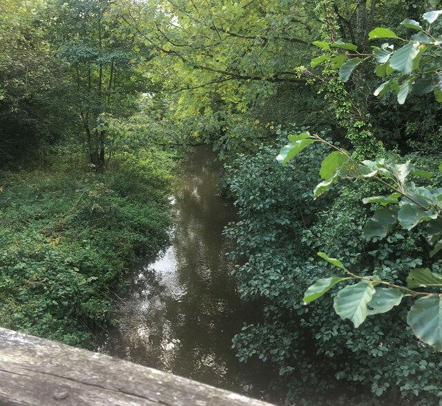
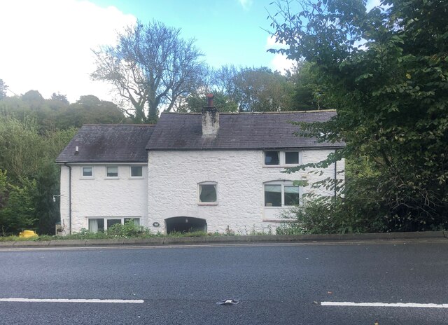
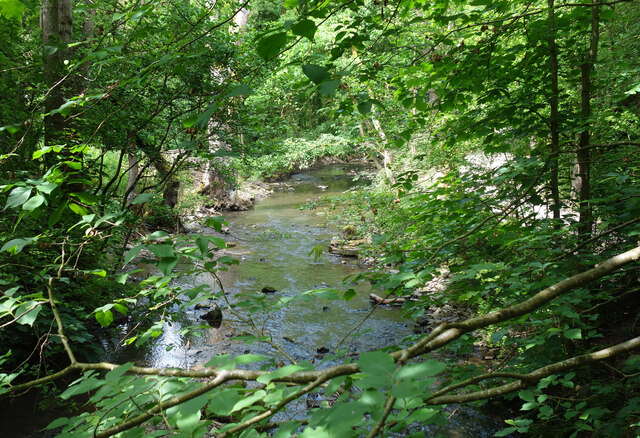
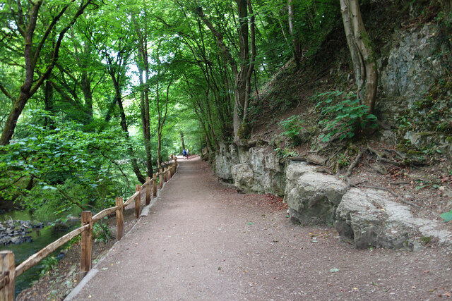
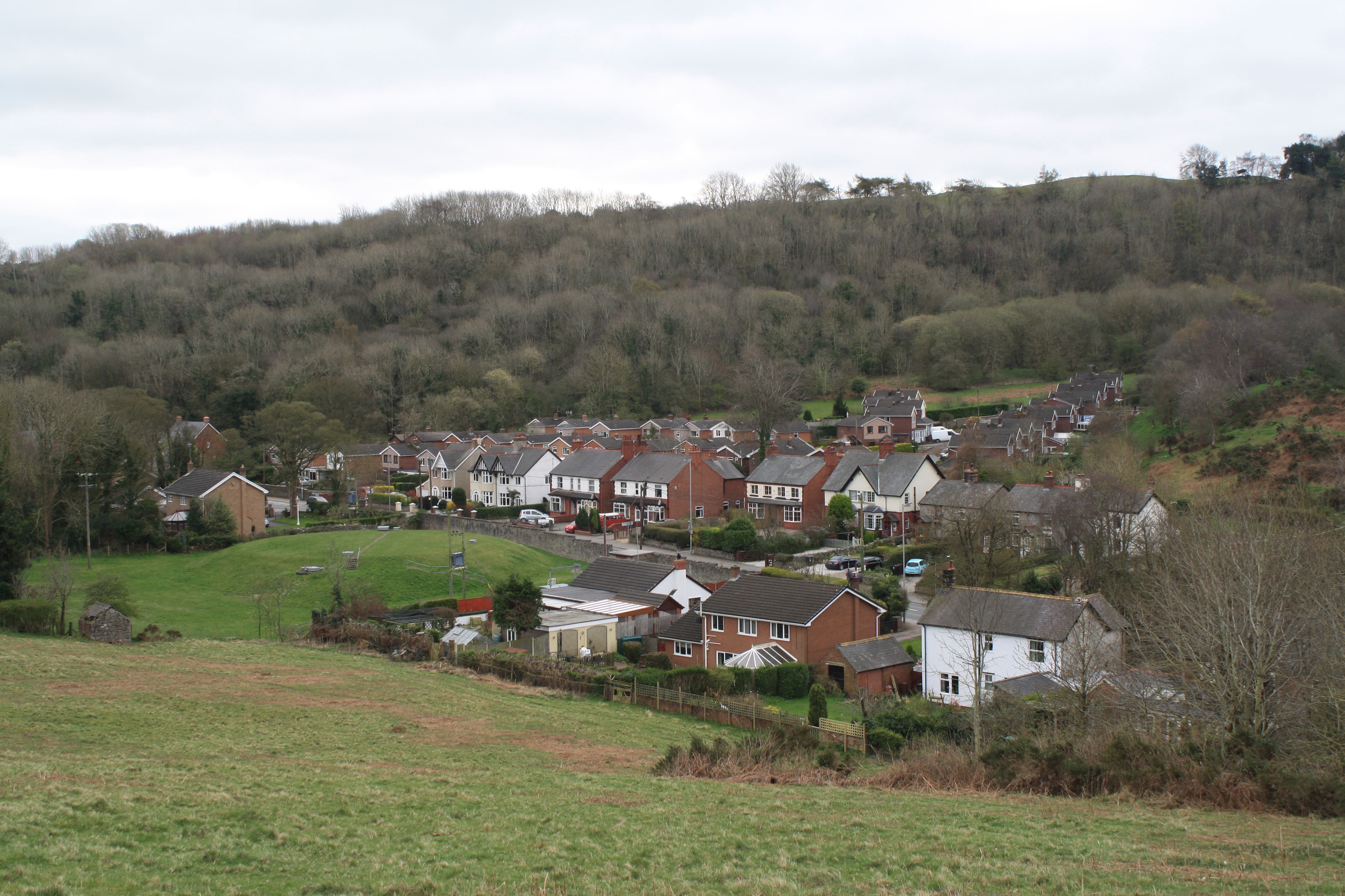
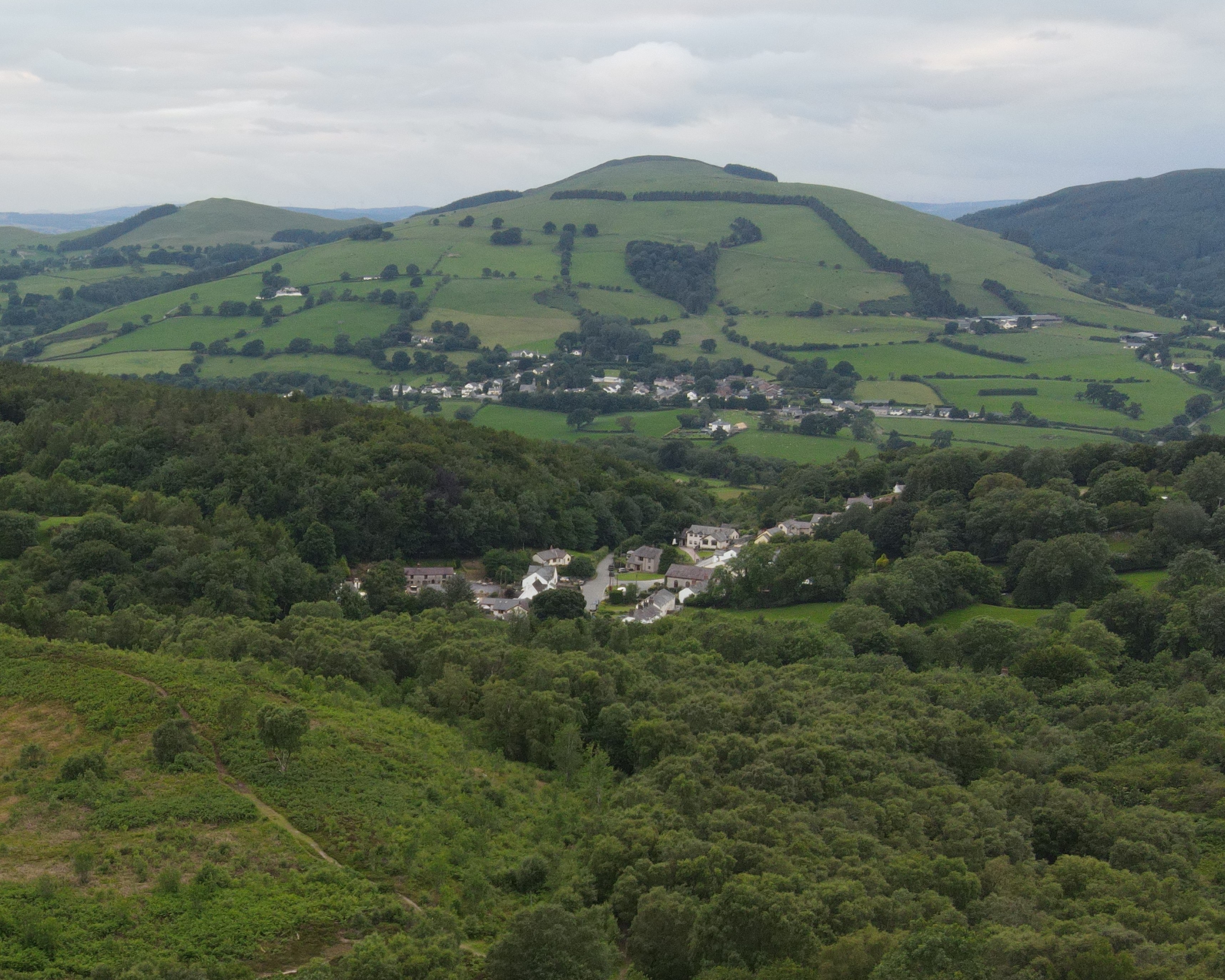
Cat Hole is a small village located in Flintshire, a county in northeast Wales, United Kingdom. Situated within the rural countryside, Cat Hole is known for its picturesque surroundings and tranquil atmosphere. The village is nestled on the banks of the River Alyn, which adds to its natural beauty.
Despite its small size, Cat Hole boasts a rich history. The village has been inhabited for centuries, with evidence of prehistoric settlements in the surrounding area. Over time, it has evolved into a close-knit community that preserves its heritage while embracing modern influences.
Cat Hole's economy primarily relies on agriculture, with many locals engaged in farming and related activities. The fertile land and favorable climate contribute to the growth of crops and livestock, making agriculture a vital part of the village's identity.
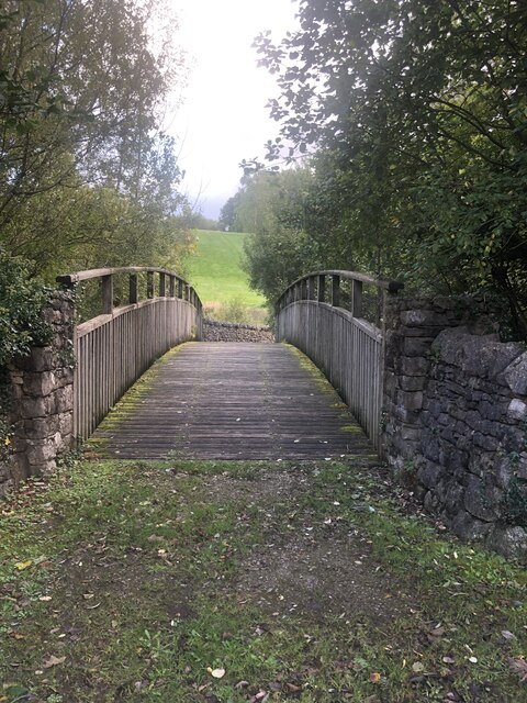
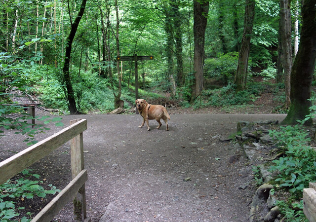
Residents and visitors alike can enjoy the numerous outdoor activities available in and around Cat Hole. The surrounding countryside offers opportunities for hiking, cycling, and fishing, attracting nature enthusiasts and adventure seekers. The nearby River Alyn is also popular for canoeing and kayaking.
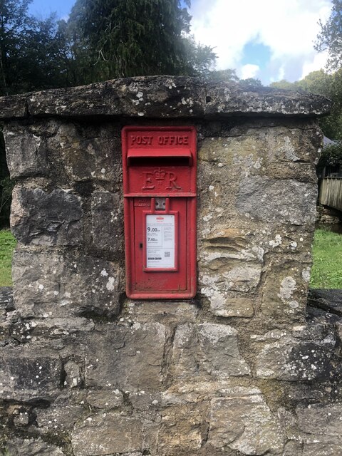
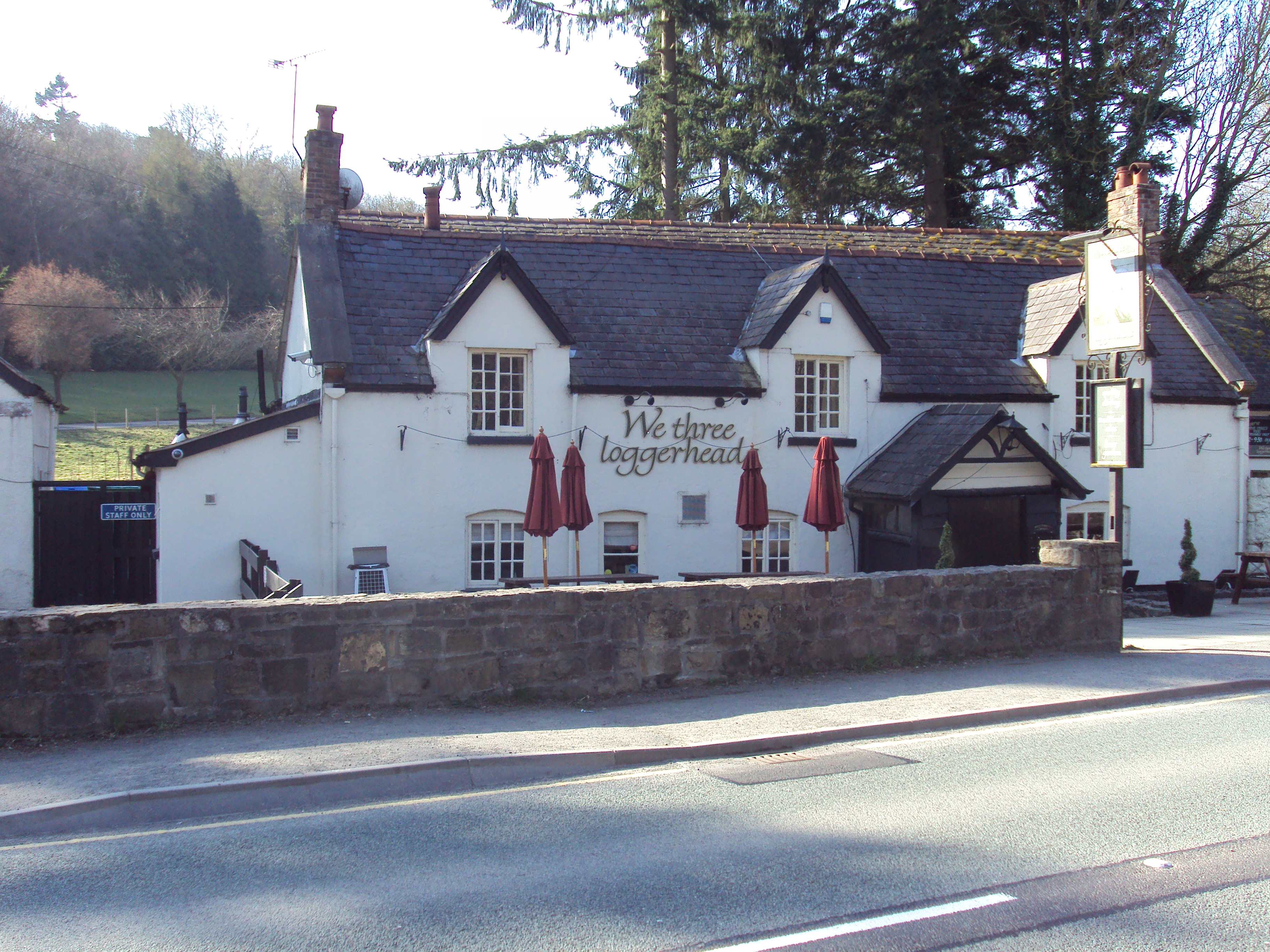
While Cat Hole may not have a wealth of amenities, it does have a strong sense of community. The village is home to a local pub, serving as a gathering place for residents to socialize and relax. The close proximity to larger towns and cities ensures that essential services and facilities are easily accessible.
Overall, Cat Hole offers a peaceful retreat in the heart of the Flintshire countryside, combining natural beauty, a rich history, and a tight-knit community.
If you have any feedback on the listing, please let us know in the comments section below.
Cat Hole Images
Images are sourced within 2km of 53.155026/-3.188859 or Grid Reference SJ2062. Thanks to Geograph Open Source API. All images are credited.


Cat Hole is located at Grid Ref: SJ2062 (Lat: 53.155026, Lng: -3.188859)
Unitary Authority: Denbighshire
Police Authority: North Wales
What 3 Words
///sleepless.animate.cost. Near Mold, Flintshire
Nearby Locations
Related Wikis

Cadole
Cadole is a village in Flintshire, Wales. It lies west of Gwernymynydd and Mold (Yr Wyddgrug), south of Gwernaffield and to the east of the Clwydian Range...

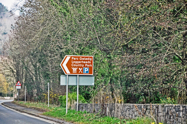
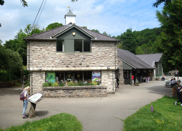
Loggerheads Country Park
Loggerheads Country Park is a country park in the village of Loggerheads, Denbighshire, Wales. The park has a wooded river valley that follows the course...
Loggerheads, Denbighshire
Loggerheads is a village in Denbighshire, Wales on the River Alyn, a tributary of the River Dee. It is the location of Loggerheads Country Park which follows...
Gwernymynydd
Gwernymynydd (Welsh for 'Alder trees on the mountain') is a village outside the market town of Mold in Flintshire, Wales. It forms part of the Gwernymynydd...
Maeshafn
Maeshafn is a small village in Denbighshire, Wales, near the border with Flintshire. Maeshafn lies several miles to the southwest of Mold. Overlooked...

Gwernaffield
Gwernaffield (Welsh: Y Waun), also known as Gwernaffield-y-Waun, is a village and electoral ward in Flintshire, Wales. It lies about three miles west of...
Gwernaffield with Pantymwyn
Gwernaffield with Pantymwyn is a community in Flintshire, Wales with a population of 1942 as of the 2011 UK census. It includes the villages of Gwernaffield...
Tafarn-y-Gelyn
Tafarn-y-Gelyn is a small village in the east of Denbighshire, North East Wales. Situated near Llanferres, at the foot of Moel Famau, just off the A494...
Nearby Amenities
Located within 500m of 53.155026,-3.188859Have you been to Cat Hole?
Leave your review of Cat Hole below (or comments, questions and feedback).