Hamiltonhall Strip

Wood, Forest in Peeblesshire

Scotland

Hamiltonhall Strip

Mountain Cross With a Pentland backdrop.
Mountain Cross Credit: Richard Webb

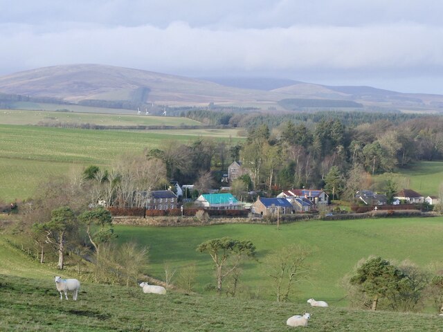
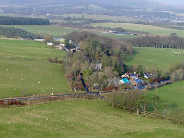
Hamiltonhall Strip, located in Peeblesshire, is a picturesque woodland area renowned for its natural beauty and abundant forest cover. Spanning over several acres, this woodland is a haven for nature enthusiasts and provides a tranquil escape from the hustle and bustle of everyday life.

The strip is characterized by a dense and diverse collection of trees, including oak, birch, beech, and pine, which create a lush canopy overhead. The forest floor is adorned with a rich carpet of ferns, wildflowers, and mosses, adding to the enchanting atmosphere of this woodland.

Hamiltonhall Strip is home to a variety of wildlife, making it an ideal spot for birdwatching and animal spotting. Visitors can often catch glimpses of red squirrels darting among the treetops, while deer gracefully roam the forest floor. The forest's habitat diversity also attracts a range of bird species, including woodpeckers, owls, and songbirds, providing a symphony of natural sounds.

Tranquil pathways wind their way through the forest, inviting visitors to explore and immerse themselves in the serenity of nature. These well-maintained trails offer the opportunity for leisurely walks, jogging, or even cycling, allowing visitors to fully appreciate the beauty of their surroundings.

Hamiltonhall Strip is a popular destination for nature lovers, photographers, and those seeking a peaceful retreat. Its idyllic setting and natural splendor make it a must-visit location for anyone seeking solace in the beauty of the Scottish woodlands.

If you have any feedback on the listing, please let us know in the comments section below.

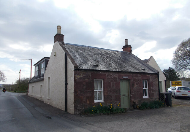
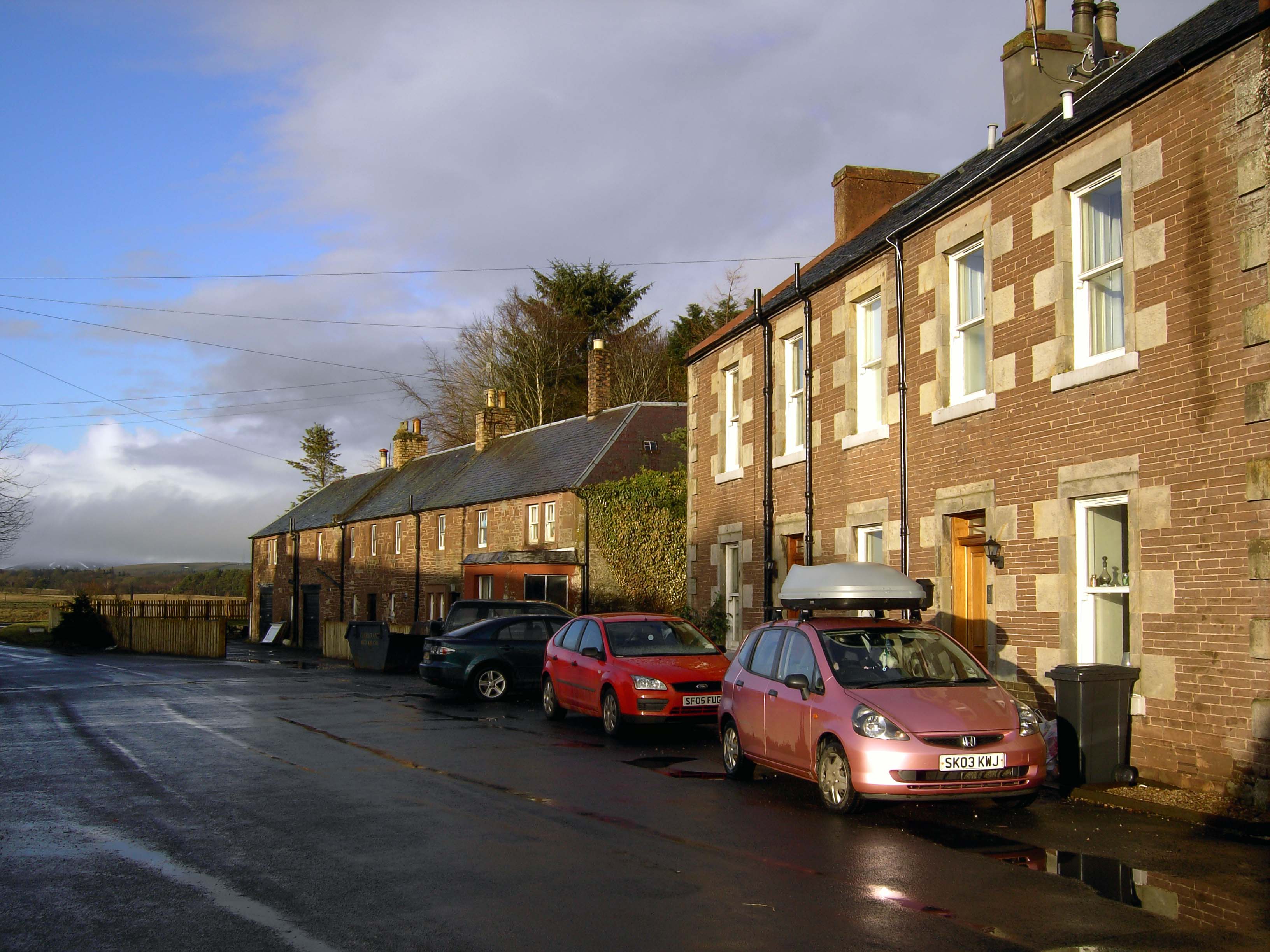
Hamiltonhall Strip Images

Images are sourced within 2km of 55.721436/-3.3562975 or Grid Reference NT1448. Thanks to Geograph Open Source API. All images are credited.
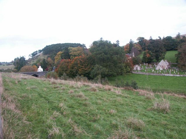
Mountain Cross With a Pentland backdrop.
Mountain Cross
With a Pentland backdrop.
Mountain Cross View from the Henderland Hill hillfort.
Mountain Cross
View from the Henderland Hill hillfort.
Clearing snow, Blyth Clearing a road in the vast free range poultry farm on Blyth Moor.
Clearing snow, Blyth
Clearing a road in the vast free range poultry farm on Blyth Moor.
Old milestone A newer photo of the 19 miles from Edinburgh milestone on the A701 at Romanno Bridge.  Remnants of white paint remain in the incised numbers with white lichens on the sides and top.   It is opposite the old school now the Newlands Centre.   The sides and rear have faint horizontal broaching.   It is marked on the 1897 OS at NT15704774 so was moved when the new bridge and by-pass was built.
Old milestone
A newer photo of the 19 miles from Edinburgh milestone on the A701 at Romanno Bridge. Remnants of white paint remain in the incised numbers with white lichens on the sides and top. It is opposite the old school now the Newlands Centre. The sides and rear have faint horizontal broaching. It is marked on the 1897 OS at NT15704774 so was moved when the new bridge and by-pass was built.
Old milestone This view of the milestone at Romanno Bridge shows faint horizontal broaching on the side.  The back is broached in the same way.   The white lichens that have developed indicate the clean air.
Old milestone
This view of the milestone at Romanno Bridge shows faint horizontal broaching on the side. The back is broached in the same way. The white lichens that have developed indicate the clean air.
Old tollhouse In 1974 this old bridge tollhouse had a chimney at each end of the ridge.  By 2016 it only had one although it had been extended to the rear and right hand side.   2023 and it again has 2 chimneys.  The turnpike road passed through here from 1804 so this building may have been there already or built by the Peebleshire Trust for the tollkeeper.
Old tollhouse
In 1974 this old bridge tollhouse had a chimney at each end of the ridge. By 2016 it only had one although it had been extended to the rear and right hand side. 2023 and it again has 2 chimneys. The turnpike road passed through here from 1804 so this building may have been there already or built by the Peebleshire Trust for the tollkeeper.
Cultivation terraces at Romanno Bridge These terraces from the Middle Ages have proved difficult to date, and could be anything from 300-1000 years old. They are spectacularly visible in the right light from the Edinburgh-Moffat road at Romanno Bridge [A72].
Cultivation terraces at Romanno Bridge
These terraces from the Middle Ages have proved difficult to date, and could be anything from 300-1000 years old. They are spectacularly visible in the right light from the Edinburgh-Moffat road at Romanno Bridge [A72].
Cattle at Noble hall Just north of the cultivation terraces, dating from the Middle Ages, at Romanno Bridge.
Cattle at Noble hall
Just north of the cultivation terraces, dating from the Middle Ages, at Romanno Bridge.
Pasture and trees on Penria Hill Just south of Noblehall at Romanno Bridge.
Pasture and trees on Penria Hill
Just south of Noblehall at Romanno Bridge.
Bordlands from Noblehall Looking southwest from the B7059 just north of Newlands Bridge. The shelter belt at the left is the other end of the one shown in <a href="https://www.geograph.org.uk/photo/2315123">NT1546 : Shelter belt on Bordlands Hill</a>, and at its peak is the site of an ancient settlement, one of many in the area. The Lyne Water runs right to left in the middle foreground, just before the rising ground.
Bordlands from Noblehall
Looking southwest from the B7059 just north of Newlands Bridge. The shelter belt at the left is the other end of the one shown in NT1546 : Shelter belt on Bordlands Hill, and at its peak is the site of an ancient settlement, one of many in the area. The Lyne Water runs right to left in the middle foreground, just before the rising ground.
Cottages at Damside
Cottages at Damside
Old Bridge at Romanno Bridge
Damside Cottages
Damside Cottages
A Daffodil Lined A701
Farmland north of Mountain Cross
Romanno House Farm A farm above the village with Moot Hill to the right, seen from the old Drove Road.
Romanno House Farm
A farm above the village with Moot Hill to the right, seen from the old Drove Road.
Old Drove Road, Romannobridge Part of the cattle-droving route from the markets at Falkirk southwards via Peebles and West Linton; the wide verges between the enclosing walls gave enough grass to feed the herds at their rest stops. The beasts were fattened in the pastures of Norfolk before continuing to London and the last stop at Smithfield Market. (source: Tweed Trails leaflet 'Cross Borders Drove Road')
 The website <span class="nowrap"><a title="http://www.southofscotlandcountrysidetrails.co.uk/" rel="nofollow ugc noopener" href="http://www.southofscotlandcountrysidetrails.co.uk/">Link</a><img style="margin-left:2px;" alt="External link" title="External link - shift click to open in new window" src="https://s1.geograph.org.uk/img/external.png" width="10" height="10"/></span> gives more on walking and horse riding routes in S Scotland.
Old Drove Road, Romannobridge
Part of the cattle-droving route from the markets at Falkirk southwards via Peebles and West Linton; the wide verges between the enclosing walls gave enough grass to feed the herds at their rest stops. The beasts were fattened in the pastures of Norfolk before continuing to London and the last stop at Smithfield Market. (source: Tweed Trails leaflet 'Cross Borders Drove Road') The website LinkExternal link gives more on walking and horse riding routes in S Scotland.
Old Drove Road, Romannobridge (2) A view up the old road with the Tweed Trails marker and an explanatory notice from South of Scotland Countryside Trails on the fence. Please see the website <span class="nowrap"><a title="http://www.southofscotlandcountrysidetrails.co.uk/" rel="nofollow ugc noopener" href="http://www.southofscotlandcountrysidetrails.co.uk/">Link</a><img style="margin-left:2px;" alt="External link" title="External link - shift click to open in new window" src="https://s1.geograph.org.uk/img/external.png" width="10" height="10"/></span> for more background on the trails network.
Old Drove Road, Romannobridge (2)
A view up the old road with the Tweed Trails marker and an explanatory notice from South of Scotland Countryside Trails on the fence. Please see the website LinkExternal link for more background on the trails network.
Show me another place!

Hamiltonhall Strip is located at Grid Ref: NT1448 (Lat: 55.721436, Lng: -3.3562975)

Unitary Authority: The Scottish Borders

Police Authority: The Lothians and Scottish Borders

What 3 Words

///reveal.door.boast. Near West Linton, Scottish Borders

Related Wikis

Romannobridge

Romanno Bridge is a village on the Lyne Water, on the A701, in the Scottish Borders area of Scotland. Settlements nearby include West Linton, Halmyre,...

Bordlands

Bordlands is a village in the Parish of Newlands in the Scottish Borders area of Scotland. The former name of Bordlands was Boreland. == See also == List...

Newlands, Scottish Borders

Newlands is a parish in the Tweeddale committee area of the Scottish Borders council area, in southeastern Scotland. == Geography == Newlands is on the...

Broomlee railway station

Broomlee railway station served the village of West Linton, Peeblesshire, Scotland, from 1864 to 1933 on the Leadburn, Linton and Dolphinton Railway....

Nearby Amenities

Located within 500m of 55.721436,-3.3562975
Hamiltonhall
Place: locality
Lat/Long: 55.7195441/-3.3534493
Power: pole
Lat/Long: 55.7233562/-3.3633093
Power: pole
Lat/Long: 55.7232367/-3.3620184
Power: pole
Lat/Long: 55.7231242/-3.3607443
Power: pole
Lat/Long: 55.7230117/-3.3594934
Power: pole
Lat/Long: 55.723123/-3.3583813
Power: pole
Lat/Long: 55.7232284/-3.3572187
Power: pole
Lat/Long: 55.7227548/-3.3563314
Power: pole
Lat/Long: 55.7222443/-3.3554002
Power: pole
Lat/Long: 55.7217187/-3.3544414
Power: pole
Lat/Long: 55.7212024/-3.3534785
Power: pole
Lat/Long: 55.720685/-3.3525366
Power: pole
Lat/Long: 55.7201699/-3.3515801
Power: pole
Lat/Long: 55.7196477/-3.3506445
Power: pole
Lat/Long: 55.7216038/-3.3559698
Power: pole
Lat/Long: 55.7207501/-3.3567477
Power: pole
Lat/Long: 55.7200917/-3.3573679
Power: pole
Lat/Long: 55.7194286/-3.3579524
Power: pole
Lat/Long: 55.7187169/-3.3586125
Power: pole
Lat/Long: 55.7180076/-3.3592601
Power: pole
Lat/Long: 55.7195648/-3.3519858
Power: pole
Lat/Long: 55.7196074/-3.3512353
Power: pole
Lat/Long: 55.7197388/-3.3492927
The data included in this document is from www.openstreetmap.org. The data is made available under ODbL.

Have you been to Hamiltonhall Strip?

Leave your review of Hamiltonhall Strip below (or comments, questions and feedback).