Auchvochkie Woods
Wood, Forest in Morayshire
Scotland
Auchvochkie Woods
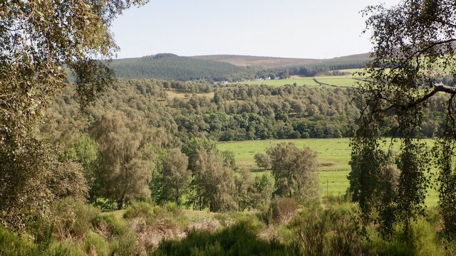
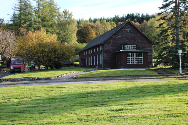
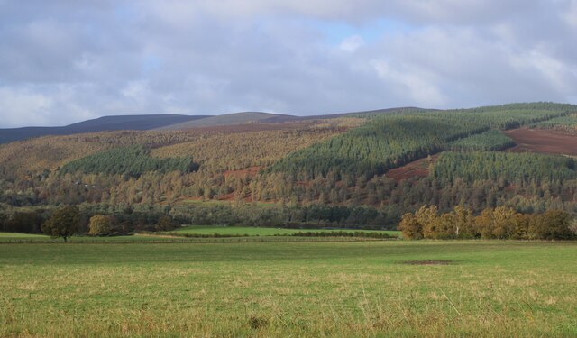
Auchvochkie Woods, located in Morayshire, Scotland, is a picturesque woodland covering an area of approximately 100 hectares. The woods are situated on the eastern slopes of the Speyside valley, adding a touch of natural beauty to the surrounding landscape.
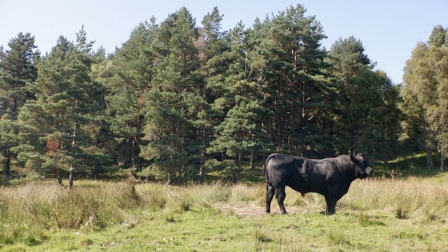
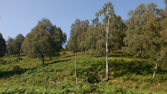
The forest is primarily composed of native broadleaf trees, such as oak, birch, and rowan, with some sections featuring coniferous species like pine and spruce. This diverse mix of trees creates a rich and vibrant ecosystem, providing habitat for a wide range of flora and fauna. Visitors can enjoy a leisurely stroll through the woods, immersing themselves in the peaceful atmosphere and taking in the beauty of the surrounding nature.
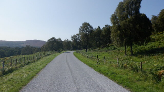
Auchvochkie Woods is also known for its extensive network of walking trails, which cater to all levels of fitness and mobility. These well-maintained paths wind their way through the forest, offering visitors the opportunity to explore the woodlands at their own pace. The trails are marked with signposts and information boards, providing interesting facts about the local wildlife, history, and conservation efforts in the area.
The woods are a popular destination for nature enthusiasts, birdwatchers, and photographers, as they offer a chance to spot a variety of bird species, such as woodpeckers, owls, and red kites. In addition, the woods are home to a diverse range of mammals, including deer, squirrels, and foxes, making it a perfect spot for wildlife observation.
Overall, Auchvochkie Woods is a serene and enchanting forest, offering visitors a peaceful retreat in the heart of Morayshire's natural beauty.
If you have any feedback on the listing, please let us know in the comments section below.
Auchvochkie Woods Images
Images are sourced within 2km of 57.395051/-3.422468 or Grid Reference NJ1434. Thanks to Geograph Open Source API. All images are credited.


Auchvochkie Woods is located at Grid Ref: NJ1434 (Lat: 57.395051, Lng: -3.422468)
Unitary Authority: Highland
Police Authority: Highlands and Islands
What 3 Words
///extremely.brand.eggs. Near Grantown-on-Spey, Highland
Nearby Locations
Related Wikis

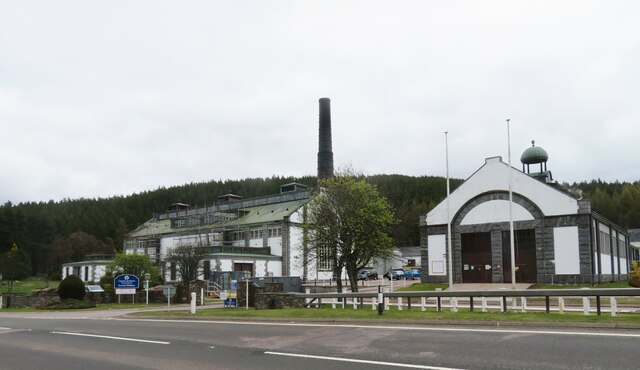
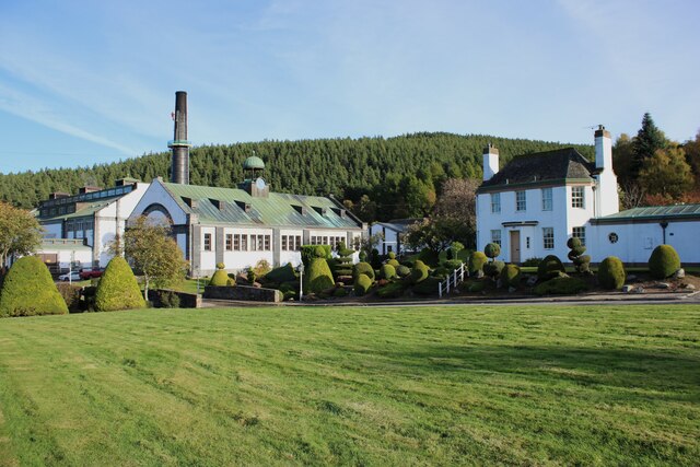
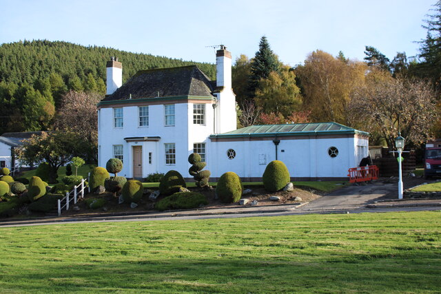
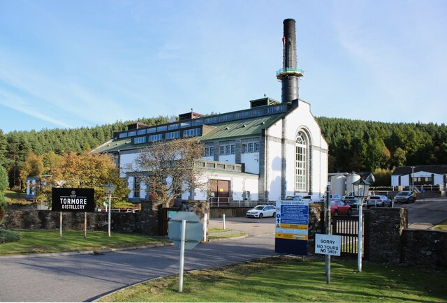
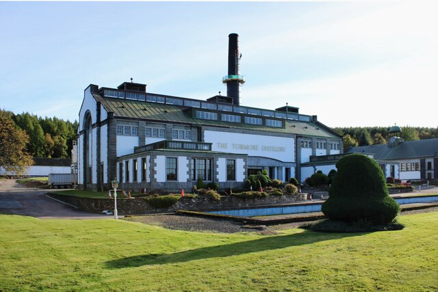
Tormore distillery
Tormore distillery is a Speyside single malt Scotch whisky distillery located approximately 1 km south of the River Spey. Its water source is the Allt...

Advie railway station
Advie railway station served the village of Advie, Morayshire, in Scotland. == History == Opened by the Strathspey Railway (GNoSR), it was absorbed by...

Advie
Advie (Scottish Gaelic: Àbhaidh) is a small village in Strathspey, in the Highland Council Area of Scotland. It lies to the south of the River Spey, and...

Cragganmore distillery
Cragganmore distillery is a Scotch whisky distillery situated in the village of Ballindalloch in Banffshire, Scotland. == History == The distillery was...
Nearby Amenities
Located within 500m of 57.395051,-3.422468Have you been to Auchvochkie Woods?
Leave your review of Auchvochkie Woods below (or comments, questions and feedback).