Ballathie Wood
Wood, Forest in Perthshire
Scotland
Ballathie Wood
The requested URL returned error: 429 Too Many Requests
If you have any feedback on the listing, please let us know in the comments section below.
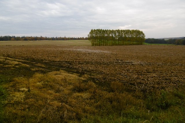
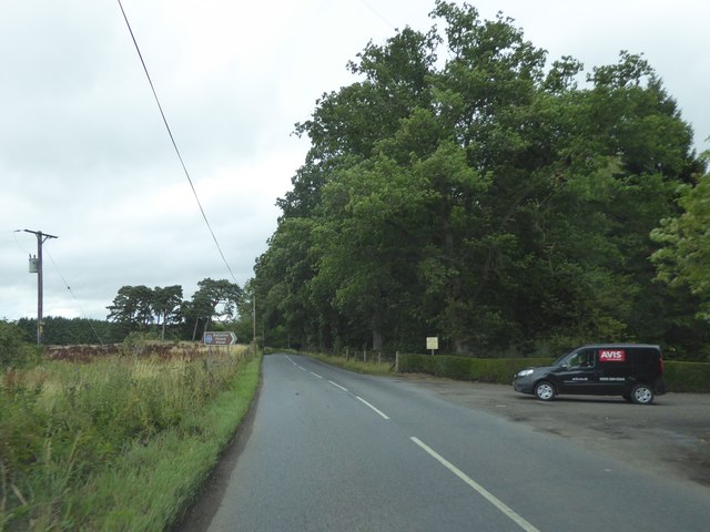
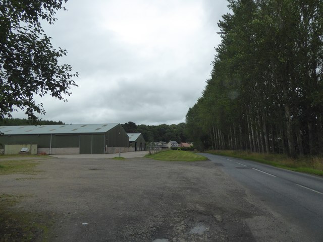
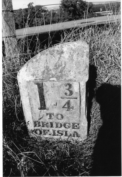
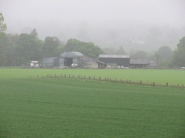
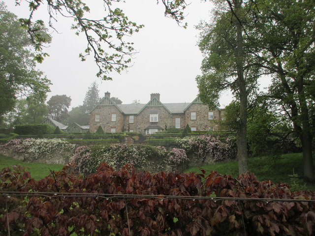
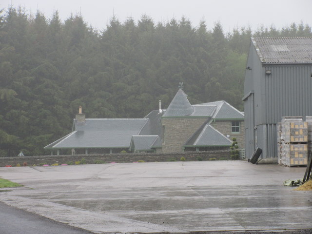
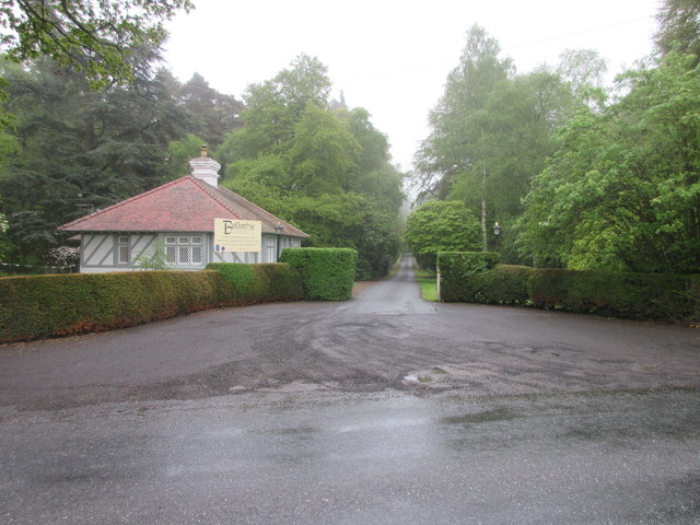
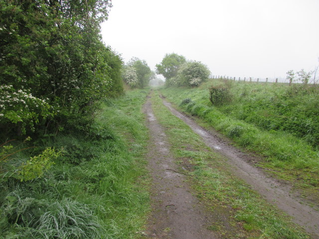
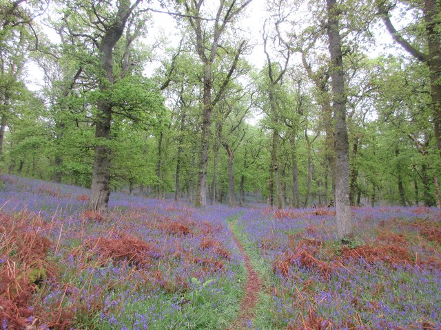
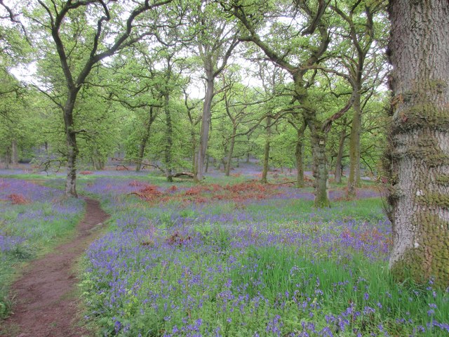
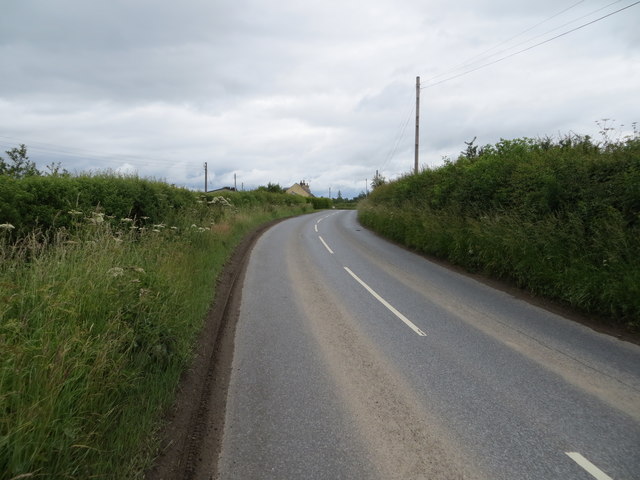
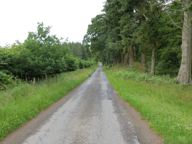
Ballathie Wood Images
Images are sourced within 2km of 56.511333/-3.3981455 or Grid Reference NO1436. Thanks to Geograph Open Source API. All images are credited.


Ballathie Wood is located at Grid Ref: NO1436 (Lat: 56.511333, Lng: -3.3981455)
Unitary Authority: Perth and Kinross
Police Authority: Tayside
What 3 Words
///ordeals.decency.reverted. Near Stanley, Perth & Kinross
Nearby Locations
Related Wikis

Ballathie railway station
Ballathie railway station served the hamlet of Ballathie, Perth and Kinross, Scotland from 1848 to 1868 on the Scottish Midland Junction Railway. ��2...

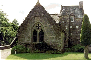
Ballathie House
Ballathie House is a 19th-century mansion in Perthshire, Scotland. It is located around 9 miles (14 km) north of Perth, and 5.5 miles (8.9 km) west of...
Stobhall
Stobhall (or Stobhall Castle) is a country house and estate in Perthshire in Scotland, 8 miles (13 km) from Perth. The 17th-century dower house and several...

Cargill railway station
Cargill railway station was in the Scottish county of Perth and Kinross. The station was opened by the Scottish Midland Junction Railway running between...
Have you been to Ballathie Wood?
Leave your review of Ballathie Wood below (or comments, questions and feedback).