Castleton
Settlement in Angus
Scotland
Castleton

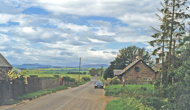
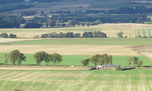
Castleton is a small village located in the county of Angus, Scotland. Situated in the eastern part of the country, it lies approximately 8 miles north of the town of Kirriemuir and 13 miles south of Forfar. With a population of around 400 people, it is a close-knit community that prides itself on its rural charm and picturesque surroundings.
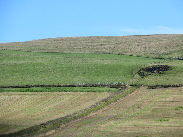
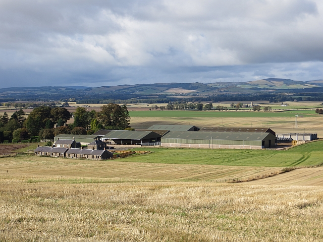
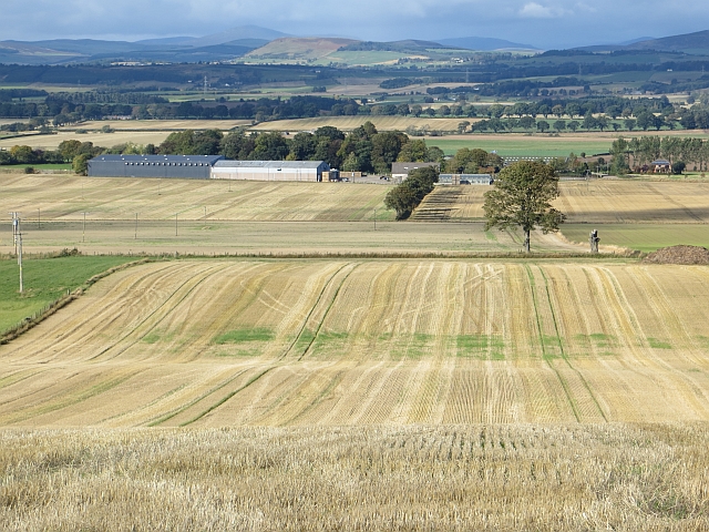
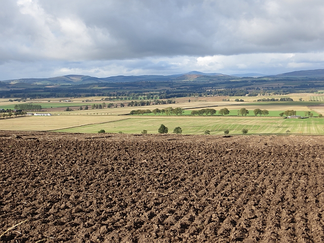
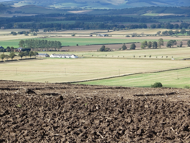
The village itself is set amidst rolling hills and farmland, offering stunning views of the Angus countryside. It is known for its traditional stone-built houses and historic buildings, which add to its character and appeal. One notable landmark is the Castleton Castle, a 17th-century tower house that stands as a testament to the area's rich history.
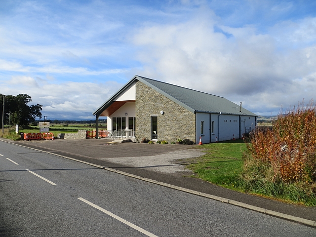
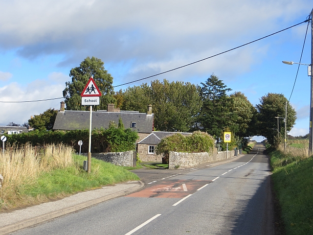
Although small, Castleton has a strong sense of community. The village features a primary school, a village hall, and a church, all of which serve as focal points for local activities and events. Additionally, there are several small businesses, including a village shop and a pub, which provide essential services and a place for residents to socialize.
For outdoor enthusiasts, Castleton offers plenty of opportunities to explore the surrounding countryside. The area is known for its scenic walks and hiking trails, allowing visitors to immerse themselves in the natural beauty of Angus. The nearby Glen Doll Forest and the Angus Glens provide further options for outdoor activities such as mountain biking, wildlife spotting, and birdwatching.
Overall, Castleton, Angus is a charming village that offers a peaceful and idyllic setting for residents and visitors alike. With its rich history, beautiful landscapes, and strong sense of community, it is a place that captures the essence of rural Scotland.
If you have any feedback on the listing, please let us know in the comments section below.
Castleton Images
Images are sourced within 2km of 56.601085/-3.0928715 or Grid Reference NO3346. Thanks to Geograph Open Source API. All images are credited.


Castleton is located at Grid Ref: NO3346 (Lat: 56.601085, Lng: -3.0928715)
Unitary Authority: Angus
Police Authority: Tayside
What 3 Words
///upcoming.event.reception. Near Alyth, Perth & Kinross
Nearby Locations
Related Wikis

Leason Hill railway station
Leason Hill railway station served the area of Newmill of Inshewan, Angus, Scotland, from 1838 to 1847 on the Newtyle, Eassie and Glamiss Railway. ��2...
Castleton, Angus
Castleton, officially Castleton Of Eassie, is a village in Angus, Scotland. This settlement is situated along the A94 road between Glamis and Meigle....

Eassie
Eassie is a village located along the A94 road in Angus, Scotland. The church in Eassie is dedicated to Saint Fergus, a monk who worked at nearby Glamis...
Balkeerie
Balkeerie is a village in Angus, Scotland north of Dundee. It has an elevation of 222 feet (68 m) above sea level. It is one mile (1.6 km) to the north...

Eassie railway station
Eassie railway station served the village of Eassie, Angus, Scotland from 1838 to 1956 on the Scottish Midland Junction Railway. == History == The station...
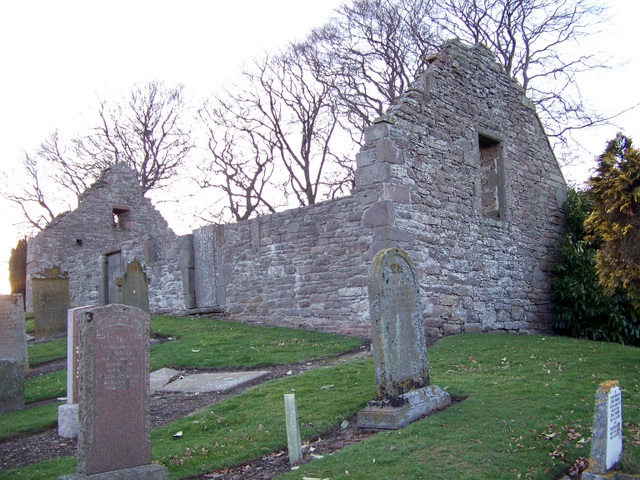
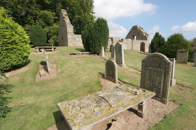
Nevay Church
Nevay Church is a ruined 16th century parish church located near the village of Kirkinch in Angus, Scotland. Originally dedicated to St Neveth, a church...
Kirkinch
Kirkinch, meaning 'kirk (church) on the island' in Scots and Gaelic, is a small village in Angus, Scotland. The 'island' is the knoll on which stand the...
Kirkinch railway station
Kirkinch railway station served the village of Kirkinch, Angus, Scotland, from 1838 to 1847 on the Newtyle, Eassie and Glamiss Railway. == History == The...
Nearby Amenities
Located within 500m of 56.601085,-3.0928715Have you been to Castleton?
Leave your review of Castleton below (or comments, questions and feedback).