Berry Wood
Wood, Forest in Perthshire
Scotland
Berry Wood
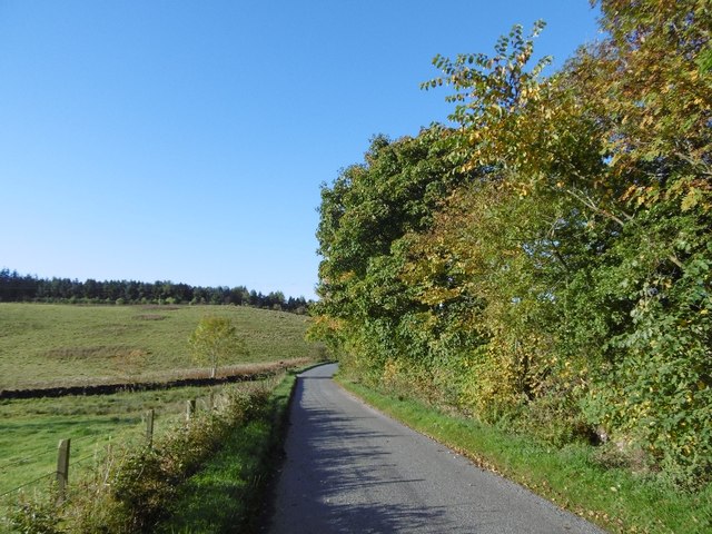
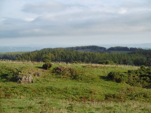
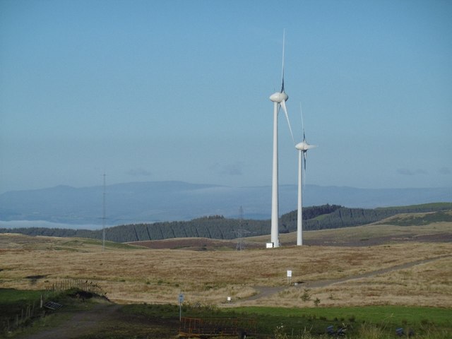
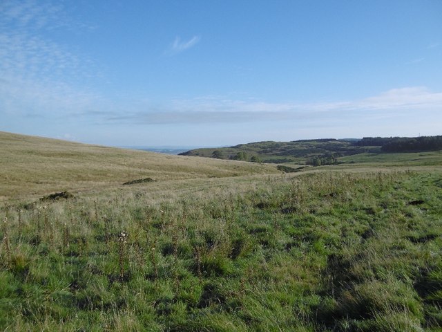
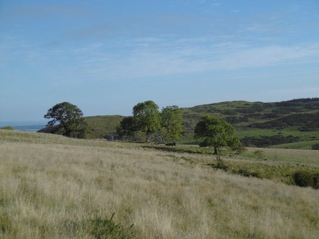
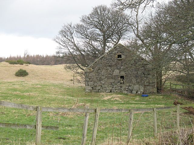
Berry Wood is a picturesque forest located in the region of Perthshire, Scotland. Covering an area of approximately 100 hectares, this woodland is a popular destination for nature enthusiasts and hikers alike. The wood is predominantly composed of native broadleaf trees, including oak, birch, and beech, creating a diverse and vibrant ecosystem.
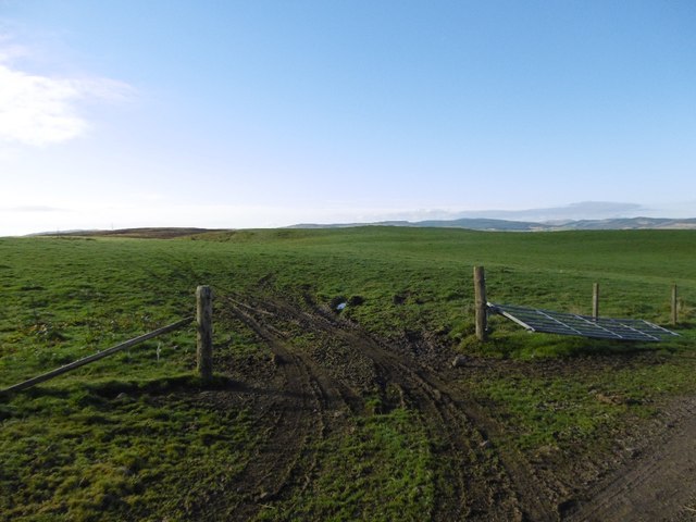
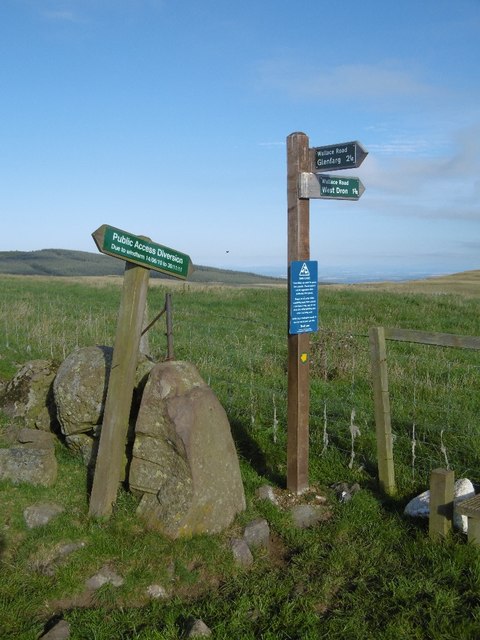
Upon entering Berry Wood, visitors are greeted by a well-maintained path that winds through the forest, providing easy access to its many attractions. The woodland is crisscrossed by a network of trails, allowing for exploration and discovery of its natural wonders. These paths offer varying levels of difficulty, catering to both casual walkers and more experienced hikers.
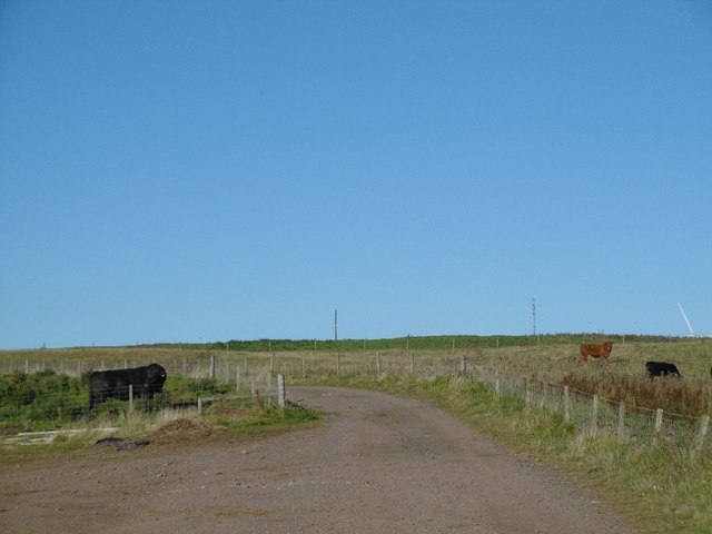
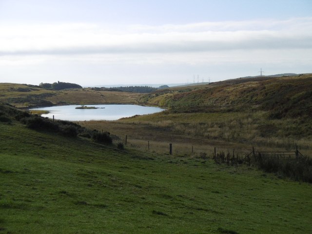
The forest is home to a rich array of wildlife, with many species calling it their habitat. Deer, red squirrels, and a variety of bird species are commonly spotted within the woodland. Birdwatchers will be delighted by the opportunity to observe species such as woodpeckers, owls, and various songbirds.
One of the highlights of Berry Wood is its stunning display of bluebells that carpet the forest floor in spring. This annual spectacle draws visitors from far and wide, eager to witness the enchanting sea of vibrant blue flowers.
Berry Wood is well-equipped to accommodate visitors, with ample parking facilities and picnic areas available. The wood is maintained by a dedicated team of conservationists who ensure the preservation of its natural beauty. Whether it's for a leisurely stroll, a family outing, or a chance to immerse oneself in nature, Berry Wood offers a peaceful and captivating experience for all who visit.
If you have any feedback on the listing, please let us know in the comments section below.
Berry Wood Images
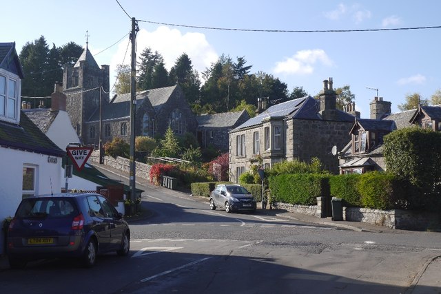
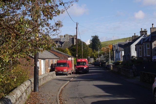
Images are sourced within 2km of 56.293937/-3.411638 or Grid Reference NO1212. Thanks to Geograph Open Source API. All images are credited.
Berry Wood is located at Grid Ref: NO1212 (Lat: 56.293937, Lng: -3.411638)
Unitary Authority: Perth and Kinross
Police Authority: Tayside
What 3 Words
///albatross.loving.shuttered. Near Bridge of Earn, Perth & Kinross
Nearby Locations
Related Wikis
Abbots Deuglie
Abbots Deuglie () is a hamlet in Perth and Kinross, Scotland. It is located in the Ochil Hills, in Arngask parish, about one mile (1.5 km) west of Glenfarg...

Glenfarg
Glenfarg (Scottish Gaelic: Gleann Fairg) is a village in the Ochil Hills in Perth and Kinross, Scotland. Until 14 June 1964, the village had a railway...

Glenfarg railway station
Glenfarg railway station served the village of Glenfarg, Perth and Kinross, Scotland, from 1890 to 1964, on the Glenfarg Line. == History == The station...

Duncrievie
Duncrievie () is a village in Perth and Kinross, Scotland. It lies approximately 6 miles (10 kilometres) north of Kinross, to the west of the M90 motorway...
Nearby Amenities
Located within 500m of 56.293937,-3.411638Have you been to Berry Wood?
Leave your review of Berry Wood below (or comments, questions and feedback).