Burial Ground Wood
Wood, Forest in Midlothian
Scotland
Burial Ground Wood

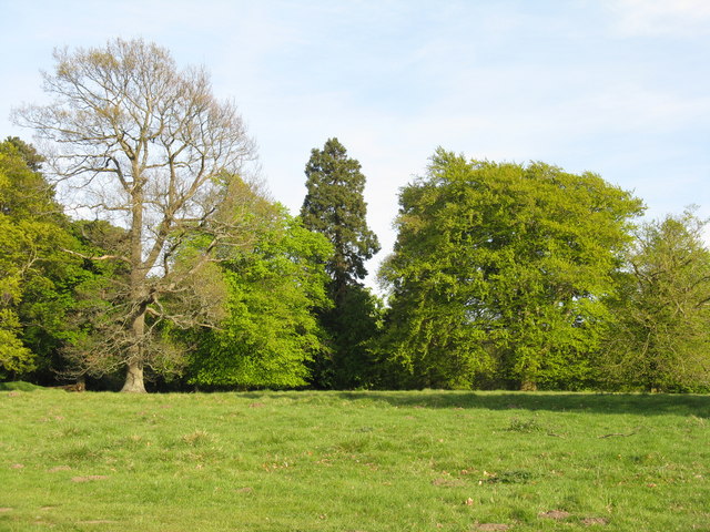
Burial Ground Wood, located in Midlothian, Scotland, is a picturesque forested area known for its natural beauty and historical significance. Spanning approximately 500 acres, this woodland is nestled within the rolling hills of the Scottish countryside, offering visitors a tranquil and serene escape from the hustle and bustle of everyday life.
The wood is characterized by its diverse array of trees, including oak, beech, and birch, which create a dense canopy overhead. This lush vegetation provides a habitat for a variety of wildlife, including red squirrels, roe deer, and a myriad of bird species, making it a popular spot for nature enthusiasts and birdwatchers.
Burial Ground Wood is also steeped in history, with archaeological evidence suggesting human activity in the area dating back thousands of years. The wood contains several ancient burial mounds, known as cairns, which are believed to be remnants of prehistoric burial practices. These cairns provide a fascinating glimpse into the lives of early inhabitants of the region.
Today, the wood is managed by a local conservation organization, ensuring its preservation and protection. Visitors can explore the numerous walking trails that wind through the wood, offering breathtaking vistas and opportunities to immerse oneself in nature. Interpretive signs along the paths provide information about the wood's ecological and historical significance, adding to the educational experience.
As a cherished natural and historical treasure, Burial Ground Wood offers visitors a chance to connect with nature, appreciate Scotland's rich heritage, and enjoy a peaceful retreat in the heart of Midlothian.
If you have any feedback on the listing, please let us know in the comments section below.
Burial Ground Wood Images
Images are sourced within 2km of 55.879927/-3.4045654 or Grid Reference NT1266. Thanks to Geograph Open Source API. All images are credited.

![Energy gathering at Easter Newton Two trees [oak and beech[?]], and a bank of solar panels.](https://s3.geograph.org.uk/geophotos/02/39/33/2393335_c08addfb.jpg)


Burial Ground Wood is located at Grid Ref: NT1266 (Lat: 55.879927, Lng: -3.4045654)
Unitary Authority: City of Edinburgh
Police Authority: Edinburgh
What 3 Words
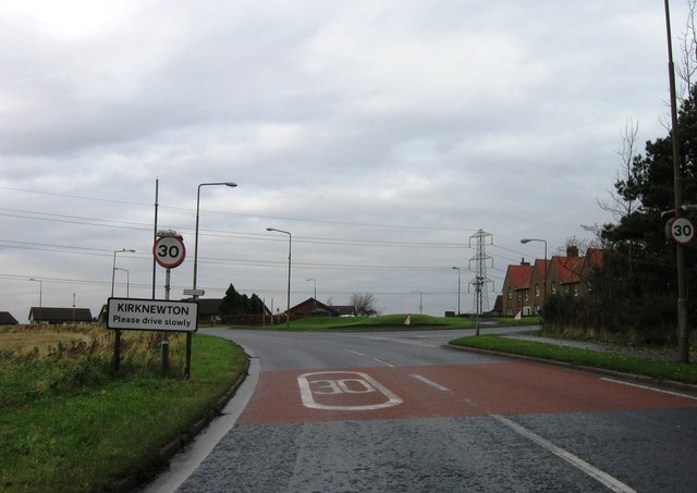
///scrub.sizzled.hounded. Near Kirknewton, West Lothian
Nearby Locations
Related Wikis

RAF Kirknewton
Royal Air Force Kirknewton, otherwise known as RAF Kirknewton, is a Royal Air Force station at Whitemoss, a mile south east of Kirknewton, West Lothian...

Ritchie Camp
Ritchie Camp was a military base located near Kirknewton, West Lothian in Scotland. == History == Ritchie Camp was initially established during World War...

Kirknewton, West Lothian
Kirknewton (Scots: Kirknewtoun, Scottish Gaelic: Eaglais a' Bhaile Ùir) is a village formerly in the county of Midlothian and, since 1975, in West Lothian...
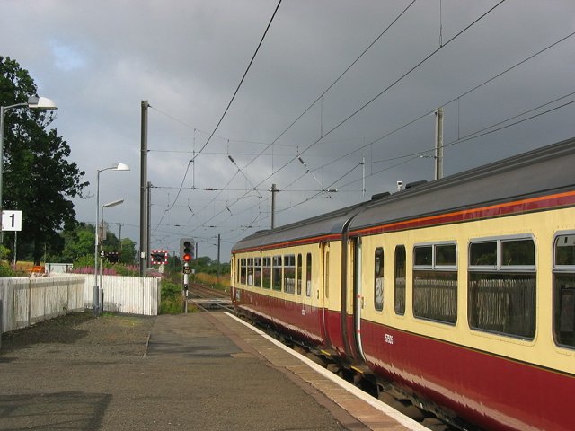
Kirknewton railway station
Kirknewton railway station is a railway station serving the village of Kirknewton in West Lothian, Scotland, Opened as Kirknewton in February 1848, the...
Nearby Amenities
Located within 500m of 55.879927,-3.4045654Have you been to Burial Ground Wood?
Leave your review of Burial Ground Wood below (or comments, questions and feedback).