Newfield Plantation
Wood, Forest in Dumfriesshire
Scotland
Newfield Plantation
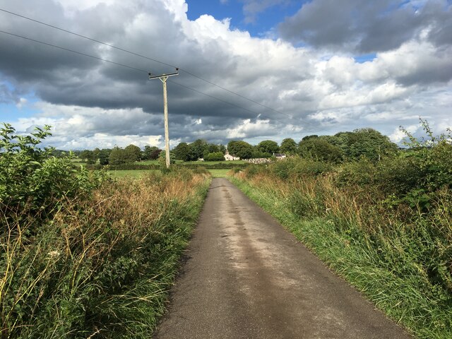
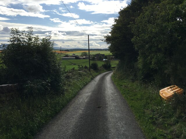
Newfield Plantation is a sprawling woodland estate located in the picturesque Dumfriesshire region of Scotland. Situated near the village of Newfield, this plantation spans over hundreds of acres of lush greenery, making it a haven for nature enthusiasts and outdoor adventurers alike.
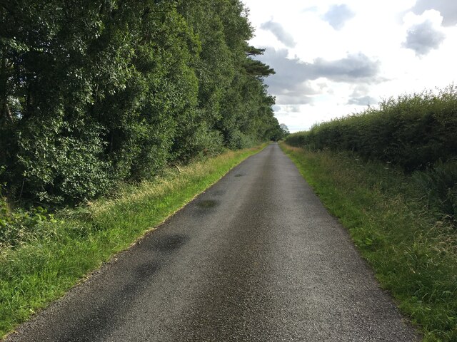
The plantation is predominantly made up of dense forests, with a diverse range of tree species including oak, beech, and pine. These towering trees create a serene and peaceful atmosphere, providing a perfect escape from the hustle and bustle of everyday life. The woodland is teeming with an array of wildlife, with red squirrels, deer, and a variety of bird species commonly spotted by visitors.
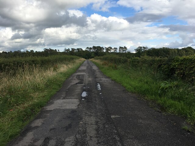
Newfield Plantation offers various recreational activities for visitors to enjoy. There are numerous walking trails that crisscross through the plantation, allowing visitors to explore the enchanting woodland at their own pace. These trails cater to all levels of fitness and offer breathtaking views of the surrounding countryside.
For those seeking a more adventurous experience, Newfield Plantation is also home to a number of mountain biking trails. These challenging routes wind through the forest, providing an adrenaline-filled ride for biking enthusiasts. Additionally, the plantation offers opportunities for fishing in its nearby rivers and streams, with salmon and trout being the most sought-after catches.
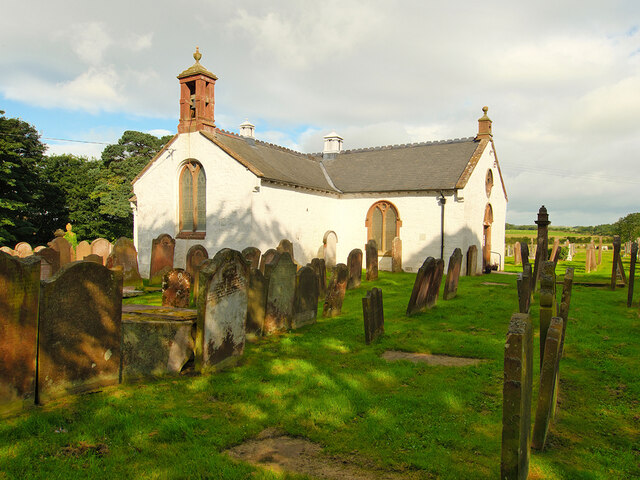
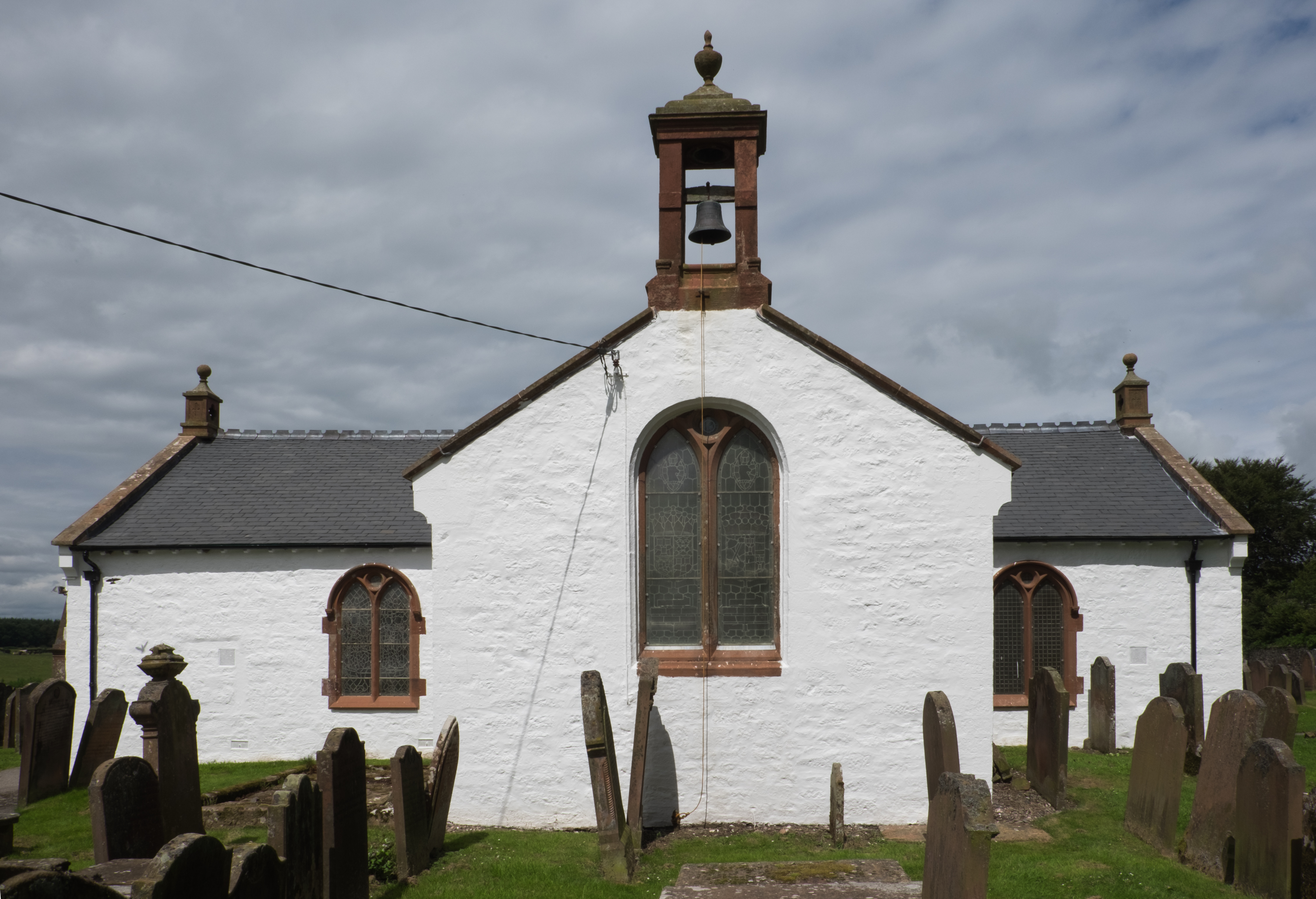
Newfield Plantation is not only a natural haven but also a site of historical significance. The estate has a rich history dating back centuries and is home to several ancient ruins and archaeological sites. These remnants of the past add an extra layer of intrigue and fascination to the plantation, making it a must-visit destination for history buffs.
In conclusion, Newfield Plantation in Dumfriesshire is a magnificent woodland estate that combines natural beauty, outdoor recreational activities, and historical charm. Whether you are seeking tranquility, adventure, or a glimpse into the past, this plantation offers a truly remarkable experience for visitors of all ages.
If you have any feedback on the listing, please let us know in the comments section below.
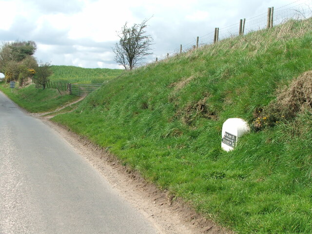
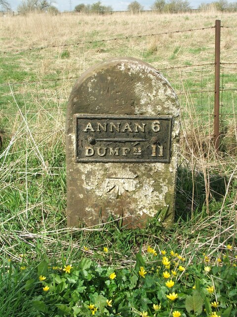
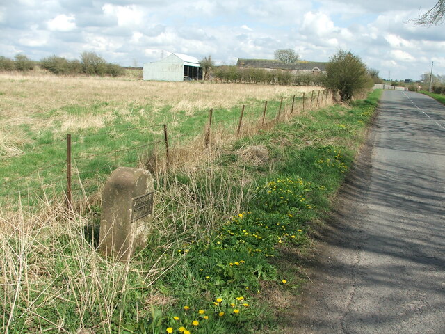
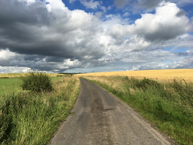
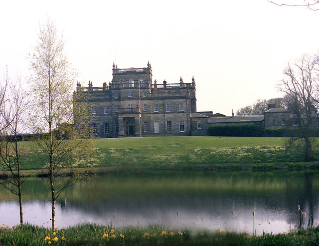
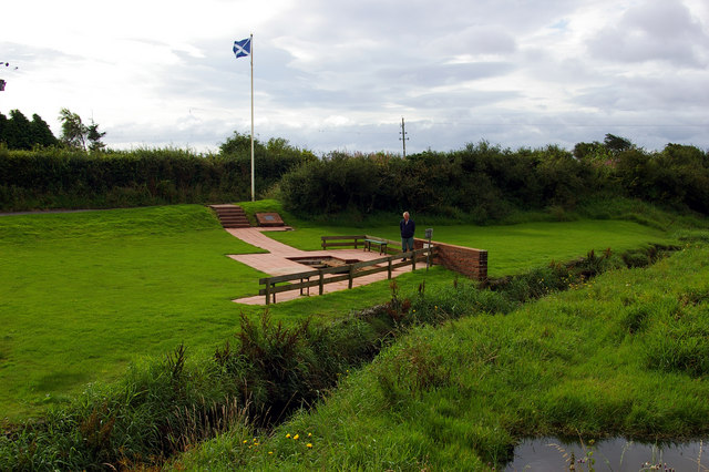
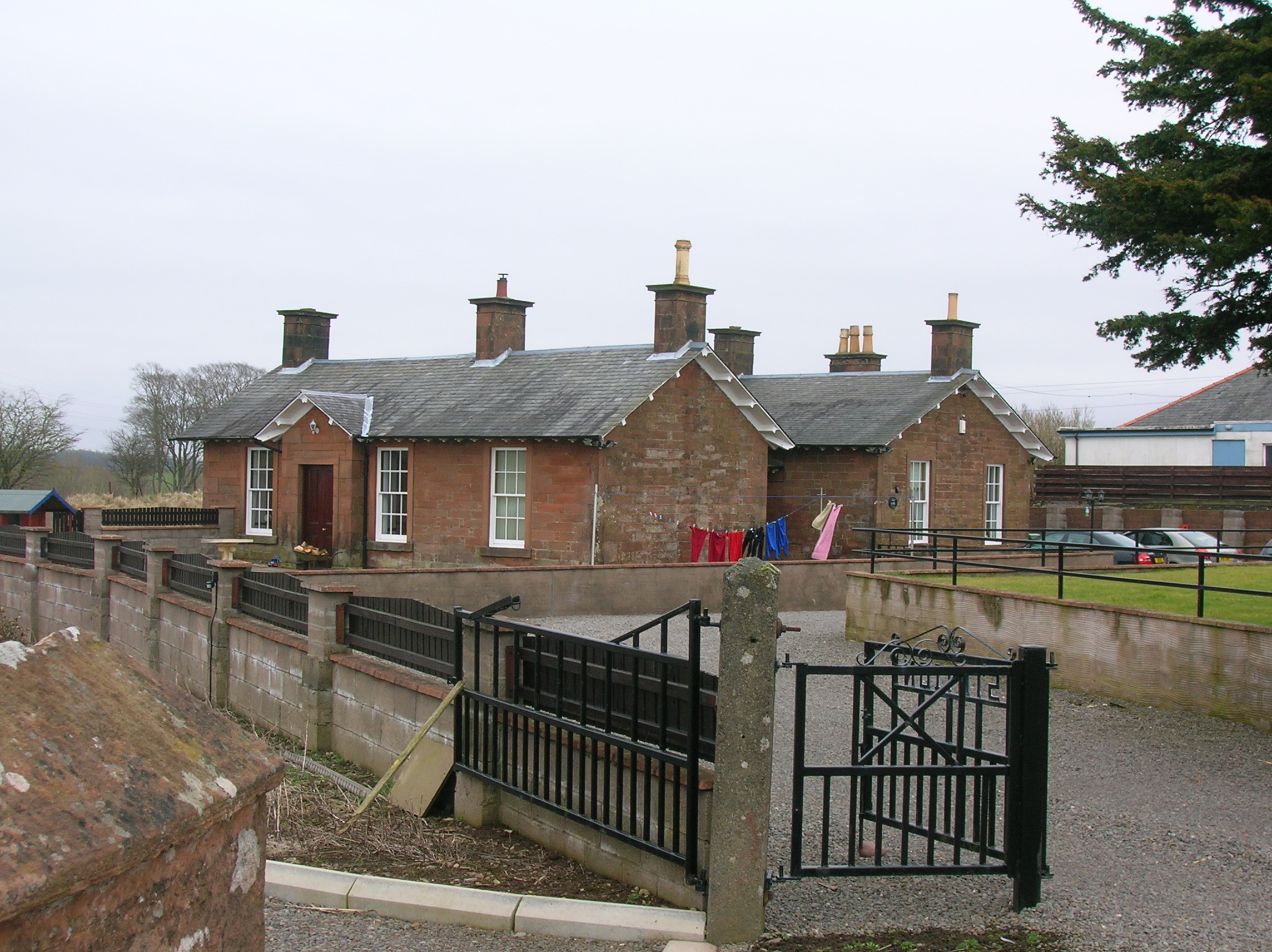
Newfield Plantation Images
Images are sourced within 2km of 55.00652/-3.3868503 or Grid Reference NY1168. Thanks to Geograph Open Source API. All images are credited.


Newfield Plantation is located at Grid Ref: NY1168 (Lat: 55.00652, Lng: -3.3868503)
Unitary Authority: Dumfries and Galloway
Police Authority: Dumfries and Galloway
What 3 Words
///punch.recap.types. Near Annan, Dumfries & Galloway
Nearby Locations
Related Wikis

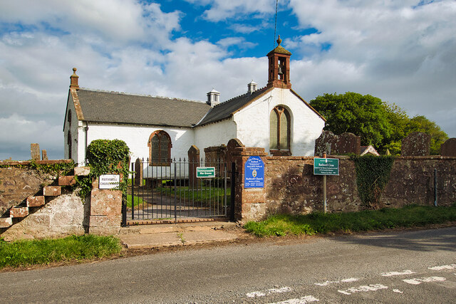
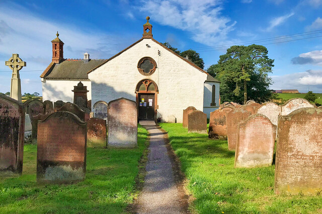
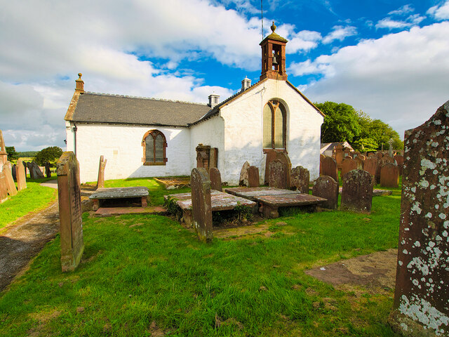
Ruthwell Cross
The Ruthwell Cross is a stone Anglo-Saxon cross probably dating from the 8th century, when the village of Ruthwell, now in Scotland, was part of the Anglo...
Ruthwell
Ruthwell is a village and parish on the Solway Firth between Dumfries and Annan in Dumfries and Galloway, Scotland. Thomas Randolph, Earl of Moray, gave...

Clarencefield
Clarencefield is a small village in Ruthwell Parish between Dumfries and Annan in Dumfries and Galloway, Scotland. It was once served by Ruthwell railway...

Ruthwell railway station
Ruthwell railway station was a railway station in Dumfries and Galloway south of Dumfries, serving the village of Ruthwell with its famous 8th century...
Kinmount House
Kinmount House is a 19th-century country house in the parish of Cummertrees in the historic county of Dumfriesshire in Dumfries and Galloway region, Scotland...
Brow, Dumfries and Galloway
Brow is a hamlet on the B725 lying around 3 km from Ruthwell in the Parish of that name on the Solway Firth between Dumfries and Annan in Dumfries and...

Carrutherstown
Carrutherstown is a village in the civil parish of Dalton, in Dumfries and Galloway, Scotland. It is about 9 miles (14 km) east of Dumfries. == Demographics... ==
Cummertrees railway station
Cummertrees railway station was a railway station in Dumfries and Galloway south of Dumfries, serving the village of Cummertrees. The village lies some...
Nearby Amenities
Located within 500m of 55.00652,-3.3868503Have you been to Newfield Plantation?
Leave your review of Newfield Plantation below (or comments, questions and feedback).