Edgehead Wood
Wood, Forest in Midlothian
Scotland
Edgehead Wood

The requested URL returned error: 429 Too Many Requests
If you have any feedback on the listing, please let us know in the comments section below.
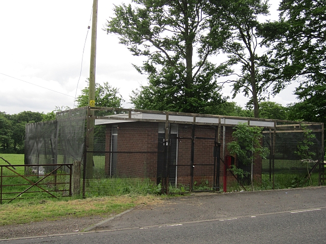
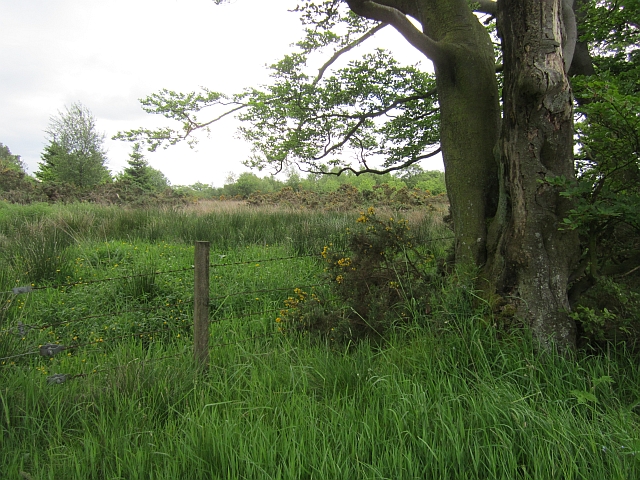
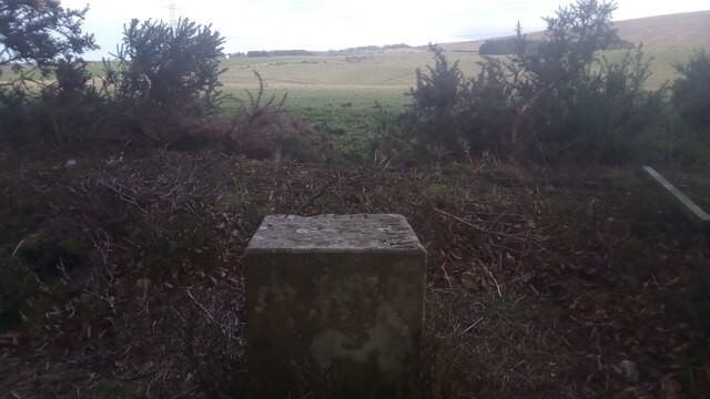
Edgehead Wood Images
Images are sourced within 2km of 55.869168/-3.4266946 or Grid Reference NT1064. Thanks to Geograph Open Source API. All images are credited.


Edgehead Wood is located at Grid Ref: NT1064 (Lat: 55.869168, Lng: -3.4266946)
Unitary Authority: West Lothian
Police Authority: The Lothians and Scottish Borders
What 3 Words
///importing.distanced.speech. Near Kirknewton, West Lothian
Nearby Locations
Related Wikis

Ritchie Camp
Ritchie Camp was a military base located near Kirknewton, West Lothian in Scotland. == History == Ritchie Camp was initially established during World War...

RAF Kirknewton
Royal Air Force Kirknewton, otherwise known as RAF Kirknewton, is a Royal Air Force station at Whitemoss, a mile south east of Kirknewton, West Lothian...

Kirknewton, West Lothian
Kirknewton (Scots: Kirknewtoun, Scottish Gaelic: Eaglais a' Bhaile Ùir) is a village formerly in the county of Midlothian and, since 1975, in West Lothian...
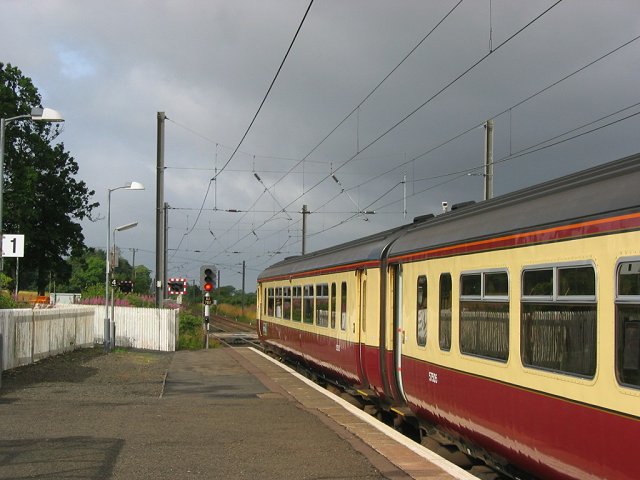
Kirknewton railway station
Kirknewton railway station is a railway station serving the village of Kirknewton in West Lothian, Scotland, Opened as Kirknewton in February 1848, the...
Related Videos

E-Flite v900
E-Flite v900 Rudder taped up due to problem with the horn.

Hobbyzone Aeroscout
James's first flight at Kirknewton.

35018 British India Line glides through Kirknewton Station 19/03/2022
35018 on her way to Edinburgh Waverley on a beautiful sunny Saturday morning.

Edinburgh Explorer Statesman- 47614&D1924'Crewe diesel Depot'(T&T) Edinburgh to Wolverhampton 1Z61
47614-D1924'Crewe diesel Depot' (T&T) Edinburgh to Wolverhampton returning south passing through Kirknewton railtour by ...
Nearby Amenities
Located within 500m of 55.869168,-3.4266946Have you been to Edgehead Wood?
Leave your review of Edgehead Wood below (or comments, questions and feedback).