West Bow Muir

Wood, Forest in Fife

Scotland

West Bow Muir

Loch Glow Dam and the Inneans Two of the three Inneans are visible here.
Loch Glow Dam and the Inneans Credit: Robert Struthers

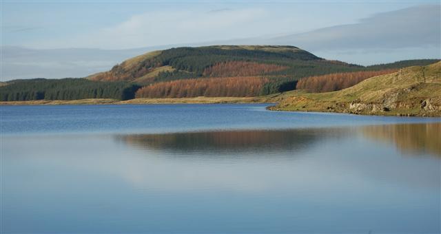
West Bow Muir is a picturesque woodland located in Fife, Scotland. Covering an area of approximately 50 hectares, it is characterized by its dense and diverse forest vegetation. The muir is situated near the village of Bow of Fife, and its proximity to the Lomond Hills Regional Park adds to its natural beauty and accessibility.

The woodland primarily consists of broadleaf trees such as oak, beech, and birch, creating a rich and vibrant habitat for various flora and fauna. The forest floor is adorned with a carpet of bluebells during springtime, creating a stunning display of colors. This natural spectacle attracts many nature enthusiasts and photographers to the area.

West Bow Muir offers a range of recreational activities for visitors. The well-maintained trails provide opportunities for walking, jogging, and cycling, allowing visitors to explore the woodland while enjoying the serene surroundings. The dense vegetation also provides a perfect habitat for birdwatching, with species such as woodpeckers, thrushes, and owls frequently spotted in the area.

The muir is also home to a variety of wildlife, including deer, badgers, and squirrels, making it an ideal destination for those interested in observing and learning about the local fauna. Additionally, the woodland provides an escape from the hustle and bustle of everyday life, offering visitors a peaceful and tranquil atmosphere.

Overall, West Bow Muir in Fife is a stunning woodland that offers a diverse range of flora and fauna, recreational activities, and a tranquil escape for nature enthusiasts.

If you have any feedback on the listing, please let us know in the comments section below.

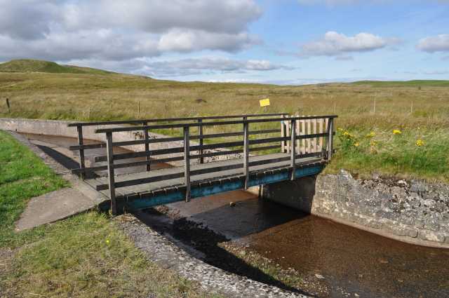
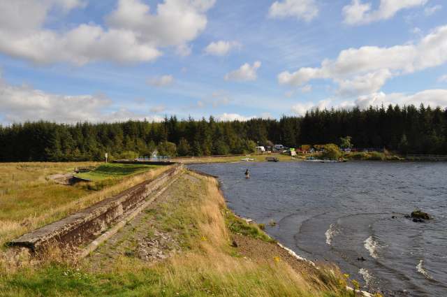
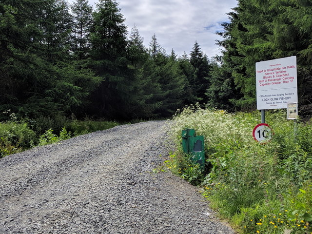
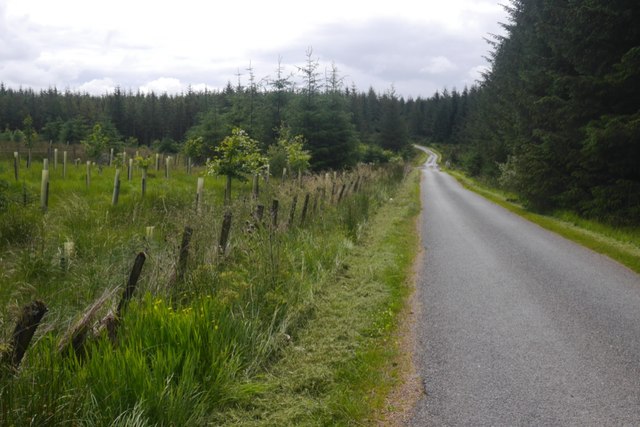
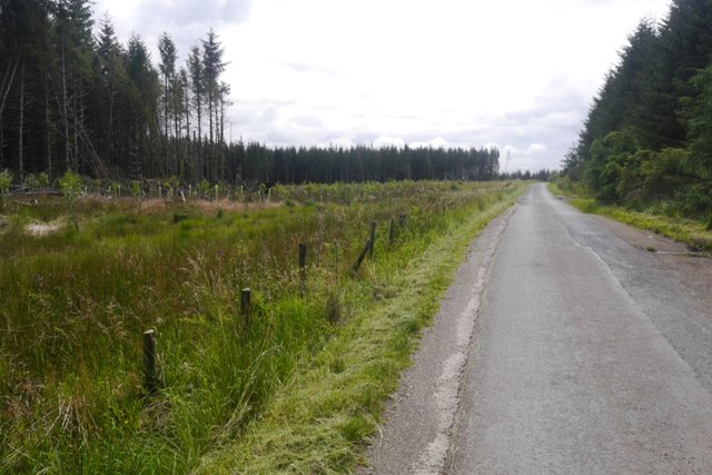
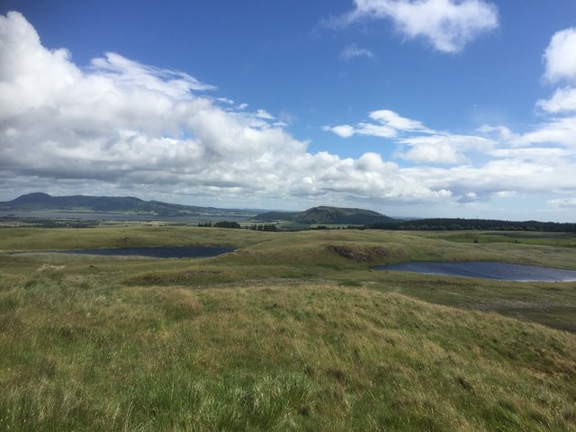
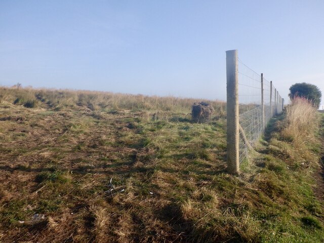
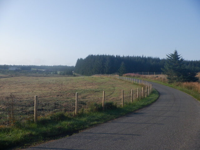
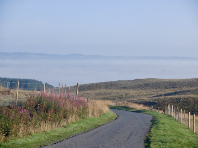
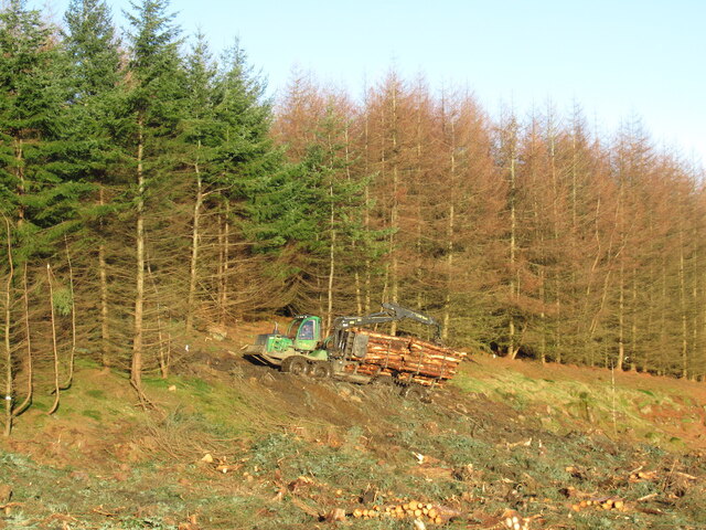
West Bow Muir Images

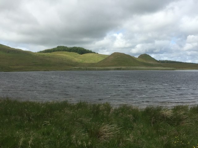
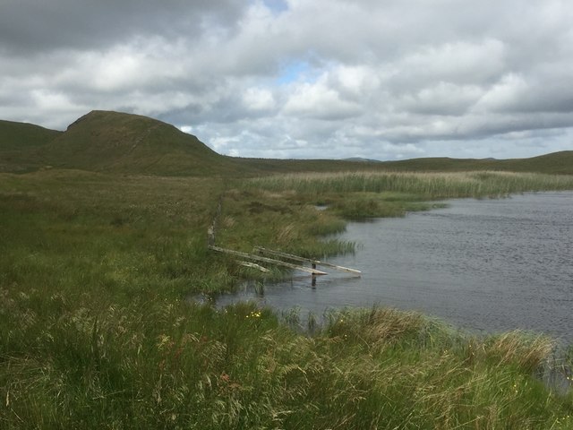
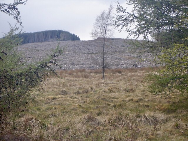
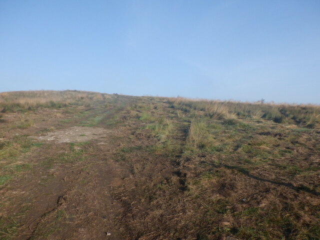
Images are sourced within 2km of 56.14049/-3.4407863 or Grid Reference NT1095. Thanks to Geograph Open Source API. All images are credited.

Loch Glow Dam and the Inneans Two of the three Inneans are visible here.
Loch Glow Dam and the Inneans
Two of the three Inneans are visible here.
Footbridge over Spillway The footbridge over the Loch Glow dam spillway.
Footbridge over Spillway
The footbridge over the Loch Glow dam spillway.
Loch Glow Dam Looking across the dam to the car park.
Loch Glow Dam
Looking across the dam to the car park.
Metal Stile, Loch Glow The steps are sturdy enough but the handrail on the other side is a bit loose.
Metal Stile, Loch Glow
The steps are sturdy enough but the handrail on the other side is a bit loose.
An Innean One of the three Innean hills to the north of Loch Glow.
An Innean
One of the three Innean hills to the north of Loch Glow.
Lurg Loch and Dow Loch More lochans than lochs. In the distance is Loch Leven and West Lomond Hill.
Lurg Loch and Dow Loch
More lochans than lochs. In the distance is Loch Leven and West Lomond Hill.
Gravel road for Loch Glow Fishery
Road over the Cleish Hills Top of the pass and entering Blairadam Forest.
Road over the Cleish Hills
Top of the pass and entering Blairadam Forest.
Road over the Cleish Hills Near the Loch Glow road end and there has been some recent clear fell here. The remaining trees have suffered a lot of wind throw.  A big block of forestry to the south west has recently been harvested, they will be here soon.
Road over the Cleish Hills
Near the Loch Glow road end and there has been some recent clear fell here. The remaining trees have suffered a lot of wind throw. A big block of forestry to the south west has recently been harvested, they will be here soon.
Lurg and Dow Lochs An unfrosted and very attractive unplanted bit of the Cleish Hills. There are a lot of paths here suggesting that during the lockdown period of 2020 this was a popular place with local people. It was very windy and Loch Leven showed a dirty colour due to disturbance of the sand on the loch bed.
Lurg and Dow Lochs
An unfrosted and very attractive unplanted bit of the Cleish Hills. There are a lot of paths here suggesting that during the lockdown period of 2020 this was a popular place with local people. It was very windy and Loch Leven showed a dirty colour due to disturbance of the sand on the loch bed.
Lurg Loch
Lurg Loch
Lurg Loch
Lurg Loch
Clearfell, Craigencrow Moss Widespread tree harvesting has revealed the mapped crags, long lost in dense woodland.
Clearfell, Craigencrow Moss
Widespread tree harvesting has revealed the mapped crags, long lost in dense woodland.
Tree planting, Nivingston Hill The lovely grassland walk to the Inneans has gone.   This was taken through a gap in the new deer fence, no doubt where one of the horrible mesh gates will go.
Tree planting, Nivingston Hill
The lovely grassland walk to the Inneans has gone. This was taken through a gap in the new deer fence, no doubt where one of the horrible mesh gates will go.
New fence, Nivingston Hill Prior to tree planting.
New fence, Nivingston Hill
Prior to tree planting.
Road over the Cleish Hills Trees are being planted on the right.
Road over the Cleish Hills
Trees are being planted on the right.
Cloud inversion seen from Nivingston Hill There was a thin layer of low cloud over Loch Leven as well as the Firth of Forth as the weather became more autumnal.
Cloud inversion seen from Nivingston Hill
There was a thin layer of low cloud over Loch Leven as well as the Firth of Forth as the weather became more autumnal.
Hauling timber, Blairadam Forest
Show me another place!

West Bow Muir is located at Grid Ref: NT1095 (Lat: 56.14049, Lng: -3.4407863)

Unitary Authority: Fife

Police Authority: Fife

What 3 Words

///recruiter.cosmic.prefer. Near Kelty, Fife

Related Wikis

Nearby Amenities

Located within 500m of 56.14049,-3.4407863
Created By: Kyle Gordon
Lat/Long: 56.1366356/-3.4443779
Created By: Kyle Gordon
Lat/Long: 56.1376878/-3.4445431
Created By: Kyle Gordon
Lat/Long: 56.1387313/-3.4447518
Created By: Kyle Gordon
Lat/Long: 56.1403052/-3.4450996
Created By: Kyle Gordon
Lat/Long: 56.140853/-3.4452127
The data included in this document is from www.openstreetmap.org. The data is made available under ODbL.

Have you been to West Bow Muir?

Leave your review of West Bow Muir below (or comments, questions and feedback).