Corsincon Wood
Wood, Forest in Peeblesshire
Scotland
Corsincon Wood

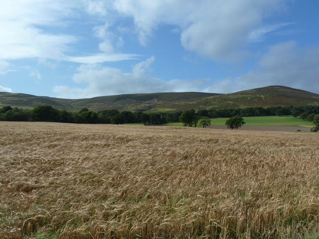
Corsincon Wood is a picturesque forest located in Peeblesshire, Scotland. With its stunning natural beauty and diverse wildlife, it has become a popular destination for nature enthusiasts and hikers alike.
Covering an area of approximately 500 acres, Corsincon Wood is predominantly made up of native broadleaf trees such as oak, birch, and beech. These trees provide a rich and vibrant canopy, creating a tranquil and serene atmosphere throughout the forest. The undergrowth is adorned with a variety of wildflowers, adding bursts of color to the landscape.
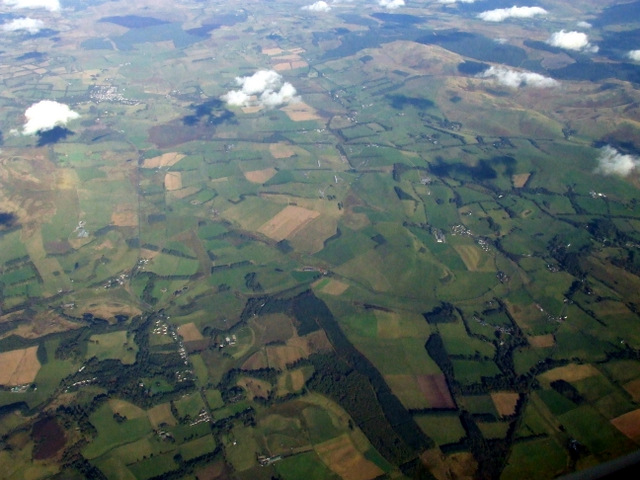
The forest is crisscrossed with well-maintained walking trails, allowing visitors to explore its many hidden gems. These paths lead to beautiful viewpoints, where one can admire the breathtaking vistas of the surrounding rolling hills and valleys. The tranquil sound of birdsong fills the air, creating a soothing backdrop to the woodland experience.
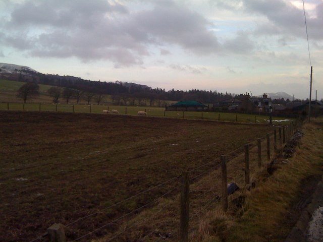
Corsincon Wood is home to a diverse range of wildlife. Red squirrels can be spotted darting between the trees, while roe deer graze in clearings. Birdwatchers can catch a glimpse of species such as woodpeckers, owls, and various songbirds. The forest also provides a habitat for small mammals, including badgers and foxes.
For those seeking a peaceful retreat in nature, Corsincon Wood offers a sanctuary away from the hustle and bustle of everyday life. Whether it's a leisurely stroll, birdwatching, or simply enjoying the serenity of the surroundings, this enchanting forest provides a truly immersive experience in the heart of Peeblesshire.
If you have any feedback on the listing, please let us know in the comments section below.
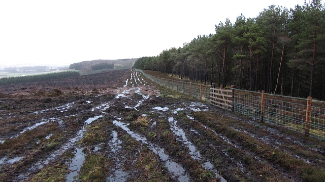
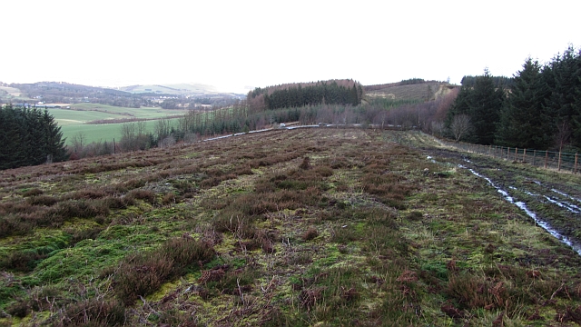
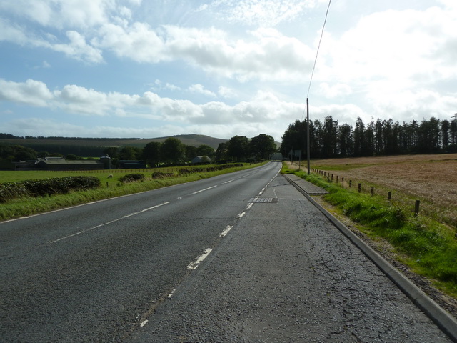
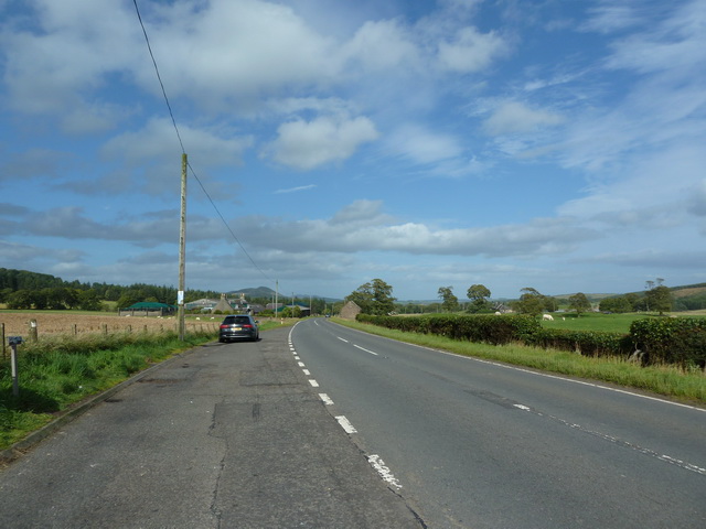
Corsincon Wood Images
Images are sourced within 2km of 55.685599/-3.4245669 or Grid Reference NT1044. Thanks to Geograph Open Source API. All images are credited.


Corsincon Wood is located at Grid Ref: NT1044 (Lat: 55.685599, Lng: -3.4245669)
Unitary Authority: The Scottish Borders
Police Authority: The Lothians and Scottish Borders
What 3 Words
///unloading.blushes.thud. Near West Linton, Scottish Borders
Nearby Locations
Related Wikis

Dolphinton
Dolphinton is a village and parish in Lanarkshire, Scotland. It is located 7 miles (11 km) northeast of Biggar, 11 miles (18 km) northeast of Carstairs...

Kirkurd
Kirkurd is a parish in Peeblesshire in the Scottish Borders situated 3 miles south-east of Dolphinton and 6 miles north-east of Broughton. Tarth Water...
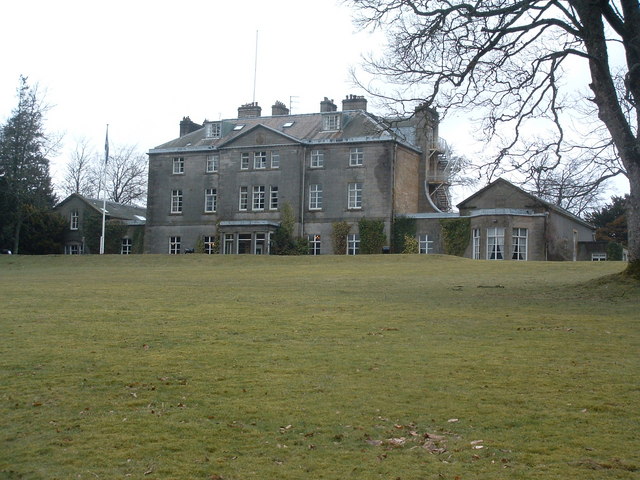
Castle Craig Hospital
Castle Craig Hospital is a private residential drug and alcohol rehabilitation clinic. It is located in Peeblesshire, Scotland. Castle Craig is an 18th...
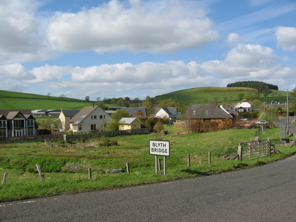
Blyth Bridge
Blyth Bridge is a small hamlet in the Scottish Borders area of Scotland, near to West Linton. It is located in a bend on the A701 which goes from Moffat...
Nearby Amenities
Located within 500m of 55.685599,-3.4245669Have you been to Corsincon Wood?
Leave your review of Corsincon Wood below (or comments, questions and feedback).