Castlehead
Settlement in Renfrewshire
Scotland
Castlehead
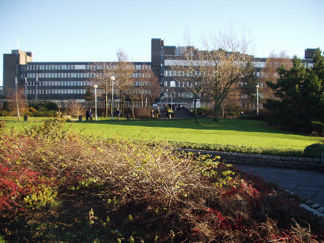
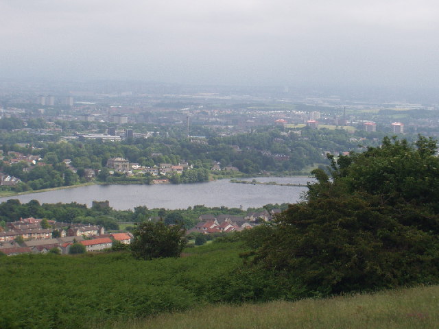
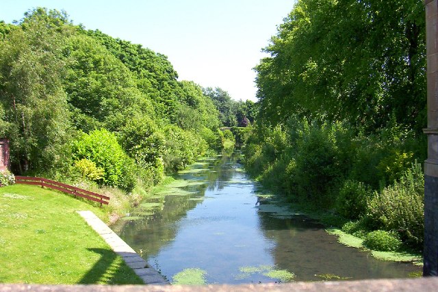
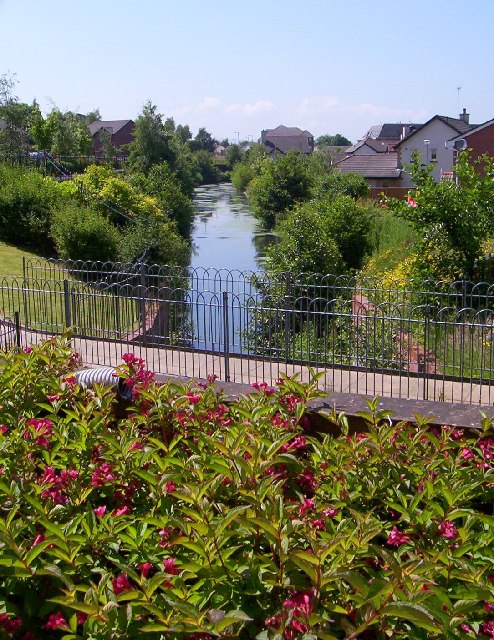
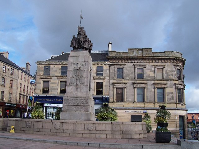
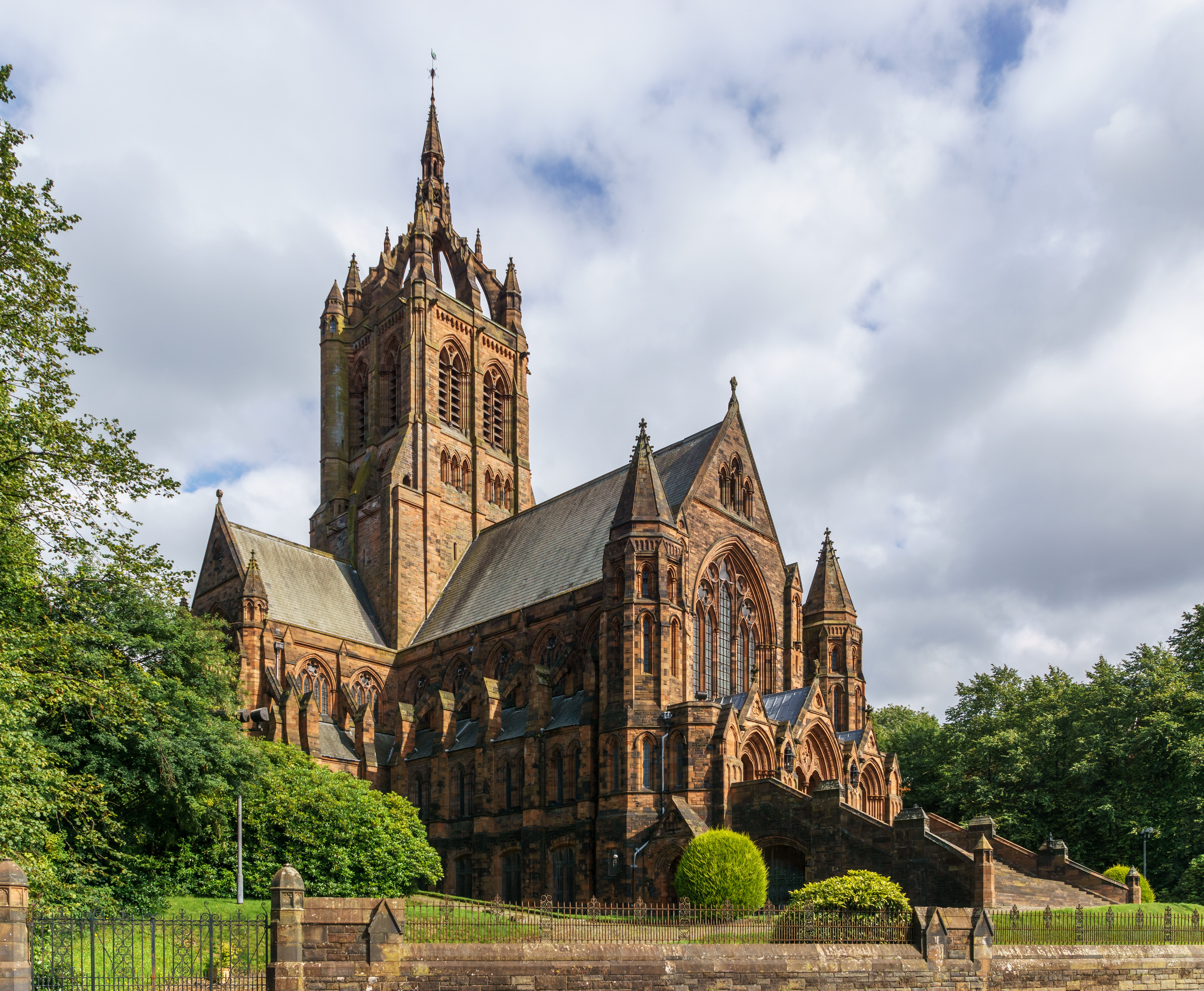
Castlehead is a small residential area located in the town of Paisley, within the council area of Renfrewshire, Scotland. Situated on a hill overlooking the town, Castlehead offers breathtaking views of the surrounding landscape, including Paisley Abbey and the River Cart.
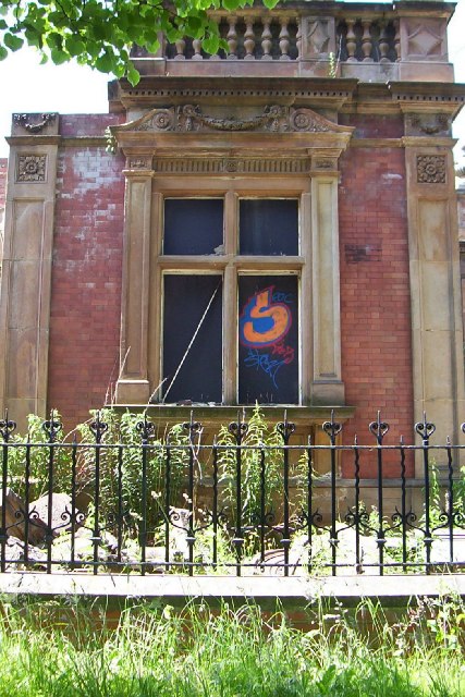
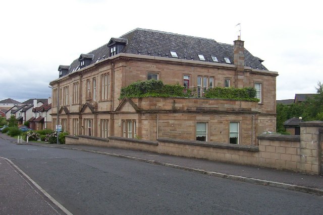
The area is predominantly residential, characterized by a mix of traditional stone-built houses and modern developments. Its quiet and peaceful atmosphere appeals to families and professionals alike, seeking a tranquil retreat away from the bustling town center. The community is tight-knit and friendly, fostering a sense of belonging and camaraderie among its residents.
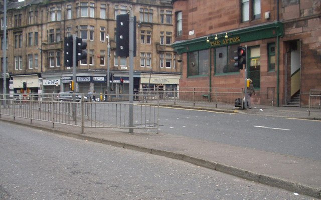
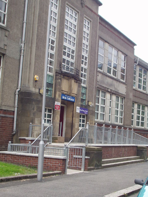
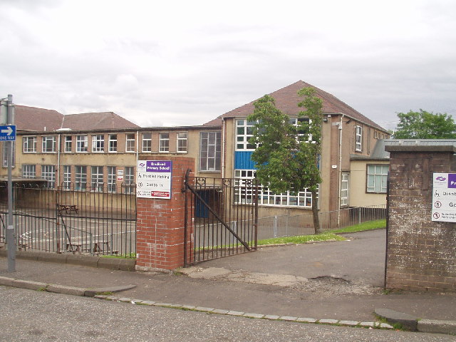
Castlehead is home to the renowned Castlehead High School, providing excellent education for local students. The area also benefits from its proximity to various amenities and facilities, including shops, restaurants, and recreational areas. The nearby Gleniffer Braes Country Park offers residents an opportunity to enjoy nature walks, stunning viewpoints, and outdoor activities, making it a popular destination for locals and visitors alike.
Transportation in Castlehead is convenient, with regular bus services connecting the area to Paisley town center and the wider Renfrewshire region. The nearby M8 motorway provides quick access to Glasgow city center and other major towns in the area.
All in all, Castlehead is a picturesque residential area with an idyllic setting, offering a high quality of life and a strong sense of community spirit.
If you have any feedback on the listing, please let us know in the comments section below.
Castlehead Images
Images are sourced within 2km of 55.835895/-4.4446195 or Grid Reference NS4763. Thanks to Geograph Open Source API. All images are credited.


Castlehead is located at Grid Ref: NS4763 (Lat: 55.835895, Lng: -4.4446195)
Unitary Authority: Renfrewshire
Police Authority: Renfrewshire and Inverclyde
What 3 Words
///page.ever.shapes. Near Paisley, Renfrewshire
Nearby Locations
Related Wikis

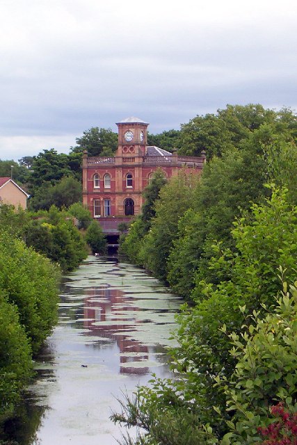
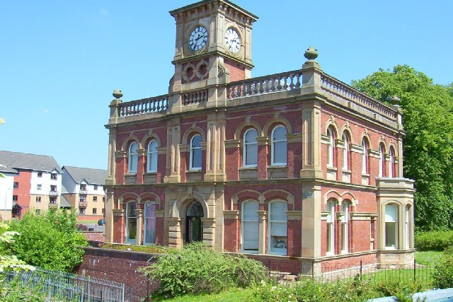
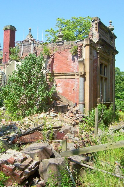
Riccartsbar Hospital
Riccartsbar Hospital was a mental health facility in Paisley, Renfrewshire, Scotland. == History == The hospital, which was designed by John Honeyman,...

Royal Alexandra Hospital, Paisley
The Royal Alexandra Hospital (RAH) is the main hospital in Paisley serving a large catchment area stretching all the way to Oban and Argyll. The hospital...
Paisley West railway station
Paisley West railway station was a railway station in Paisley, Renfrewshire, Scotland. The station was originally part of the Paisley Canal Line. ��2...

Castlehead
Castlehead is a district of Paisley in Scotland. It is a heavily wooded area of Victorian villas where many of Paisley's most influential industrialists...
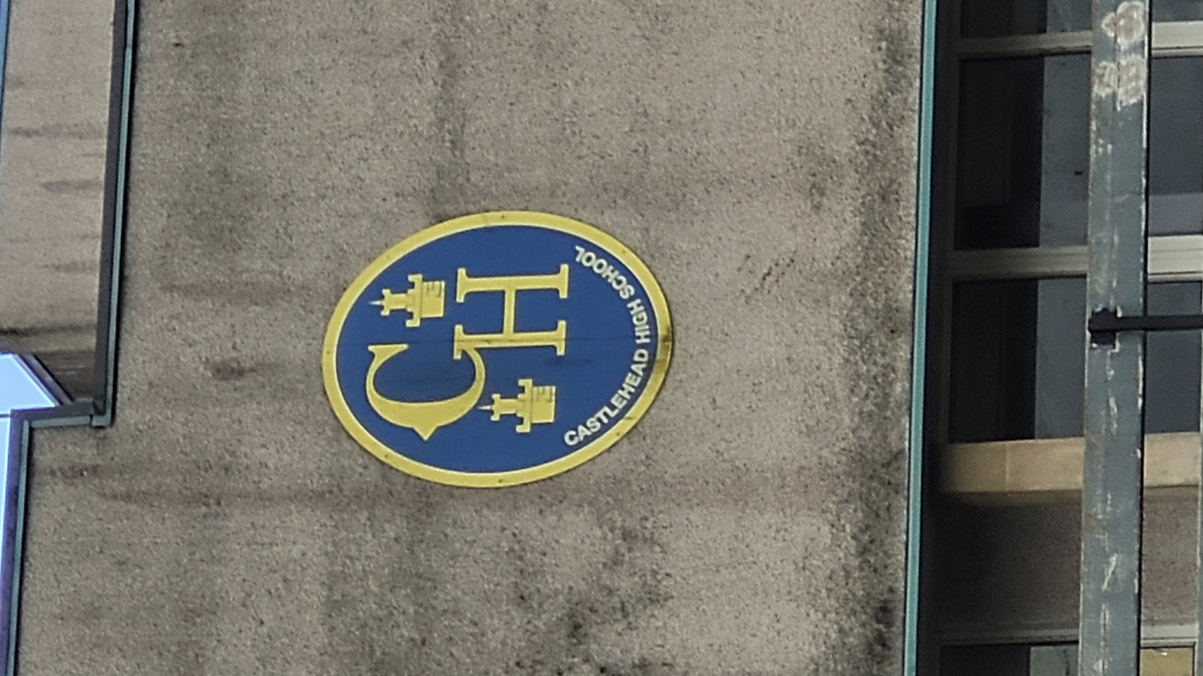
Castlehead High School
Castlehead High School is a non-denominational, mixed state secondary school in Paisley, Renfrewshire, Scotland. It was opened in 1971. In 1989, John Neilson...
Paisley canal disaster
The Paisley Canal Disaster occurred on 10 November 1810 on the Glasgow, Paisley and Johnstone Canal, a canal linking Glasgow to Paisley and Johnstone in...

Ferguslie railway station
Ferguslie was a railway station to the west of Paisley, Renfrewshire, Scotland. It was constructed as a planned extension of railway passenger services...
Coats Paisley
Coats Paisley is a reception hall which stands at the west end of the High Street in Paisley, Scotland. The building was the home of Thomas Coats Memorial...
Nearby Amenities
Located within 500m of 55.835895,-4.4446195Have you been to Castlehead?
Leave your review of Castlehead below (or comments, questions and feedback).