Buckie Braes

Wood, Forest in Perthshire

Scotland

Buckie Braes

Roundabout at Broxden, A9 The A9 is a strategic link between the Highlands of Scotland and the Central Belt. It runs 279 miles from junction 5 of the M9 at Polmont to Scrabster. Originally it ran from Edinburgh.
<span class="nowrap"><a title="https://www.sabre-roads.org.uk/wiki/index.php?title=A9" rel="nofollow ugc noopener" href="https://www.sabre-roads.org.uk/wiki/index.php?title=A9">Link</a><img style="margin-left:2px;" alt="External link" title="External link - shift click to open in new window" src="https://s1.geograph.org.uk/img/external.png" width="10" height="10"/></span>
Roundabout at Broxden, A9 Credit: N Chadwick

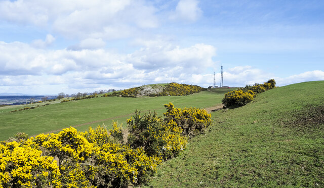
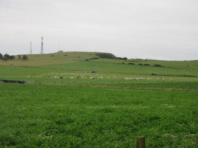
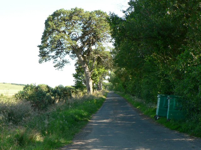
Buckie Braes is a picturesque woodland area located in Perthshire, Scotland. Spread across several acres, this enchanting forest boasts an array of stunning natural features and offers a tranquil setting for outdoor enthusiasts and nature lovers.

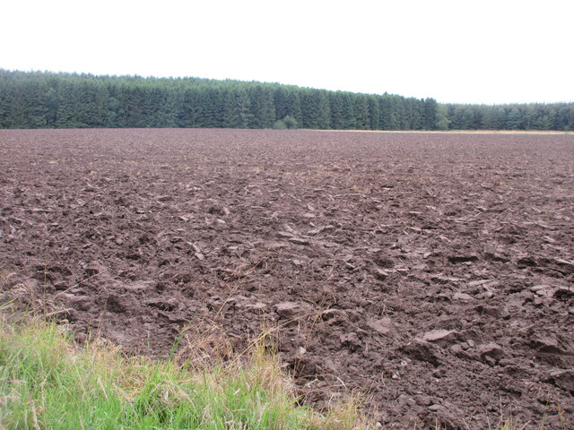
The woodland is characterized by its diverse range of trees, including towering Scots pines, graceful birches, and sturdy oaks. These trees create a dense canopy that provides shade during the summer months and a haven for wildlife. The forest floor is adorned with carpets of wildflowers, adding a burst of color to the landscape.

Buckie Braes is crisscrossed by a network of walking trails, allowing visitors to explore its beauty at their own pace. These trails vary in difficulty, catering to both casual strollers and experienced hikers. Along the way, hikers may come across babbling brooks, small waterfalls, and hidden picnic spots, making it an ideal destination for a family day out.

The woodland is also home to a diverse range of wildlife. Birdwatchers can spot species such as woodpeckers, owls, and red kites soaring through the sky, while deer and red squirrels are often seen darting between the trees.

Buckie Braes is conveniently located near the town of Perth, making it easily accessible for both locals and tourists. With its tranquil atmosphere, breathtaking scenery, and abundance of flora and fauna, Buckie Braes offers a rejuvenating escape into nature for all who visit.

If you have any feedback on the listing, please let us know in the comments section below.
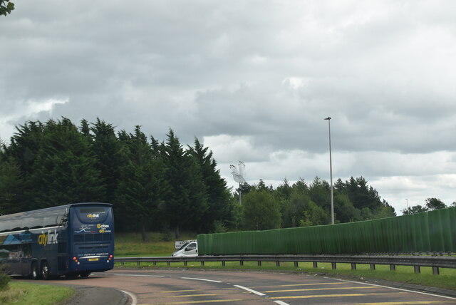
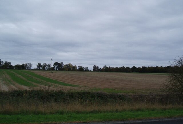
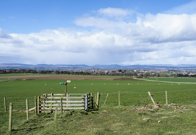
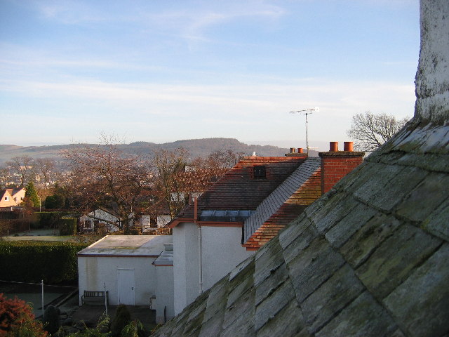
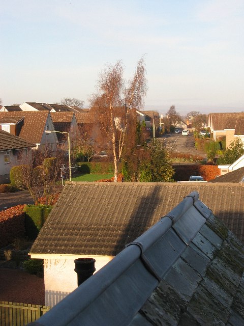
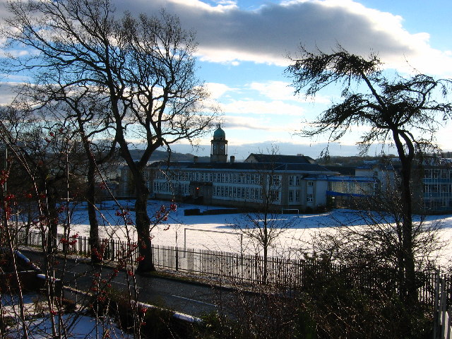
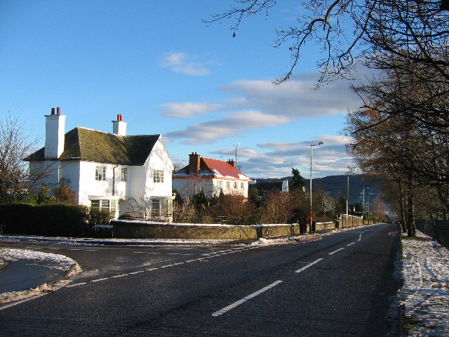
Buckie Braes Images

Images are sourced within 2km of 56.384205/-3.45801 or Grid Reference NO1022. Thanks to Geograph Open Source API. All images are credited.

Roundabout at Broxden, A9 The A9 is a strategic link between the Highlands of Scotland and the Central Belt. It runs 279 miles from junction 5 of the M9 at Polmont to Scrabster. Originally it ran from Edinburgh.
<span class="nowrap"><a title="https://www.sabre-roads.org.uk/wiki/index.php?title=A9" rel="nofollow ugc noopener" href="https://www.sabre-roads.org.uk/wiki/index.php?title=A9">Link</a><img style="margin-left:2px;" alt="External link" title="External link - shift click to open in new window" src="https://s1.geograph.org.uk/img/external.png" width="10" height="10"/></span>
Roundabout at Broxden, A9
The A9 is a strategic link between the Highlands of Scotland and the Central Belt. It runs 279 miles from junction 5 of the M9 at Polmont to Scrabster. Originally it ran from Edinburgh. LinkExternal link
Field alongside the M90 near Broxden
Footpaths and signpost on north side of Mailer Hill The signpost indicates three separate routes developed in the area as 'core paths'. Buildings in the city of Perth are in the distance.
Footpaths and signpost on north side of Mailer Hill
The signpost indicates three separate routes developed in the area as 'core paths'. Buildings in the city of Perth are in the distance.
Gorse bushes west of Mailer Hill The bushes lie along the ridge of Mailer Hill, west of its summit which is at a trig point at the centre of the image.
Gorse bushes west of Mailer Hill
The bushes lie along the ridge of Mailer Hill, west of its summit which is at a trig point at the centre of the image.
Livestock under Mailer Hill Cattle and sheep spread out under the north-western flank of Mailer Hill.
Livestock under Mailer Hill
Cattle and sheep spread out under the north-western flank of Mailer Hill.
Ploughed field next to the B9112 Ploughed up field adjacent to the B9112, with Broxden Wood beyond.
Ploughed field next to the B9112
Ploughed up field adjacent to the B9112, with Broxden Wood beyond.
Perth Travelodge A new travelodge in the sun and the snow!
Perth Travelodge
A new travelodge in the sun and the snow!
Perth Academy Perth Academy is the white building with the central clock tower. The lower red brick buildings in front are Viewlands Primary School.
Between them they straddle the corners of four squares, but they seem to take up more space on this square than the others. This picture was taken from outside the office buildings at NO098222.
Perth Academy
Perth Academy is the white building with the central clock tower. The lower red brick buildings in front are Viewlands Primary School. Between them they straddle the corners of four squares, but they seem to take up more space on this square than the others. This picture was taken from outside the office buildings at NO098222.
Private road to Woodhead Looking south from junction with B9112.
Private road to Woodhead
Looking south from junction with B9112.
Electricity pylons Looking NNW.
Electricity pylons
Looking NNW.
Perth High School
Perth High School
Perth Western Edge The site of most recent residential development in Perth. The line of trees (just starting to show autumn colour) marks the boundary between two separate phases of development a few decades apart.
Perth Western Edge
The site of most recent residential development in Perth. The line of trees (just starting to show autumn colour) marks the boundary between two separate phases of development a few decades apart.
November sky over Perthshire farmland Looking northeast across a fresh field from just north of Woodhead of Mailer (Southwest of Perth) on a beautiful November day.
November sky over Perthshire farmland
Looking northeast across a fresh field from just north of Woodhead of Mailer (Southwest of Perth) on a beautiful November day.
Woodhead of Mailer Looking southeast from Woodhead of Mailer across grazing land, with fallen tree in the foreground and Earn valley in the distance.
Woodhead of Mailer
Looking southeast from Woodhead of Mailer across grazing land, with fallen tree in the foreground and Earn valley in the distance.
Santa's eye-view of Viewlands, Perth Looking east across Perth towards Kinnoull Hill, Christmas Day 2005
Santa's eye-view of Viewlands, Perth
Looking east across Perth towards Kinnoull Hill, Christmas Day 2005
Athollbank Drive Street in Viewlands, Perth on Christmas Day 2005
Athollbank Drive
Street in Viewlands, Perth on Christmas Day 2005
Perth Academy Viewlands Road and Perth Academy on New Year's Day 2006 at 11.50am. The school straddles four squares, with the clocktower at NO100230 usefully pinpointing the time.
Perth Academy
Viewlands Road and Perth Academy on New Year's Day 2006 at 11.50am. The school straddles four squares, with the clocktower at NO100230 usefully pinpointing the time.
Viewlands Road Beautiful crisp start to 2006 as we head off for a stroll at exactly 12 noon
Viewlands Road
Beautiful crisp start to 2006 as we head off for a stroll at exactly 12 noon
Show me another place!

Buckie Braes is located at Grid Ref: NO1022 (Lat: 56.384205, Lng: -3.45801)

Unitary Authority: Perth and Kinross

Police Authority: Tayside

What 3 Words

///sing.fluid.foods. Near Perth, Perth & Kinross

Nearby Locations

Buckie Braes Craigie

Related Wikis

Cherrybank Gardens

Cherrybank Gardens was a public garden in the southwestern outskirts of the Scottish city of Perth. Originally Bell's Cherrybank Gardens, when it was created...

Pitheavlis Castle

Pitheavlis Castle, located in Perth, Scotland, was built in the late 16th century. Now a Category A listed building, it stands in a residential neighbourhood...

Viewlands House

Viewlands House is an historic building in the Viewlands area immediately to the west of the centre of Perth, Perth and Kinross, Scotland. Located on Viewlands...

Craigie, Perth, Scotland

Craigie (formerly Craigie Knowes) is a residential area of Perth, Scotland, immediately to the south and southwest of the city centre, beyond the South...
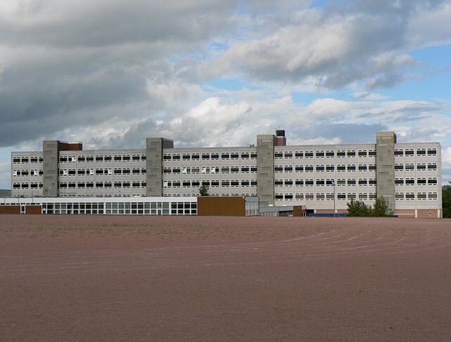
Perth High School

Perth High School is a six-year, non-denominational comprehensive secondary school in Perth, Scotland. Established in 1950 at Gowans Terrace in a post...

St Leonard's Nunnery

St. Leonards Nunnery was a house of Augustininian canonesses at Perth, Scotland, founded in the 13th century. After King Edward I of England's foray in...

Perth Royal Infirmary

Perth Royal Infirmary is a district hospital in Perth. The Royal Infirmary serves a population of around 182,000 across the City of Perth and the wider...

Perth railway station (Scotland)

Perth railway station is a railway station located in the city of Perth, Scotland, on both the Glasgow to Dundee line and the Highland Main Line. It is...

Nearby Amenities

Located within 500m of 56.384205,-3.45801
Cycleway: asl
Lat/Long: 56.3869781/-3.4592865
Traffic Signals
Traffic Signals: signal
Lat/Long: 56.3871505/-3.459264
Crossing
Crossing: traffic_signals
Lat/Long: 56.3874245/-3.4611636
Turning Circle
Lat/Long: 56.3870114/-3.4517948
Direction: backward
Traffic Calming: bump
Lat/Long: 56.3880675/-3.4598828
Noexit: yes
Lat/Long: 56.3885385/-3.4565565
Direction: backward
Traffic Calming: bump
Lat/Long: 56.3877297/-3.4578005
Turning Circle
Lat/Long: 56.3874575/-3.4523965
Crossing
Crossing: traffic_signals
Crossing Island: no
Source: survey
Tactile Paving: yes
Lat/Long: 56.3875904/-3.4561508
Barrier: entrance
Entrance: main
Source: local_knowledge
Lat/Long: 56.3833993/-3.4622076
Telephone
Booth: KX100
Covered: booth
Source: survey
Lat/Long: 56.3871368/-3.4568028
Cycleway: asl
Lat/Long: 56.3872979/-3.4609077
Crossing
Crossing: traffic_signals
Lat/Long: 56.3871625/-3.4594299
Linen Basket
Addr City: Perth
Addr Housenumber: 186-188
Addr Postcode: PH2 0NA
Addr Street: Glasgow Road
Shop: laundry
Lat/Long: 56.3876135/-3.4557373
Post Box
Collection Times: Mo-Fr 09:00; Sa 07:00
Manufacturer: McDowall, Steven & Co Ltd Falkirk
Operator: Royal Mail
Operator Wikidata: Q638098
Post Box Mounting: brick_pillar
Post Box Type: wall
Ref: PH2 176D
Royal Cypher: scottish_crown
Source: survey;local knowledge
Lat/Long: 56.3876528/-3.4556547
Buckie Braes
Name En: Buckie Braes
Tourism: picnic_site
Lat/Long: 56.3838546/-3.4582381
General Accident Glacial Boulder
Historic: monument
Inscription: This nine tonglacial boulder was found during early excavation of the site for this building. It was positioned in this courtyard by David Blaikie Chief General Manager on June 30th 1981. The day of his retirement from the corporation. General Accident.
Lat/Long: 56.3837205/-3.4614138
Give Way
Direction: forward
Lat/Long: 56.3860508/-3.4614121
Bus Stop
Covered: no
Naptan AtcoCode: 64802697
Naptan NaptanCode: 73729587
Lat/Long: 56.3873183/-3.4637934
Bus Stop
Necessity Brae
Bus: yes
Covered: yes
Naptan AtcoCode: 64801264
Naptan NaptanCode: 73725638
Public Transport: platform
Tactile Paving: no
Lat/Long: 56.3871818/-3.4601645
Direction: both
Traffic Calming: bump
Lat/Long: 56.3882477/-3.4603328
Direction: backward
Traffic Calming: bump
Lat/Long: 56.3878574/-3.4588792
Direction: backward
Traffic Calming: bump
Lat/Long: 56.3876575/-3.4571283
Give Way
Direction: forward
Lat/Long: 56.3879389/-3.4622443
Give Way
Direction: backward
Lat/Long: 56.3878374/-3.4619269
Give Way
Direction: backward
Lat/Long: 56.3878022/-3.4613253
Give Way
Direction: backward
Lat/Long: 56.3881732/-3.460048
Stop
Direction: backward
Lat/Long: 56.3875524/-3.4565101
Give Way
Direction: forward
Lat/Long: 56.388232/-3.4543929
Give Way
Direction: forward
Lat/Long: 56.3866827/-3.4593247
Give Way
Direction: backward
Lat/Long: 56.3858757/-3.4619176
Give Way
Direction: forward
Lat/Long: 56.3850279/-3.4654651
Bus Stop
Braeside Gardens
Bus: yes
Naptan AtcoCode: 64802057
Naptan NaptanCode: 73725639
Public Transport: platform
Lat/Long: 56.3881122/-3.4544502
Bus Stop
Necessity Brae
Bus: yes
Naptan AtcoCode: 64801265
Naptan NaptanCode: 73723548
Public Transport: platform
Lat/Long: 56.3872806/-3.459879
Bus Stop
Kinmond Drive
Bus: yes
Naptan AtcoCode: 64804952
Naptan NaptanCode: 73729475
Public Transport: platform
Lat/Long: 56.3862515/-3.4604044
Bus Stop
Aviva
Bus: yes
Public Transport: platform
Lat/Long: 56.3826483/-3.4628675
Bus Stop
Aviva
Bus: yes
Public Transport: platform
Lat/Long: 56.3825023/-3.4628439
Bus Stop
Kinmond Drive
Bus: yes
Public Transport: platform
Lat/Long: 56.386303/-3.4605008
Crossing
Crossing: traffic_signals
Crossing Island: no
Crossing Ref: pelican
Kerb: flush
Tactile Paving: yes
Lat/Long: 56.3870081/-3.4592802
Louise
Addr City: Perth
Addr Housenumber: 190
Addr Postcode: PH2 0NA
Addr Street: Glasgow Road
Phone: +44 1738 634244
Shop: hairdresser
Lat/Long: 56.3875779/-3.4558706
Noexit: yes
Lat/Long: 56.3866867/-3.4595668
Traffic Signals
Traffic Signals: signal
Lat/Long: 56.3873225/-3.4612026
Crossing
Crossing: traffic_signals
Lat/Long: 56.3873389/-3.4613995
Generator Method: photovoltaic
Generator Output Electricity: yes
Generator Source: solar
Generator Type: solar_photovoltaic_panel
Power: generator
Lat/Long: 56.3867377/-3.461942
Direction: forward
Traffic Calming: bump
Lat/Long: 56.387604/-3.4555214
Direction: forward
Traffic Calming: bump
Lat/Long: 56.3873309/-3.4562626
Direction: forward
Traffic Calming: bump
Lat/Long: 56.3871812/-3.4567356
Cycleway: asl
Lat/Long: 56.3873456/-3.4614795
Crossing
Crossing: traffic_signals
Lat/Long: 56.3873059/-3.4610032
Cycleway: asl
Lat/Long: 56.3874756/-3.4611739
Cycleway: asl
Lat/Long: 56.3871728/-3.4595284
Cycleway: asl
Lat/Long: 56.3871563/-3.4589808
Crossing
Crossing: traffic_signals
Crossing Island: no
Lat/Long: 56.387153/-3.459022
Bus Stop
Bench: yes
Naptan AtcoCode: 64802023
Naptan NaptanCode: 73724584
Shelter: yes
Tactile Paving: no
Lat/Long: 56.3877365/-3.4611775
Material: wood
Power: pole
Lat/Long: 56.3800417/-3.4562998
The data included in this document is from www.openstreetmap.org. The data is made available under ODbL.

Have you been to Buckie Braes?

Leave your review of Buckie Braes below (or comments, questions and feedback).