Hagierae Moss
Wood, Forest in Midlothian
Scotland
Hagierae Moss
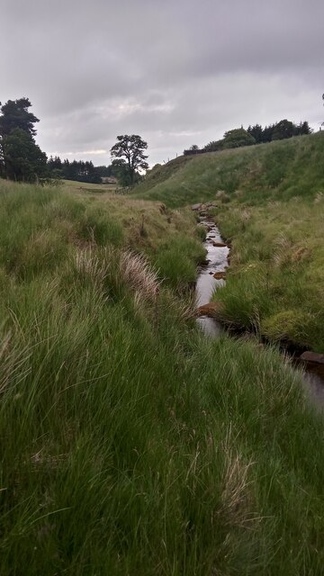
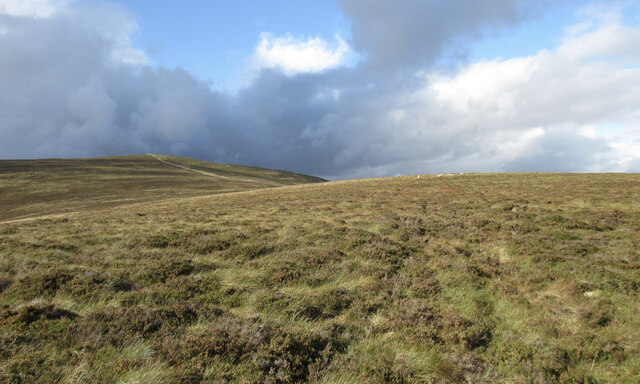
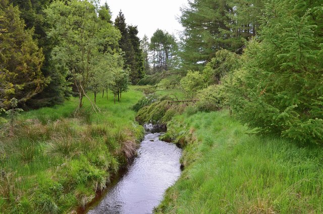
Hagierae Moss, located in Midlothian, Scotland, is a picturesque woodland area known for its abundant growth of moss. This natural forest, often referred to as "Wood" or "Forest" by locals, covers a vast expanse and is home to a diverse range of flora and fauna.
The defining feature of Hagierae Moss is the dense carpet of moss that covers the forest floor. The moss, which thrives in the damp and shaded conditions, creates a vibrant green landscape that is both enchanting and tranquil. This unique environment attracts nature enthusiasts, photographers, and hikers who seek solace in its peaceful ambiance.
The moss-covered trees, predominantly oak and birch, provide a beautiful backdrop to the woodland. Their gnarled trunks and sprawling branches create a captivating sight, especially when adorned with the delicate tendrils of moss. The forest is also home to various species of ferns, wildflowers, and mushrooms, adding to its diverse and captivating ecosystem.
Hagierae Moss is not only visually appealing but also serves as a crucial habitat for a wide variety of wildlife. Birdwatchers can spot numerous species of birds, including woodpeckers, owls, and thrushes, while small mammals such as squirrels, rabbits, and hedgehogs frequently scurry through the undergrowth. The forest is also home to several rare species of insects and spiders, making it a haven for nature enthusiasts and researchers alike.
Visitors to Hagierae Moss can enjoy a peaceful and immersive experience in nature. The forest offers various walking trails and picnic spots, allowing visitors to explore its beauty at their own pace. It is a place where one can escape the hustle and bustle of everyday life and immerse themselves in the tranquility of nature.
If you have any feedback on the listing, please let us know in the comments section below.
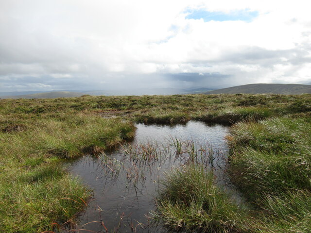
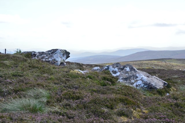
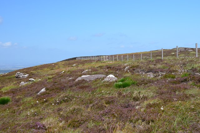
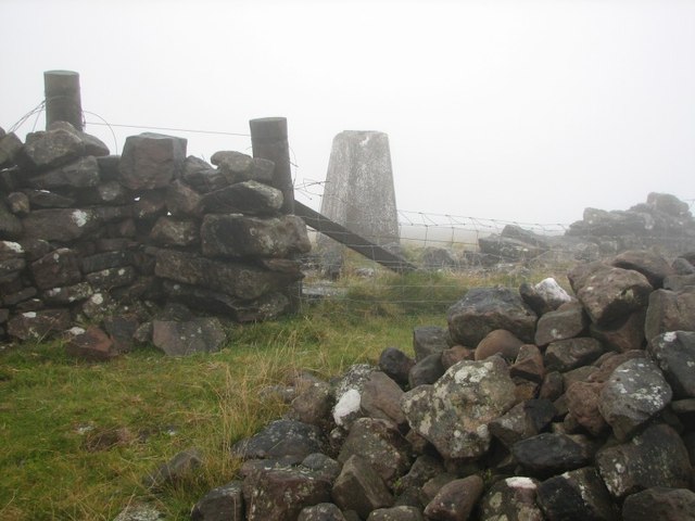
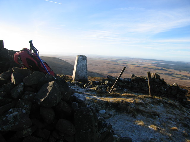
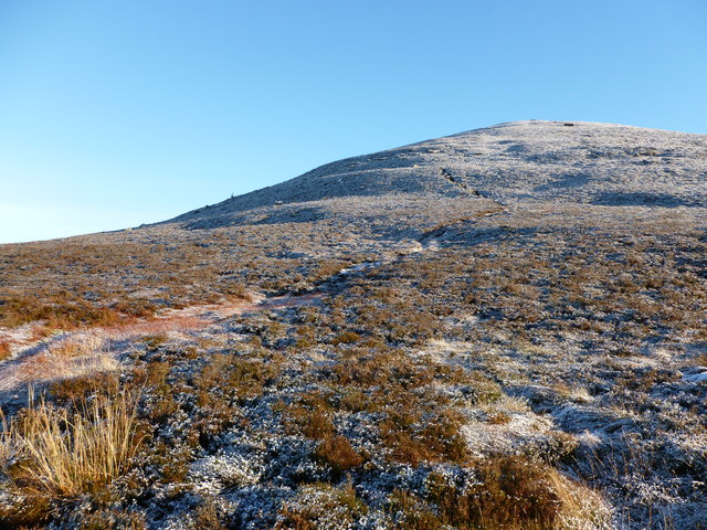
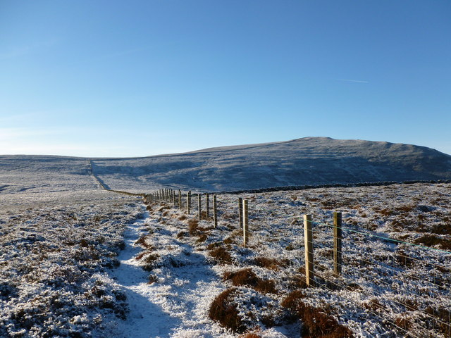
Hagierae Moss Images
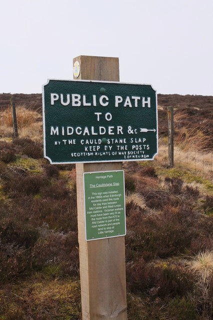
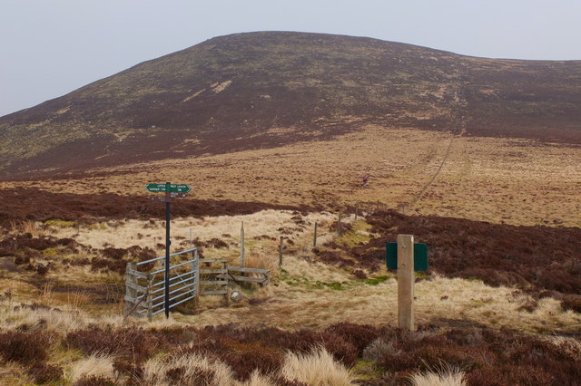
Images are sourced within 2km of 55.817228/-3.4398752 or Grid Reference NT0959. Thanks to Geograph Open Source API. All images are credited.

Hagierae Moss is located at Grid Ref: NT0959 (Lat: 55.817228, Lng: -3.4398752)
Unitary Authority: West Lothian
Police Authority: The Lothians and Scottish Borders
What 3 Words
///colonies.flopping.leap. Near Kirknewton, West Lothian
Nearby Locations
Related Wikis

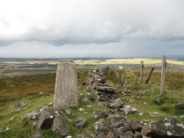
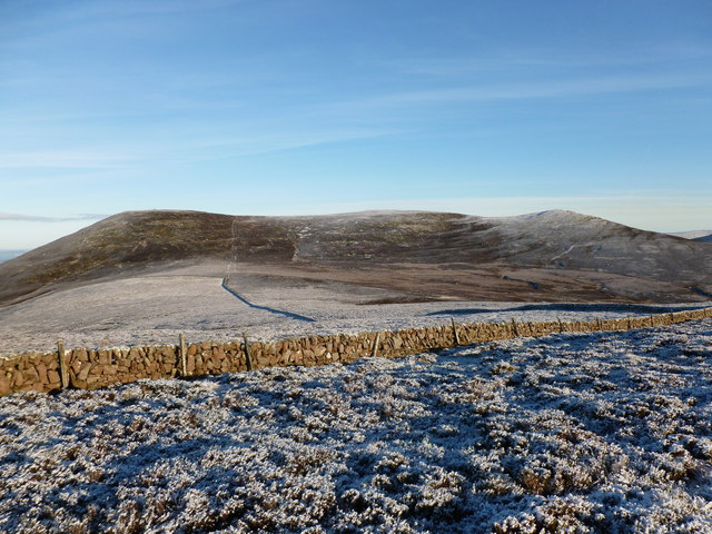
West Cairn Hill
West Cairn Hill is a hill in the Pentland Hills range of Scotland. With a height of 562 m (1,844 ft), it is the fifth highest elevation and lies on the...
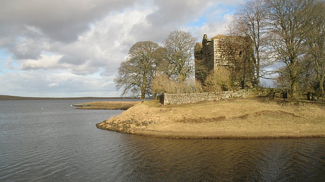
Cairns Castle
Cairns Castle is a ruined keep, dating from the 15th century. It is located on the northern slope of the Pentland Hills, around 6.5 miles (10.5 km) south...

Harperrig Reservoir
Harperrig Reservoir is a reservoir in West Lothian, Scotland, to the north of the Pentland Hills, four miles (6.4 km) south of Mid Calder. The Water of...

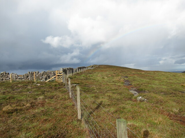
Cauldstane Slap
Cauldstane Slap is a pass located in the Pentland Hills of Scotland. It marks the border between the neighboring council areas of West Lothian and Scottish...
Have you been to Hagierae Moss?
Leave your review of Hagierae Moss below (or comments, questions and feedback).