Peathill Wood

Wood, Forest in Dumfriesshire

Scotland

Peathill Wood

Castle Loch Castle Loch is the largest of the three lochs which encircle Lochmaben.
Castle Loch Credit: David Dixon

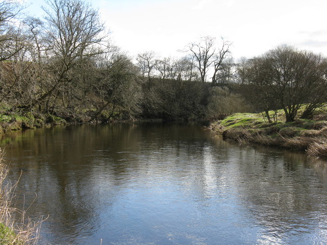
Peathill Wood is a picturesque forest located in Dumfriesshire, Scotland. Spanning over an area of approximately 50 acres, it is known for its natural beauty and diverse wildlife. The wood is situated near the village of Thornhill, providing easy access for visitors.

The wood is predominantly made up of a mix of broadleaf and coniferous trees. Towering oak, beech, and ash trees can be found alongside spruce and pine trees, creating a rich and varied woodland landscape. The dense canopy of the trees provides a serene and tranquil atmosphere, making it an ideal destination for nature enthusiasts and walkers.

Peathill Wood offers several walking trails that allow visitors to explore its enchanting surroundings. The paths wind through the forest, offering glimpses of wildflowers, ferns, and moss-covered stones along the way. The forest floor is home to a wide variety of plant species, including bluebells, primroses, and wood sorrel, adding vibrant colors to the woodland floor.

The wood is also a haven for wildlife. Visitors may encounter red squirrels, deer, badgers, and a range of bird species during their visit. The peaceful environment of Peathill Wood provides an ideal habitat for these animals to thrive.

Overall, Peathill Wood is a captivating forest that offers a unique opportunity to experience the natural beauty and wildlife of Dumfriesshire. Whether for a leisurely stroll or a chance to connect with nature, this woodland destination is sure to leave visitors with a lasting impression.

If you have any feedback on the listing, please let us know in the comments section below.

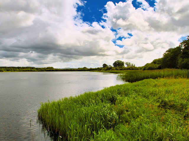
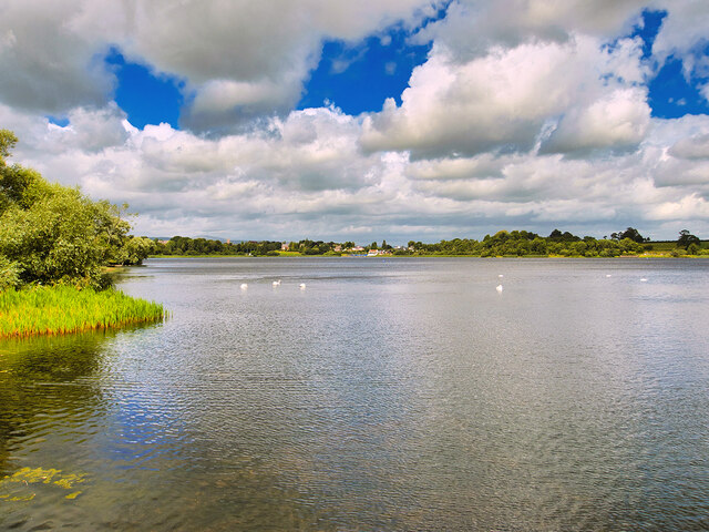
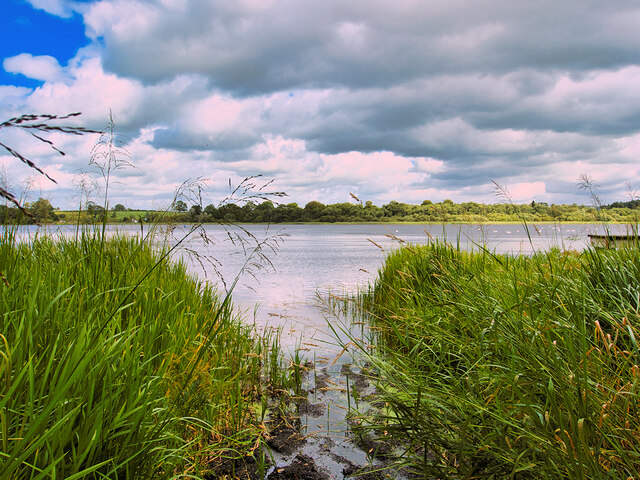
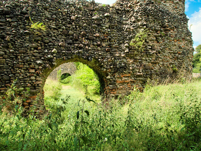
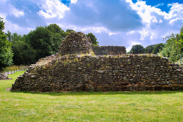
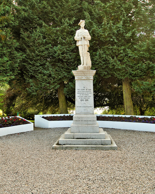
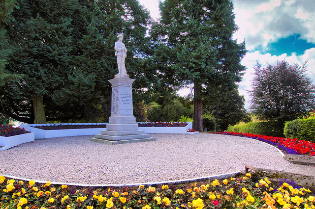
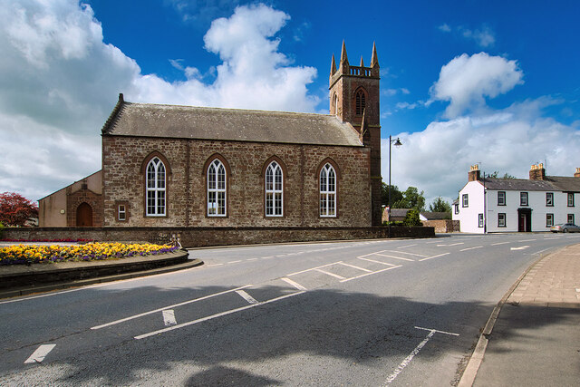
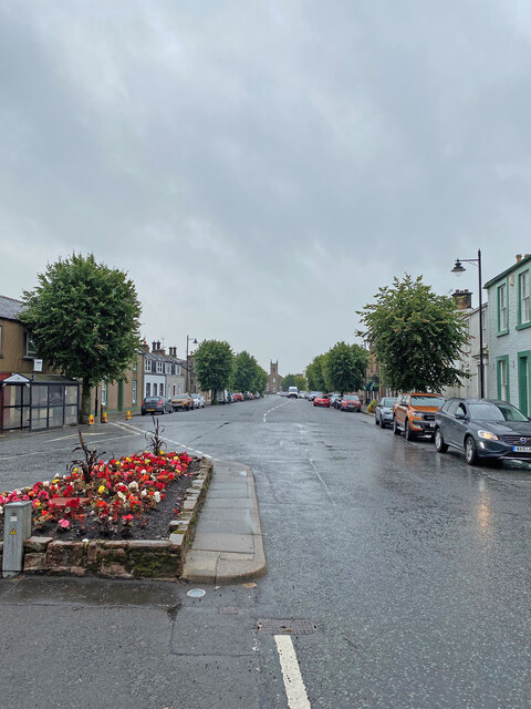
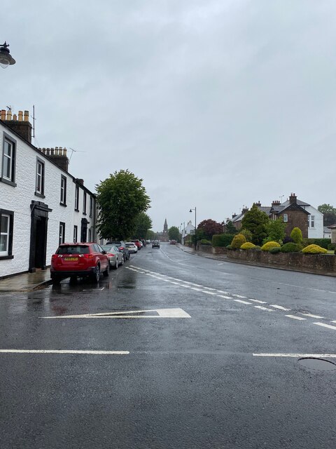
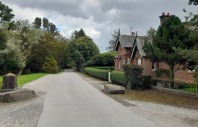
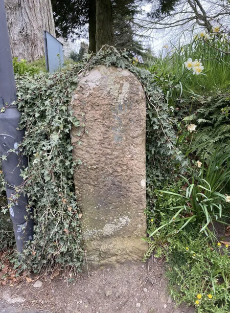
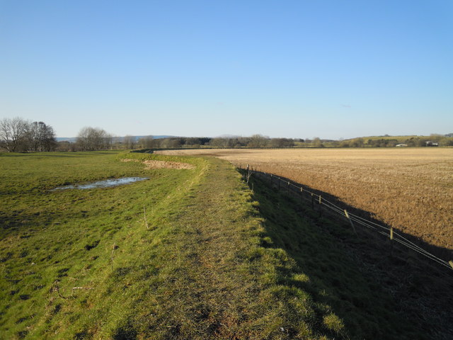
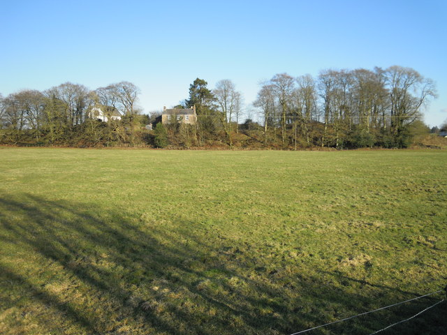
Peathill Wood Images

Images are sourced within 2km of 55.130472/-3.4154719 or Grid Reference NY0982. Thanks to Geograph Open Source API. All images are credited.

Castle Loch Castle Loch is the largest of the three lochs which encircle Lochmaben.
Castle Loch
Castle Loch is the largest of the three lochs which encircle Lochmaben.
Castle Loch, Lochmaben Castle Loch is the largest of the three lochs which encircle the small town of Lochmaben.
Castle Loch, Lochmaben
Castle Loch is the largest of the three lochs which encircle the small town of Lochmaben.
Lochmaben, Castle Loch Castle Loch is the largest of the three lochs which encircle the small town of Lochmaben.
Lochmaben, Castle Loch
Castle Loch is the largest of the three lochs which encircle the small town of Lochmaben.
Lochmaben Castle The ruins of Lochmaben Castle are situated on a promontory projecting into the southern end of Castle Loch. The castle was built by Edward I towards the end of the thirteenth century. It was an important outpost in hostile territory for the English, and withstood several sieges and attacks, before falling to the Scots in 1385.

The castle remained a major site in wars with the English before it was finally abandoned in the 1700s, after which its stones were taken for use in local buildings. Today it’s situated among attractive woodland next to a loch. 

The remains of the castle are of national importance as the best-preserved, and earliest example of the peels built in Scotland by Edward I and is designated as a scheduled monument by Historic Environment Scotland (SM90205 <span class="nowrap"><a title="http://portal.historicenvironment.scot/designation/SM90205" rel="nofollow ugc noopener" href="http://portal.historicenvironment.scot/designation/SM90205">Link</a><img style="margin-left:2px;" alt="External link" title="External link - shift click to open in new window" src="https://s1.geograph.org.uk/img/external.png" width="10" height="10"/></span> )
Lochmaben Castle
The ruins of Lochmaben Castle are situated on a promontory projecting into the southern end of Castle Loch. The castle was built by Edward I towards the end of the thirteenth century. It was an important outpost in hostile territory for the English, and withstood several sieges and attacks, before falling to the Scots in 1385. The castle remained a major site in wars with the English before it was finally abandoned in the 1700s, after which its stones were taken for use in local buildings. Today it’s situated among attractive woodland next to a loch. The remains of the castle are of national importance as the best-preserved, and earliest example of the peels built in Scotland by Edward I and is designated as a scheduled monument by Historic Environment Scotland (SM90205 LinkExternal link )
Ruins of Lochmaben Castle The ruins of Lochmaben Castle are situated on a promontory projecting into the southern end of Castle Loch. The castle was built by Edward I towards the end of the thirteenth century. It was an important outpost in hostile territory for the English, and withstood several sieges and attacks, before falling to the Scots in 1385.

The castle remained a major site in wars with the English before it was finally abandoned in the 1700s, after which its stones were taken for use in local buildings. Today it’s situated among attractive woodland next to a loch. 

The remains of the castle are of national importance as the best-preserved, and earliest example of the peels built in Scotland by Edward I and is designated as a scheduled monument by Historic Environment Scotland (SM90205 <span class="nowrap"><a title="http://portal.historicenvironment.scot/designation/SM90205" rel="nofollow ugc noopener" href="http://portal.historicenvironment.scot/designation/SM90205">Link</a><img style="margin-left:2px;" alt="External link" title="External link - shift click to open in new window" src="https://s1.geograph.org.uk/img/external.png" width="10" height="10"/></span> ).
Ruins of Lochmaben Castle
The ruins of Lochmaben Castle are situated on a promontory projecting into the southern end of Castle Loch. The castle was built by Edward I towards the end of the thirteenth century. It was an important outpost in hostile territory for the English, and withstood several sieges and attacks, before falling to the Scots in 1385. The castle remained a major site in wars with the English before it was finally abandoned in the 1700s, after which its stones were taken for use in local buildings. Today it’s situated among attractive woodland next to a loch. The remains of the castle are of national importance as the best-preserved, and earliest example of the peels built in Scotland by Edward I and is designated as a scheduled monument by Historic Environment Scotland (SM90205 LinkExternal link ).
Lochmaben War Memorial Lochmaben’s War Memorial is a statue of a soldier of the King’s Own Scottish Borderers regiment with head bowed and inverted rifle and wearing Tam o'Shanter and puttees. The inscriptions read, “To the glory of God and in ever grateful remembrance of the men of this parish who gave their lives in the Great War 1914-1919”, “Their name liveth for evermore” and “Lo. These are they from suff’rings great.

The memorial stands on a three-stepped square base and plinth set in a memorial garden with raised flower beds at the south end of Main Street at the junction of Lockerbie Road.
Lochmaben War Memorial
Lochmaben’s War Memorial is a statue of a soldier of the King’s Own Scottish Borderers regiment with head bowed and inverted rifle and wearing Tam o'Shanter and puttees. The inscriptions read, “To the glory of God and in ever grateful remembrance of the men of this parish who gave their lives in the Great War 1914-1919”, “Their name liveth for evermore” and “Lo. These are they from suff’rings great. The memorial stands on a three-stepped square base and plinth set in a memorial garden with raised flower beds at the south end of Main Street at the junction of Lockerbie Road.
War Memorial and Garden, Lochmaben Lochmaben’s War Memorial is a statue of a soldier of the King’s Own Scottish Borderers regiment with head bowed and inverted rifle and wearing Tam o'Shanter and puttees. The inscriptions read, “To the glory of God and in ever grateful remembrance of the men of this parish who gave their lives in the Great War 1914-1919”, “Their name liveth for evermore” and “Lo. These are they from suff’rings great.

The memorial stands on a three-stepped square base and plinth set in a memorial garden with raised flower beds at the south end of Main Street at the junction of Lockerbie Road.
War Memorial and Garden, Lochmaben
Lochmaben’s War Memorial is a statue of a soldier of the King’s Own Scottish Borderers regiment with head bowed and inverted rifle and wearing Tam o'Shanter and puttees. The inscriptions read, “To the glory of God and in ever grateful remembrance of the men of this parish who gave their lives in the Great War 1914-1919”, “Their name liveth for evermore” and “Lo. These are they from suff’rings great. The memorial stands on a three-stepped square base and plinth set in a memorial garden with raised flower beds at the south end of Main Street at the junction of Lockerbie Road.
Lochmaben Church Rectangular-plan 4-bay Gothic church at the south end of High Street, built 1819-20

Category A listed building (LB37539 <span class="nowrap"><a title="http://portal.historicenvironment.scot/designation/LB37539" rel="nofollow ugc noopener" href="http://portal.historicenvironment.scot/designation/LB37539">Link</a><img style="margin-left:2px;" alt="External link" title="External link - shift click to open in new window" src="https://s1.geograph.org.uk/img/external.png" width="10" height="10"/></span> Historic Environment Scotland).
Lochmaben Church
Rectangular-plan 4-bay Gothic church at the south end of High Street, built 1819-20 Category A listed building (LB37539 LinkExternal link Historic Environment Scotland).
Lochmaben
Lochmaben
Lochmaben, Town Hall
OS Cut Mark - Lochmaben, Town Hall <span class="nowrap"><a title="https://www.bench-marks.org.uk/bm70198" rel="nofollow ugc noopener" href="https://www.bench-marks.org.uk/bm70198">Link</a><img style="margin-left:2px;" alt="External link" title="External link - shift click to open in new window" src="https://s1.geograph.org.uk/img/external.png" width="10" height="10"/></span>
OS Cut Mark - Lochmaben, Town Hall
Lochmaben looking towards the Town Hall
OS Cut Mark - Lochmaben, Parish Church <span class="nowrap"><a title="https://www.bench-marks.org.uk/bm69993" rel="nofollow ugc noopener" href="https://www.bench-marks.org.uk/bm69993">Link</a><img style="margin-left:2px;" alt="External link" title="External link - shift click to open in new window" src="https://s1.geograph.org.uk/img/external.png" width="10" height="10"/></span>
OS Cut Mark - Lochmaben, Parish Church
Gatehouse at Halleaths Gatehouse at Halleaths.
Gatehouse at Halleaths
Gatehouse at Halleaths.
Old Milestone by the B7020, Main Road, Lochmaben War Memorial By the B7020, in parish of Lochmaben (Annandale District), Lochmaben, just before junction with A709 by War Memorial.

Inscription once read:- : (Annan / 13) :

Surveyed

Milestone Society National ID: DG_ANLM13
Old Milestone by the B7020, Main Road, Lochmaben War Memorial
By the B7020, in parish of Lochmaben (Annandale District), Lochmaben, just before junction with A709 by War Memorial. Inscription once read:- : (Annan / 13) : Surveyed Milestone Society National ID: DG_ANLM13
River Annan levee at Applegarthtown Flowing from north to south through Annandale, the River Annan is a spate river liable to flooding in its lower reaches. Farmland here is being protected by this earth wall, which is also used as a bridleway.
River Annan levee at Applegarthtown
Flowing from north to south through Annandale, the River Annan is a spate river liable to flooding in its lower reaches. Farmland here is being protected by this earth wall, which is also used as a bridleway.
Applegarthtown from the River Annan A fine example of an ancient settlement built above the river's immediate floodplain.
Applegarthtown from the River Annan
A fine example of an ancient settlement built above the river's immediate floodplain.
Gate on bridleway to Fishbeck New metal gate and sign on pathway on top of a levee which prevents flooding from the River Annan at Applegarthtown.
Gate on bridleway to Fishbeck
New metal gate and sign on pathway on top of a levee which prevents flooding from the River Annan at Applegarthtown.
Show me another place!

Peathill Wood is located at Grid Ref: NY0982 (Lat: 55.130472, Lng: -3.4154719)

Unitary Authority: Dumfries and Galloway

Police Authority: Dumfries and Galloway

What 3 Words

///officer.lyrics.essays. Near Lochmaben, Dumfries & Galloway

Related Wikis

Kinnel Water

The Kinnel Water is a river in the Scottish council area of Dumfries and Galloway, in the shire of Dumfriesshire. == History == The Kinnel Water rises...

Applegarthtown

Applegarthtown, also known as Applegarth or Applegirth, is a village near Lockerbie in Annandale, Dumfries and Galloway, Scotland. Applegarth's Town is...

Lochmaben F.C.

Lochmaben Football Club is a Scottish football based in Lochmaben, Dumfries and Galloway. The club took on its current name after a merger with Crichton...

Battle of Lochmaben Fair

The Battle of Lochmaben Fair was an engagement in Lochmaben, Scotland, on 22 July 1484 between Scottish loyalists to James III of Scotland and the rebels...

Nearby Amenities

Located within 500m of 55.130472,-3.4154719
Power: pole
Lat/Long: 55.1338327/-3.4192227
Power: pole
Lat/Long: 55.1330537/-3.4187925
Power: pole
Lat/Long: 55.1322246/-3.4183443
Power: pole
Lat/Long: 55.1313218/-3.4178446
Power: pole
Lat/Long: 55.1305398/-3.4174041
Power: pole
Lat/Long: 55.1297298/-3.4169713
Power: pole
Lat/Long: 55.1289537/-3.4165386
Power: pole
Lat/Long: 55.1281157/-3.415959
Power: pole
Lat/Long: 55.1273808/-3.415467
Power: pole
Lat/Long: 55.1265192/-3.4148436
Power: pole
Lat/Long: 55.1341817/-3.4117666
Power: pole
Lat/Long: 55.1305973/-3.4203652
Power: pole
Lat/Long: 55.1271407/-3.4192987
Power: pole
Lat/Long: 55.1267077/-3.4191364
Power: pole
Lat/Long: 55.1269537/-3.4183508
The data included in this document is from www.openstreetmap.org. The data is made available under ODbL.

Have you been to Peathill Wood?

Leave your review of Peathill Wood below (or comments, questions and feedback).