Castleblair Park
Settlement in Fife
Scotland
Castleblair Park
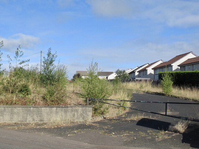
Castleblair Park is a picturesque public park located in the village of Markinch, in the county of Fife, Scotland. Spread over an area of approximately 15 acres, the park offers a tranquil and serene environment for visitors of all ages.
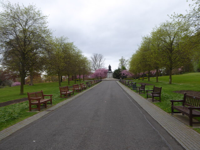
The park is known for its stunning landscape, featuring well-manicured lawns, colorful flower beds, and mature trees. A winding pathway meanders through the park, providing a pleasant walk for visitors to enjoy the natural beauty that surrounds them. Numerous benches are strategically placed along the pathway, offering spots for relaxation and taking in the scenery.
Castleblair Park also boasts a variety of recreational facilities for active visitors. A children's play area with swings, slides, and climbing frames provides a safe and enjoyable space for younger visitors to engage in outdoor play. Additionally, there are well-maintained tennis courts, basketball courts, and a multi-purpose sports pitch available for those seeking more energetic activities.
The park's centerpiece is the historic Castleblair, a grand mansion that dates back to the 19th century. Although the castle itself is not open to the public, its architectural beauty can be admired from the park grounds. The castle's elegant façade adds a touch of charm and character to the overall ambiance of the park.
Overall, Castleblair Park offers a delightful escape from the hustle and bustle of daily life, providing a peaceful retreat for nature lovers, families, and sports enthusiasts alike. With its well-kept grounds, recreational amenities, and architectural heritage, it is truly a gem in the heart of Fife.
If you have any feedback on the listing, please let us know in the comments section below.
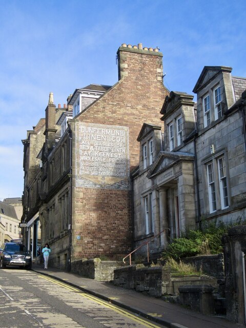
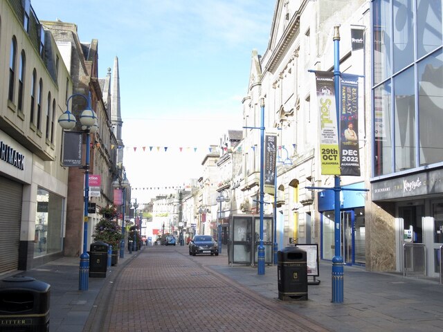
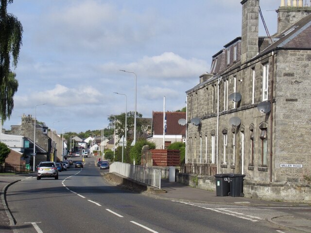
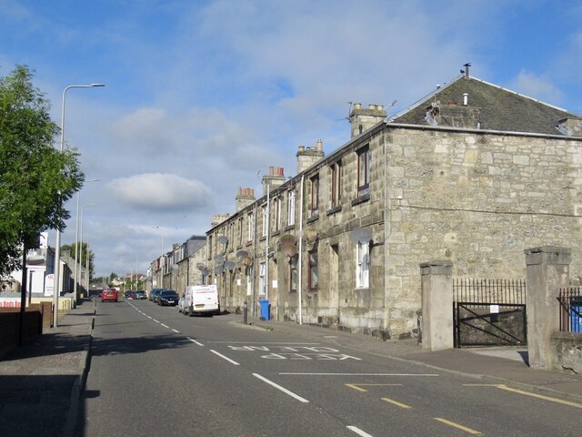
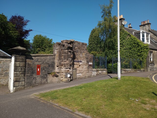
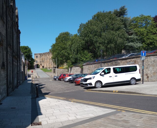
Castleblair Park Images
Images are sourced within 2km of 56.075637/-3.465023 or Grid Reference NT0887. Thanks to Geograph Open Source API. All images are credited.
Castleblair Park is located at Grid Ref: NT0887 (Lat: 56.075637, Lng: -3.465023)
Unitary Authority: Fife
Police Authority: Fife
What 3 Words
///always.fever.moss. Near Dunfermline, Fife
Nearby Locations
Related Wikis

McLean Primary School
McLean Primary School is located in the centre of Dunfermline, Fife. The head teacher is Carol Newton. Pupils from the school progress onto Queen Anne...

Kingsgate, Dunfermline
The Kingsgate Centre is an indoor shopping centre located in the town centre of Dunfermline, Fife, Scotland. Marks and Spencer and the former Debenhams...

Dunfermline City Chambers
Dunfermline City Chambers is a municipal facility at the corner of Bridge Street and Kirkgate in Dunfermline, Fife. The building, which serves as home...
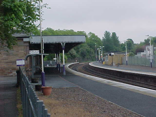
Dunfermline Upper railway station
Dunfermline Upper railway station served the town (now city) of Dunfermline, Fife, Scotland from 1849 to 1968 on the Stirling and Dunfermline Railway....
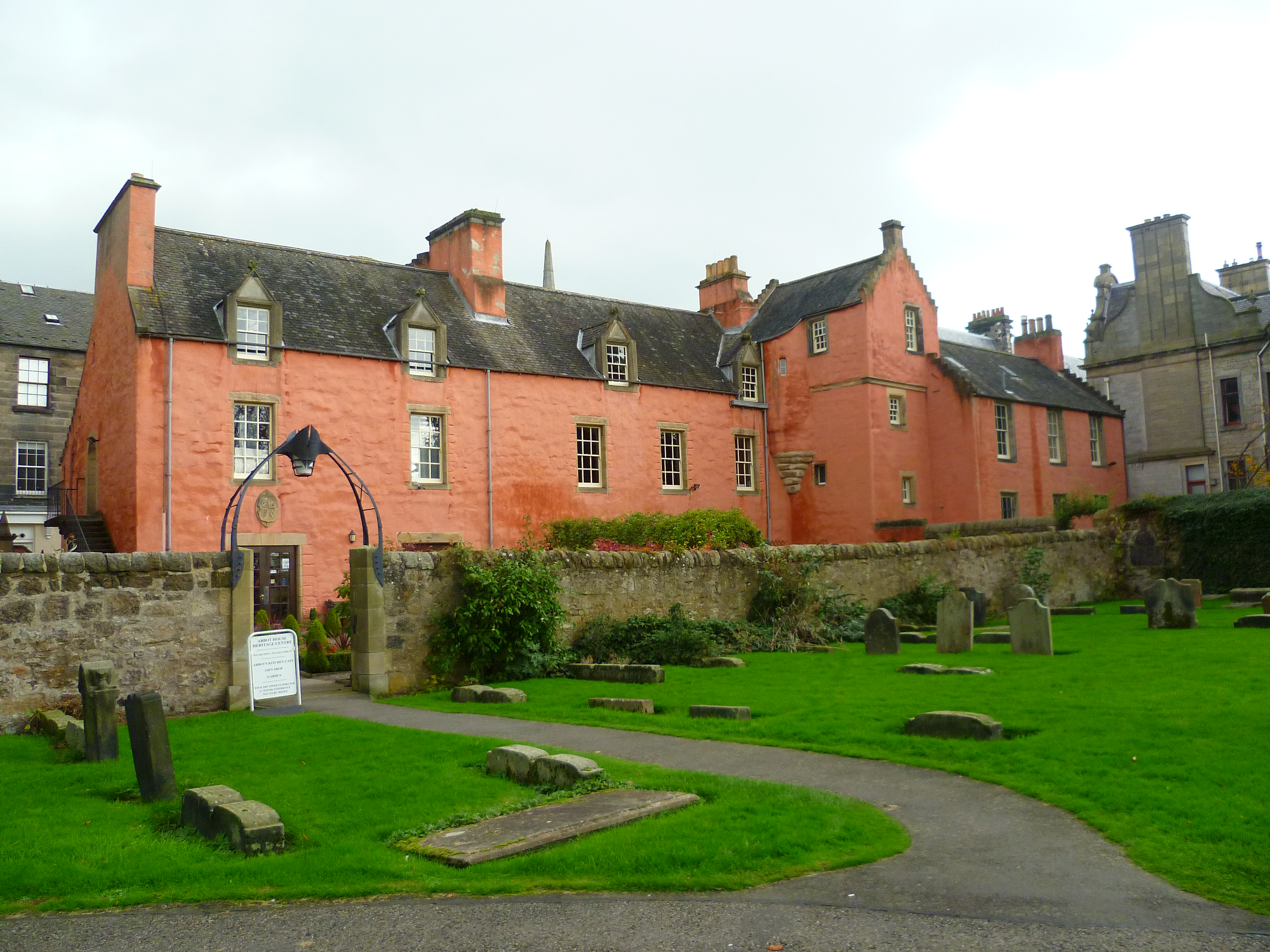
Abbot House, Dunfermline
Abbot House is the oldest secular building in Dunfermline, Scotland. Lying in the shadow of Dunfermline's great abbey church, the core of the building...

Dunfermline Carnegie Library
The Dunfermline Carnegie Library opened in Dunfermline, Scotland, on 29 August 1883 and was the world's first Carnegie Library funded by the Scottish-American...

Queen Anne High School, Dunfermline
Queen Anne High School is a large secondary school in the city of Dunfermline in Fife. It is named for Anne of Denmark, the queen of James VI, whose former...

Dunfermline Abbey
Dunfermline Abbey is a Church of Scotland parish church in Dunfermline, Fife, Scotland. The church occupies the site of the ancient chancel and transepts...
Nearby Amenities
Located within 500m of 56.075637,-3.465023Have you been to Castleblair Park?
Leave your review of Castleblair Park below (or comments, questions and feedback).