Foulbridge Wood

Wood, Forest in Dumfriesshire

Scotland

Foulbridge Wood

Lochmaben looking towards the Town Hall
Lochmaben looking towards the Town Hall Credit: thejackrustles

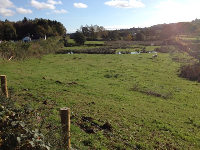
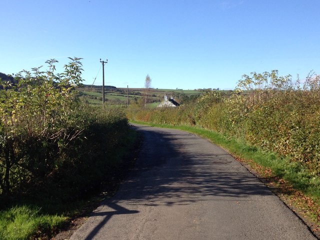
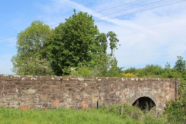
Foulbridge Wood is a picturesque woodland located in Dumfriesshire, Scotland. Spanning over a vast area, this enchanting forest is a haven for nature lovers and outdoor enthusiasts. The wood is situated near the charming village of Foulbridge, adding to its allure and accessibility.

Comprising a diverse range of tree species, Foulbridge Wood boasts a rich and vibrant ecosystem. The woodland is predominantly made up of native trees such as oak, beech, and birch, which provide a lush canopy and shelter to a variety of flora and fauna. During the spring and summer months, the forest floor comes alive with a colorful display of wildflowers, including bluebells and primroses.

The wood is crisscrossed by a network of well-defined footpaths, allowing visitors to explore its natural beauty at their own pace. These paths wind their way through towering trees, across babbling brooks, and past tranquil ponds, providing a truly immersive experience in the heart of nature. Birdwatchers will delight in the numerous species that inhabit the wood, including woodpeckers, thrushes, and owls.

Foulbridge Wood offers a peaceful and serene atmosphere, making it an ideal spot for picnics, family outings, or simply a quiet escape from the bustling city life. The wood also has several designated picnic areas with benches and tables, providing a perfect setting for relaxation and enjoying the surrounding scenery.

Overall, Foulbridge Wood is a hidden gem in Dumfriesshire, offering an abundance of natural beauty and tranquility. Whether it's a leisurely stroll, wildlife observation, or simply appreciating the wonders of nature, this enchanting woodland has something to offer for everyone.

If you have any feedback on the listing, please let us know in the comments section below.

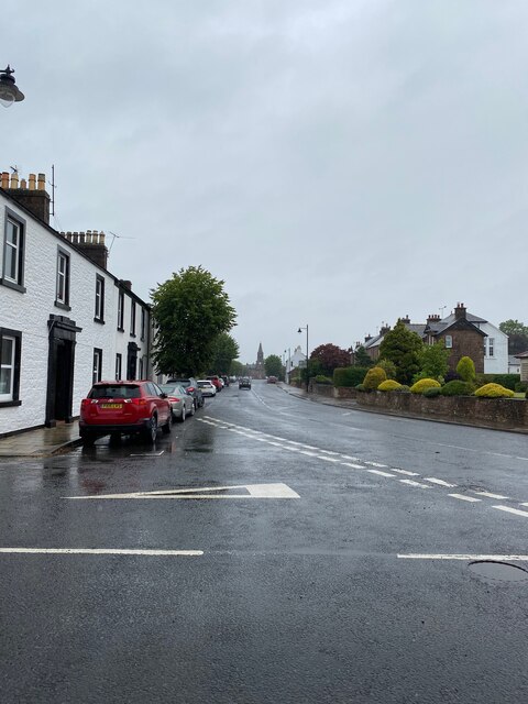
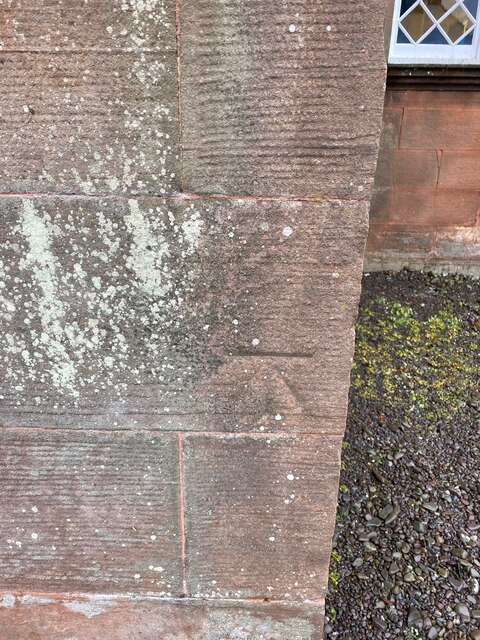
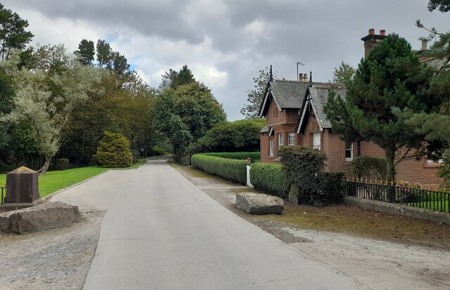
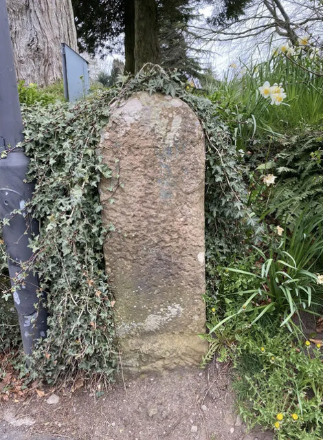
Foulbridge Wood Images

Images are sourced within 2km of 55.110064/-3.4368388 or Grid Reference NY0880. Thanks to Geograph Open Source API. All images are credited.

Lochmaben looking towards the Town Hall
OS Cut Mark - Lochmaben, Parish Church <span class="nowrap"><a title="https://www.bench-marks.org.uk/bm69993" rel="nofollow ugc noopener" href="https://www.bench-marks.org.uk/bm69993">Link</a><img style="margin-left:2px;" alt="External link" title="External link - shift click to open in new window" src="https://s1.geograph.org.uk/img/external.png" width="10" height="10"/></span>
OS Cut Mark - Lochmaben, Parish Church
Gatehouse at Halleaths Gatehouse at Halleaths.
Gatehouse at Halleaths
Gatehouse at Halleaths.
Old Milestone by the B7020, Main Road, Lochmaben War Memorial By the B7020, in parish of Lochmaben (Annandale District), Lochmaben, just before junction with A709 by War Memorial.

Inscription once read:- : (Annan / 13) :

Surveyed

Milestone Society National ID: DG_ANLM13
Old Milestone by the B7020, Main Road, Lochmaben War Memorial
By the B7020, in parish of Lochmaben (Annandale District), Lochmaben, just before junction with A709 by War Memorial. Inscription once read:- : (Annan / 13) : Surveyed Milestone Society National ID: DG_ANLM13
Ploughed field near Greenhill Beyond the field the River Annan winds its way across the square. The distinctive, flat-topped Burnswark Hill is on the horizon.
Ploughed field near Greenhill
Beyond the field the River Annan winds its way across the square. The distinctive, flat-topped Burnswark Hill is on the horizon.
Greenhill Looking towards Greenhill, a small village close to the River Annan.
Greenhill
Looking towards Greenhill, a small village close to the River Annan.
Greenhill Small village near the River Annan. The one road through the village is narrow and winding with high hedges, necessitating caution when driving through.
Greenhill
Small village near the River Annan. The one road through the village is narrow and winding with high hedges, necessitating caution when driving through.
Greenhill Small Annandale village.
Greenhill
Small Annandale village.
Field, Greenhill Greenhill is a small village close to the River Annan.
Field, Greenhill
Greenhill is a small village close to the River Annan.
Farmland at Corsegreen
Minor road at Corsegreen
Crossroads at Millriggs Plantation
Road junction near Heck
Minor road near Greenhillhead
Minor road near Hightae
Road junction near Hightae
Mill Bridge
Mill Bridge
Hightae War Memorial
Show me another place!

Foulbridge Wood is located at Grid Ref: NY0880 (Lat: 55.110064, Lng: -3.4368388)

Unitary Authority: Dumfries and Galloway

Police Authority: Dumfries and Galloway

What 3 Words

///pints.cools.cobble. Near Lochmaben, Dumfries & Galloway

Related Wikis

Heck, Dumfries and Galloway

Heck is a hamlet in the local government area of Dumfries and Galloway, Scotland. Heck is 2 miles (3.2 km) southeast of the town of Lochmaben and is 1...

Old Lochmaben Castle

Lochmaben Castle was a 12th-century castle on the spit of land between Loch Kirk and Loch Castle, in Lochmaben, Scotland. The motte and bailey castle was...

Lochmaben

Lochmaben (Gaelic: Loch Mhabain) is a small town and civil parish in Scotland, and site of a castle. It lies 4 miles (6 km) west of Lockerbie, in Dumfries...

Battle of Lochmaben Fair

The Battle of Lochmaben Fair was an engagement in Lochmaben, Scotland, on 22 July 1484 between Scottish loyalists to James III of Scotland and the rebels...

Nearby Amenities

Located within 500m of 55.110064,-3.4368388
Power: pole
Lat/Long: 55.1104457/-3.4441541
Power: pole
Lat/Long: 55.1107065/-3.4426163
Power: pole
Lat/Long: 55.1109216/-3.4413
Power: pole
Lat/Long: 55.1110631/-3.4404344
Power: pole
Lat/Long: 55.1113489/-3.4387446
Power: pole
Lat/Long: 55.1116024/-3.4372119
Power: pole
Lat/Long: 55.1118543/-3.435705
Power: pole
Lat/Long: 55.1116746/-3.4345638
Power: pole
Lat/Long: 55.111493/-3.4334408
Power: pole
Lat/Long: 55.1112826/-3.4321399
Power: pole
Lat/Long: 55.1110823/-3.4308957
Power: pole
Lat/Long: 55.1108745/-3.4295433
Power: pole
Lat/Long: 55.1123007/-3.4329152
Power: pole
Lat/Long: 55.1131347/-3.4324026
Power: pole
Lat/Long: 55.1136724/-3.4369827
Power: pole
Lat/Long: 55.1133792/-3.4365164
Power: pole
Lat/Long: 55.1130566/-3.4359935
Power: pole
Lat/Long: 55.1127516/-3.4354654
Power: pole
Lat/Long: 55.1124348/-3.434909
Power: pole
Lat/Long: 55.112121/-3.4344067
Power: pole
Lat/Long: 55.1118131/-3.4339018
Power: pole
Lat/Long: 55.1111353/-3.4335875
Power: pole
Lat/Long: 55.1107463/-3.4337163
Power: pole
Lat/Long: 55.1103367/-3.4339636
Power: pole
Lat/Long: 55.1116215/-3.4411969
Power: pole
Lat/Long: 55.11251/-3.4410887
Power: pole
Lat/Long: 55.1133512/-3.4409754
The data included in this document is from www.openstreetmap.org. The data is made available under ODbL.

Have you been to Foulbridge Wood?

Leave your review of Foulbridge Wood below (or comments, questions and feedback).