Craigielands Wood

Wood, Forest in Dumfriesshire

Scotland

Craigielands Wood

Grassland, Buck Rigg
Grassland, Buck Rigg Credit: JThomas

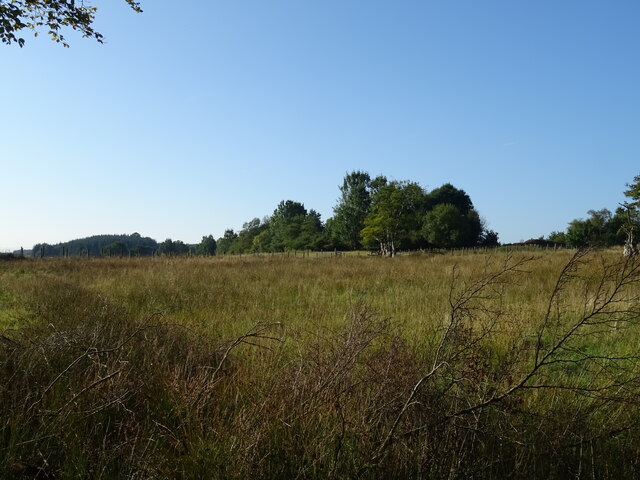
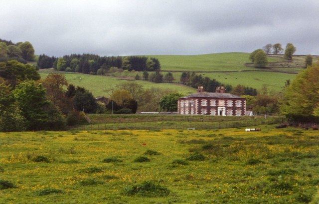
Craigielands Wood, located in Dumfriesshire, is a captivating forest that spans across a vast area of picturesque landscape. As one of the most renowned woodlands in the region, it offers a serene and tranquil environment for visitors to immerse themselves in nature's beauty.

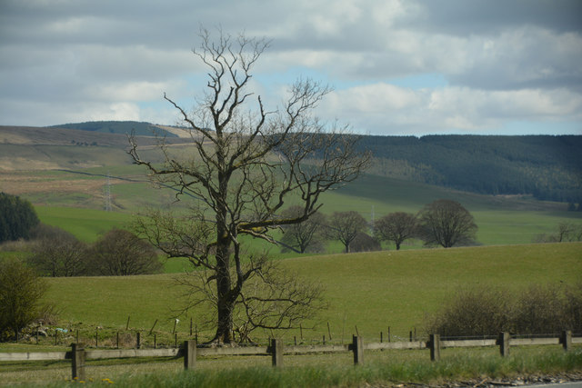
Covering an area of approximately 500 acres, Craigielands Wood boasts a diverse range of flora and fauna. The forest is predominantly composed of native broadleaf species such as oak, birch, and ash, interspersed with conifers like pine and spruce. This combination creates a rich and varied ecosystem that supports a wide array of wildlife.

Walking through the forest, visitors can enjoy the lush greenery and marvel at the vibrant colors that change with the seasons. The woodland floor is carpeted with a myriad of wildflowers, including bluebells, primroses, and wood anemones, which add a touch of vibrancy to the surroundings.

For nature enthusiasts, Craigielands Wood provides ample opportunities for birdwatching and wildlife spotting. Common sightings include red squirrels, roe deer, and a variety of woodland birds such as woodpeckers, tits, and finches.

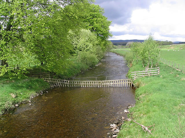
The forest is also popular among outdoor enthusiasts, offering several well-maintained trails for walkers and cyclists to explore. These paths wind through the forest, providing breathtaking views of the surrounding countryside and glimpses of the nearby hills.

Overall, Craigielands Wood is a captivating destination that offers a harmonious blend of natural beauty and recreational activities. Whether it's a leisurely stroll, wildlife observation, or simply seeking solace amidst nature, this woodland provides a serene escape from the bustle of everyday life.

If you have any feedback on the listing, please let us know in the comments section below.

Craigielands Wood Images

Images are sourced within 2km of 55.295752/-3.4564109 or Grid Reference NT0701. Thanks to Geograph Open Source API. All images are credited.

Grassland, Buck Rigg
Dumfries And Galloway : Countryside Scenery Looking out across the grassy countryside.
Dumfries And Galloway : Countryside Scenery
Looking out across the grassy countryside.
Gas distribution station near Beattock Gas distribution station near Beattock.
Gas distribution station near Beattock
Gas distribution station near Beattock.
Old milestone On the A701, this is one of several similar milestones still to be seen between Dumfries and the old Peebleshire border 7 miles north of Moffat.  The plate made at the Affleck foundry in Maxwelltown may have been removed in 1940 or have been stolen.  The legend was Edinburgh 55 Dumfries 17.
Old milestone
On the A701, this is one of several similar milestones still to be seen between Dumfries and the old Peebleshire border 7 miles north of Moffat. The plate made at the Affleck foundry in Maxwelltown may have been removed in 1940 or have been stolen. The legend was Edinburgh 55 Dumfries 17.
The Kinnel Water, Cauldholm A tributary of the River Annan seen from the road bridge near the farm. Compare with Walter Baxter's photograph <a href="https://www.geograph.org.uk/photo/435136">NY0699 : The Kinnel Water</a> taken here in 2007.
The Kinnel Water, Cauldholm
A tributary of the River Annan seen from the road bridge near the farm. Compare with Walter Baxter's photograph NY0699 : The Kinnel Water taken here in 2007.
Murthat Plantation Smallholding by the B7076, adjacent to the Upper Murthat Moor plantation.
Murthat Plantation
Smallholding by the B7076, adjacent to the Upper Murthat Moor plantation.
The Kinnel Water Viewed from a bridge near Cauldholm Farm.
The Kinnel Water
Viewed from a bridge near Cauldholm Farm.
Marchbank Farm
Marchbank Farm
Hello Horse relaxing in a field at Biggarts farm
Hello Horse
relaxing in a field at Biggarts farm
A701 south of Beattock
Buckrig House south of Beattock.
Buckrig
House south of Beattock.
Disused pheasant release pen These structures are used to house young pheasants being reared for shooting - they are often abandoned after a few years use.
Disused pheasant release pen
These structures are used to house young pheasants being reared for shooting - they are often abandoned after a few years use.
Cauldholm Farm buildings and grazing sheep
Minor road near Buckrig In Dumfries and Galloway.
Minor road near Buckrig
In Dumfries and Galloway.
A701 at crossroads near Tathhill Left turn for Tathhill. Looking north
A701 at crossroads near Tathhill
Left turn for Tathhill. Looking north
Minor road near Marchbank Farm
Minor road near Cauldholm
Small stream near Cauldholm
Show me another place!

Craigielands Wood is located at Grid Ref: NT0701 (Lat: 55.295752, Lng: -3.4564109)

Unitary Authority: Dumfries and Galloway

Police Authority: Dumfries and Galloway

What 3 Words

///perfumed.engrossed.waddle. Near Beattock, Dumfries & Galloway

Related Wikis

Kirkpatrick-Juxta

Kirkpatrick-Juxta is a parish in Dumfries and Galloway on the A701, between Biggar, Moffat and Lockerbie. The parish straddles the main road A74 (M). It...

Beattock railway station

Beattock railway station was a station which served the village of Beattock, in the parish of Kirkpatrick-Juxta in the Scottish county of Dumfries and...

Beattock

Beattock is a village in Dumfries and Galloway, Scotland, approximately 1⁄2 mile (800 metres) southwest of Moffat and 19 miles (31 kilometres) north of...

Auchencastle railway station

Auchencastle railway station was a private station which served Auchencastle, near Beattock, in the Scottish county of Dumfries and Galloway. It was used...

Nearby Amenities

Located within 500m of 55.295752,-3.4564109
Bus Stop
Kellobank
Bench: no
Bin: no
Lit: no
Naptan AtcoCode: 680000626111
Naptan Bearing: N
Naptan BusStopType: CUS
Naptan CommonName: Kellobank
Naptan Indicator: opp Outdoor Centre
Naptan Landmark: Kellobank
Naptan NaptanCode: 34232926
Naptan Notes: none
Naptan Street: Beattock Road
Naptan Verified: no
Shelter: no
Source: naptan_import
Tactile Paving: no
Lat/Long: 55.2946228/-3.4497142
Bus Stop
Kellobank
Bench: no
Bin: no
Lit: no
Naptan AtcoCode: 680000626222
Naptan Bearing: S
Naptan BusStopType: CUS
Naptan CommonName: Kellobank
Naptan Indicator: Outdoor Centre
Naptan Landmark: kellobank
Naptan NaptanCode: 34232927
Naptan Notes: none
Naptan Street: Beattock Road
Naptan Verified: no
Shelter: no
Source: naptan_import
Tactile Paving: no
Lat/Long: 55.2946247/-3.4495568
Power: pole
Lat/Long: 55.294517/-3.4489988
Power: pole
Lat/Long: 55.2948543/-3.4495887
Power: pole
Lat/Long: 55.2952884/-3.4496763
Power: pole
Lat/Long: 55.2962637/-3.4498901
Power: pole
Lat/Long: 55.2931266/-3.4504852
Power: pole
Lat/Long: 55.2932072/-3.4513584
Power: pole
Lat/Long: 55.2938716/-3.4519792
Power: pole
Lat/Long: 55.294624/-3.4526284
Power: pole
Lat/Long: 55.2952444/-3.4532131
Power: pole
Lat/Long: 55.2965526/-3.45438
Power: pole
Lat/Long: 55.2973533/-3.4550086
Power: pole
Lat/Long: 55.2983784/-3.45565
Power: pole
Lat/Long: 55.2988638/-3.4561188
Power: pole
Lat/Long: 55.2970102/-3.463012
Power: pole
Lat/Long: 55.297173/-3.461737
Power: pole
Lat/Long: 55.2973812/-3.4601218
Power: pole
Lat/Long: 55.2974971/-3.459246
The data included in this document is from www.openstreetmap.org. The data is made available under ODbL.

Have you been to Craigielands Wood?

Leave your review of Craigielands Wood below (or comments, questions and feedback).