Bonnyton Strip

Wood, Forest in Fife

Scotland

Bonnyton Strip

Scottish Water tanks at Glassiebarns
Scottish Water tanks at Glassiebarns Credit: M J Richardson

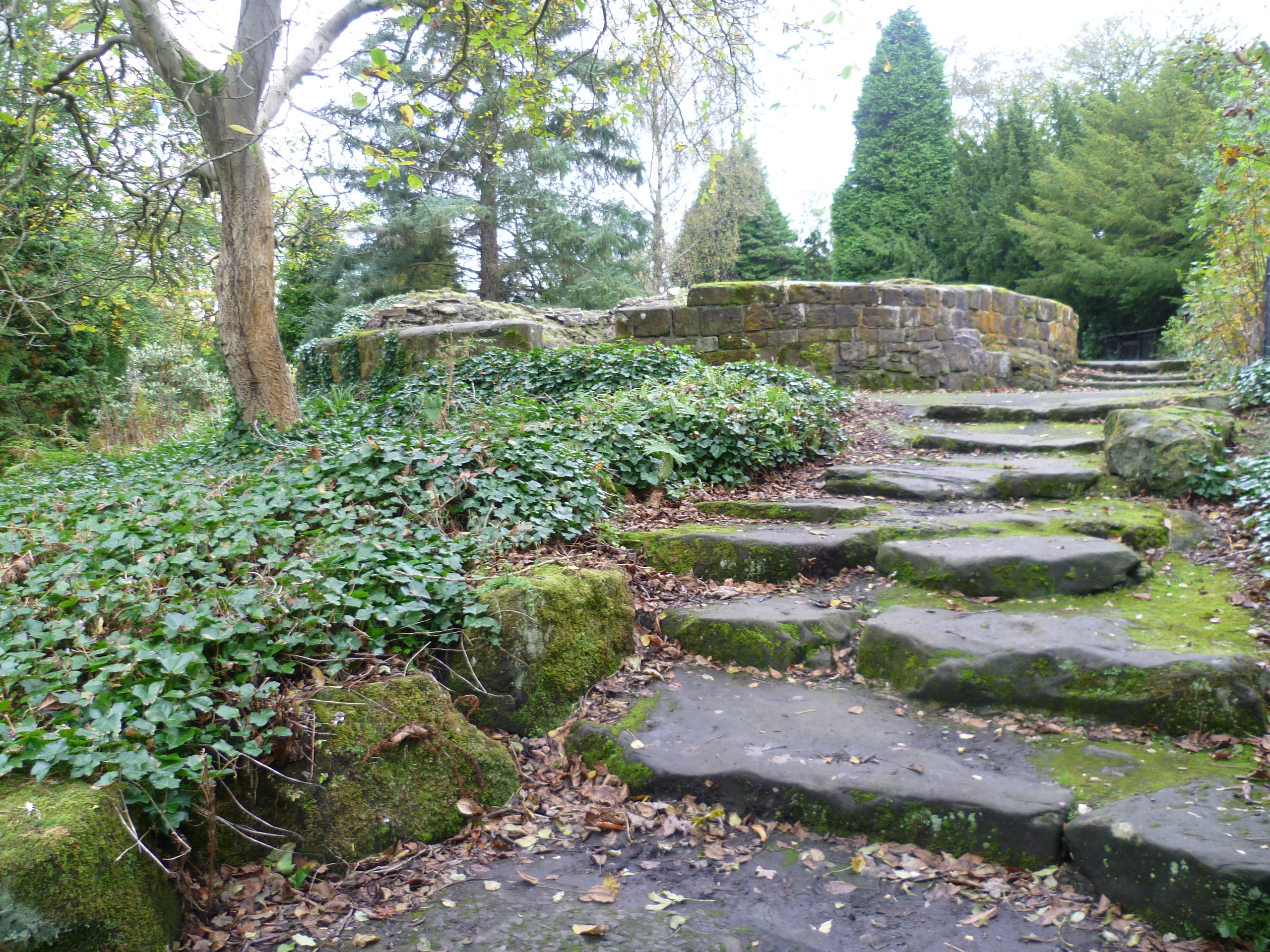
Bonnyton Strip is a picturesque woodland area located in Fife, Scotland. Situated in the heart of the county, it covers a significant portion of land, making it an ideal destination for nature lovers and outdoor enthusiasts. The strip is characterized by its dense forest, which is primarily composed of native tree species such as oak, birch, and beech, creating a vibrant and diverse ecosystem.

The woodland is well-known for its tranquil and peaceful atmosphere, offering visitors a perfect escape from the hustle and bustle of urban life. The dense canopy provides ample shade and shelter, making it an ideal spot for picnics, leisurely walks, and family outings. The forest floor is rich with a variety of wildflowers, ferns, and mosses, adding to the area's natural beauty.

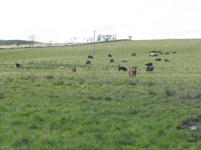
Bonnyton Strip is also home to a diverse range of wildlife. Visitors may encounter various bird species, including woodpeckers, thrushes, and owls. The woodland is also frequented by small mammals such as squirrels, badgers, and foxes. Additionally, the area is home to numerous insects and amphibians, contributing to its ecological significance.

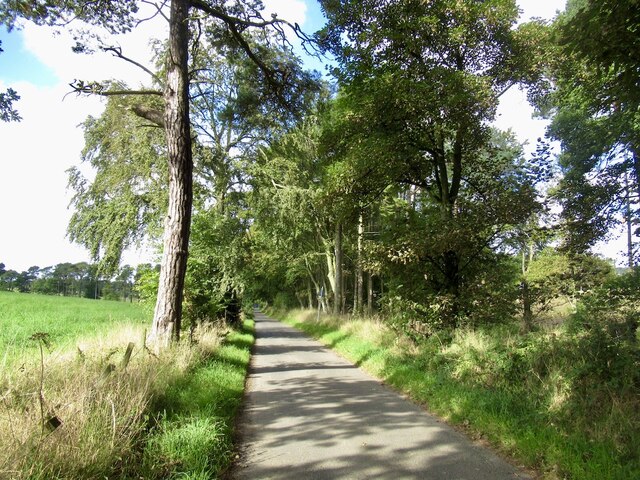
The strip is well-equipped with well-maintained walking trails, ensuring easy access for visitors of all ages and abilities. Interpretive signage throughout the area provides information on the local flora and fauna, enhancing the educational experience for those interested in learning more about Scotland's natural heritage.

In summary, Bonnyton Strip in Fife offers a serene and enchanting woodland experience, boasting a diverse range of plant and animal life. Whether for leisurely walks, picnics, or nature observation, this woodland area is a true gem for nature enthusiasts and a must-visit destination in Fife.

If you have any feedback on the listing, please let us know in the comments section below.

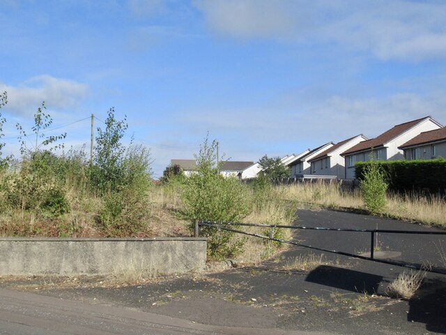
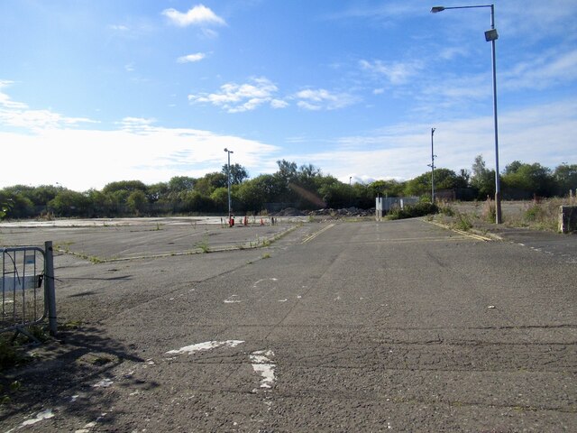
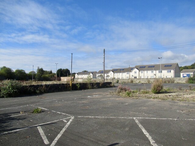
Bonnyton Strip Images

Images are sourced within 2km of 56.091778/-3.5063148 or Grid Reference NT0689. Thanks to Geograph Open Source API. All images are credited.
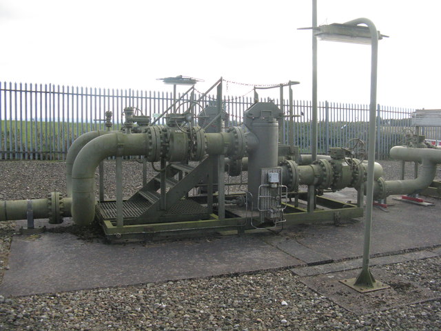
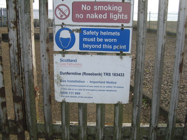
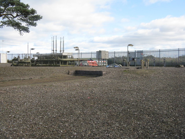
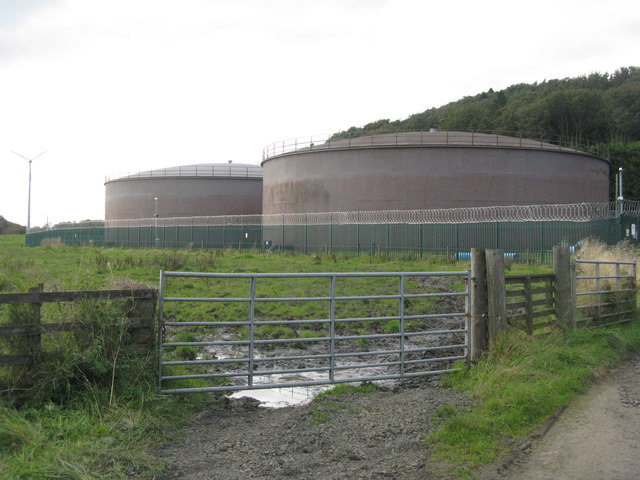
Scottish Water tanks at Glassiebarns
The Tankhouse, Craigluscar A residential conversion of what was presumably a waterworks building associated with the adjacent storage tanks.
The Tankhouse, Craigluscar
A residential conversion of what was presumably a waterworks building associated with the adjacent storage tanks.
Craigluscar Hill Woodland below the edge of a Carboniferous intrusion of igneous rocks.
Craigluscar Hill
Woodland below the edge of a Carboniferous intrusion of igneous rocks.
Farmland near Craigluscar A stubble field with LT electricity poles.
Farmland near Craigluscar
A stubble field with LT electricity poles.
Dunfermline (Rosebank) gas installation
Dunfermline (Rosebank) gas installation Safety notice.
Dunfermline (Rosebank) gas installation
Safety notice.
Dunfermline (Rosebank) gas installation
Farmland near Craigluscar The enclosure contains the Dunfermline [Rosebank] gas installation.
Farmland near Craigluscar
The enclosure contains the Dunfermline [Rosebank] gas installation.
Cattle near Drumtuthill
Cattle pasture at Drumtuthill
Farmland near Lochead And field margin trees.
Farmland near Lochead
And field margin trees.
Lochead Landfill Site A large area [ca 50ha] of old workings.
Lochead Landfill Site
A large area [ca 50ha] of old workings.
Drumtuthill Road
Drumtuthill Road
Towards Loanhead Near Craigluscar.
Towards Loanhead
Near Craigluscar.
Stubble and Craigluscar Hills
Abbey Cars site, Rumblingwell The car showroom has been demolished and the plot is for sale.
Abbey Cars site, Rumblingwell
The car showroom has been demolished and the plot is for sale.
Former Fife Council Depot, Rumblingwell
Show me another place!

Bonnyton Strip is located at Grid Ref: NT0689 (Lat: 56.091778, Lng: -3.5063148)

Unitary Authority: Fife

Police Authority: Fife

What 3 Words

///blazing.roosters.bracing. Near Crossford, Fife

Nearby Locations

Bonnyton Strip

Related Wikis

Nearby Amenities

Located within 500m of 56.091778,-3.5063148
Power: pole
Lat/Long: 56.0944334/-3.5124786
Power: pole
Lat/Long: 56.0946849/-3.507853
Power: pole
Lat/Long: 56.0949742/-3.5022565
Power: pole
Lat/Long: 56.0945877/-3.5096988
Power: pole
Lat/Long: 56.094779/-3.505988
Power: pole
Lat/Long: 56.0948781/-3.5041318
Power: pole
Lat/Long: 56.094995/-3.5007058
Power: pole
Lat/Long: 56.0941813/-3.5016936
Power: pole
Lat/Long: 56.0948187/-3.5024661
Power: pole
Lat/Long: 56.0949145/-3.5019887
Power: pole
Lat/Long: 56.0953648/-3.502045
Power: pole
Lat/Long: 56.0957149/-3.5101533
Power: pole
Lat/Long: 56.0957523/-3.5086539
Power: pole
Lat/Long: 56.0957927/-3.5071519
Power: pole
Lat/Long: 56.0958256/-3.5056713
Power: pole
Lat/Long: 56.095863/-3.5044912
Power: pole
Lat/Long: 56.0958735/-3.5033405
Power: pole
Lat/Long: 56.094259/-3.5014707
Power: pole
Lat/Long: 56.0936857/-3.5010337
Power: pole
Lat/Long: 56.0931387/-3.5006296
Power: pole
Lat/Long: 56.0925699/-3.5001947
Power: pole
Lat/Long: 56.0919886/-3.4997454
Power: pole
Lat/Long: 56.091437/-3.4987115
Power: pole
Lat/Long: 56.0916899/-3.5001927
Power: pole
Lat/Long: 56.0916647/-3.5011158
Power: pole
Lat/Long: 56.0916292/-3.5020102
Power: pole
Lat/Long: 56.0874644/-3.5056208
Power: pole
Lat/Long: 56.0884041/-3.5056351
The data included in this document is from www.openstreetmap.org. The data is made available under ODbL.

Have you been to Bonnyton Strip?

Leave your review of Bonnyton Strip below (or comments, questions and feedback).