Hardiston Moss

Wood, Forest in Kinross-shire

Scotland

Hardiston Moss

Firebreak in Cleish Hills Plantation
Firebreak in Cleish Hills Plantation Credit: Robert Struthers

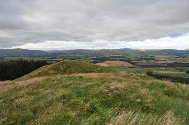
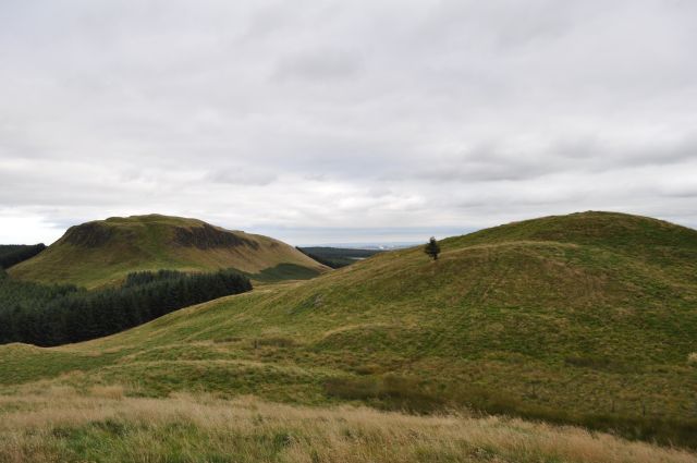
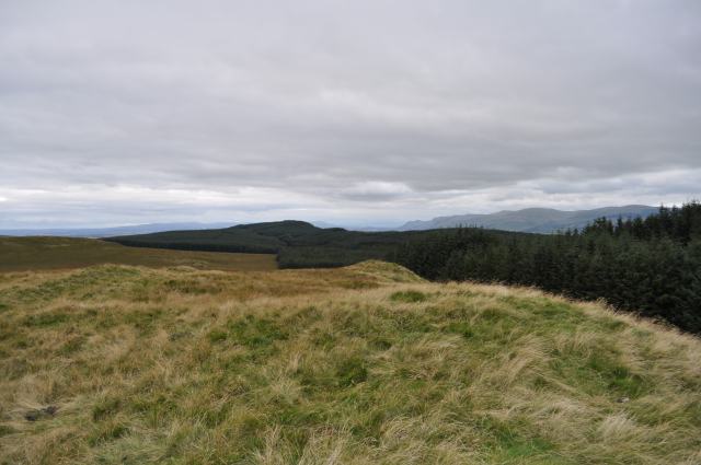
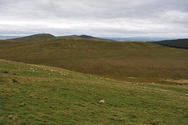
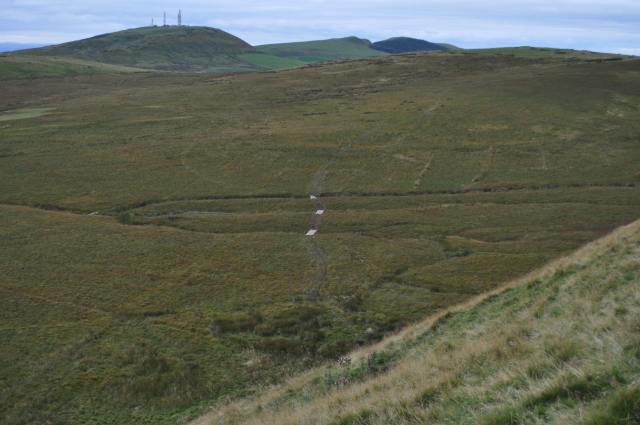
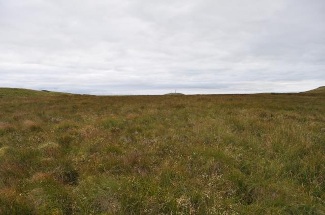
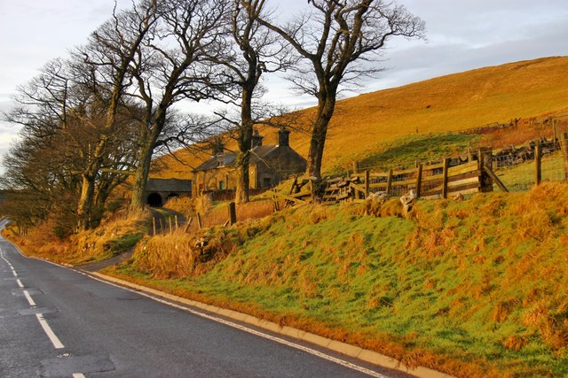
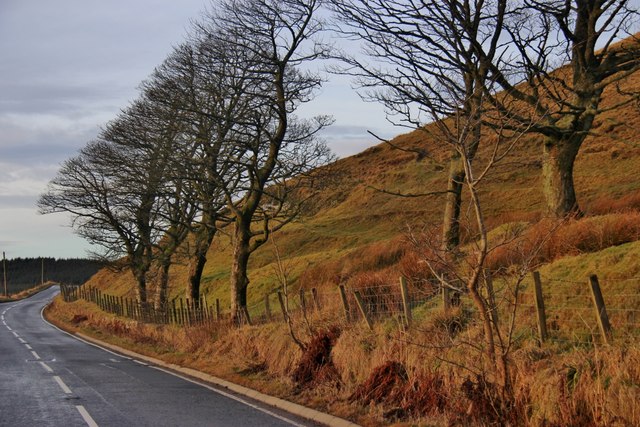
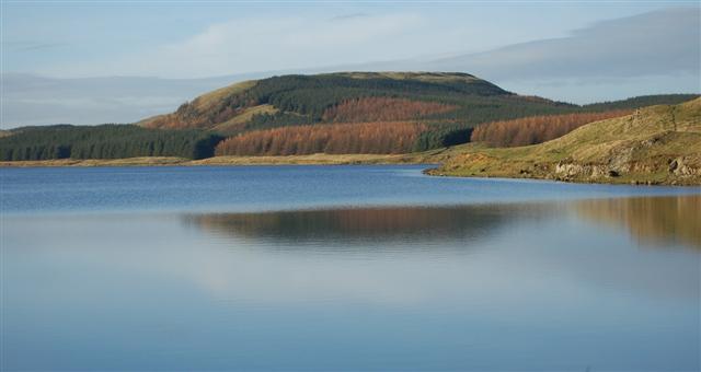
Hardiston Moss, located in Kinross-shire, is a picturesque wood and forest area renowned for its natural beauty and ecological diversity. Spanning approximately 100 acres, this enchanting landscape is nestled amidst the rolling hills and tranquil lochs of the Scottish countryside.

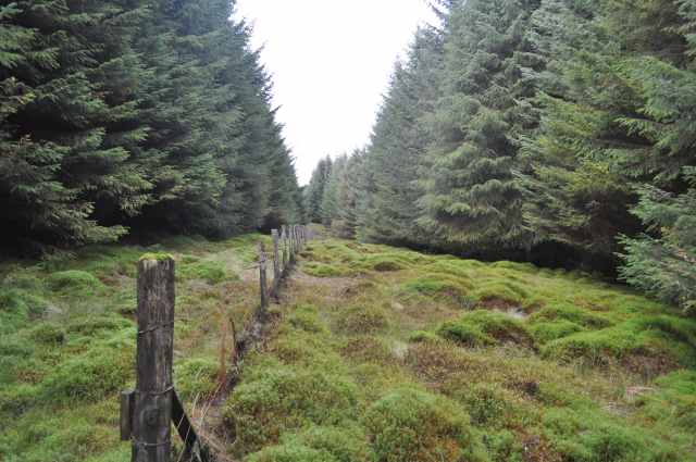
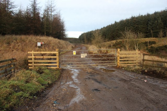
The main feature of Hardiston Moss is its thriving woodland, which comprises a mix of both native and non-native tree species. Towering Scots pines, elegant silver birches, and majestic oak trees dominate the landscape, providing a haven for a wide range of flora and fauna. The forest floor is carpeted with vibrant wildflowers, including bluebells, primroses, and foxgloves, creating a spectacle of colors during the spring and summer months.

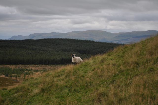
The forest is also home to a variety of wildlife species, making it an ideal destination for nature enthusiasts and wildlife photographers. Visitors may catch a glimpse of red deer roaming freely among the trees, while the elusive red squirrel can often be spotted darting between branches. Birdwatchers will delight in spotting an array of species, including woodpeckers, owls, and various songbirds.

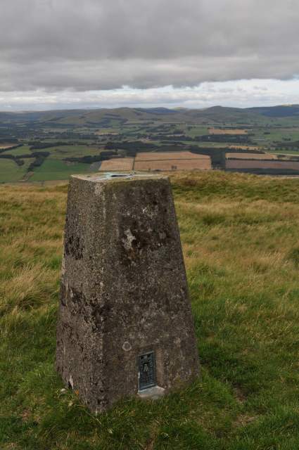
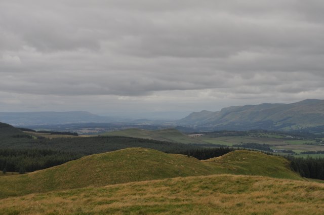
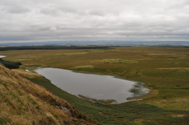
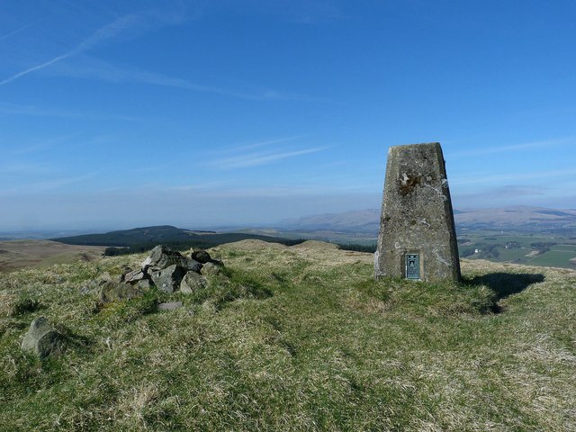
For those seeking outdoor recreational activities, Hardiston Moss offers a network of well-maintained walking trails that wind through the forest. These trails cater to all levels of fitness and provide the opportunity to immerse oneself in the tranquility of the surroundings. The forest also features picnic areas and viewpoints, allowing visitors to take in the breathtaking panoramas of the surrounding countryside.

Hardiston Moss, with its diverse ecosystem and natural beauty, stands as a testament to the importance of preserving and appreciating the wonders of the Scottish woodlands.

If you have any feedback on the listing, please let us know in the comments section below.

Hardiston Moss Images

Images are sourced within 2km of 56.149595/-3.513454 or Grid Reference NT0696. Thanks to Geograph Open Source API. All images are credited.

Firebreak in Cleish Hills Plantation
Dumglow Trig Point Dumglow offers fine views in all directions, here it is to the Ochil Hills in the north.
Dumglow Trig Point
Dumglow offers fine views in all directions, here it is to the Ochil Hills in the north.
View from Dumglow Looking west from Dumglow; in the foreground are the Georgeton Hills, the Ochils on the right and the Gargunnock Hills in the distance on the left. Almost dead centre can be faintly discerned Wallace Monument on its small hill.
View from Dumglow
Looking west from Dumglow; in the foreground are the Georgeton Hills, the Ochils on the right and the Gargunnock Hills in the distance on the left. Almost dead centre can be faintly discerned Wallace Monument on its small hill.
Black Loch A small lochan to the south of Dumglow.
Black Loch
A small lochan to the south of Dumglow.
Georgeton Hills The lesser of the two summits of Georgeton, taken from the primary.
Georgeton Hills
The lesser of the two summits of Georgeton, taken from the primary.
Georgeton Hill and Dumglow
Black Hill Black Hill has a vague flattish summit and is totally bereft of any interesting features.
Black Hill
Black Hill has a vague flattish summit and is totally bereft of any interesting features.
Drystane Dyke Traditional Scottish field boundary, augmented by barbed wire. In the distance is Dumglow hill.
Drystane Dyke
Traditional Scottish field boundary, augmented by barbed wire. In the distance is Dumglow hill.
Are You Looking At Me? ...cause I don't see anyone else here. Suspicious blackface sheep on Black Hill.
Are You Looking At Me?
...cause I don't see anyone else here. Suspicious blackface sheep on Black Hill.
Outh Hill Outh Hill from Park Hill, with the distinctive communication masts of Knock Hill in the background.
Outh Hill
Outh Hill from Park Hill, with the distinctive communication masts of Knock Hill in the background.
Outh Muir from Park Hill Duckboards bridge three tributaries of the Nettly Burn, a distinctive feature on OS maps.
Outh Muir from Park Hill
Duckboards bridge three tributaries of the Nettly Burn, a distinctive feature on OS maps.
Outh Muir meets Tipperton Moss This square is sadly bereft of interesting features.
Outh Muir meets Tipperton Moss
This square is sadly bereft of interesting features.
Dumglow (trig point) The trig point and cairn on the summit of Dumglow.
Dumglow (trig point)
The trig point and cairn on the summit of Dumglow.
Evening light at Outh
Roadside trees below Lethans Muir
Valley of the Black Devon
Forest access in Lethans Glen
Old Milestone by the A823, northwest of Outh, Dunfermline parish H casting by the A823, in parish of Dunfermline (Fife District), Northwest of Outh, on narrow verge near brow, North side of road.

Inscription reads:-
: {arrow->} / DUNFERMLINE / 6 MILES : : {<-arrow} / RUMBLING / BRIDGE / (4)½ MILES :

HES Grade C(S) listed.
Reference: LB45591 <span class="nowrap"><a title="http://portal.historicenvironment.scot/designation/LB45591" rel="nofollow ugc noopener" href="http://portal.historicenvironment.scot/designation/LB45591">Link</a><img style="margin-left:2px;" alt="External link" title="External link - shift click to open in new window" src="https://s1.geograph.org.uk/img/external.png" width="10" height="10"/></span>

Milestone Society National ID: FF_DFRB06
Old Milestone by the A823, northwest of Outh, Dunfermline parish
H casting by the A823, in parish of Dunfermline (Fife District), Northwest of Outh, on narrow verge near brow, North side of road. Inscription reads:- : {arrow->} / DUNFERMLINE / 6 MILES : : {<-arrow} / RUMBLING / BRIDGE / (4)½ MILES : HES Grade C(S) listed. Reference: LB45591 LinkExternal link Milestone Society National ID: FF_DFRB06
Show me another place!

Hardiston Moss is located at Grid Ref: NT0696 (Lat: 56.149595, Lng: -3.513454)

Unitary Authority: Perth and Kinross

Police Authority: Tayside

What 3 Words

///splash.picturing.luring. Near Saline, Fife

Related Wikis

Dumglow

Dumglow (379 m) is the highest peak of the Cleish Hills in Perth and Kinross, Scotland. It is located north of Dunfermline. An ancient fort lies on its...

Black Devon

The Black Devon is a river in Scotland. It rises in the Cleish Hills, specifically the area known as Outh Muir, 1.5 kilometres (0.93 mi) north of Knockhill...

Aldie Castle

Aldie Castle is an historic building east of Crook of Devon, Perth and Kinross, Scotland. It is a Category A listed building. This three storey tower house...

Knockhill

Knockhill Racing Circuit is a motor racing circuit in Fife, Scotland. It opened in September 1974 and is Scotland's national motorsport centre. The circuit...

Related Videos

Dumglow & The Inneans Summits Loop. Part 1. Dumglow. Fife mtb. Perth & Kinross mtb. Mavic Air 2.

Dumglow & The Inneans Summits Loop. DJI Mavic Air 2. Drone mtb video. Drone mtb follow. Part 1. Dumglow. Fife mtb.

Nearby Amenities

Located within 500m of 56.149595,-3.513454
Hardiston Hill
Ele: 298
Natural: peak
Lat/Long: 56.1499825/-3.5187677
The data included in this document is from www.openstreetmap.org. The data is made available under ODbL.

Have you been to Hardiston Moss?

Leave your review of Hardiston Moss below (or comments, questions and feedback).