Greystonerig Wood
Wood, Forest in Dumfriesshire
Scotland
Greystonerig Wood
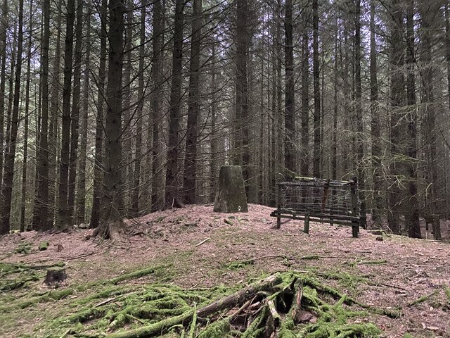
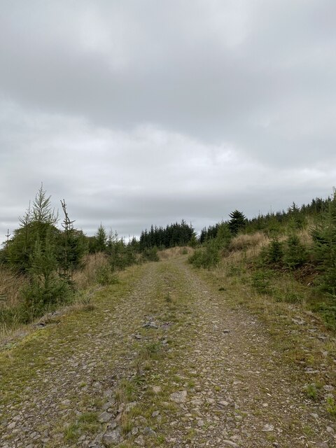
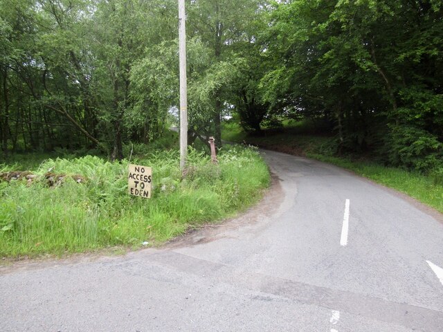
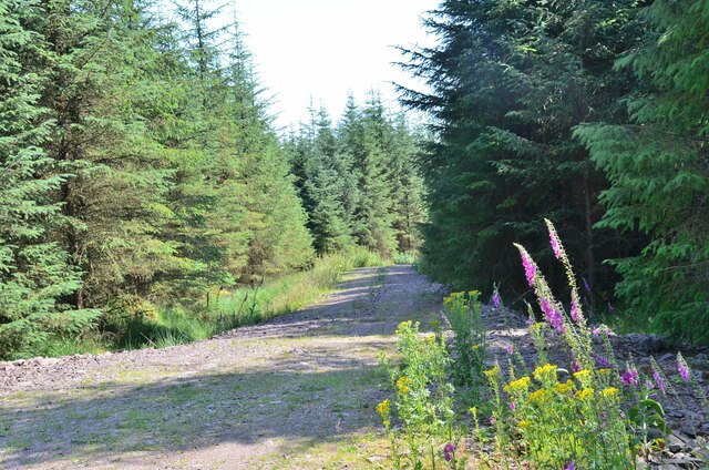
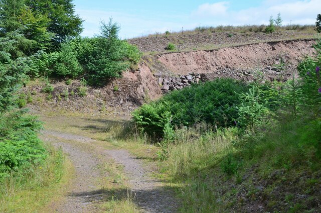
Greystonerig Wood is a beautiful forest located in Dumfriesshire, Scotland. Covering an area of approximately 200 acres, the wood is home to a variety of native tree species including oak, beech, and birch. The forest is a popular destination for nature lovers and outdoor enthusiasts, offering numerous walking trails and opportunities for bird watching and wildlife spotting.
Greystonerig Wood is known for its tranquil atmosphere and stunning natural beauty. The forest is a haven for wildlife, with a diverse range of species including red squirrels, roe deer, and various bird species. Visitors to the wood may also come across rare plants and fungi that thrive in the rich, moist soil of the forest.
The wood is well-maintained with clear paths and signposts, making it easy for visitors to navigate through the dense foliage. There are also picnic areas and benches scattered throughout the forest, providing the perfect spot for a peaceful break or a leisurely lunch.
Overall, Greystonerig Wood is a hidden gem in Dumfriesshire, offering visitors a chance to immerse themselves in the beauty of nature and escape the hustle and bustle of everyday life.
If you have any feedback on the listing, please let us know in the comments section below.
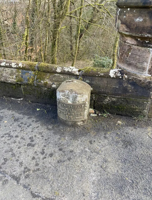
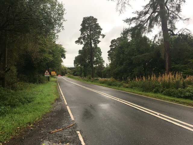
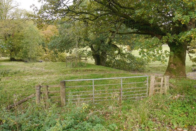
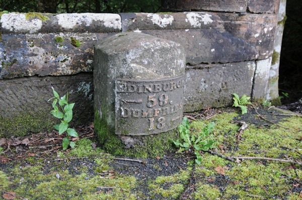
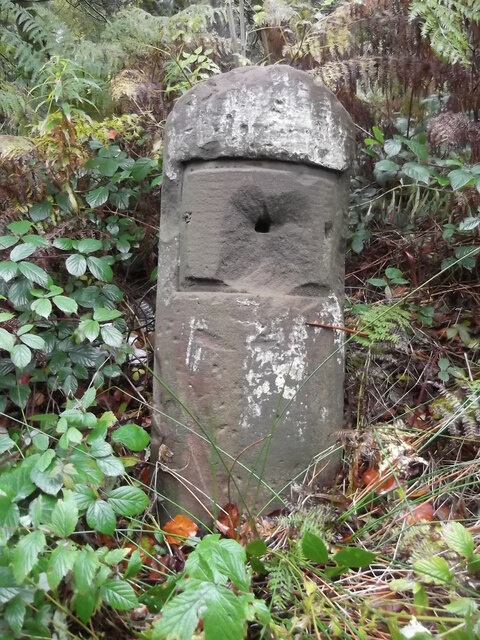
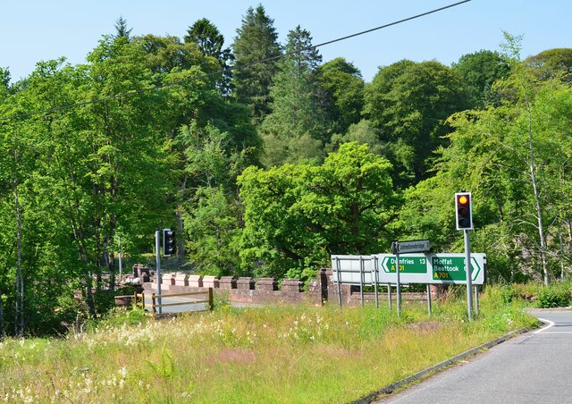
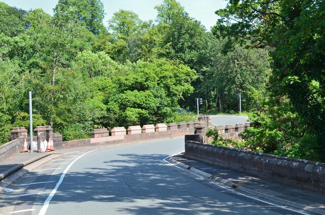
Greystonerig Wood Images
Images are sourced within 2km of 55.228713/-3.4808 or Grid Reference NY0593. Thanks to Geograph Open Source API. All images are credited.


Greystonerig Wood is located at Grid Ref: NY0593 (Lat: 55.228713, Lng: -3.4808)
Unitary Authority: Dumfries and Galloway
Police Authority: Dumfries and Galloway
What 3 Words
///arranged.curvy.motorist. Near Johnstonebridge, Dumfries & Galloway
Nearby Locations
Related Wikis
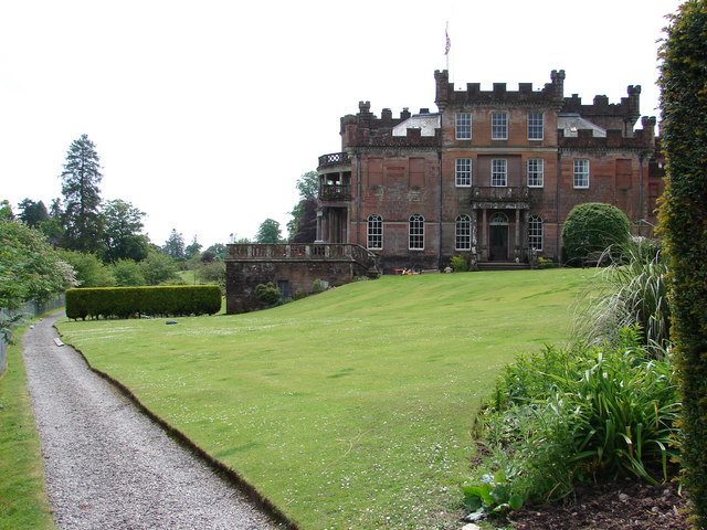
Raehills House
Raehills House is a mansion located near the Scottish town of Johnstonebridge in the council area of Dumfries and Galloway. In 1971, the building was first...

Dumfriesshire, Clydesdale and Tweeddale (UK Parliament constituency)
Dumfriesshire, Clydesdale and Tweeddale is a constituency of the House of Commons, located in the South of Scotland, within the Dumfries and Galloway,...

Wallace's House
Wallace's House is an earthen rampart, located near Lochmaben, Scotland, that is associated with William Wallace. The promontory fort is a scheduled item...

Lochwood Tower
Lochwood Tower, also known as Lochwood Castle, is a ruined 16th-century L-plan tower house situated in Annandale (Valley of the River Annan) about 6 miles...
Nearby Amenities
Located within 500m of 55.228713,-3.4808Have you been to Greystonerig Wood?
Leave your review of Greystonerig Wood below (or comments, questions and feedback).