Hawkhill Plantation

Wood, Forest in Perthshire

Scotland

Hawkhill Plantation

A minor road crosses the Water of May at North Lodge
A minor road crosses the Water of May at North Lodge Credit: Gordon Brown

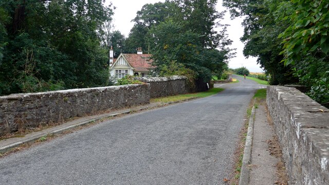
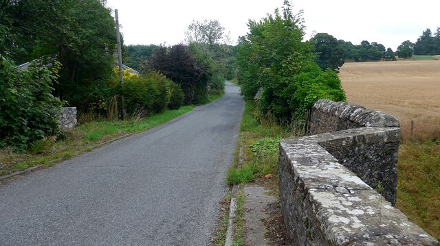
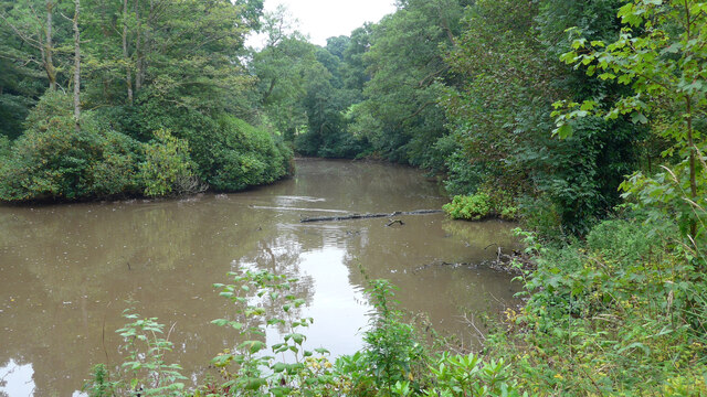
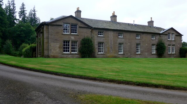
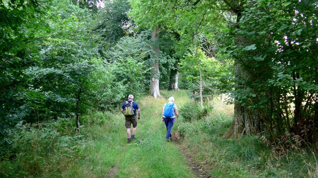
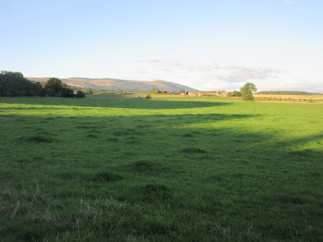
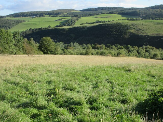
Hawkhill Plantation, located in Perthshire, Scotland, is a scenic and diverse woodland area covering approximately 500 acres. This enchanting forest, often referred to as Hawkhill Wood, is nestled amidst the stunning landscape of the Scottish Highlands, offering visitors a tranquil and immersive experience in nature.

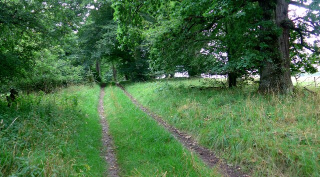
The plantation is predominantly comprised of coniferous trees, such as Scots pine, spruce, and fir, which provide a dense and evergreen canopy. However, unique to Hawkhill Plantation is its impressive variety of broadleaf trees, including oak, birch, and ash, enhancing the biodiversity and visual appeal of the woodland.

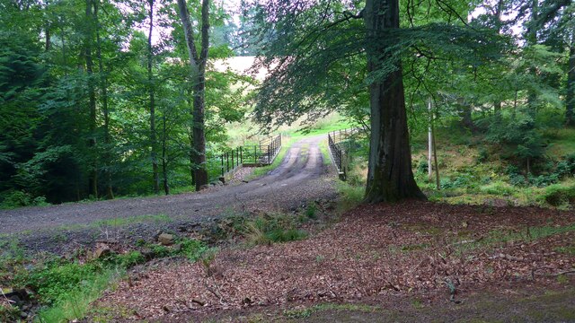
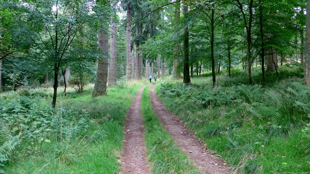
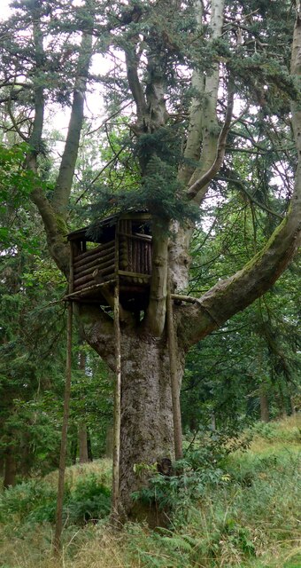
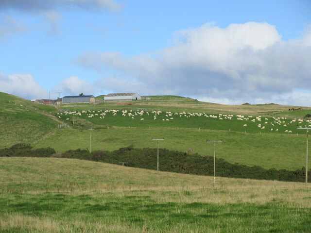
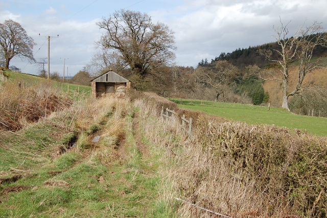
As visitors step into the plantation, they are greeted by a network of well-maintained trails that meander through the forest, allowing for peaceful walks and exploration. These pathways provide access to the plantation's diverse wildlife, including red squirrels, roe deer, and a myriad of bird species, making it a popular destination for wildlife enthusiasts and nature photographers.

Hawkhill Plantation is managed sustainably, with conservation and preservation at its core. The responsible management practices ensure the protection of the woodland's delicate ecosystem, allowing for the flourishing of both flora and fauna. Additionally, the plantation serves as an important site for research and educational purposes, contributing to the understanding and appreciation of Scotland's natural heritage.

With its serene atmosphere, breathtaking scenery, and commitment to conservation, Hawkhill Plantation offers visitors an immersive experience in the heart of Perthshire's natural beauty. Whether one seeks solitude, wildlife encounters, or simply a rejuvenating escape from the bustling world, this woodland oasis is truly a gem of the Scottish Highlands.

If you have any feedback on the listing, please let us know in the comments section below.

Hawkhill Plantation Images

Images are sourced within 2km of 56.313997/-3.5234924 or Grid Reference NO0514. Thanks to Geograph Open Source API. All images are credited.

A minor road crosses the Water of May at North Lodge
Bridge over the Water of May at Green of Invermay
Estate bridge over the Water of May The OS mapping is a little confused here:  this is the downstream (westward) of the two bridges and is the one in use.  The upstream (eastward) bridge is unsafe and fenced off.  All the OS mappings imply the opposite.
Estate bridge over the Water of May
The OS mapping is a little confused here: this is the downstream (westward) of the two bridges and is the one in use. The upstream (eastward) bridge is unsafe and fenced off. All the OS mappings imply the opposite.
Unidentified machine by the Water of May What can this be for?  There is a power take-off drive to the left.  A machine for burying underground pipes?

Later addition - this is a log-splitter!  Thanks to information from the ever-helpful members of Geograph.
Unidentified machine by the Water of May
What can this be for? There is a power take-off drive to the left. A machine for burying underground pipes? Later addition - this is a log-splitter! Thanks to information from the ever-helpful members of Geograph.
Lower Pond on the Invermay Estate
The magnificent mansion at Hill of Invermay
Forest track on the Invermay estate
Impressive treehouse on the Invermay estate There is no obvious means of ascent to this treehouse.  It's not clear whether this is intended for children or for a shooting platform.
Impressive treehouse on the Invermay estate
There is no obvious means of ascent to this treehouse. It's not clear whether this is intended for children or for a shooting platform.
Walkers in the Birks of Invermay
Approaching the ruined Muckersie Chapel on the Invermay estate
Muckersie Chapel This ruin is sited on a bluff overlooking the Water of May.  It was used for worship until about 1638 when it fell into disuse.  It was refurbished in the mid 19th century to provide a mausoleum for the Belsches who had acquired the estate in 1717.
Muckersie Chapel
This ruin is sited on a bluff overlooking the Water of May. It was used for worship until about 1638 when it fell into disuse. It was refurbished in the mid 19th century to provide a mausoleum for the Belsches who had acquired the estate in 1717.
Cattle at Bogtonlea Cattle in a field just east of Bogtonlea.
Cattle at Bogtonlea
Cattle in a field just east of Bogtonlea.
Grass pastureland Grassy pastureland with Bogtonlea in the distance and Craig Rossie on the horizon.
Grass pastureland
Grassy pastureland with Bogtonlea in the distance and Craig Rossie on the horizon.
Road at Binzian Minor road heading northwards at Binzian.
Road at Binzian
Minor road heading northwards at Binzian.
Binzian Mill Looking down to Binzian Mill in the valley of the Water of May from the road to the south-west.
Binzian Mill
Looking down to Binzian Mill in the valley of the Water of May from the road to the south-west.
Grassy hillside near Condie Looking north-east down a grassy hillside towards the wooded valley of the Water of May in the Ochil Hills.
Grassy hillside near Condie
Looking north-east down a grassy hillside towards the wooded valley of the Water of May in the Ochil Hills.
Field of sheep near Montalt Hundreds of sheep in a field adjacent to Brunt Knowe, with Montalt beyond.
Field of sheep near Montalt
Hundreds of sheep in a field adjacent to Brunt Knowe, with Montalt beyond.
By Binzian Mill Grazing land by Binzian Mill.
By Binzian Mill
Grazing land by Binzian Mill.
Show me another place!

Hawkhill Plantation is located at Grid Ref: NO0514 (Lat: 56.313997, Lng: -3.5234924)

Unitary Authority: Perth and Kinross

Police Authority: Tayside

What 3 Words

///remotest.flames.javelin. Near Bridge of Earn, Perth & Kinross

Nearby Locations

Hawkhill Plantation

Related Wikis

Invermay

Invermay ( ) is a diffuse settlement in Perth and Kinross, Scotland. It is situated approximately 2 km southeast of Forteviot on the Water of May, some...

Forteviot

Forteviot (Scottish Gaelic: Fothair Tabhaicht) (Ordnance Survey grid reference NO052175) is a village in Strathearn, Scotland on the south bank of the...

Forteviot Bronze Age tomb

Forteviot Bronze Age tomb is a Bronze Age burial chamber discovered in 2009 at Forteviot near Perth, Scotland. The Bronze Age tomb is one of a number of...

Forteviot railway station

Forteviot railway station served the village of Forteviot, Perth and Kinross, Scotland from 1848 to 1956 on the Scottish Central Railway. == History... ==

Have you been to Hawkhill Plantation?

Leave your review of Hawkhill Plantation below (or comments, questions and feedback).