Ewehill Plantation
Wood, Forest in Lanarkshire
Scotland
Ewehill Plantation

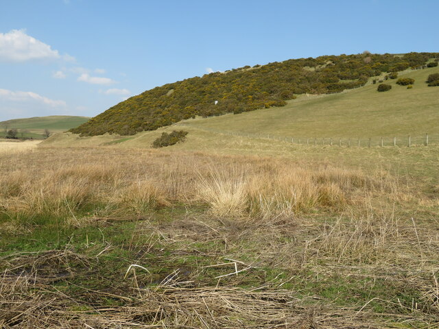
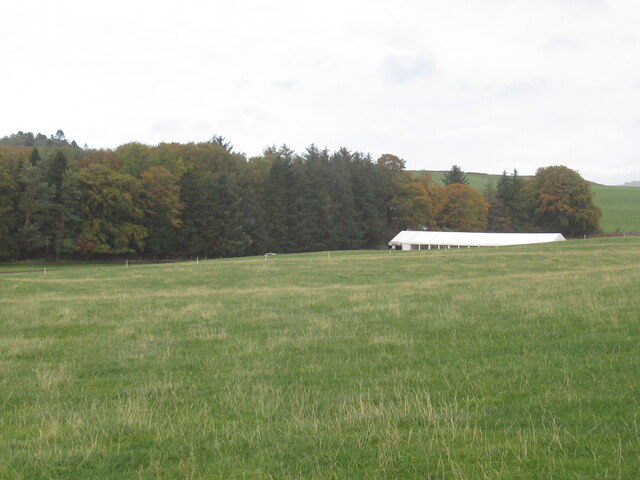
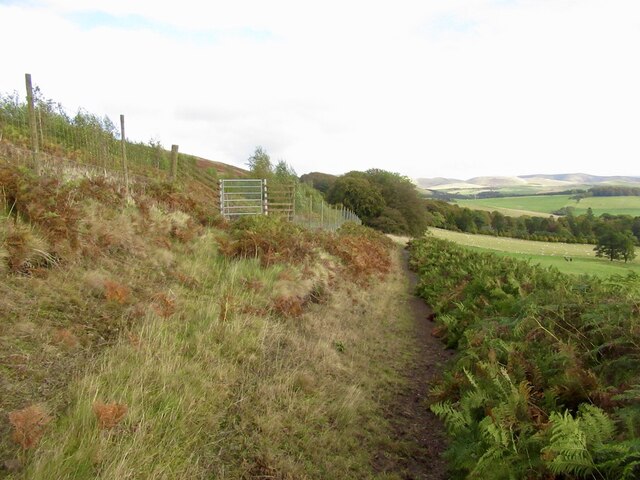
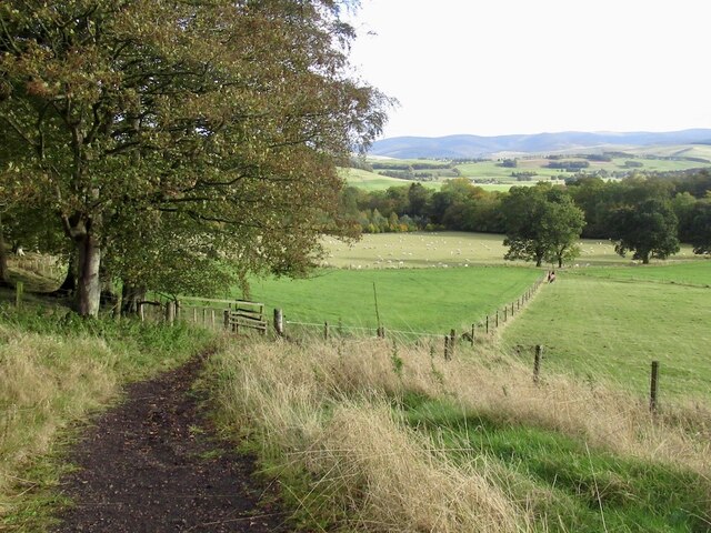
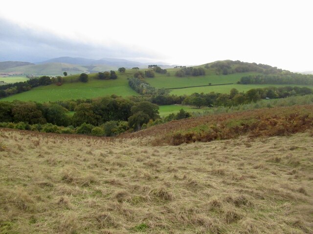
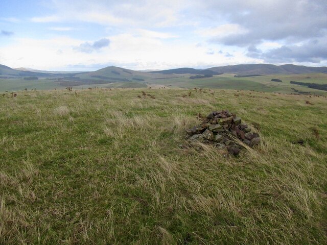
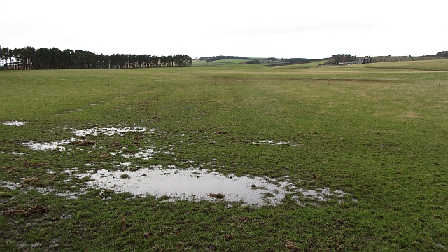
Ewehill Plantation is a dense woodland located in Lanarkshire, Scotland. Spanning over a vast area, the plantation is known for its lush greenery and diverse ecosystem. It is situated in close proximity to the village of Ewehill, surrounded by rolling hills and picturesque landscapes.
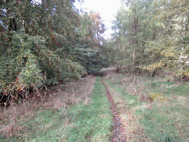
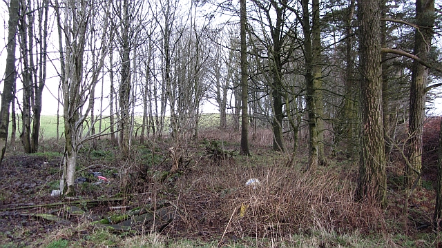
The plantation primarily consists of a variety of trees including oak, birch, beech, and pine. The tall and majestic trees provide a dense canopy that filters sunlight, creating a cool and tranquil environment. The forest floor is covered with a thick layer of moss and ferns, adding to the overall enchanting atmosphere.
Ewehill Plantation is a haven for numerous species of wildlife. The dense vegetation provides a safe habitat for a wide range of bird species, including woodpeckers, owls, and various songbirds. Mammals such as red squirrels, foxes, and deer are also commonly spotted within the woodland. The plantation is also home to a diverse array of insects and small creatures, contributing to the overall biodiversity of the area.
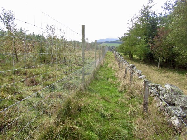
The plantation offers an ideal setting for nature enthusiasts and outdoor adventurers. There are several well-marked walking trails that wind through the woodland, allowing visitors to explore the natural beauty of the area. The peaceful ambiance and scenic views make it an excellent spot for picnics, photography, and simply immersing oneself in the tranquility of nature.
Overall, Ewehill Plantation in Lanarkshire is a captivating woodland that boasts stunning landscapes, diverse flora, and a rich variety of fauna. Its accessibility and natural beauty make it a popular destination for both locals and tourists seeking a peaceful retreat amidst the beauty of nature.
If you have any feedback on the listing, please let us know in the comments section below.
Ewehill Plantation Images
Images are sourced within 2km of 55.646028/-3.5003888 or Grid Reference NT0540. Thanks to Geograph Open Source API. All images are credited.
![Candy Burn ford and footbridge The boundary between the Scottish Borders [this side] and South Lanarkshire [across the burn]. On the road from Skirling and Cambwell to the main A702 Biggar to Edinburgh road.](https://s1.geograph.org.uk/geophotos/07/12/73/7127345_c67d4f51.jpg)


Ewehill Plantation is located at Grid Ref: NT0540 (Lat: 55.646028, Lng: -3.5003888)
Unitary Authority: South Lanarkshire
Police Authority: Lanarkshire
What 3 Words
///soak.imprinted.sneezed. Near Biggar, South Lanarkshire
Nearby Locations
Related Wikis

Skirling
Skirling is a parish, community council area and village in Peeblesshire in the Scottish Borders situated 2+1⁄2 miles east of Biggar in Lanarkshire. Biggar...

Biggar Corn Exchange
Biggar Corn Exchange is a commercial building in the High Street, Biggar, South Lanarkshire, Scotland. The structure, which is now used as a theatre, is...
Biggar, South Lanarkshire
Biggar (Scottish Gaelic: Bigear [ˈpikʲəɾ]) is a town and former burgh in South Lanarkshire, Scotland, in the Southern Uplands near the River Clyde on...

Brownsbank
Brownsbank (Brounsbank in Scots) is a cottage close to the small settlement of Candymill to the north of Biggar in Scotland. It is best known as the former...

Kello Hospital
Kello Hospital is a health facility in John's Loan, Biggar, South Lanarkshire, Scotland. It is managed by NHS Lanarkshire. == History == The facility,...
Biggar High School
Biggar High School (Local education authority: South Lanarkshire) is a secondary school located in the town of Biggar, South Lanarkshire. It is a mixed...
Biggar Castle
Biggar Castle was a 12th-century castle in Biggar, South Lanarkshire, Scotland. It appears to have been abandoned by the 14th century. == History == The...

Biggar (Scotland) railway station
Biggar railway station served the town of Biggar, South Lanarkshire, Scotland from 1860 to 1950 on the Symington, Biggar and Broughton Railway. == History... ==
Nearby Amenities
Located within 500m of 55.646028,-3.5003888Have you been to Ewehill Plantation?
Leave your review of Ewehill Plantation below (or comments, questions and feedback).