Jamaicapoint Plantation
Wood, Forest in Perthshire
Scotland
Jamaicapoint Plantation
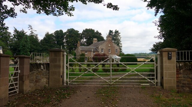
Jamaicapoint Plantation is a picturesque estate located in Perthshire, Scotland. Nestled amidst the lush woodlands and scenic landscapes, this plantation is known for its natural beauty and rich history.
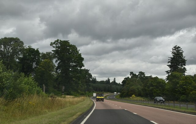
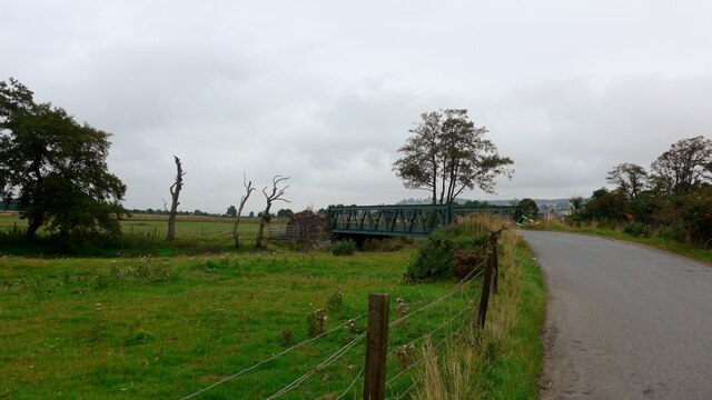
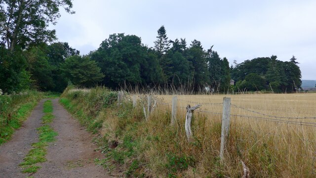
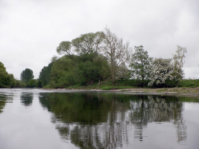
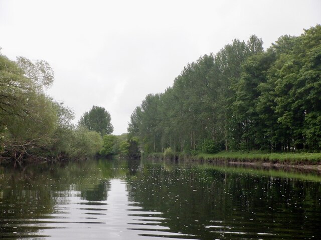
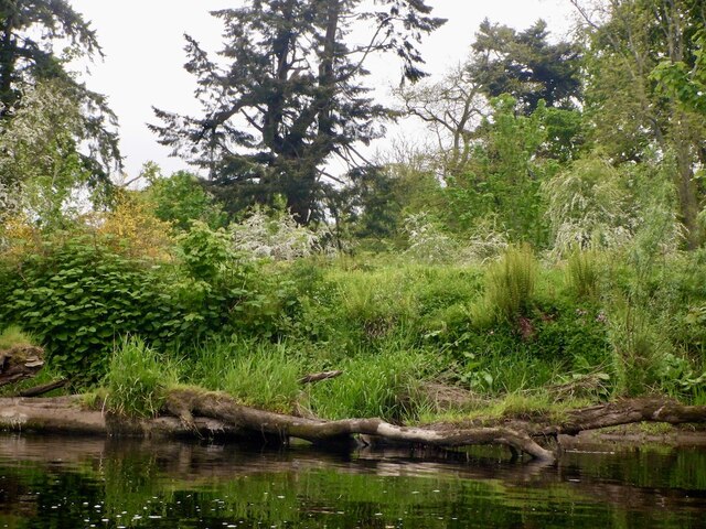
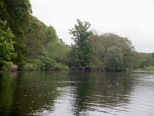
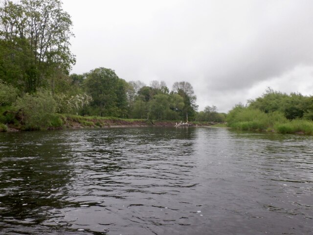
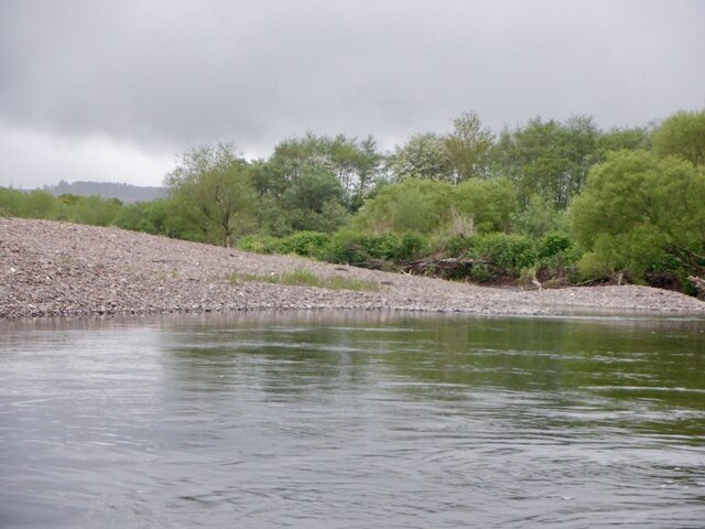
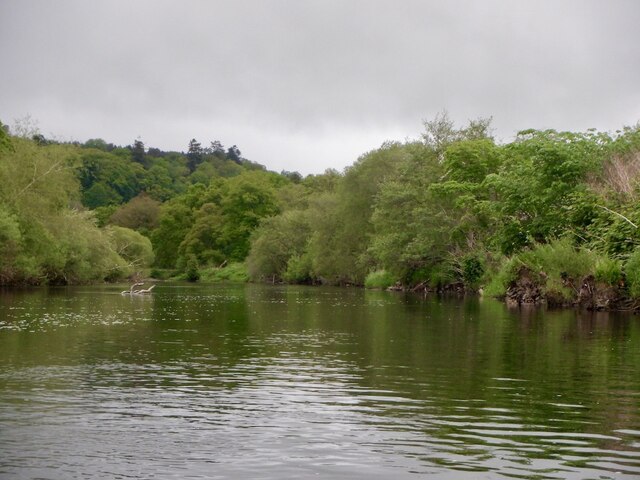
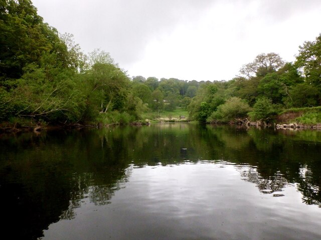
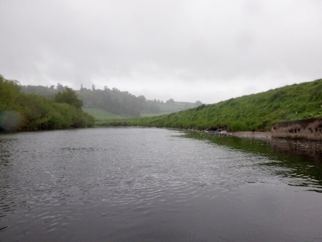
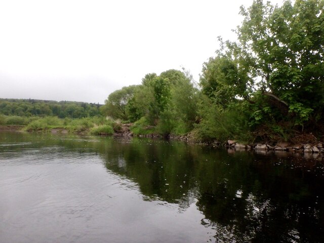
Covering an expansive area, Jamaicapoint Plantation is predominantly covered in dense forests, providing a haven for a diverse array of flora and fauna. The woodlands are composed of a variety of trees, including oak, birch, and pine, creating a captivating tapestry of colors throughout the seasons. The plantation is also home to several walking trails, offering visitors the opportunity to explore the enchanting forest and enjoy the tranquility it offers.
The history of Jamaicapoint Plantation is deeply rooted in Scotland's past. The name "Jamaicapoint" is believed to have originated from the plantation's connection to the sugar trade between Scotland and Jamaica during the 18th century. The estate was once a thriving center for sugar production, with sugarcane being cultivated and processed on its grounds. Today, remnants of this historical significance can still be seen in the form of old sugar mills and other architectural features.
In recent years, the plantation has been carefully preserved and managed to maintain its natural charm. It has become a popular destination for nature enthusiasts, hikers, and those seeking a peaceful retreat amidst the beauty of the Scottish countryside. The plantation also offers guided tours, allowing visitors to learn about the history, ecology, and conservation efforts of this remarkable woodland estate.
Overall, Jamaicapoint Plantation in Perthshire is a captivating destination that combines natural splendor with a rich historical legacy, offering visitors a truly immersive experience in the heart of Scotland's woodlands.
If you have any feedback on the listing, please let us know in the comments section below.
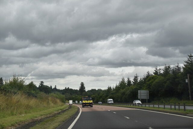
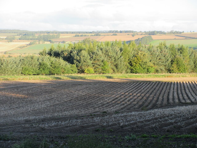
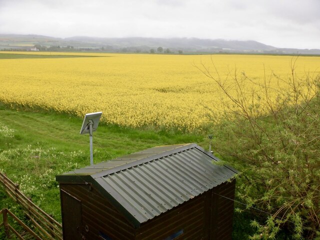
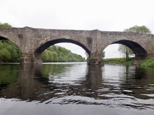
Jamaicapoint Plantation Images
Images are sourced within 2km of 56.350186/-3.5347418 or Grid Reference NO0518. Thanks to Geograph Open Source API. All images are credited.
Jamaicapoint Plantation is located at Grid Ref: NO0518 (Lat: 56.350186, Lng: -3.5347418)
Unitary Authority: Perth and Kinross
Police Authority: Tayside
What 3 Words
///envisage.hamper.importers. Near Almondbank, Perth & Kinross
Nearby Locations
Related Wikis
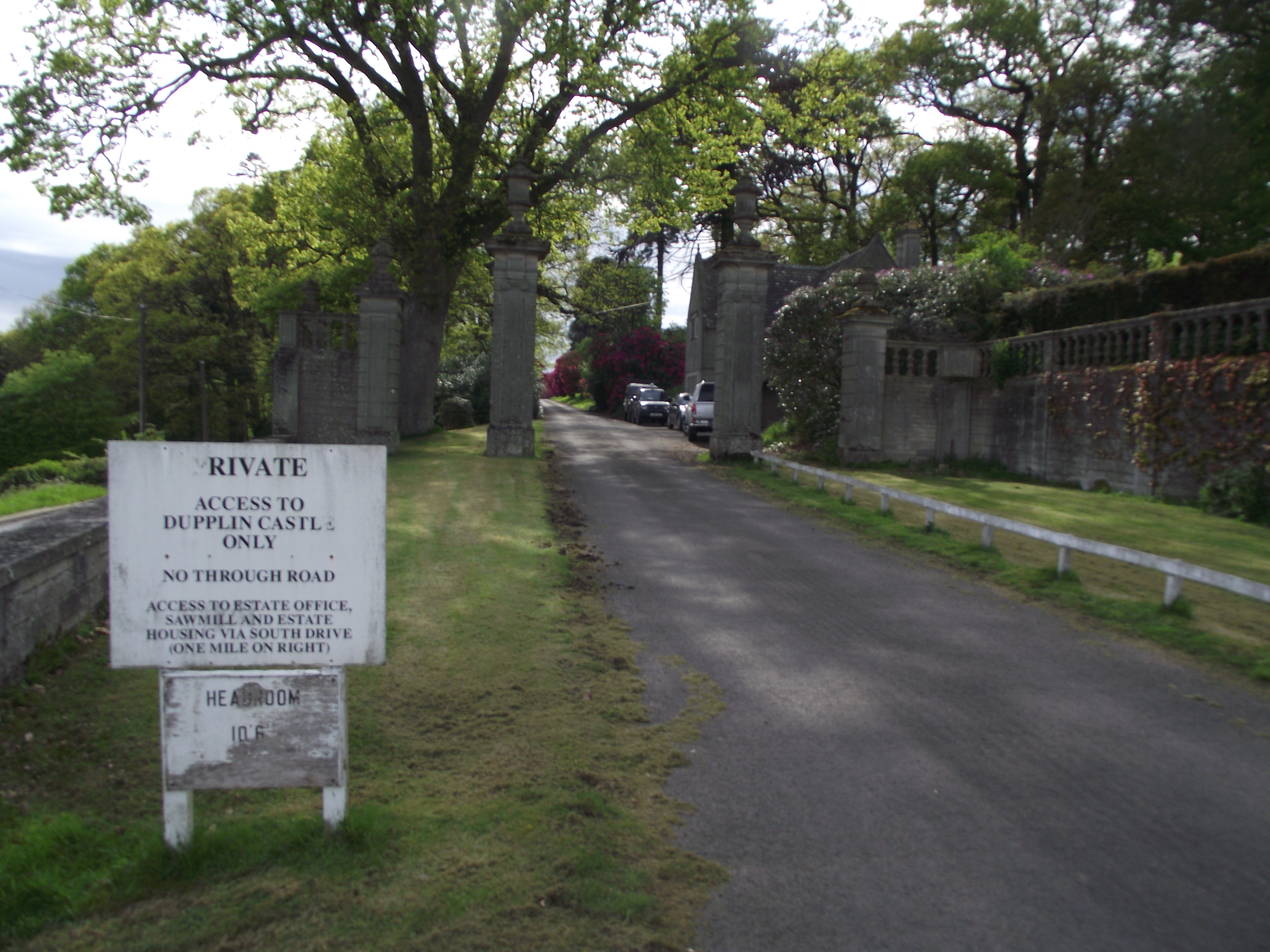
Dupplin Castle
Dupplin Castle is a country house and former castle in Perth and Kinross, Scotland, situated to the west of Aberdalgie and northeast of Forteviot and Dunning...

Forteviot Bronze Age tomb
Forteviot Bronze Age tomb is a Bronze Age burial chamber discovered in 2009 at Forteviot near Perth, Scotland. The Bronze Age tomb is one of a number of...

Forteviot railway station
Forteviot railway station served the village of Forteviot, Perth and Kinross, Scotland from 1848 to 1956 on the Scottish Central Railway. == History... ==
Forteviot
Forteviot (Scottish Gaelic: Fothair Tabhaicht) (Ordnance Survey grid reference NO052175) is a village in Strathearn, Scotland on the south bank of the...
Nearby Amenities
Located within 500m of 56.350186,-3.5347418Have you been to Jamaicapoint Plantation?
Leave your review of Jamaicapoint Plantation below (or comments, questions and feedback).