Camp Wood
Wood, Forest in Midlothian
Scotland
Camp Wood

Camp Wood is a picturesque woodland located in Midlothian, Scotland. Covering an area of approximately 50 acres, this forested area is known for its natural beauty and abundant wildlife. The campsite is situated just a short distance from the small village of Wood, making it easily accessible for visitors.
The woodland is characterized by a dense canopy of mature trees, including oak, beech, and pine, which provide a tranquil and sheltered environment. The forest floor is covered with a lush carpet of ferns, mosses, and wildflowers, creating a rich and diverse ecosystem.
Camp Wood offers a range of recreational activities for visitors of all ages. There are numerous walking trails that wind through the forest, allowing visitors to explore the natural wonders and enjoy the peaceful surroundings. The trails are well-maintained and suitable for both experienced hikers and families with young children.
For those interested in wildlife spotting, Camp Wood is home to a variety of species, including red squirrels, deer, and a wide array of birdlife. Birdwatchers will be delighted by the opportunity to observe rare species such as the Scottish crossbill and the capercaillie.
Additionally, the campsite provides basic amenities for overnight stays, including camping pitches and toilet facilities. Camp Wood is a popular destination for outdoor enthusiasts seeking a serene and immersive experience in the heart of nature.
If you have any feedback on the listing, please let us know in the comments section below.
Camp Wood Images
Images are sourced within 2km of 55.822939/-3.5172489 or Grid Reference NT0559. Thanks to Geograph Open Source API. All images are credited.
![Post boxes at Crosswood Redundant postboxes put to use for delivery rather than despatch. At the start of the track to Crosswood and Crosswoodburn. The A70 [Lang Whang] heads off into the distance on the left, with the sign for the left turn [B7oo8] to West Calder.](https://s1.geograph.org.uk/geophotos/02/70/52/2705225_8e2ff54e.jpg)

![Crosswood Bridge Taking the A70 [Lang Whang] over the Crosswood Burn.](https://s1.geograph.org.uk/geophotos/02/70/52/2705253_c95ac985.jpg)

![The B7008 passes through Camilty A large plantation, part of the Central Scotland Forest, now reaching maturity and being cleared nearby. Looking along the B7008 from West Calder towards the Lang Whang [A70].](https://s2.geograph.org.uk/geophotos/02/73/14/2731462_7d0842ac.jpg)


Camp Wood is located at Grid Ref: NT0559 (Lat: 55.822939, Lng: -3.5172489)
Unitary Authority: West Lothian
Police Authority: The Lothians and Scottish Borders
What 3 Words
///tube.fists.compacts. Near West Calder, West Lothian
Nearby Locations
Related Wikis
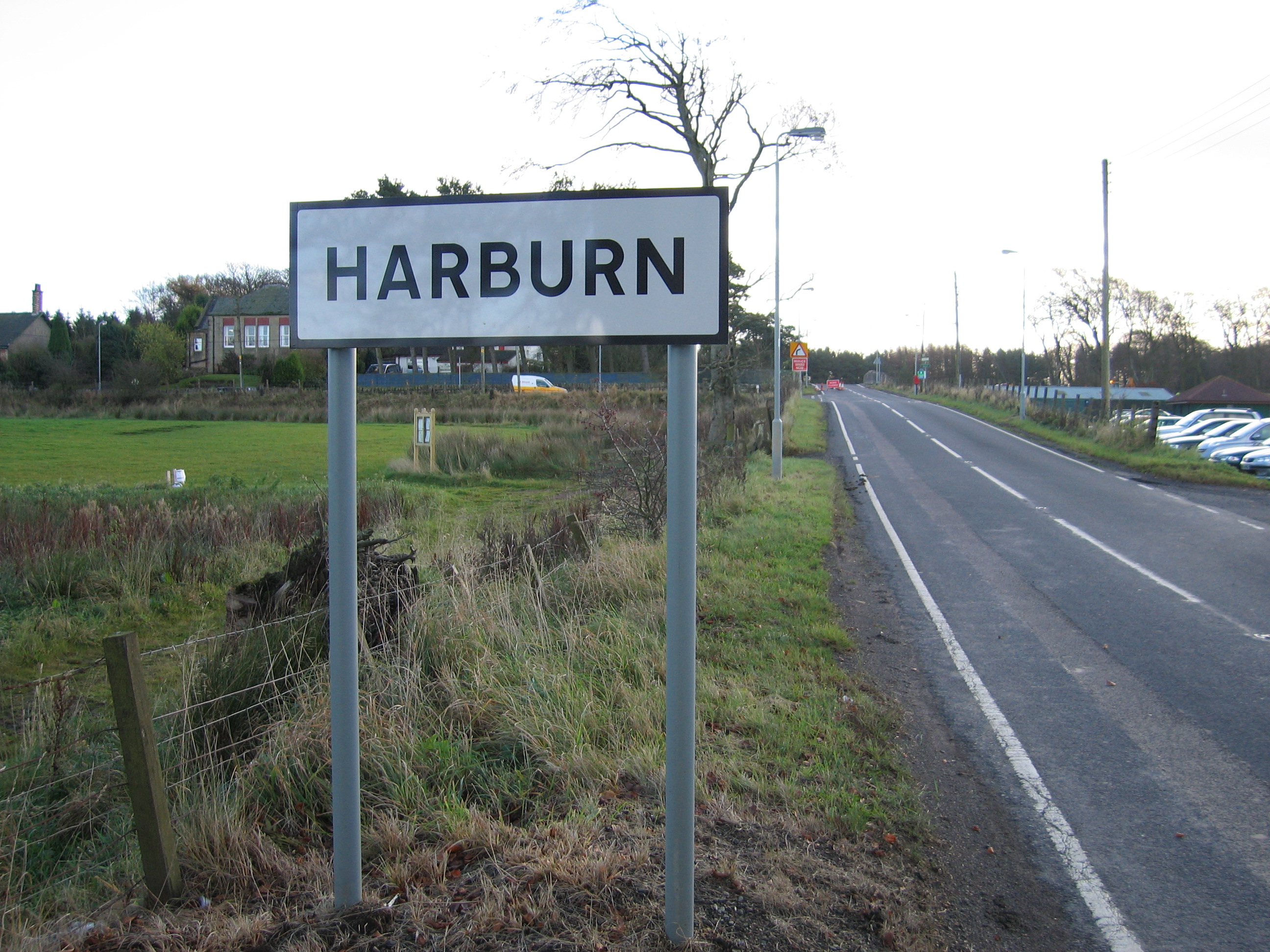
Harburn, West Lothian
Harburn is a small village and estate in West Lothian, Scotland. It lies approximately 2 miles south-east of West Calder and just to the north of the Pentland...
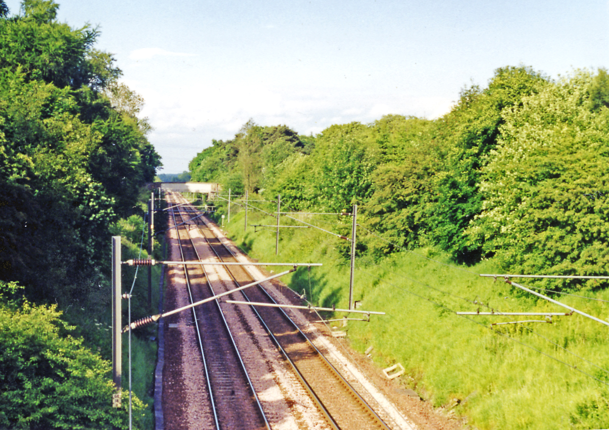
Harburn railway station
Harburn railway station was situated on the Caledonian Railway line between Carstairs railway station and Edinburgh. It was closed in 1966 by the Beeching...
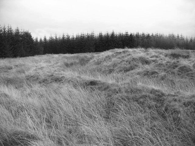
Castle Greg
Castle Greg is the archaeological remains of a Roman fortlet in Harburn on the Camilty Plantation, approximately three miles south-east of West Calder...

Cobbinshaw Reservoir
Cobbinshaw Reservoir is a reservoir in West Lothian, Scotland. It is situated near the Pentland Hills, 5 km south of West Calder. The 310-acre (1.3 km2...
Have you been to Camp Wood?
Leave your review of Camp Wood below (or comments, questions and feedback).