Dalpowie Plantation
Wood, Forest in Perthshire
Scotland
Dalpowie Plantation
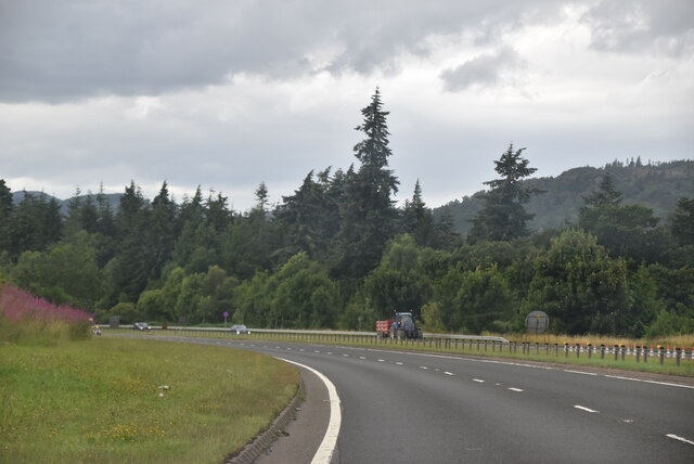
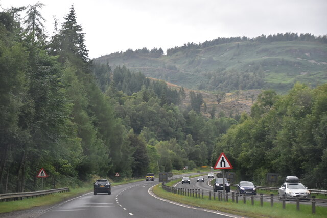
Dalpowie Plantation is a picturesque woodland located in Perthshire, Scotland. Spanning over a considerable area, the plantation is known for its diverse range of tree species and enchanting natural beauty.
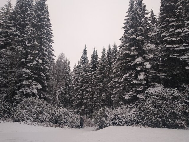
The plantation is predominantly covered by mature coniferous trees, including Scots pine, Douglas fir, and Norway spruce. These towering trees create a dense canopy, providing a haven for a variety of wildlife. The undergrowth consists of ferns, mosses, and wildflowers, adding to the plantation's overall charm.
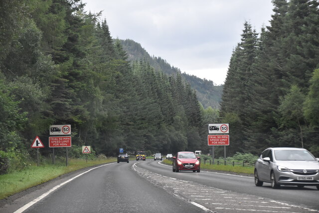
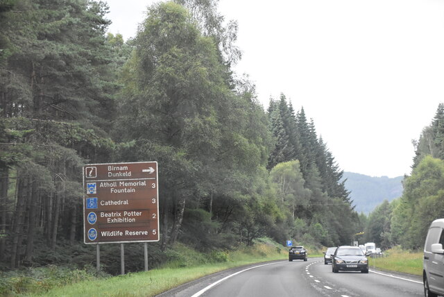
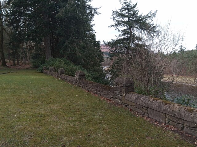
Dalpowie Plantation offers a serene and tranquil environment, making it a popular destination for nature enthusiasts and hikers. Numerous well-maintained walking trails crisscross the plantation, allowing visitors to explore its scenic beauty at their own pace. These trails offer breathtaking views of the surrounding landscape, including rolling hills and distant mountains.
The plantation is also home to a diverse range of wildlife. Birdwatchers can spot various species, such as buzzards, woodpeckers, and owls. Red squirrels and roe deer are commonly seen among the trees, while the nearby rivers attract otters and herons.
Dalpowie Plantation is well-managed, ensuring its preservation and sustainability. The plantation is periodically thinned to maintain a healthy tree population and to promote biodiversity. Additionally, the plantation actively participates in conservation efforts, including tree planting initiatives and habitat restoration projects.
Overall, Dalpowie Plantation offers a serene escape into nature, showcasing the beauty of Scotland's woodlands. Its diverse flora and fauna, coupled with well-maintained trails, make it a captivating destination for nature lovers and outdoor enthusiasts alike.
If you have any feedback on the listing, please let us know in the comments section below.
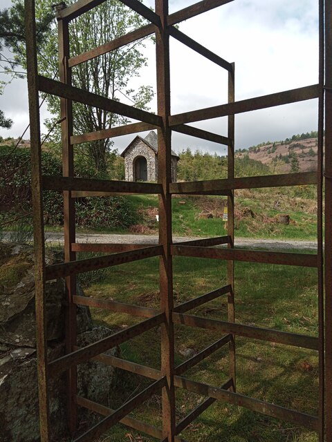
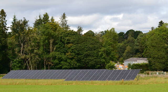
Dalpowie Plantation Images
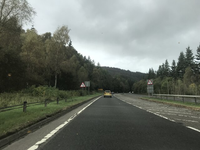
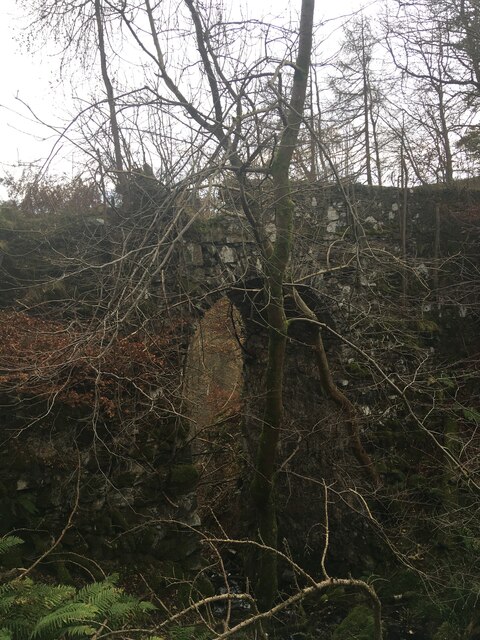
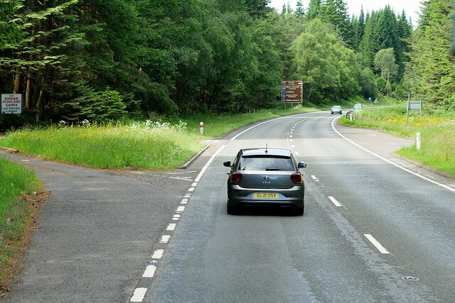
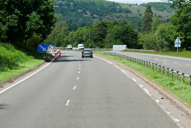
Images are sourced within 2km of 56.542818/-3.5465622 or Grid Reference NO0540. Thanks to Geograph Open Source API. All images are credited.


Dalpowie Plantation is located at Grid Ref: NO0540 (Lat: 56.542818, Lng: -3.5465622)
Unitary Authority: Perth and Kinross
Police Authority: Tayside
What 3 Words
///thin.forensic.glassware. Near Bankfoot, Perth & Kinross
Nearby Locations
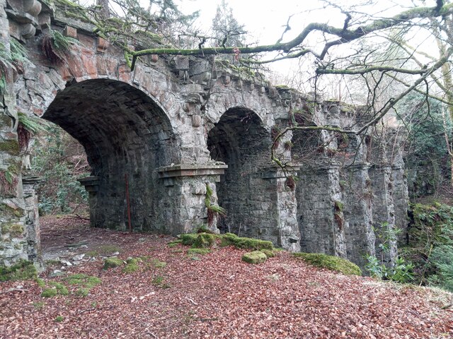
Related Wikis

Rohallion railway station
Rohallion railway station was a private station from 1860 to 1864 on the Perth and Dunkeld Railway. == History == The station opened in February 1860 by...
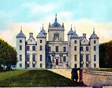
Murthly House
Murthly House, also known as New Murthly Castle, was a substantial mansion in Perth and Kinross, Scotland, designed by James Gillespie Graham and demolished...

River Braan
The River Braan (Scottish Gaelic: Breamhainn) is a tributary of the River Tay in Scotland. Within the county of Perth and Kinross, it flows 11 miles...
Birnam, Perth and Kinross
Birnam is a village in Perth and Kinross, Scotland. It is located 12 miles (19 km) north of Perth on the A9 road, the main tourist route through Perthshire...
Nearby Amenities
Located within 500m of 56.542818,-3.5465622Have you been to Dalpowie Plantation?
Leave your review of Dalpowie Plantation below (or comments, questions and feedback).